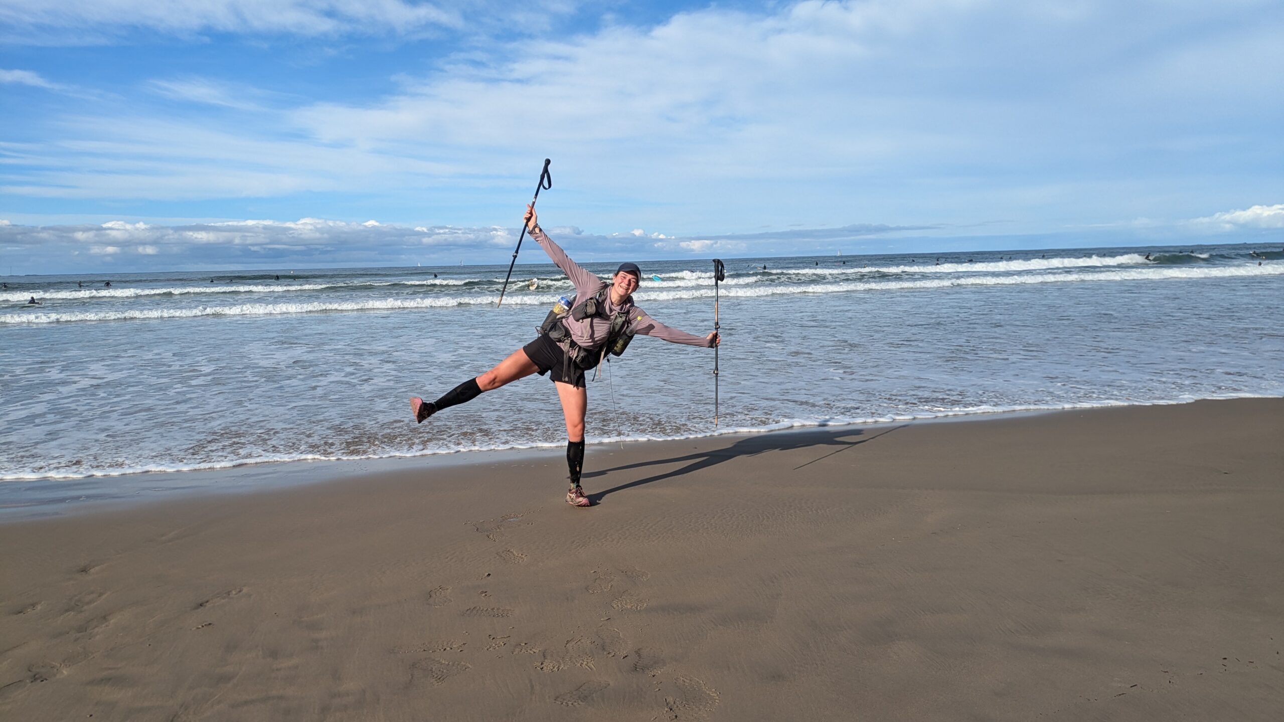
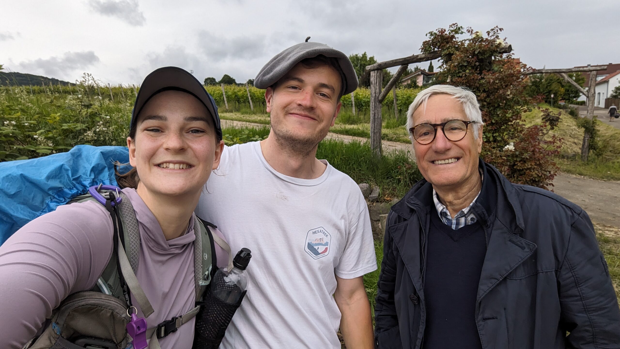
HexaTrek, France
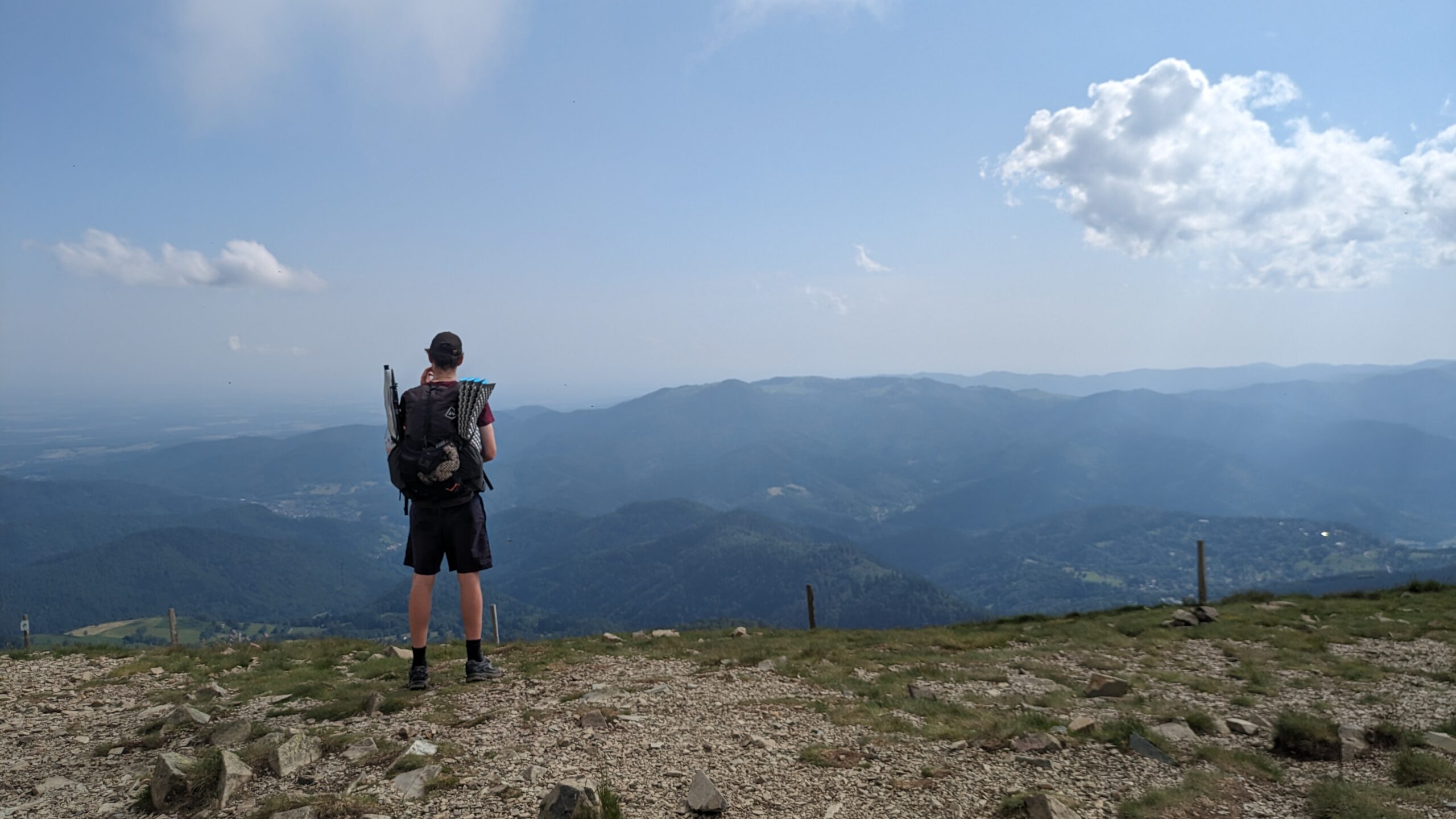
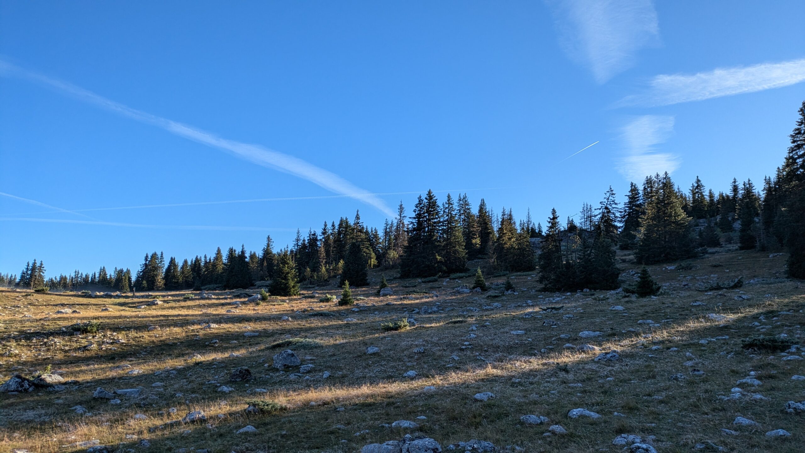
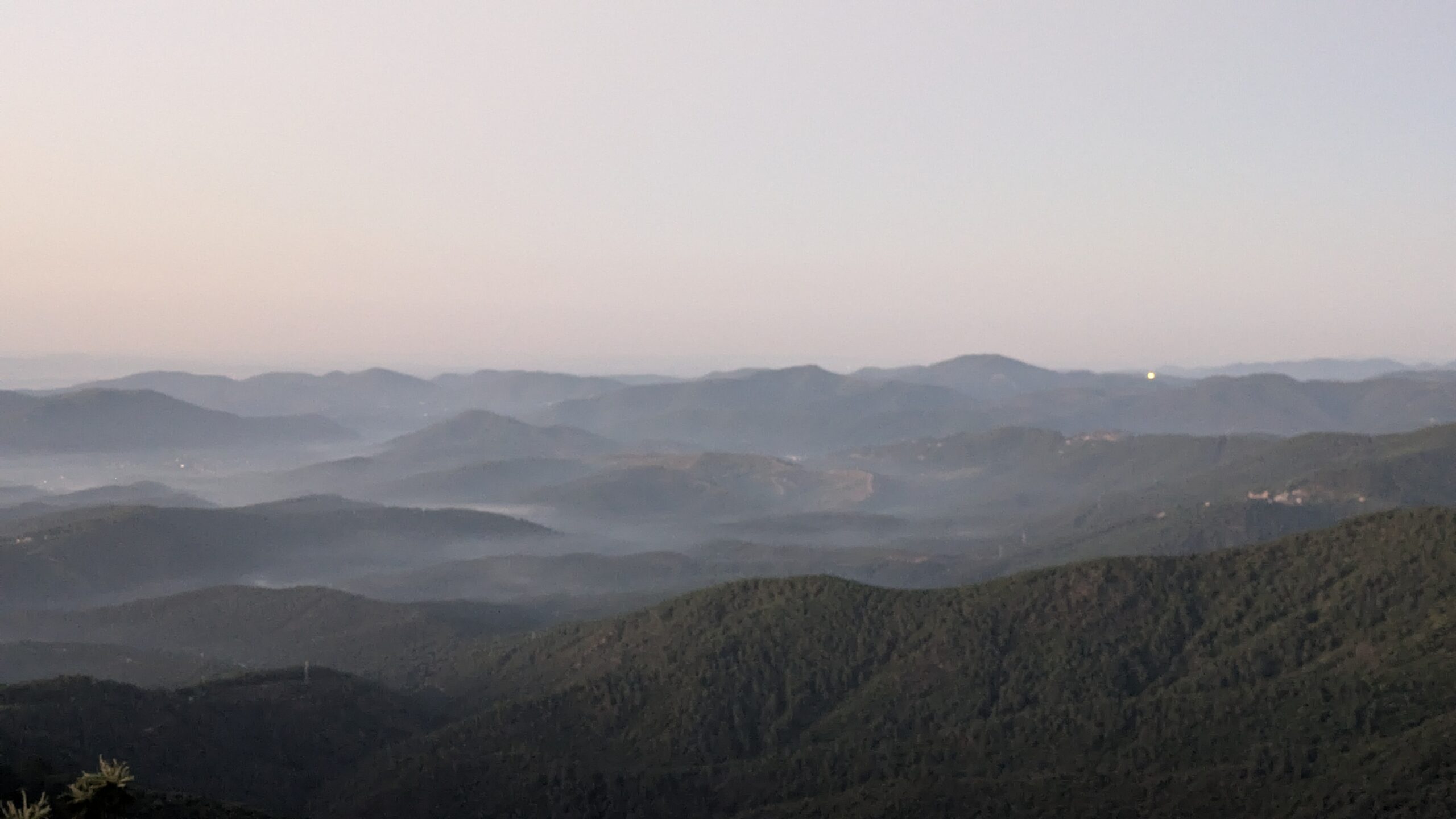
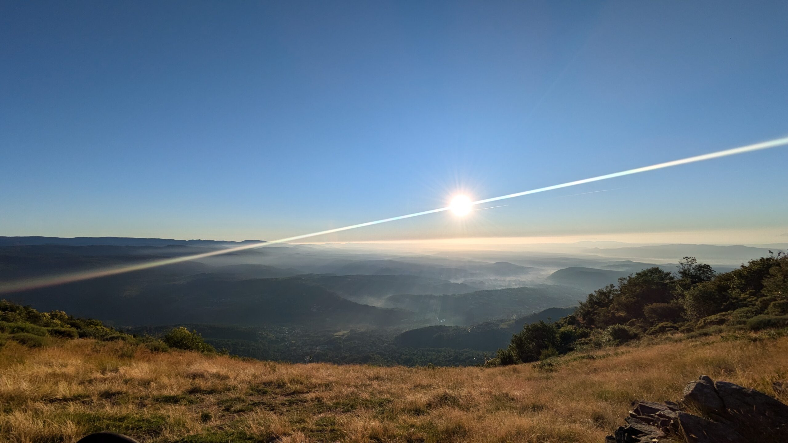
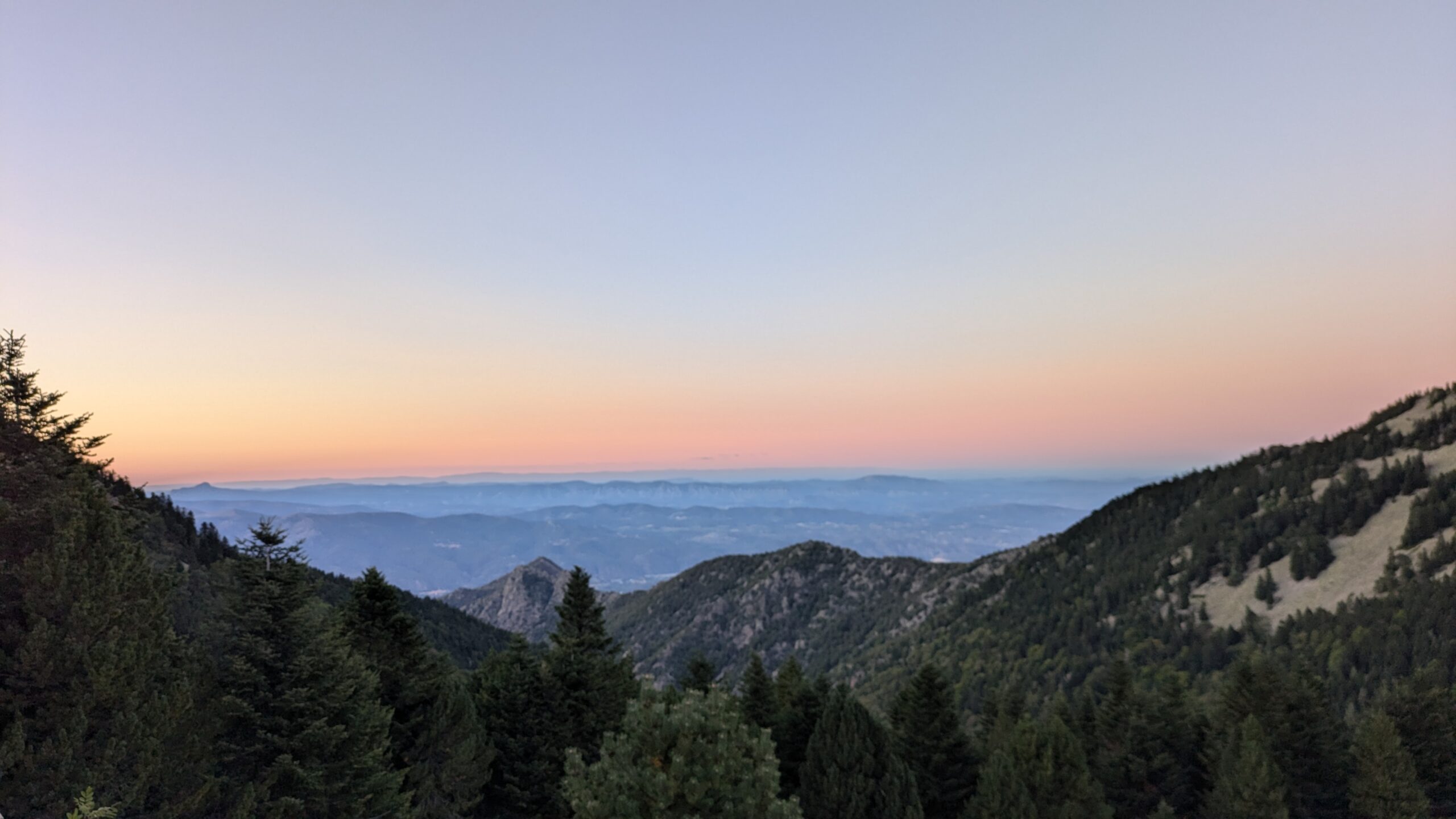
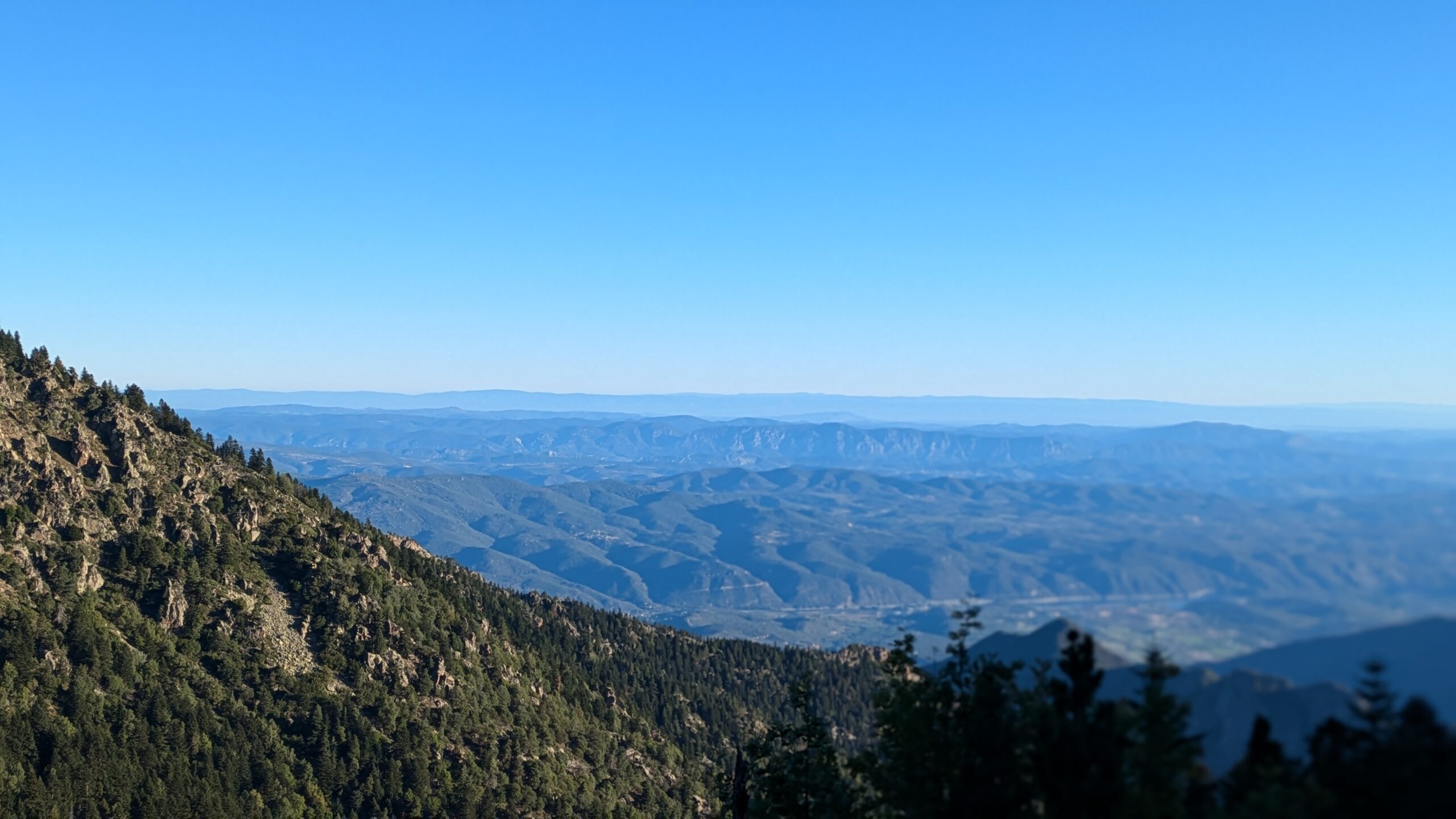
The HexaTrek is a long-distance hiking trail in France that stretches for 3,034 kilometres. The route is divided into six major sections: the Grand Est (670 km), the Northern Alps (382 km), the Hautes Alpes (497 km), the Gorges and Causses (514 km), the Eastern Pyrenees (532 km), and the Western Pyrenees (437 km).
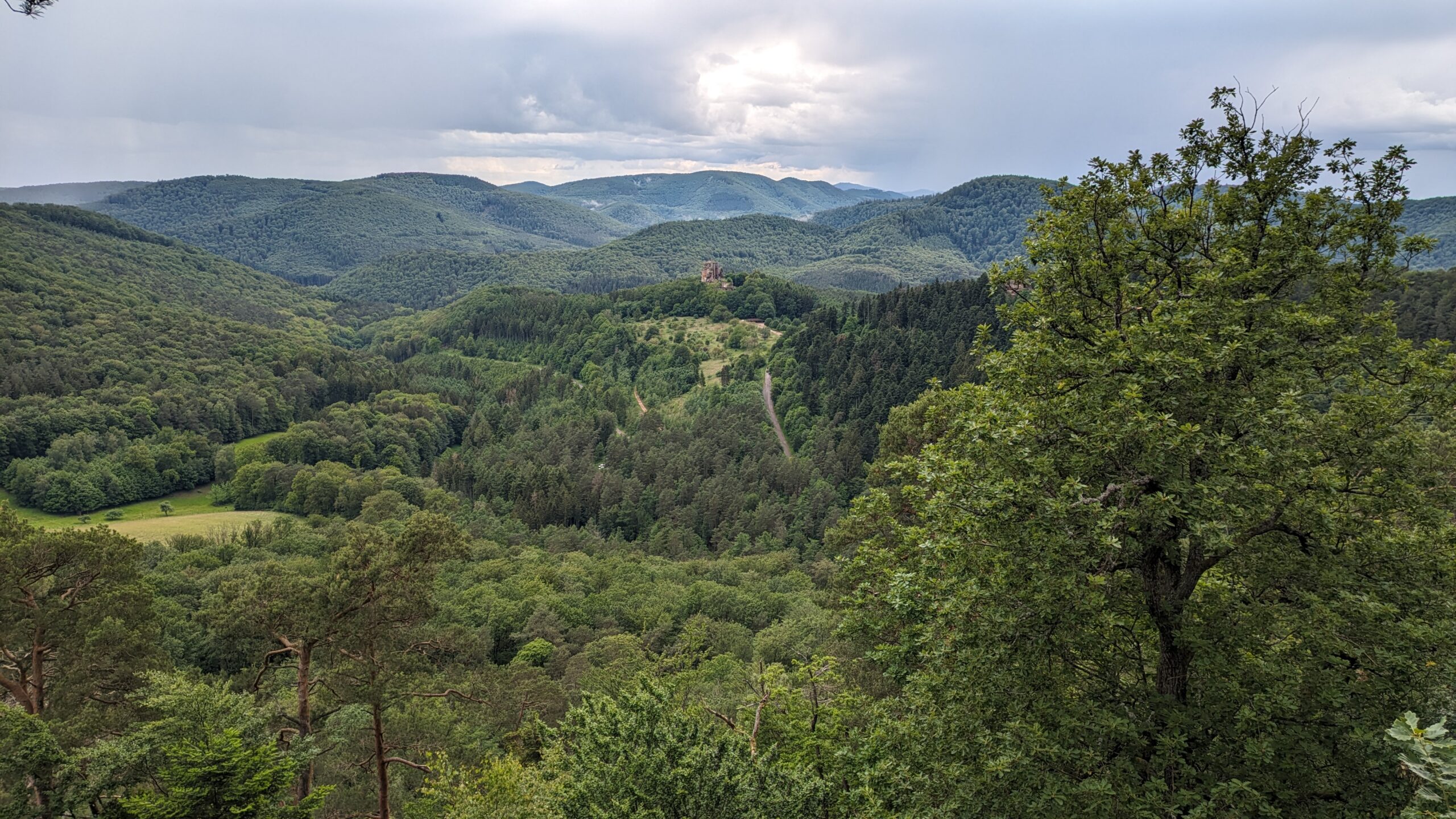
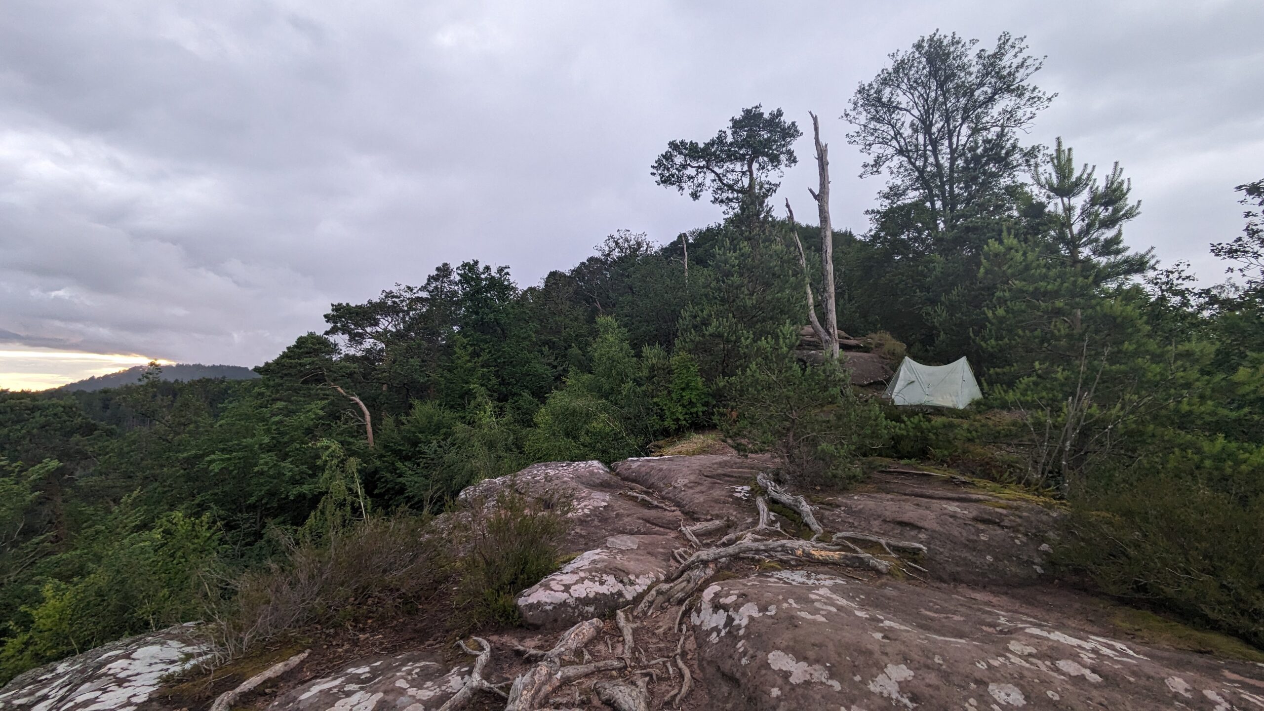
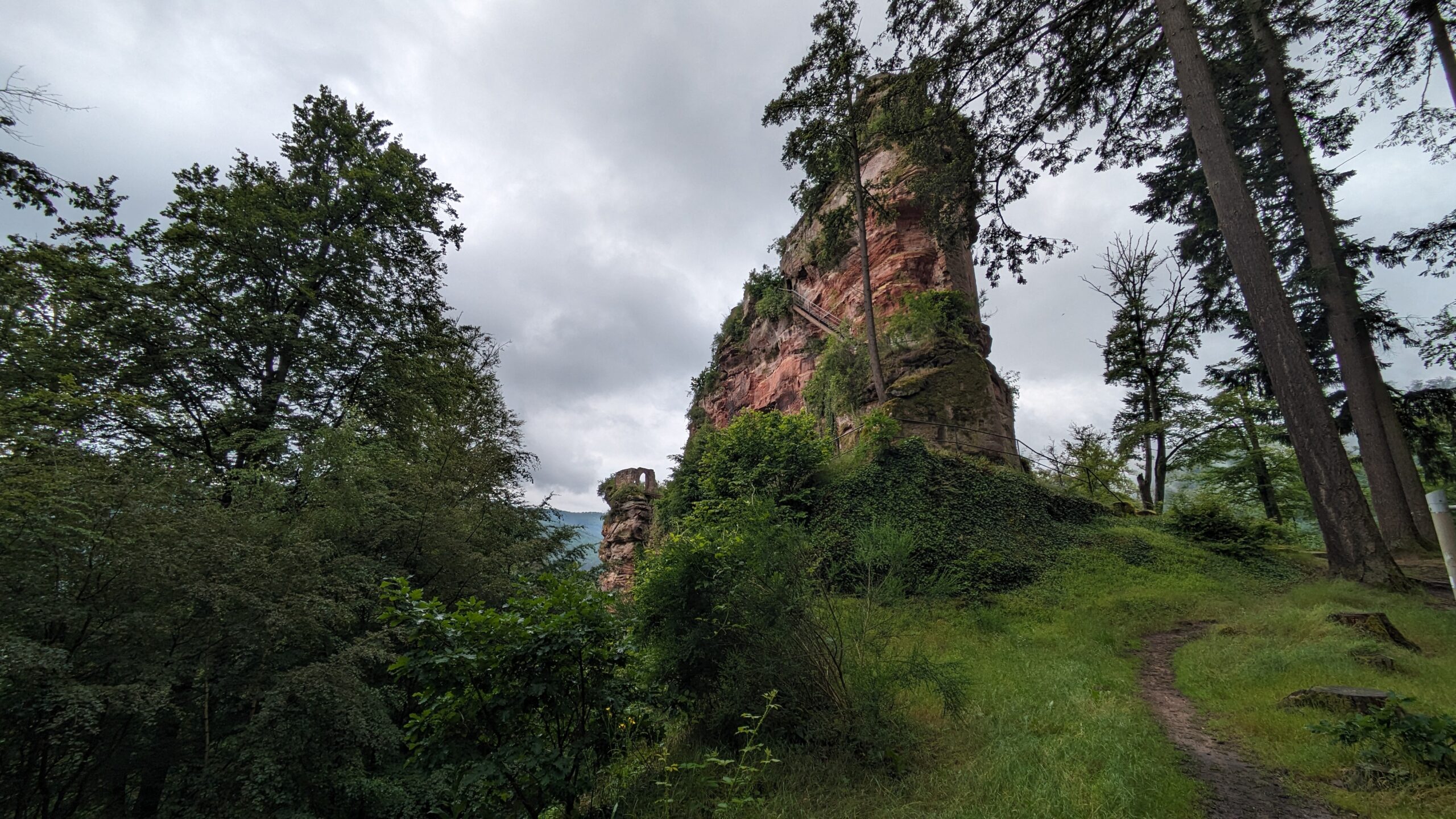
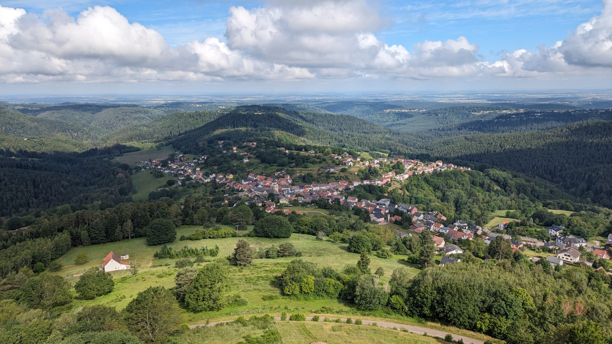
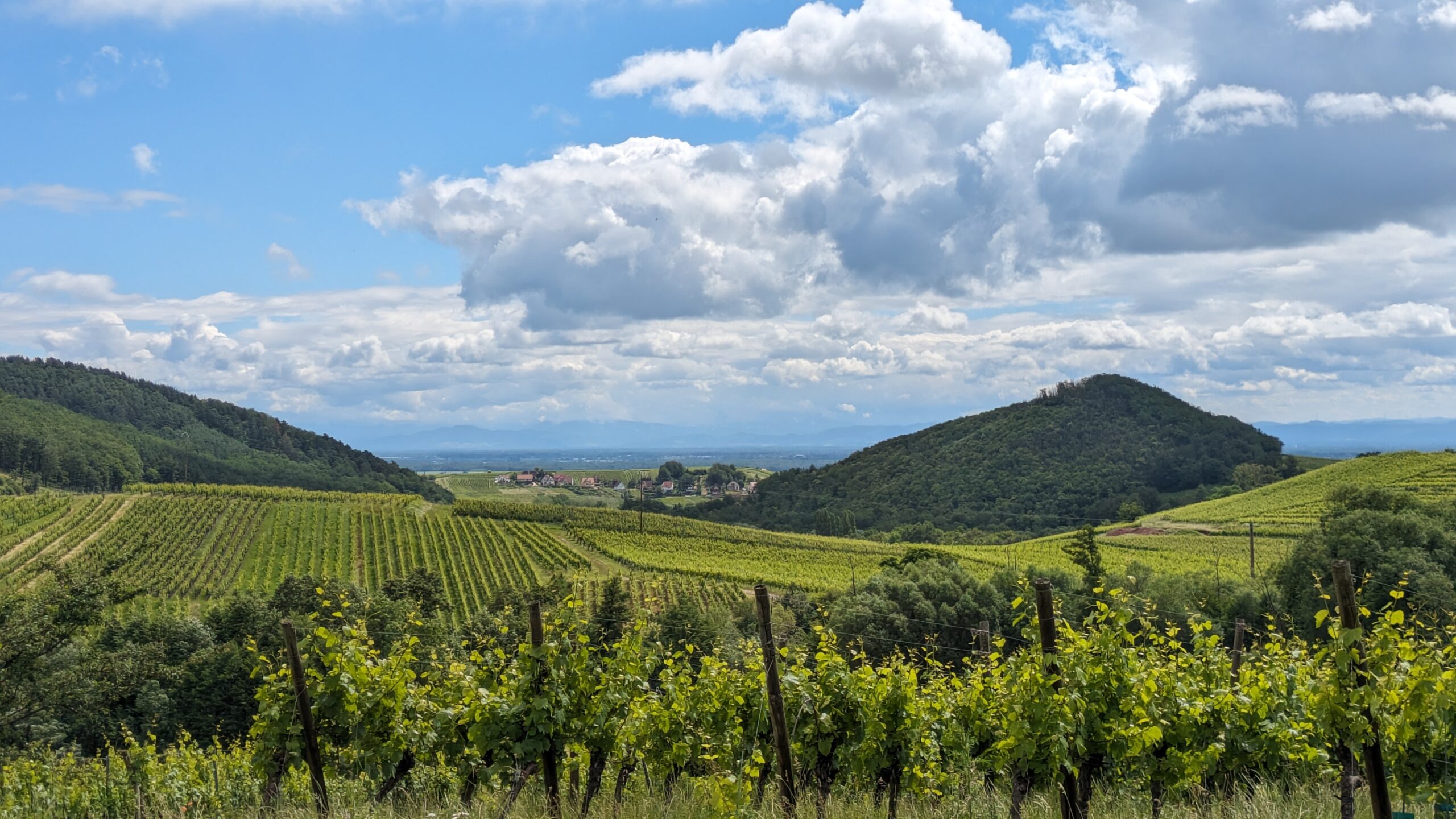
Stage 1: The Grand East
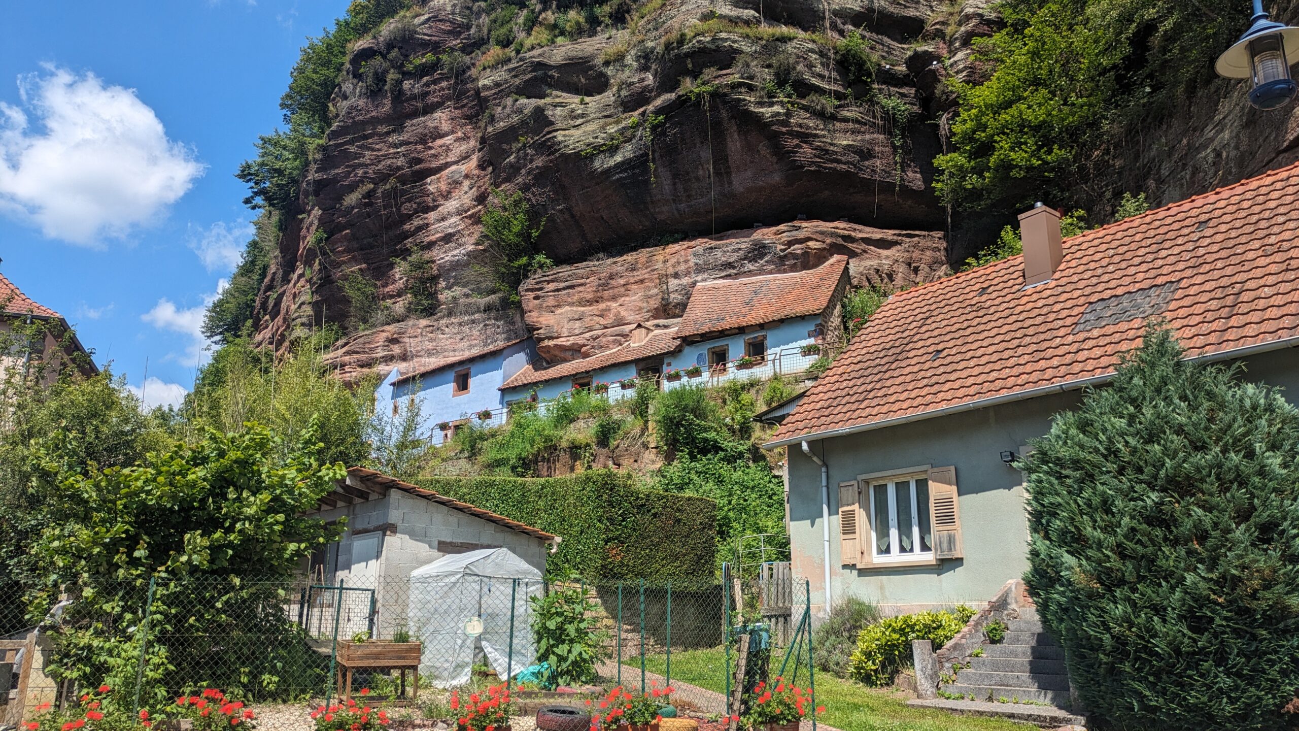
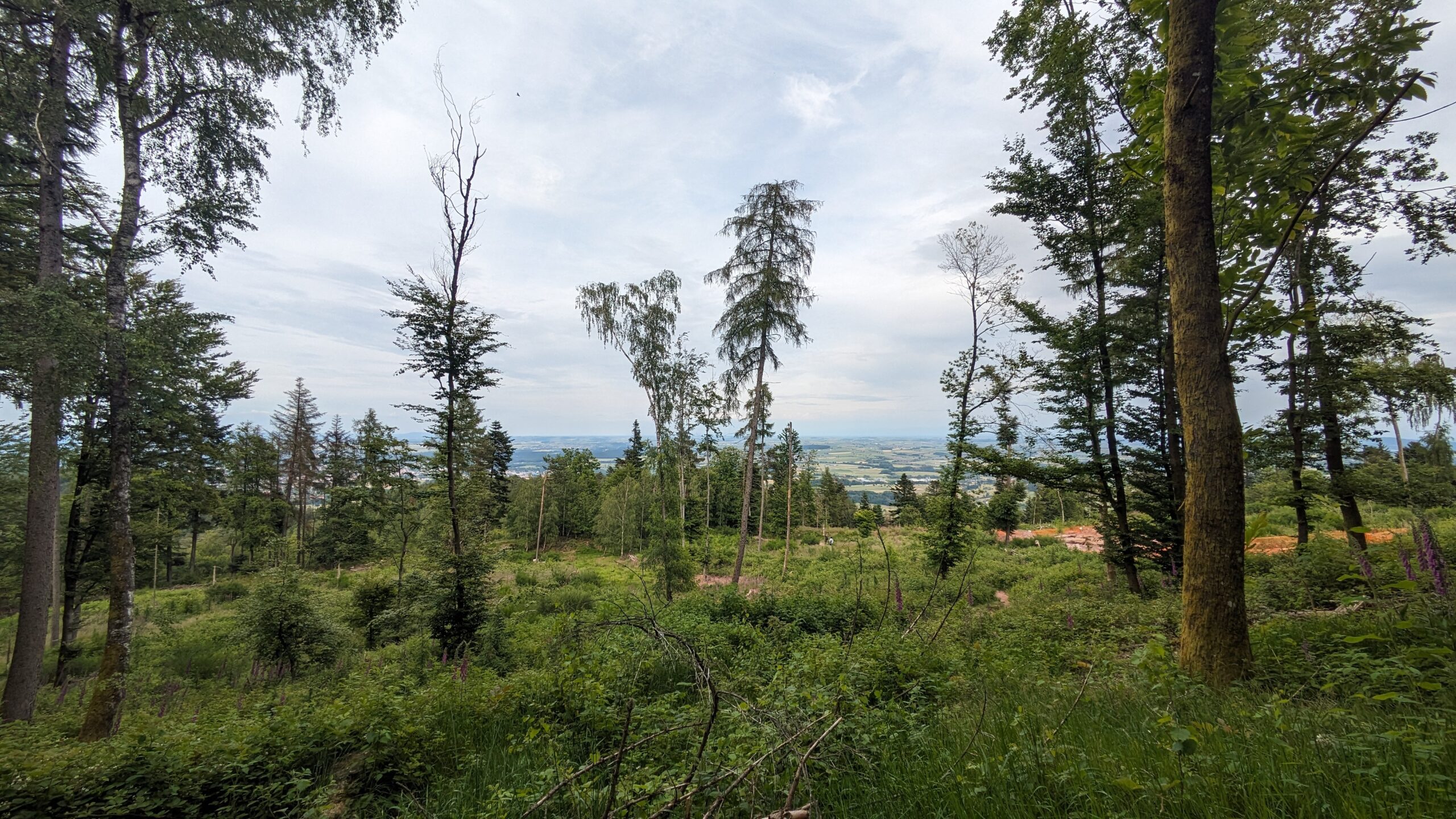
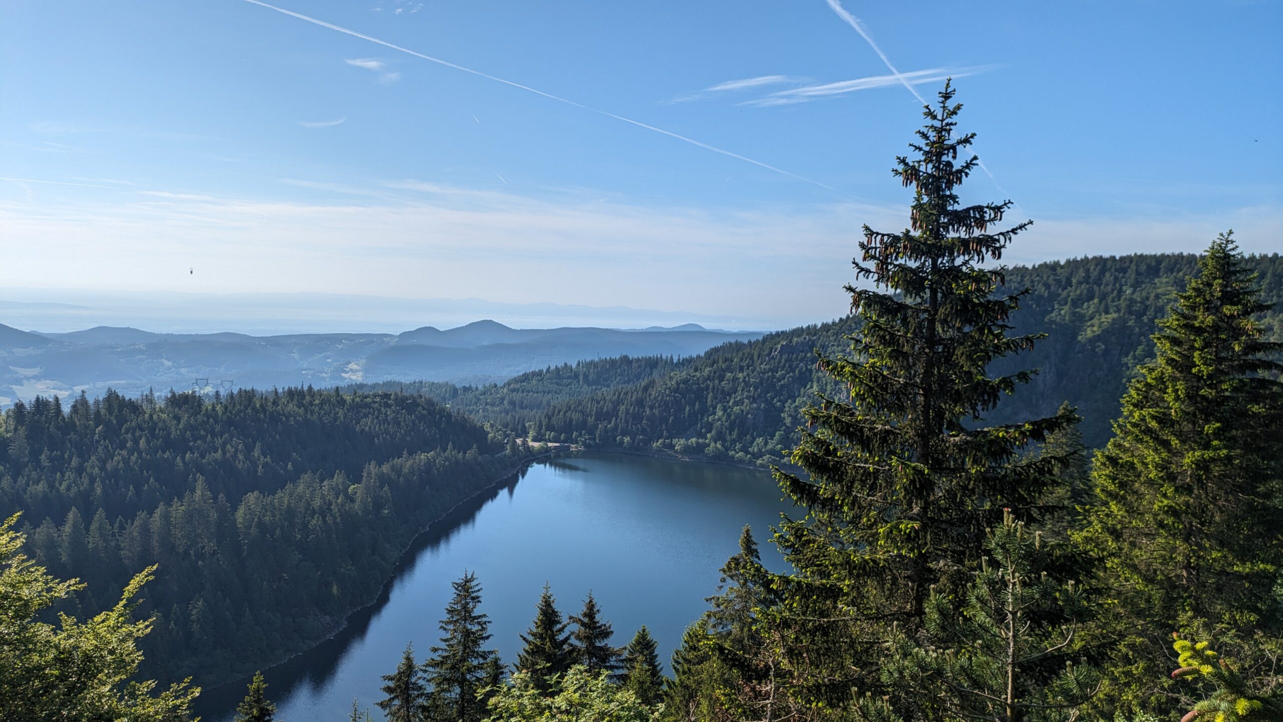
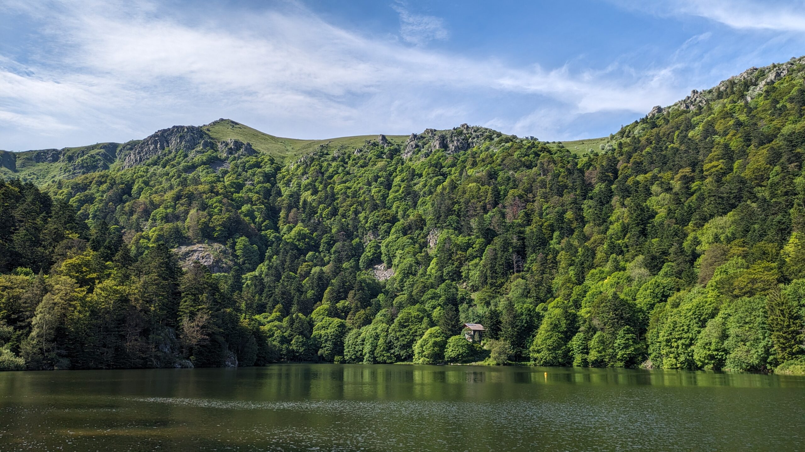
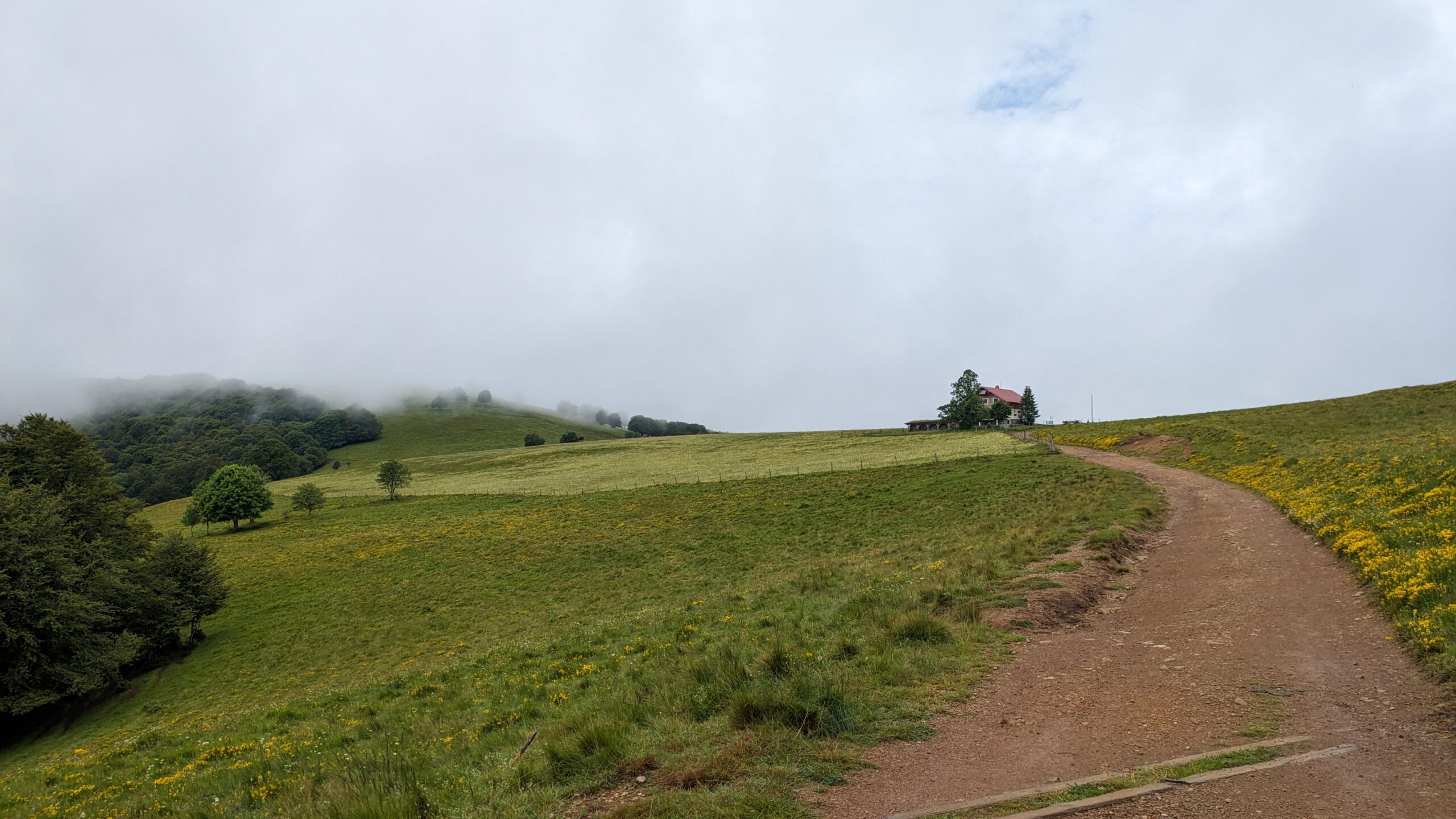
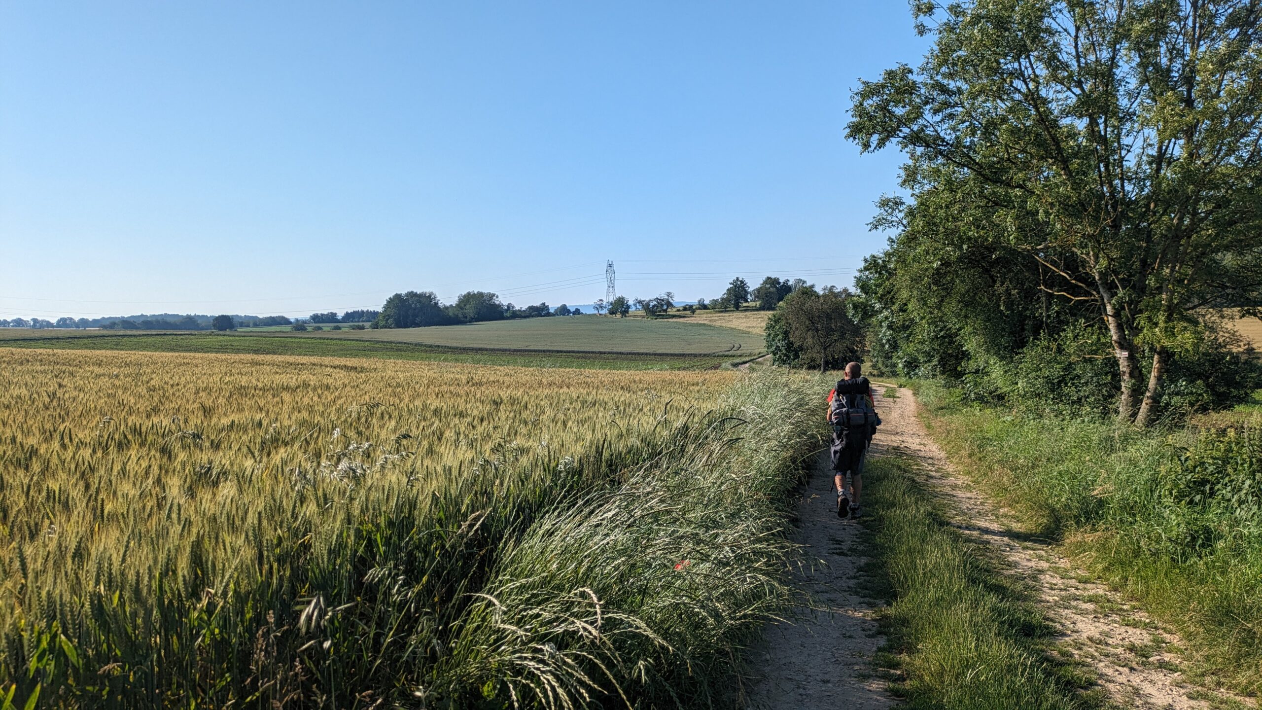
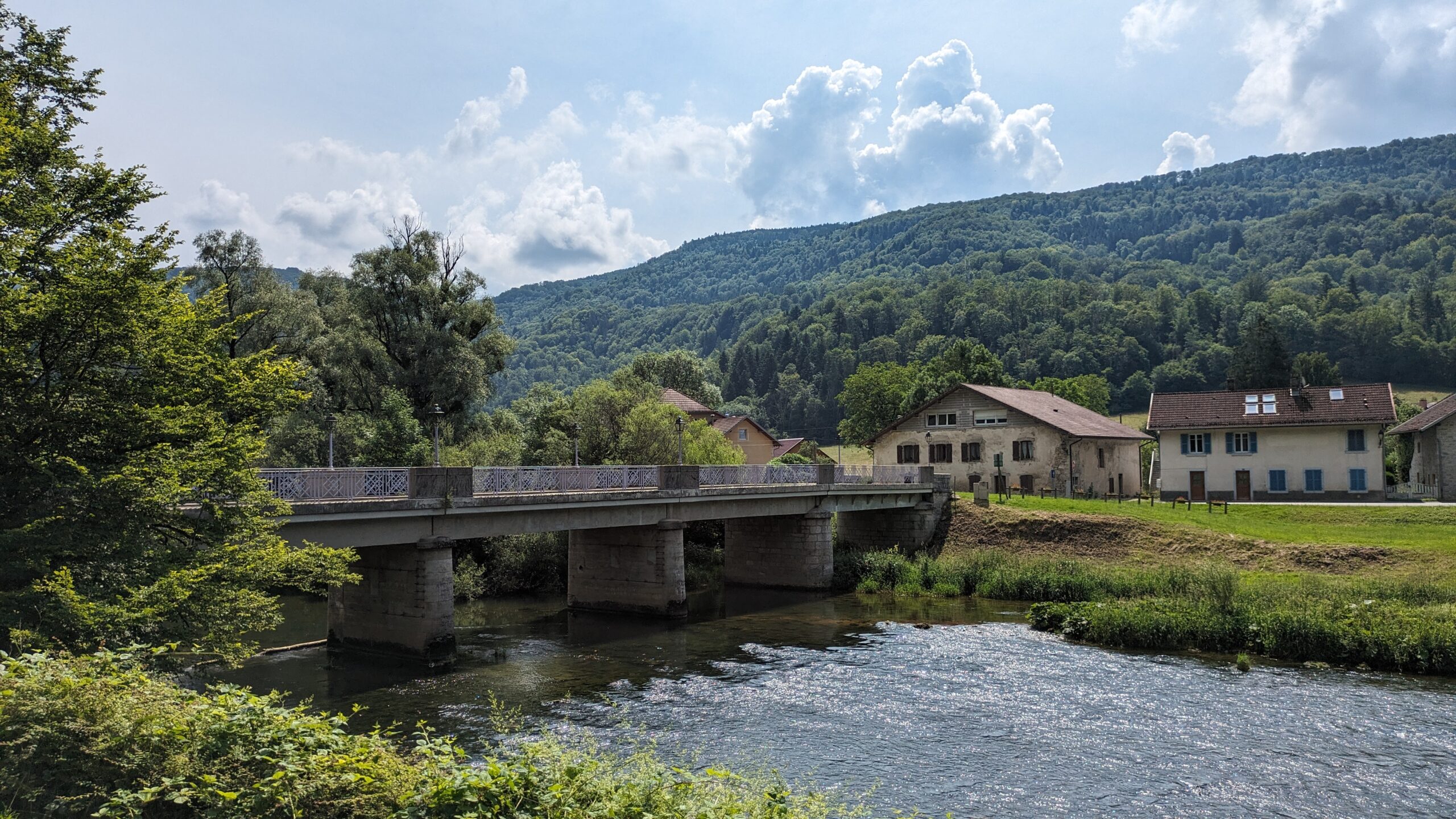
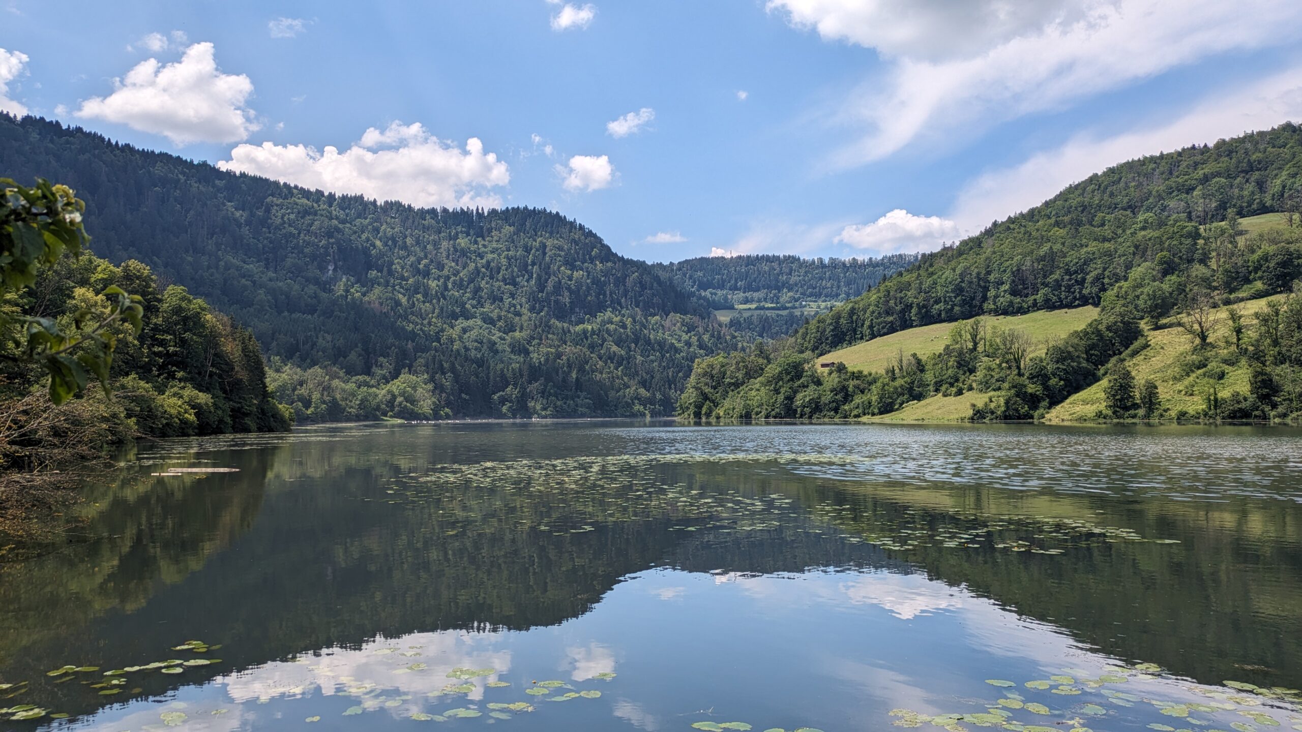
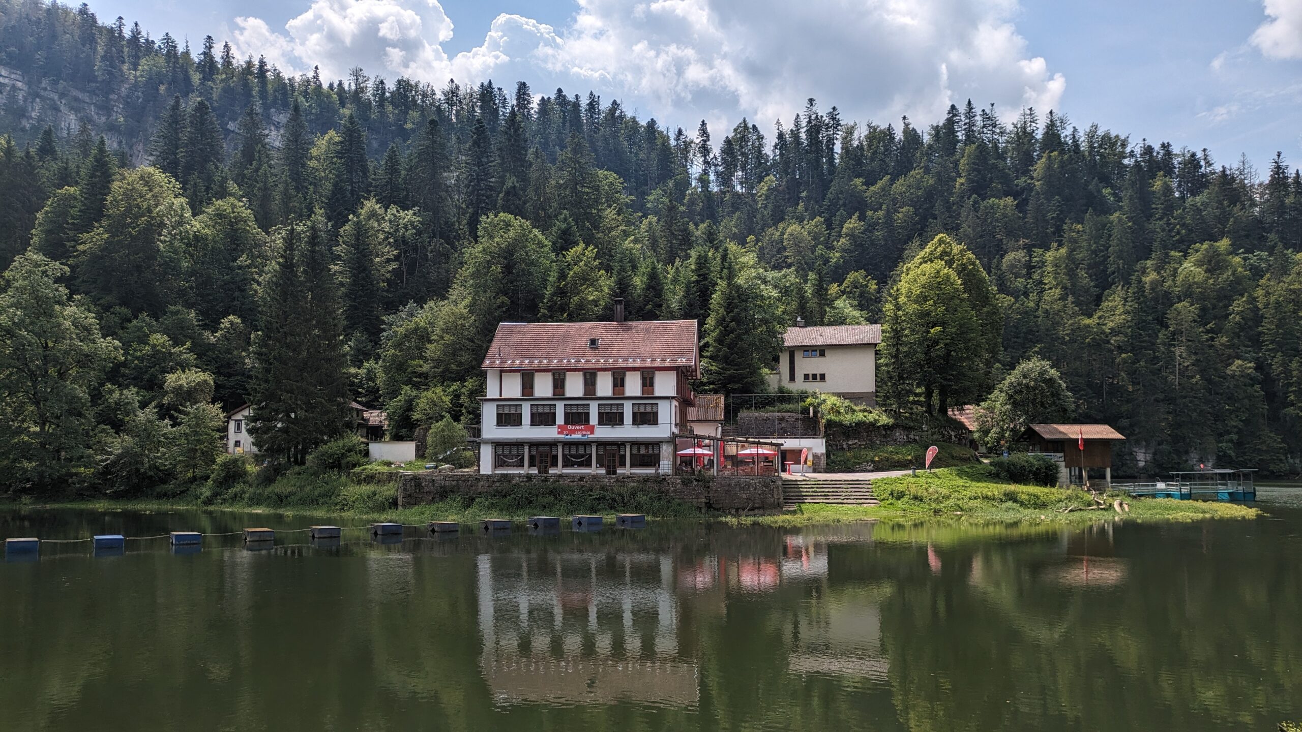
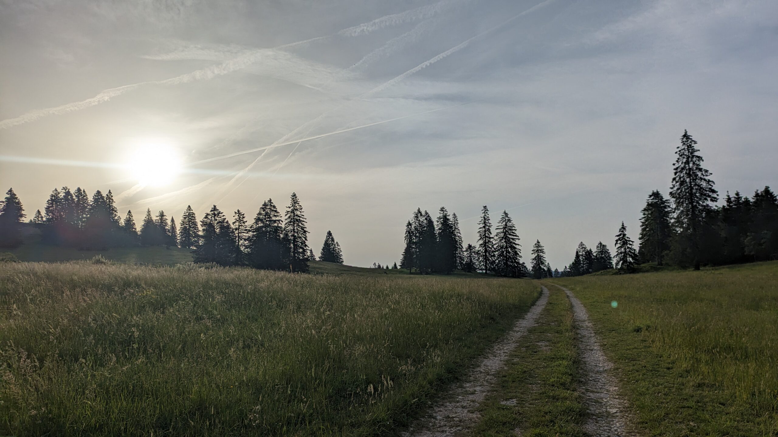
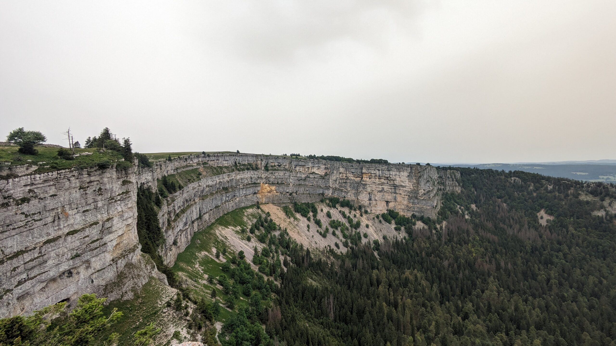
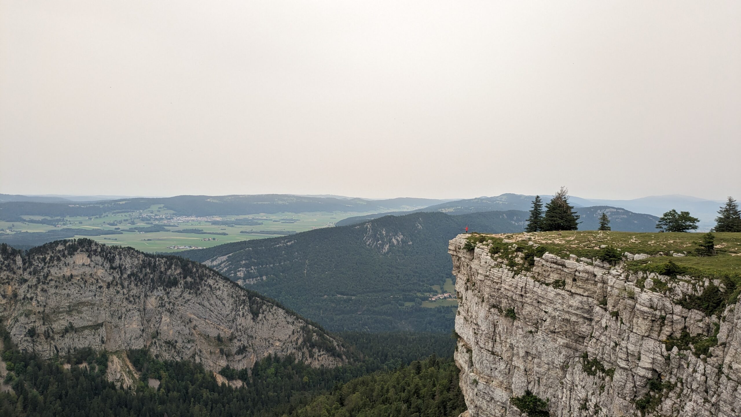
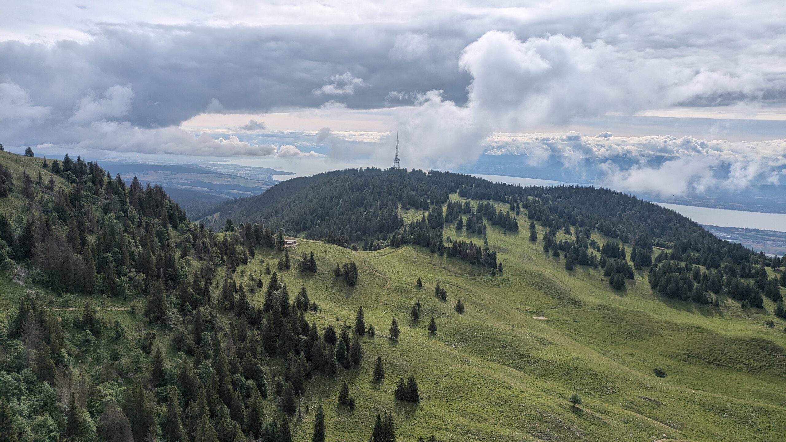
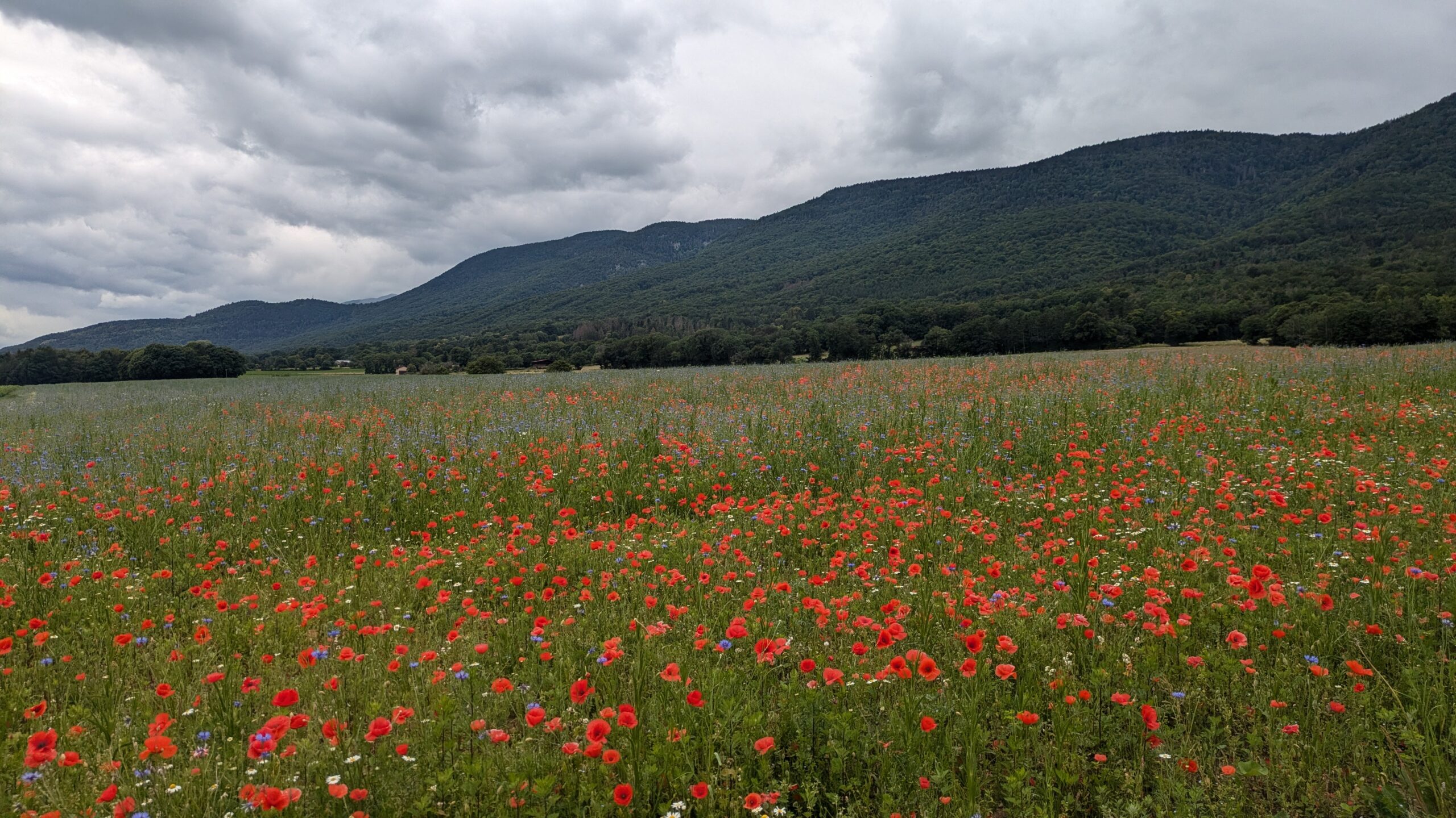
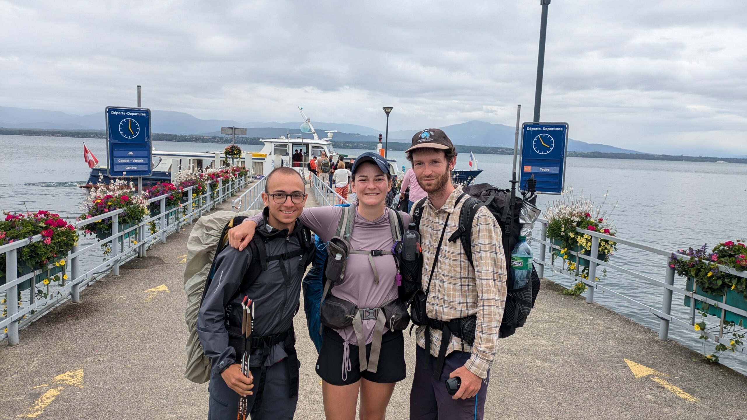
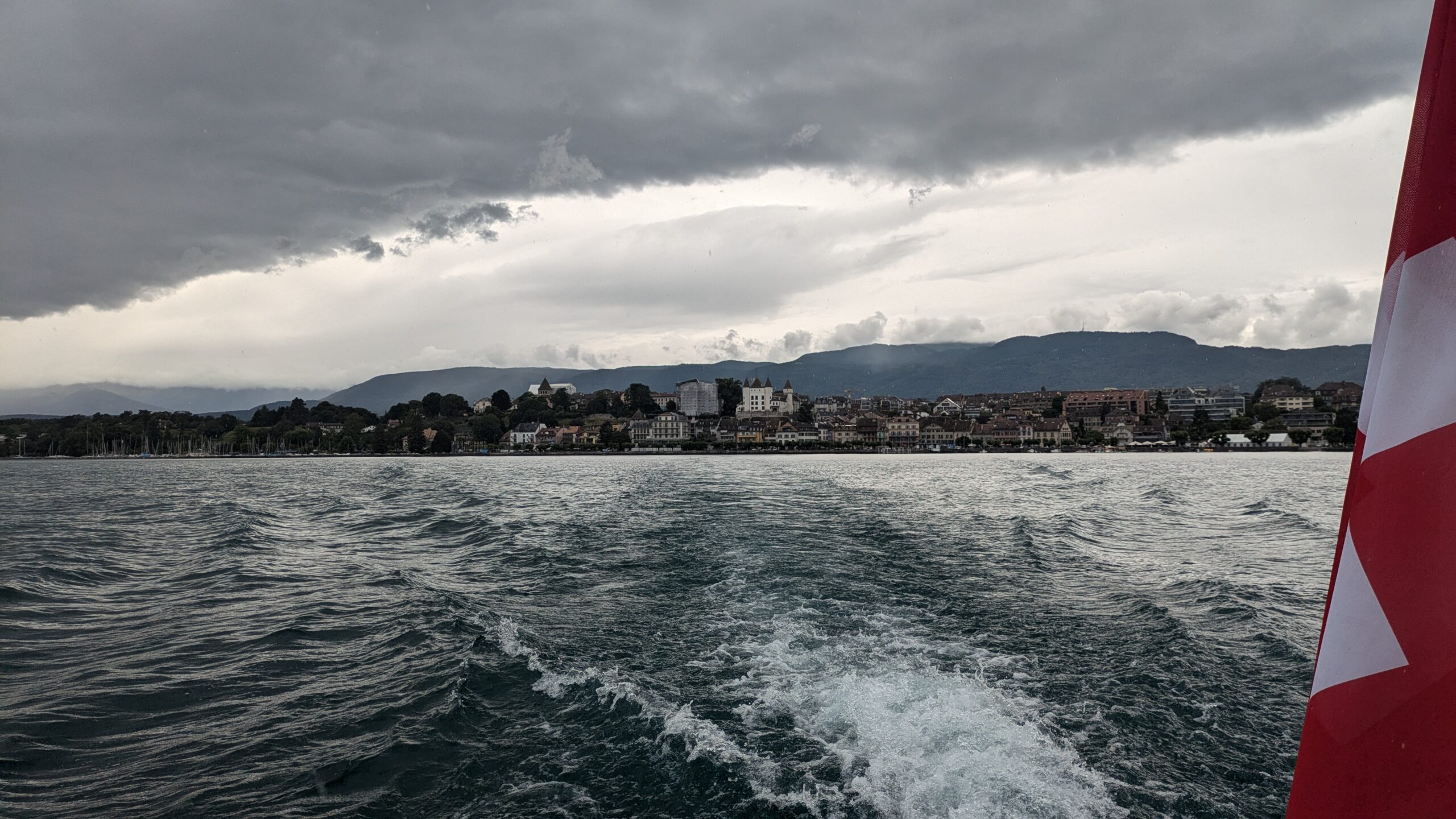
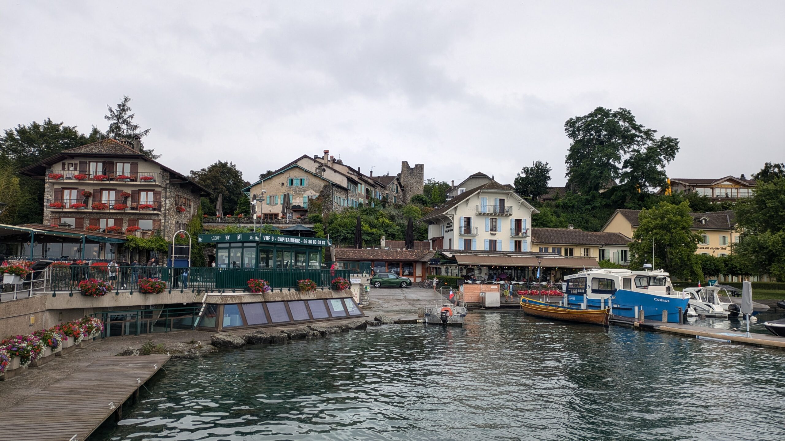
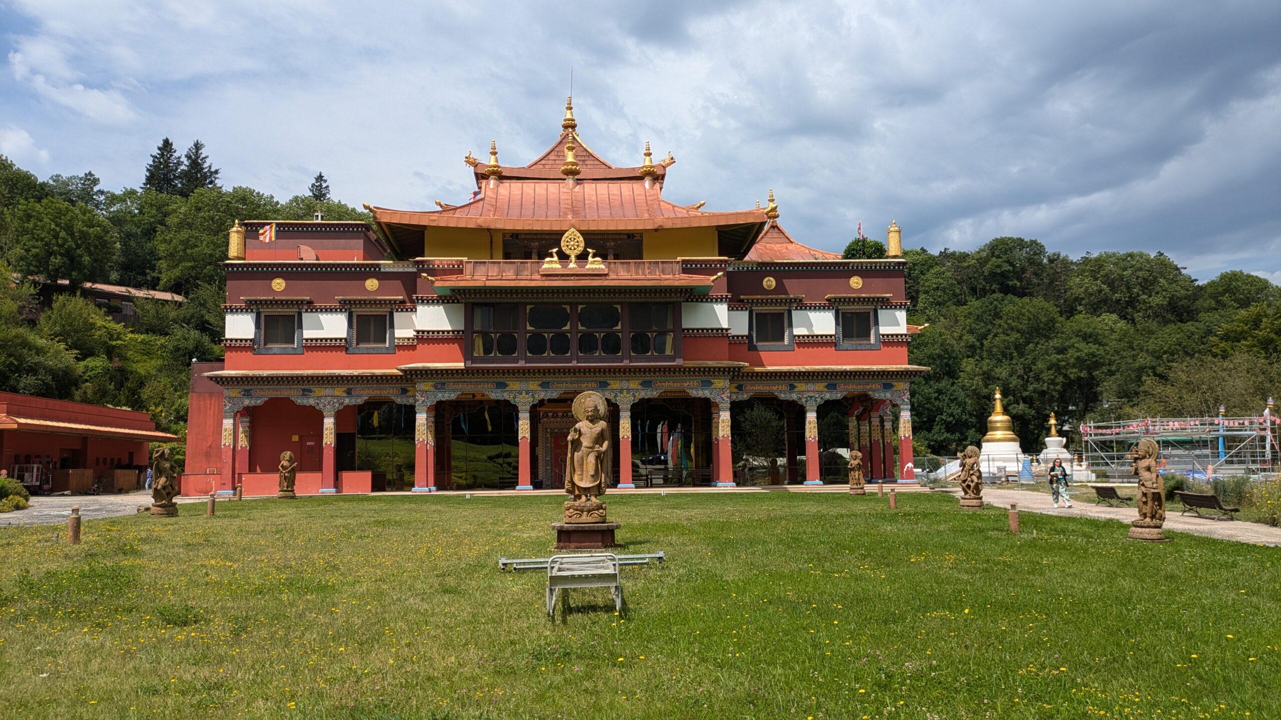
Stage 1 of the HexaTrek covers approximately 670 km and runs from Wissembourg to Nyon in Switzerland, crossing the Vosges, the Doubs, and the Jura. With a total elevation gain of around 21,000 meters, it offers spectacular panoramas, passing through forests, ridgelines, and charming small villages. This route is a true concentration of nature and heritage, ideal for hikers eager for varied landscapes and cultural discovery.
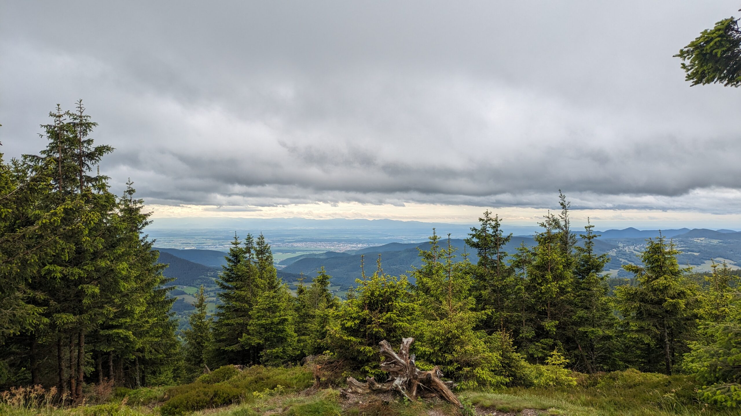
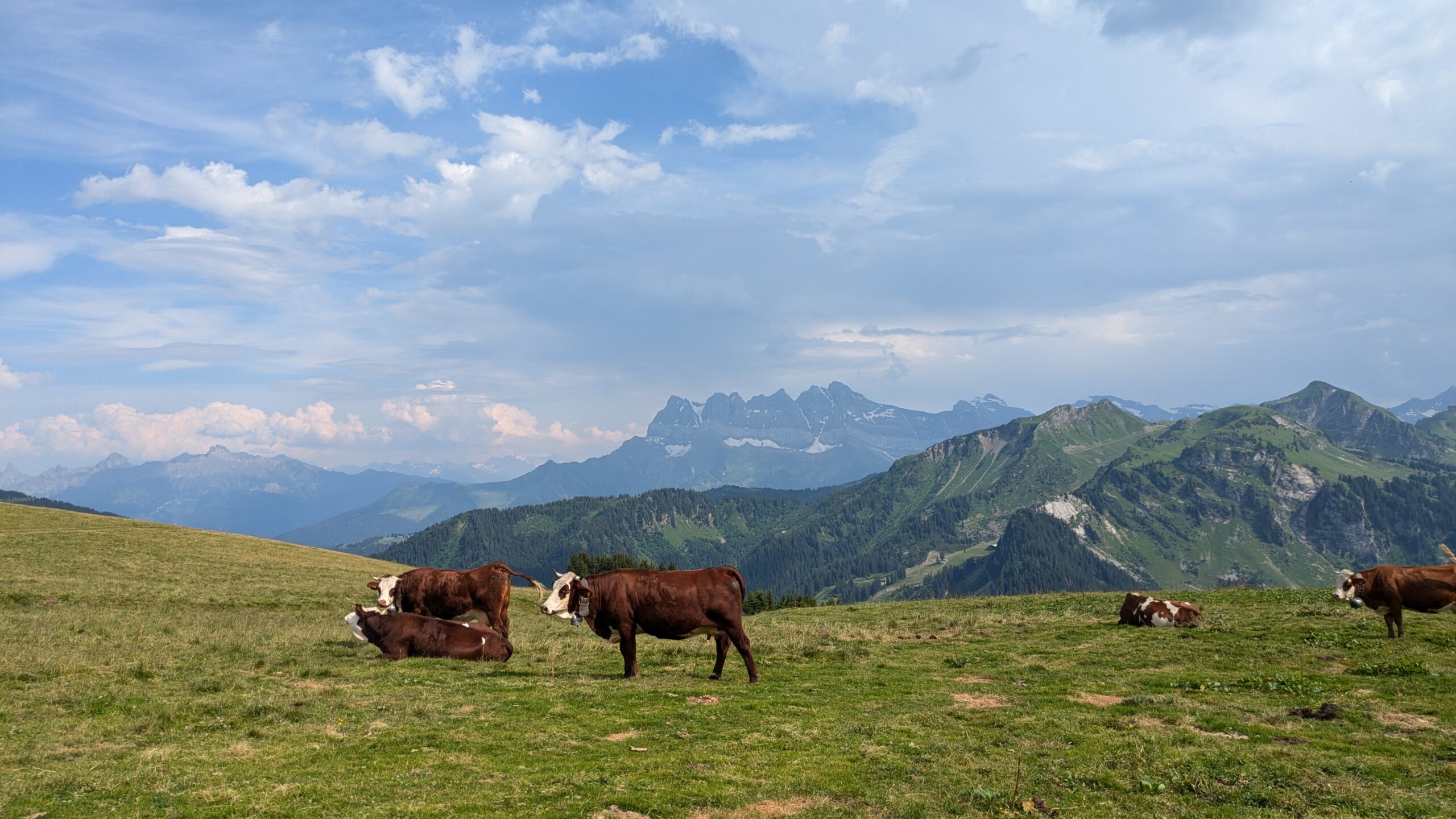
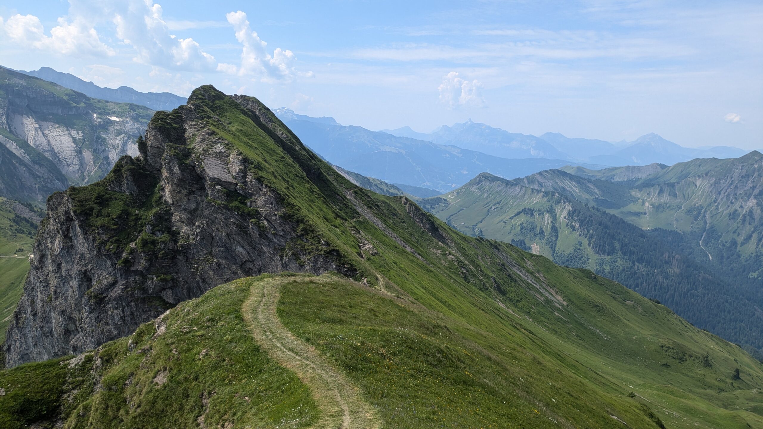
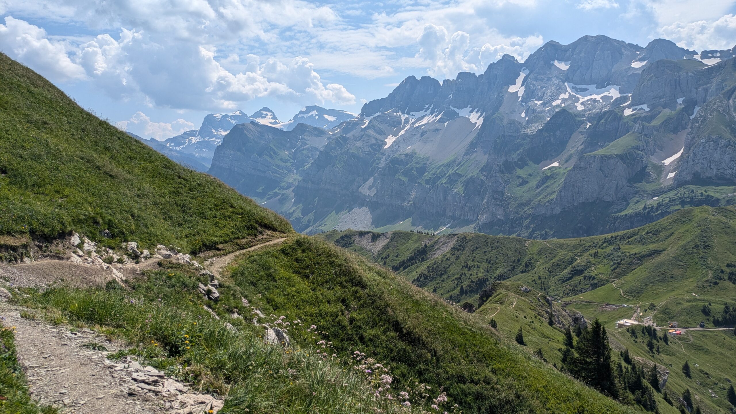
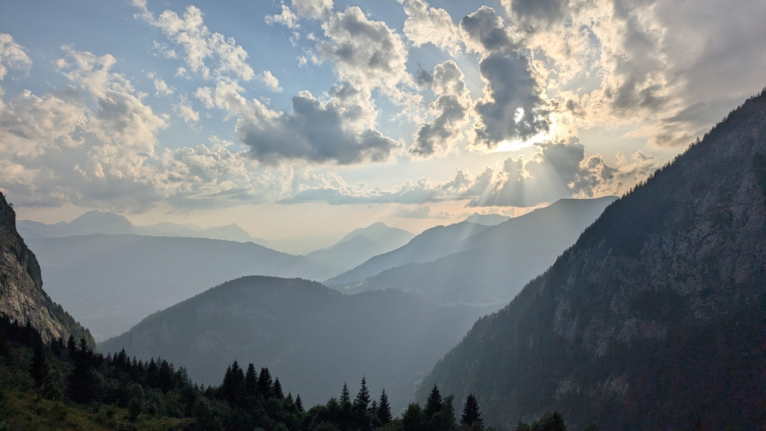
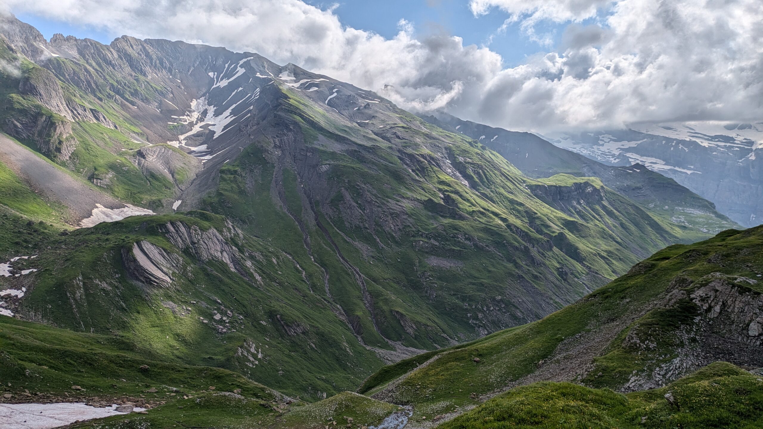
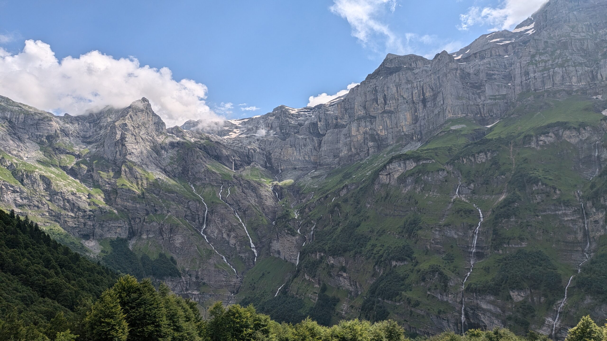
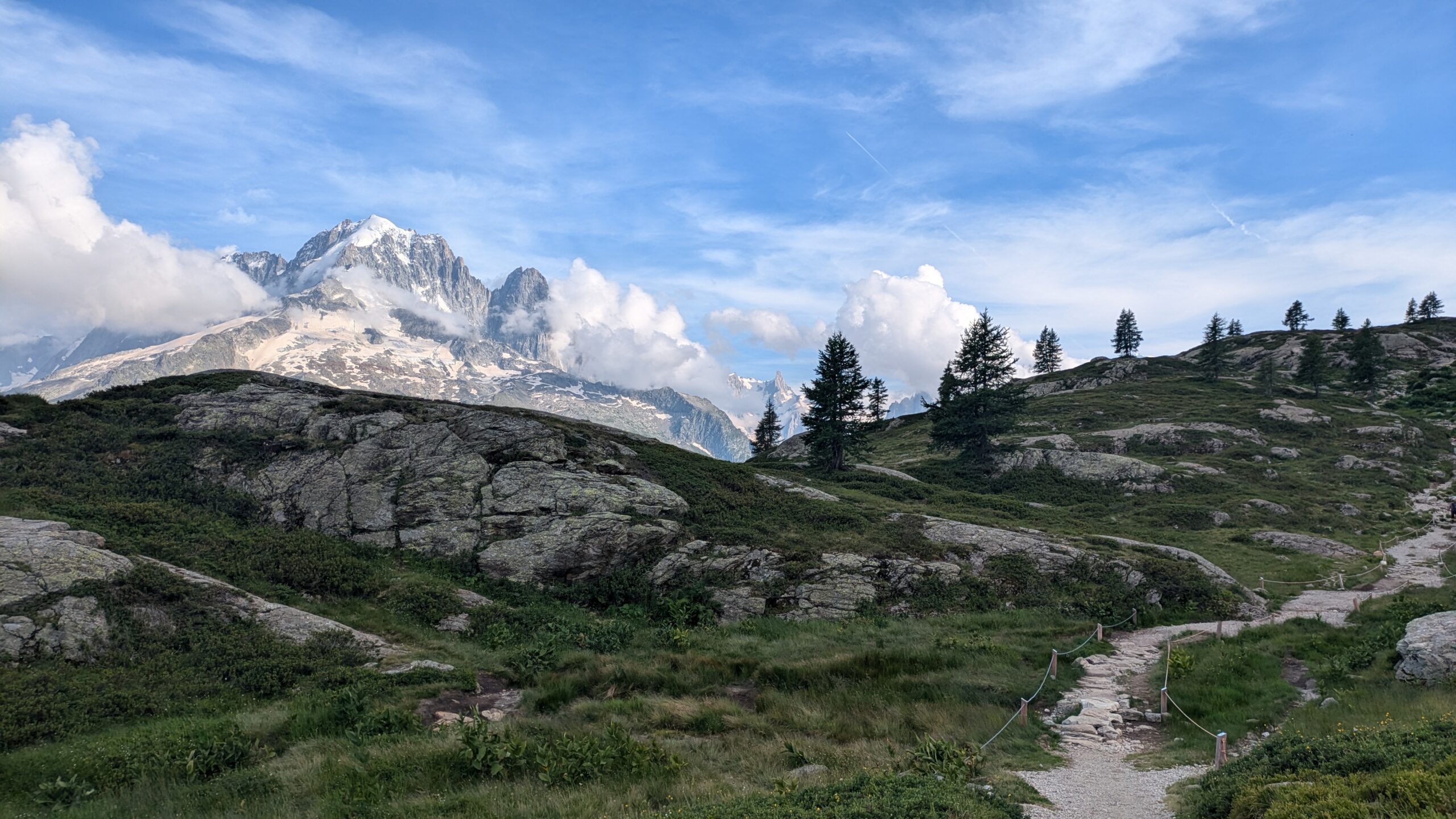
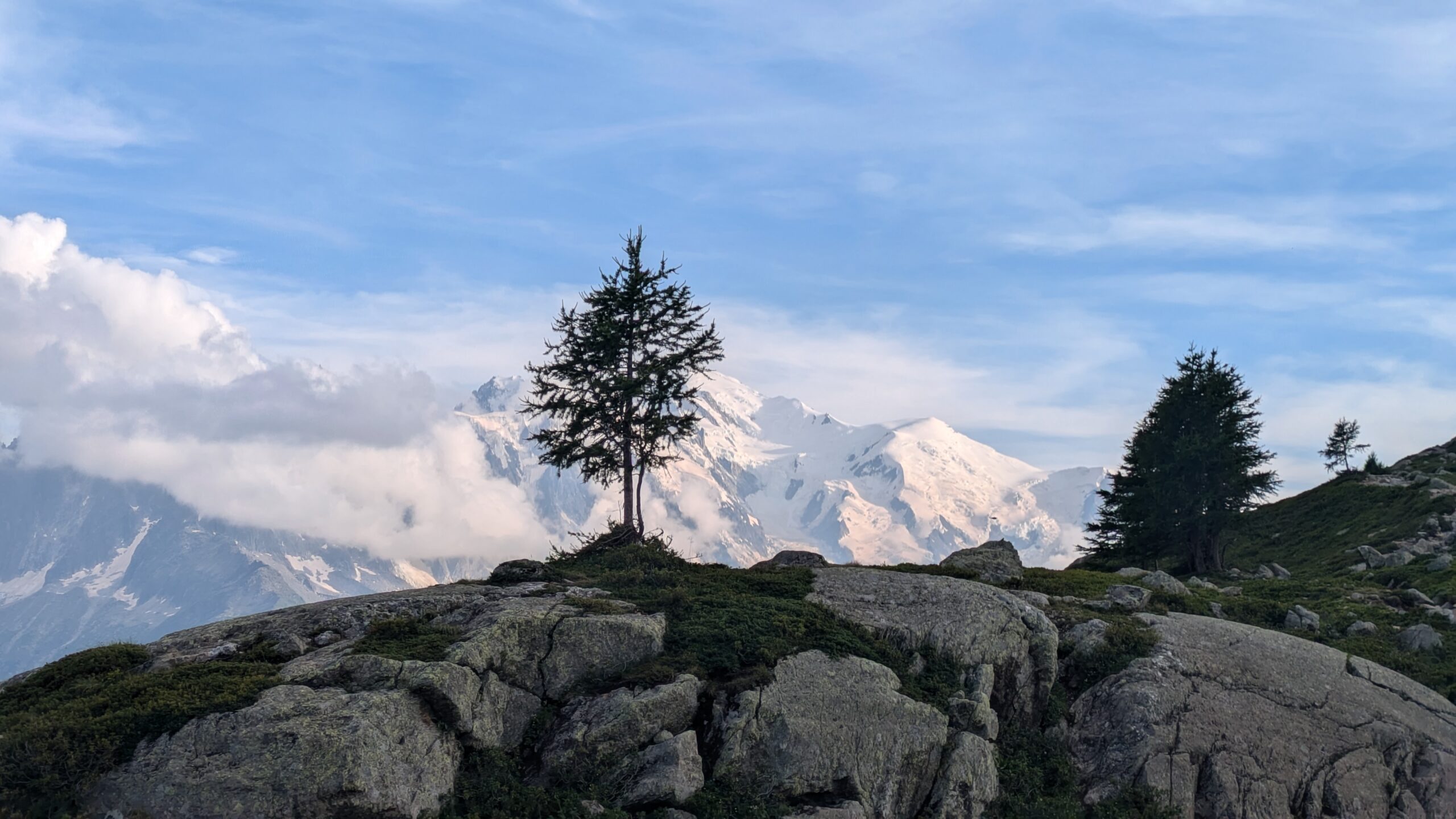
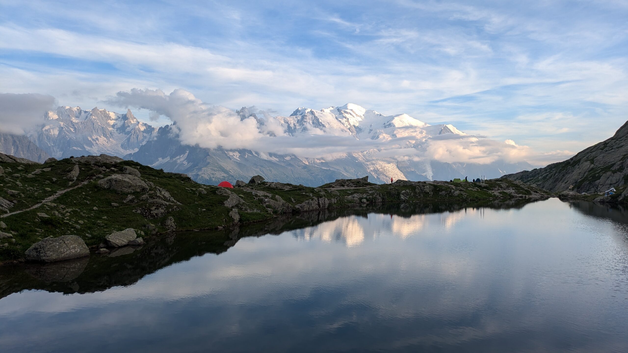
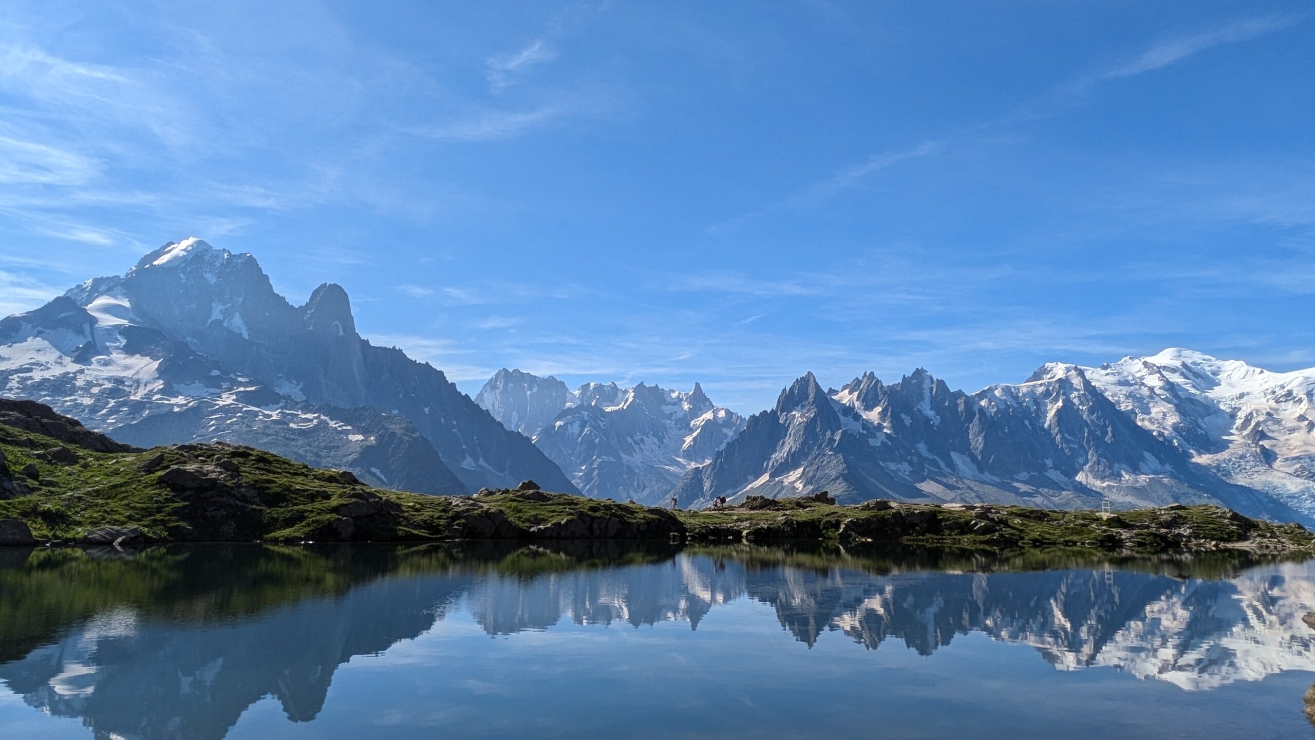
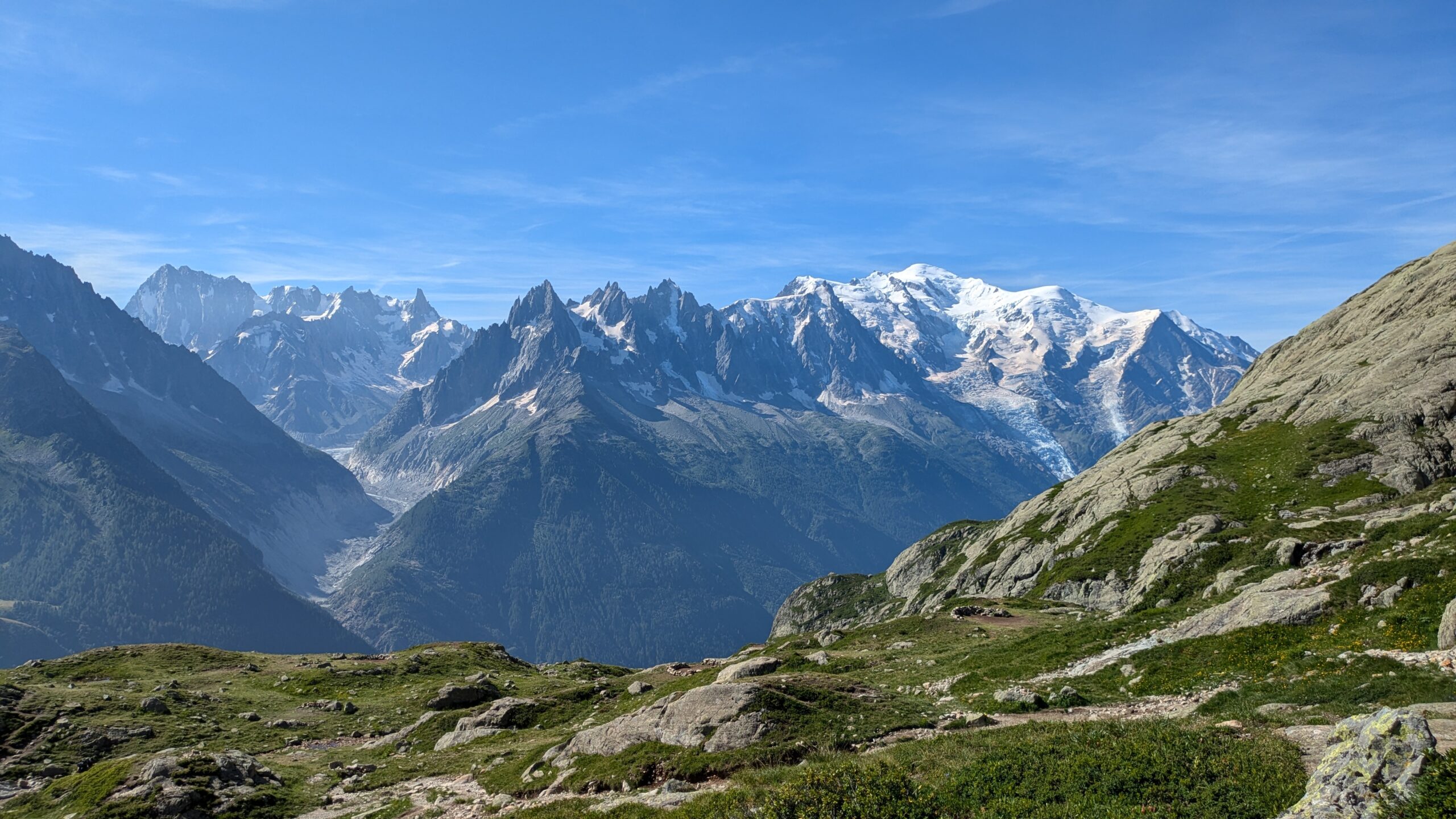
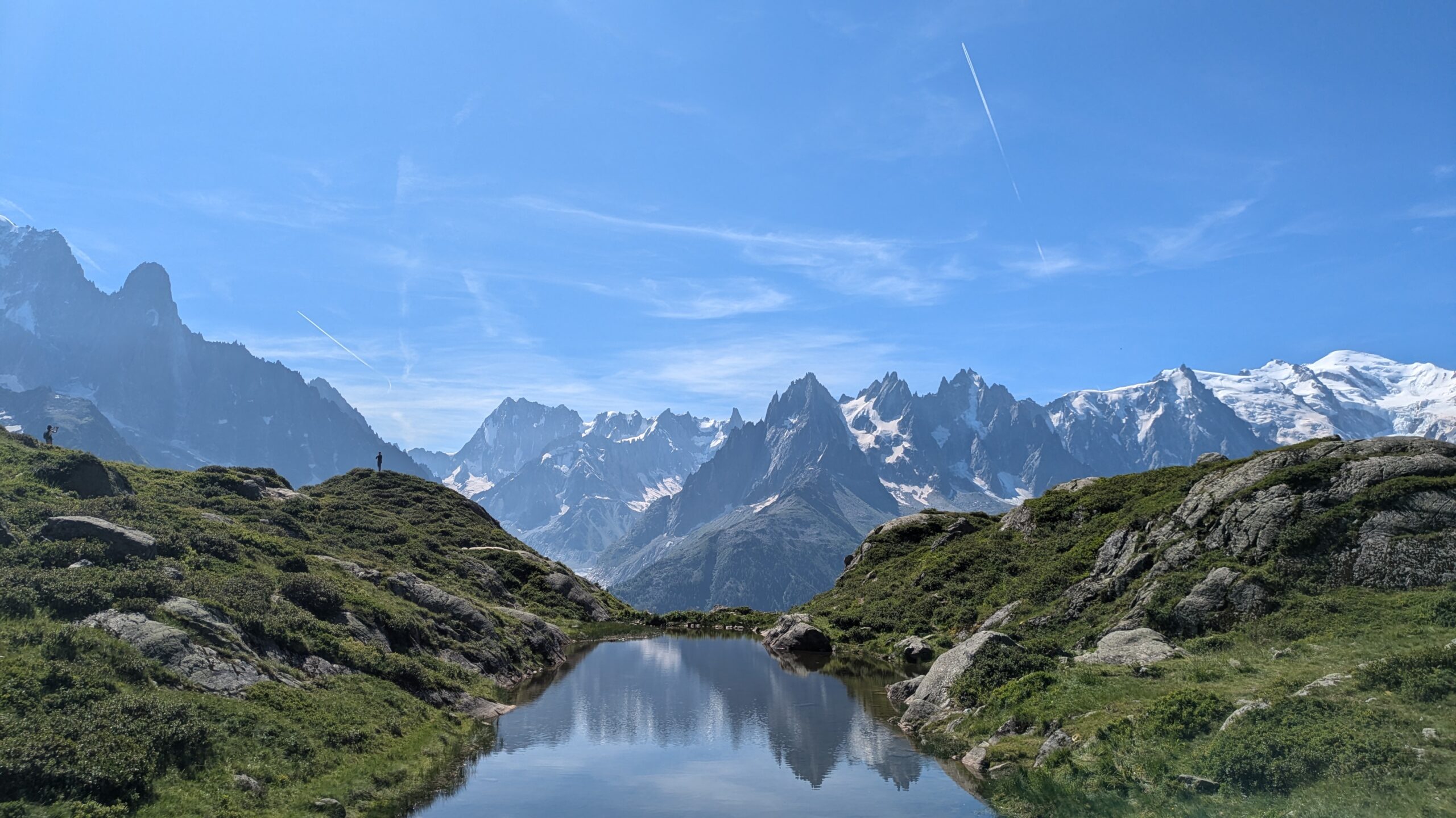
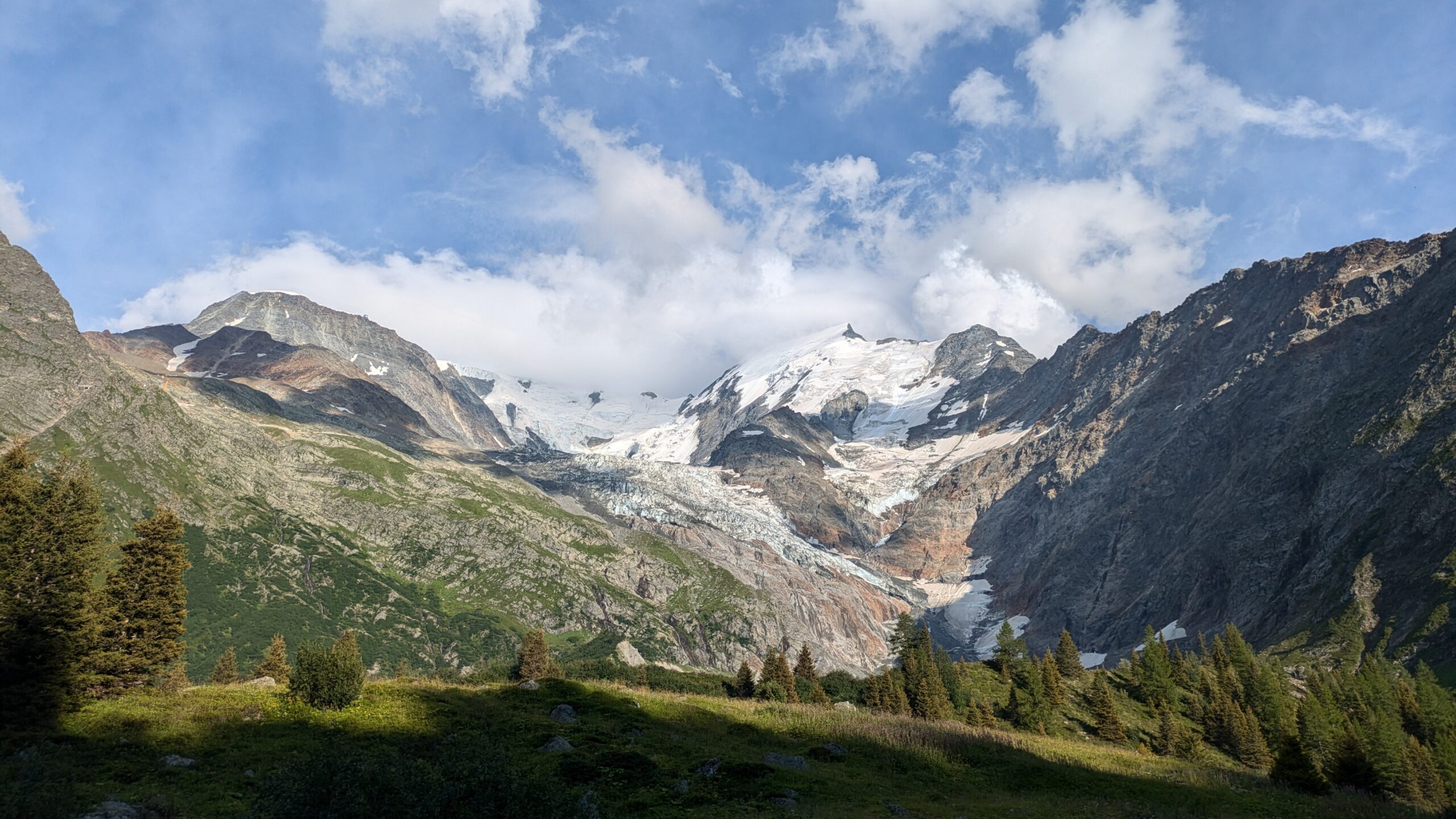
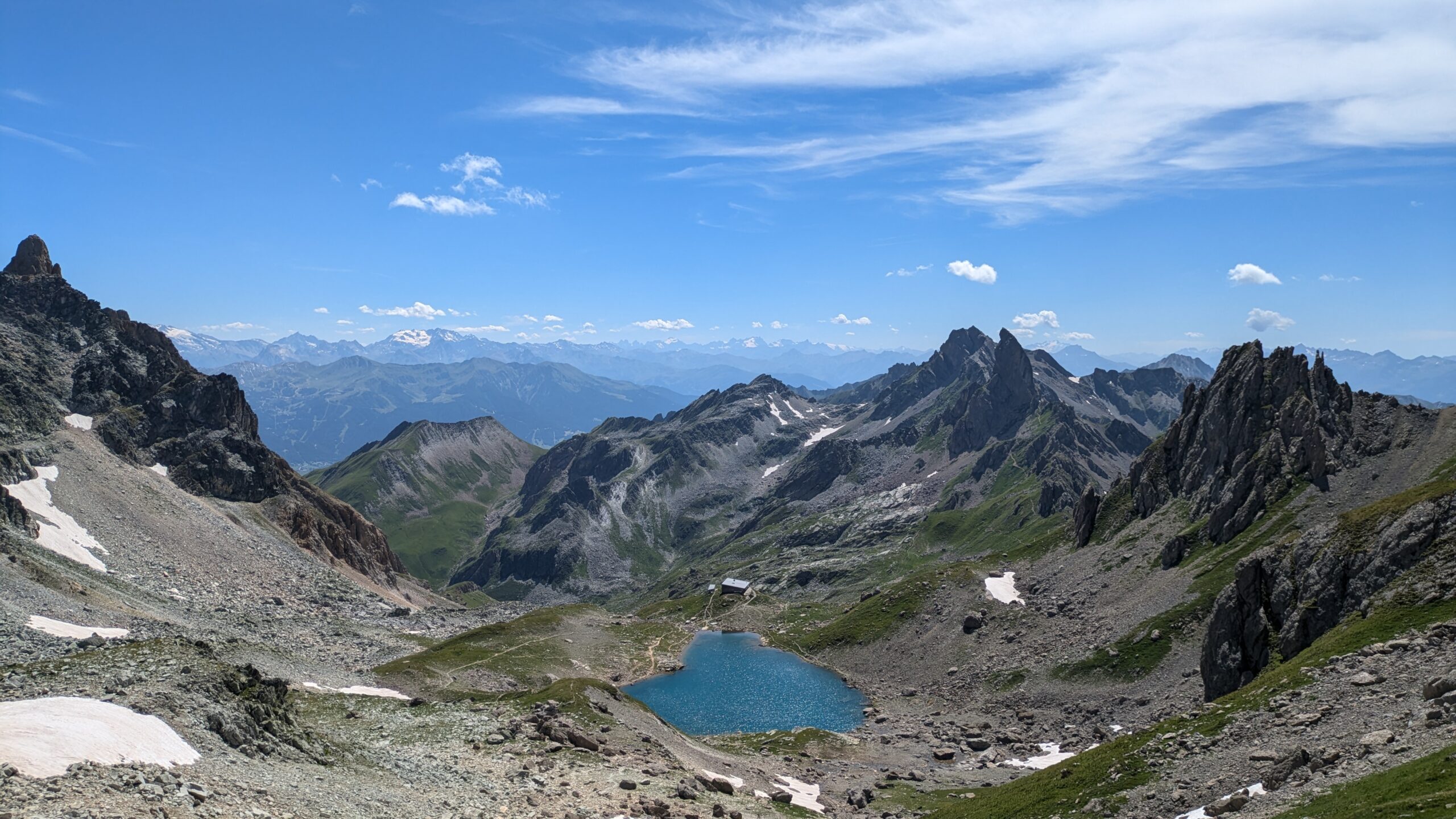
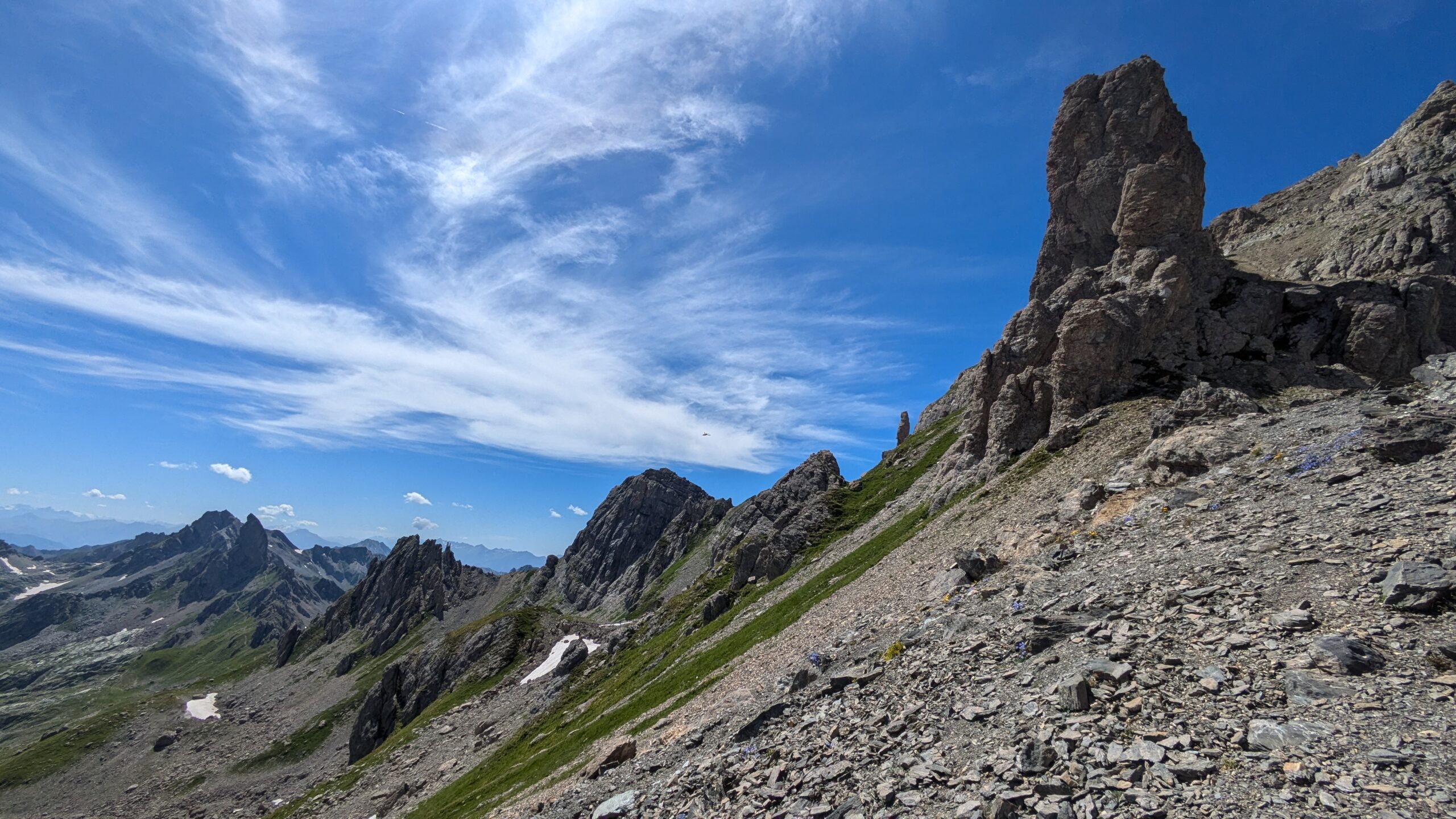
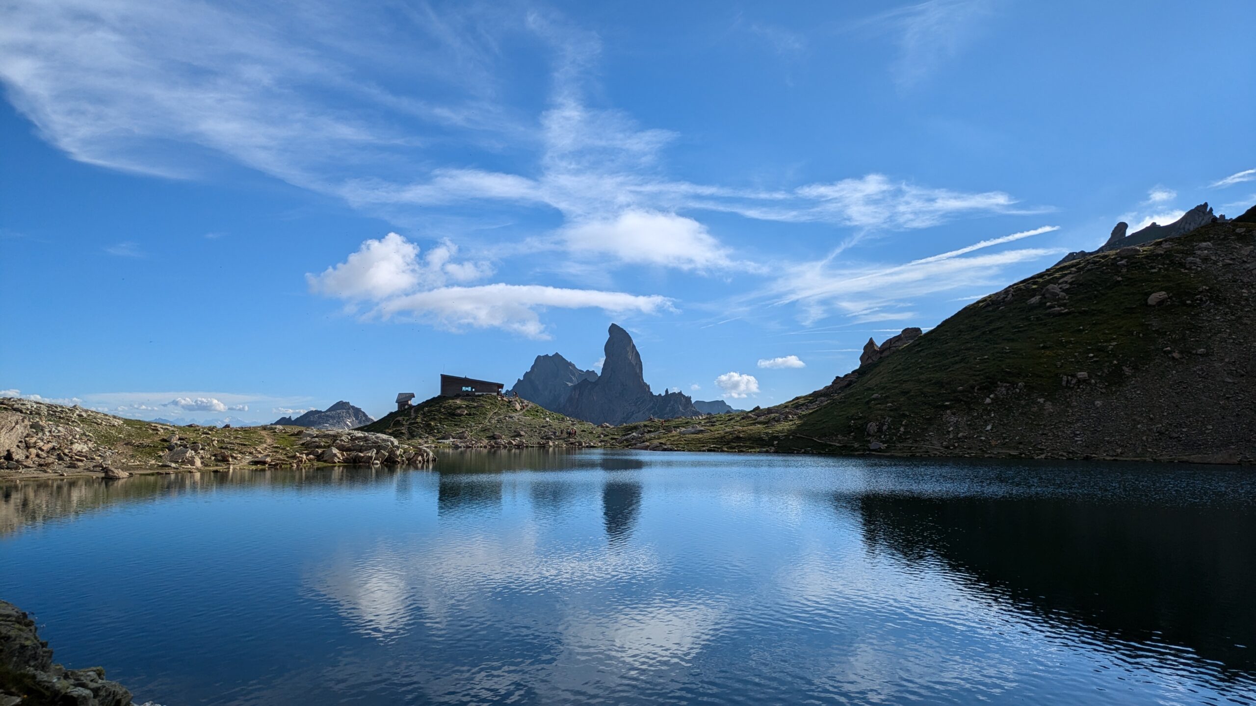
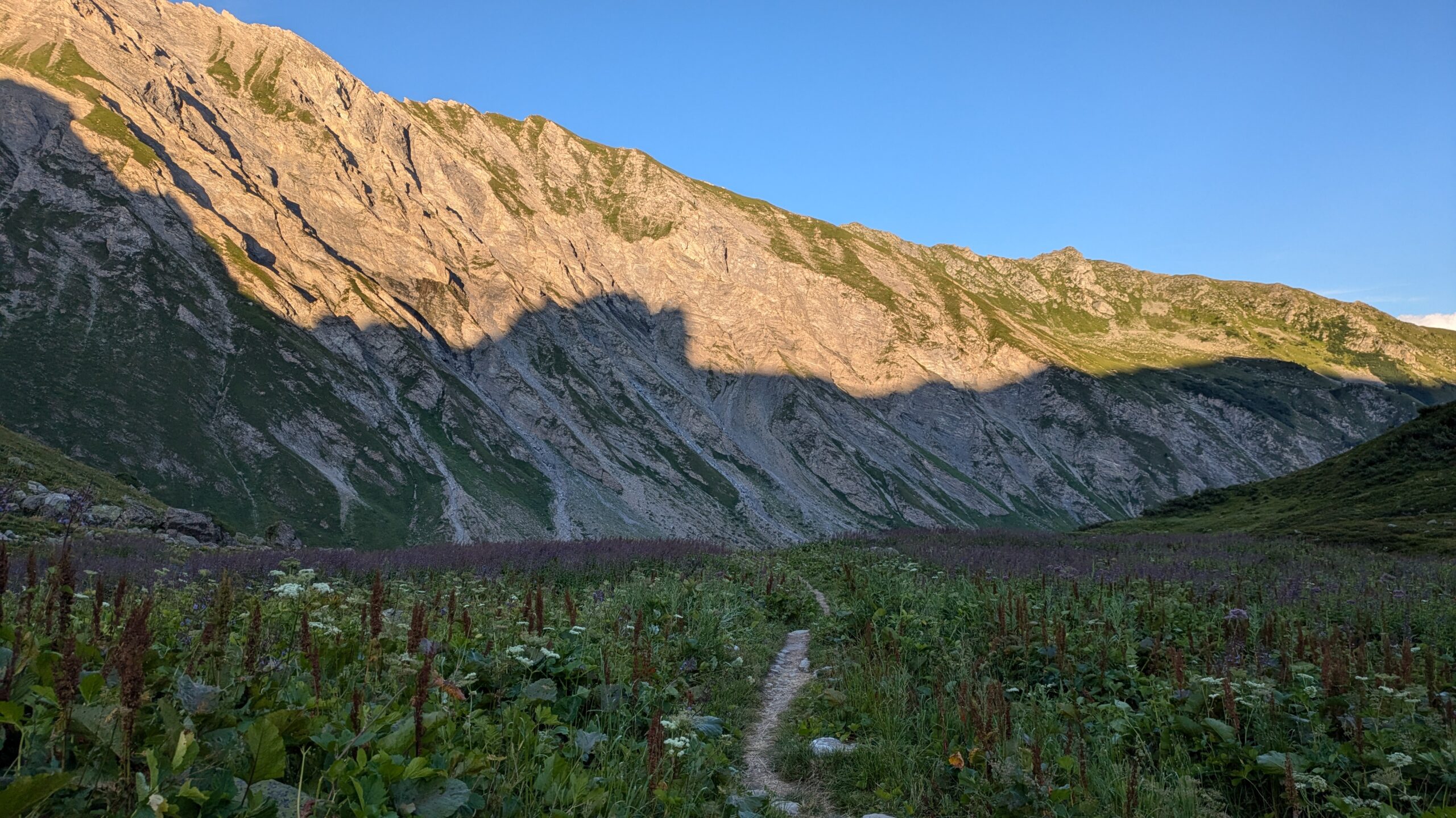
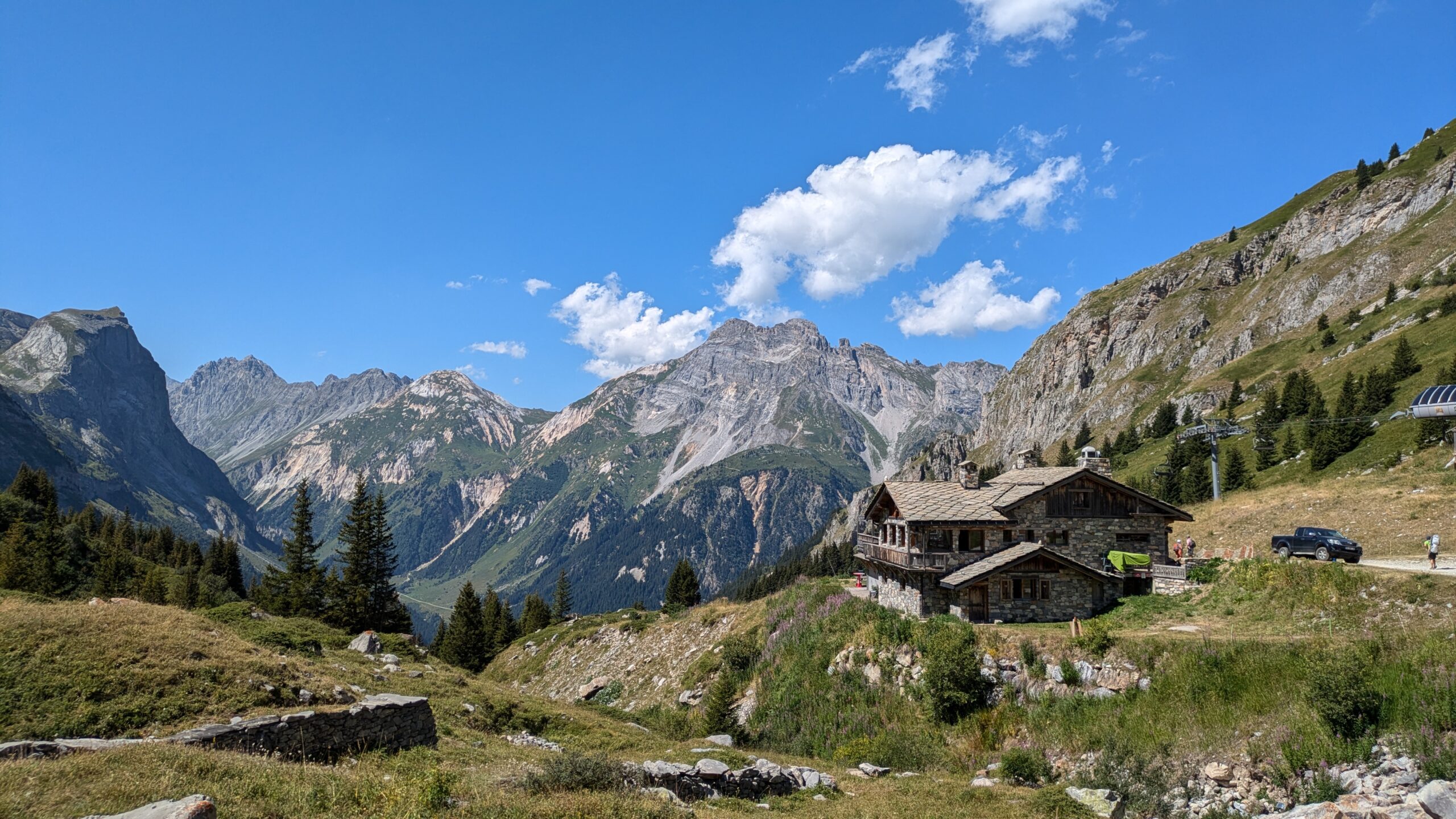
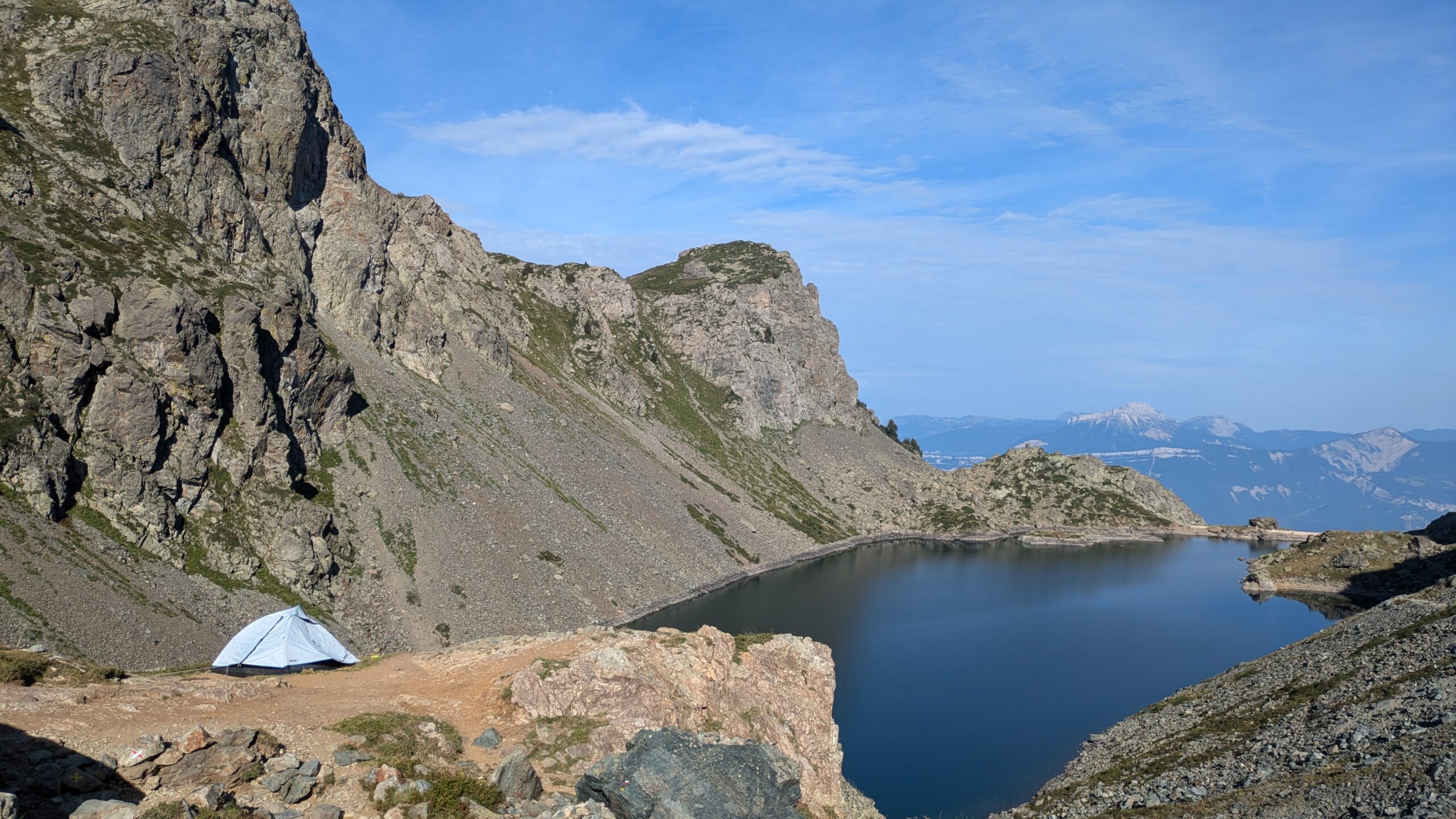
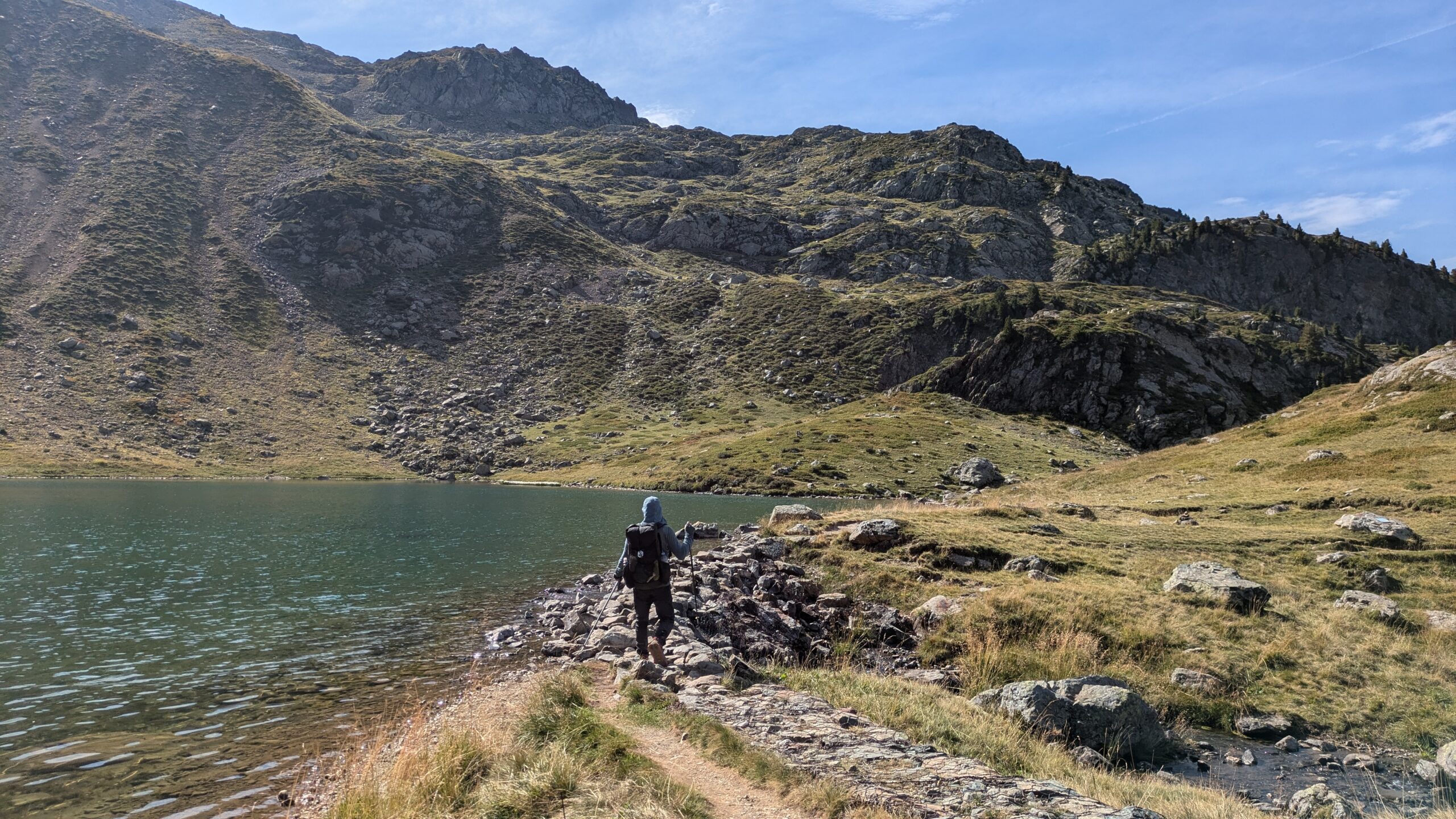
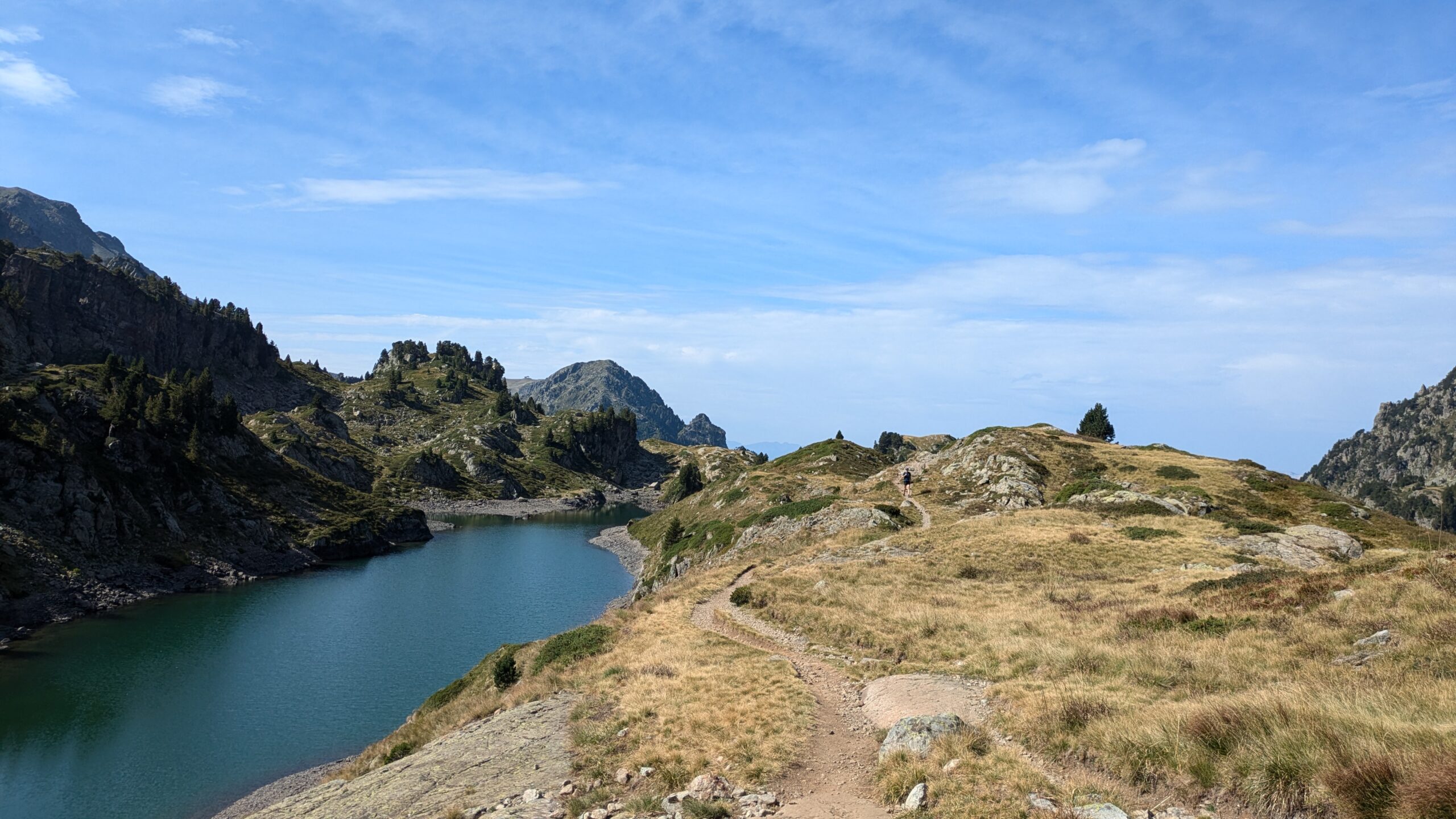
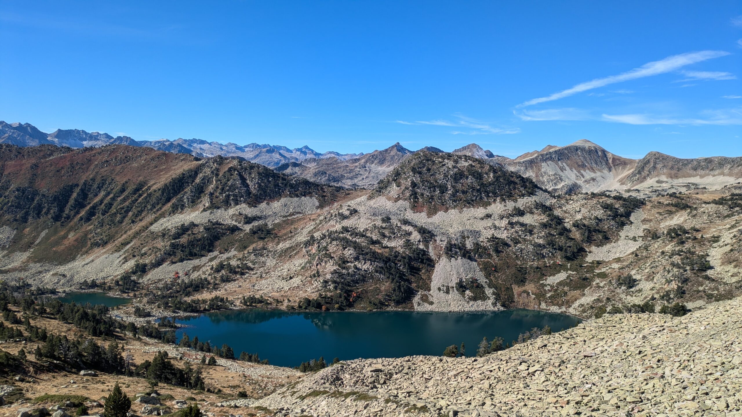
Stage 2: Northern Alps
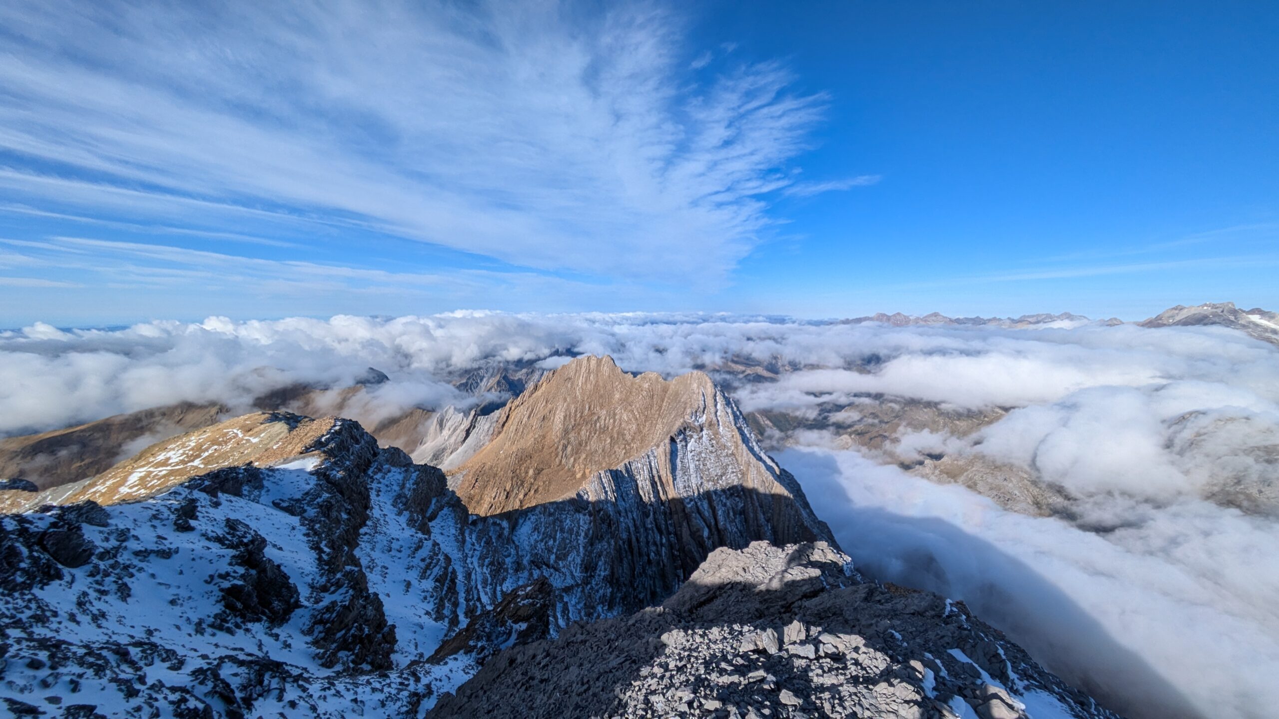
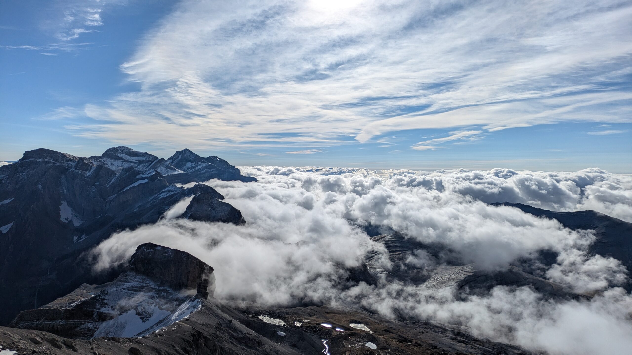
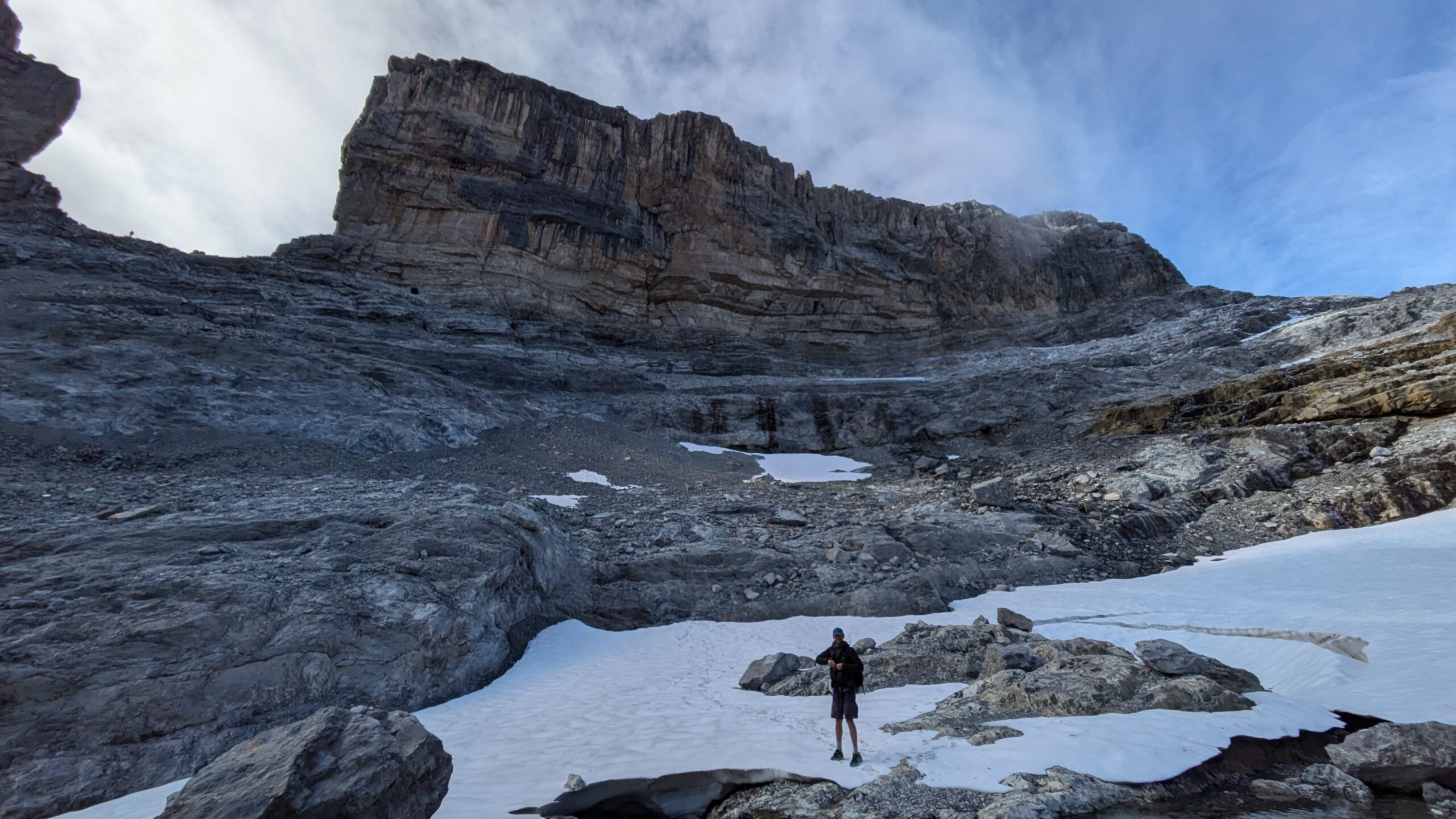
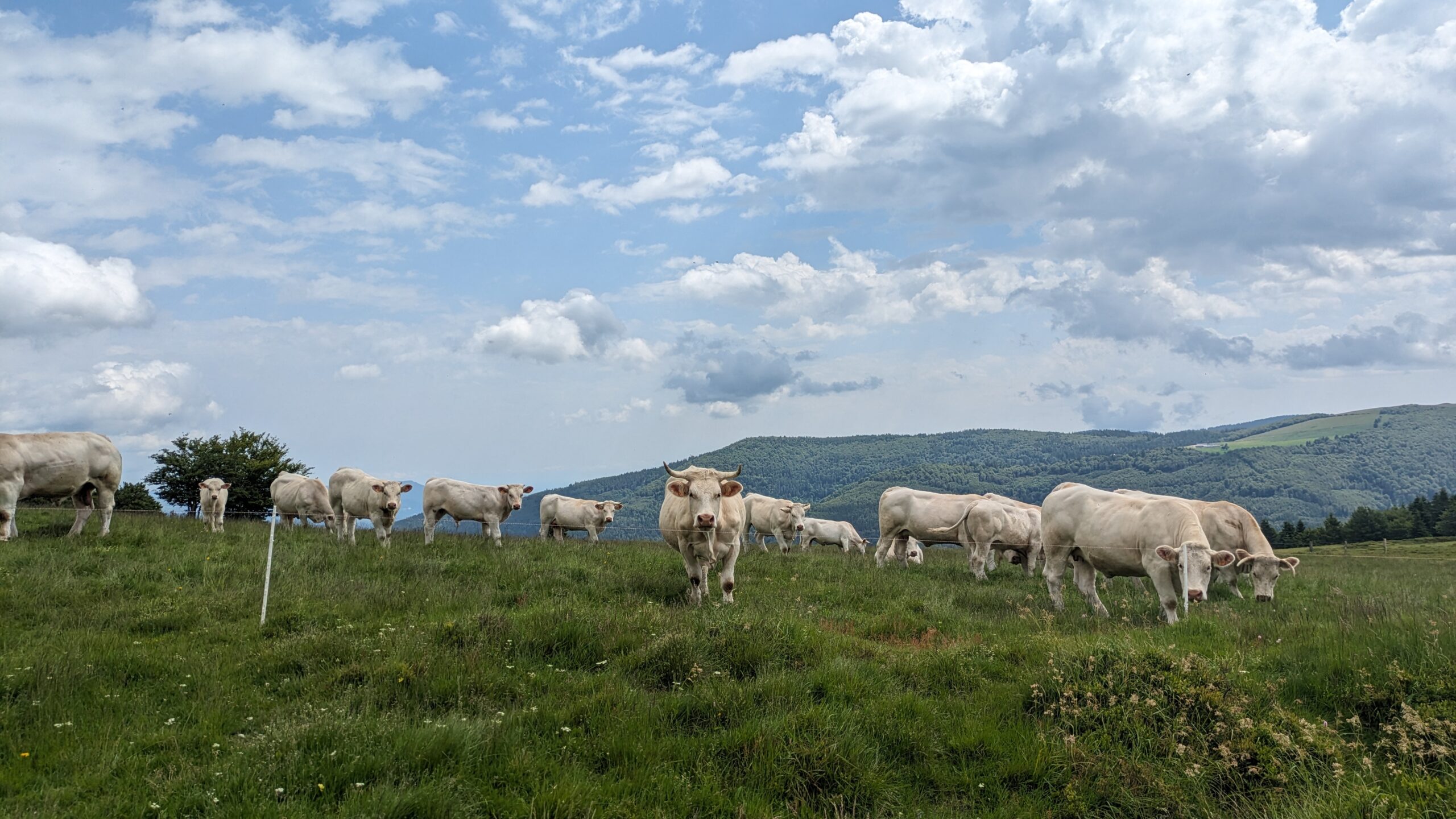
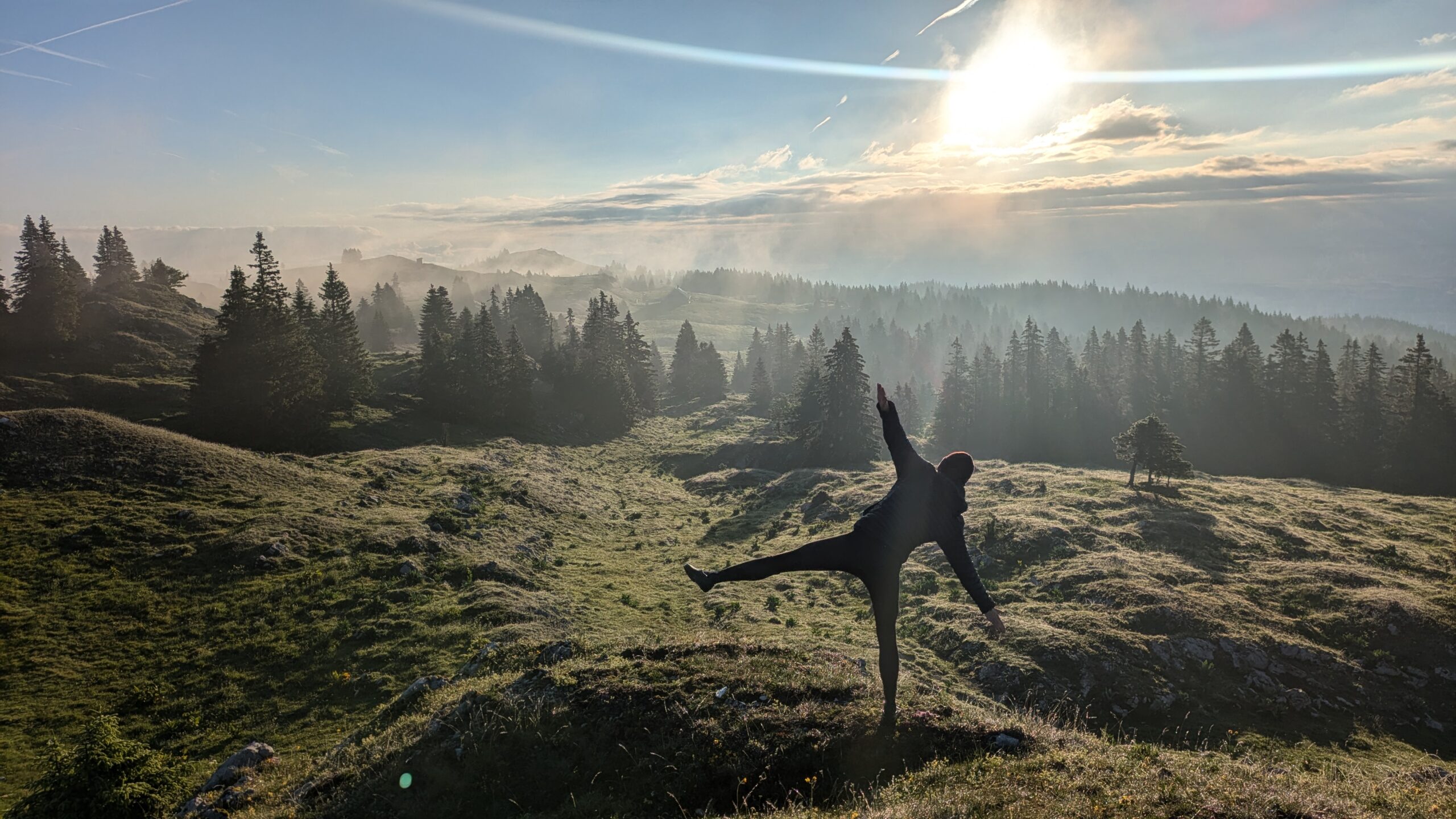
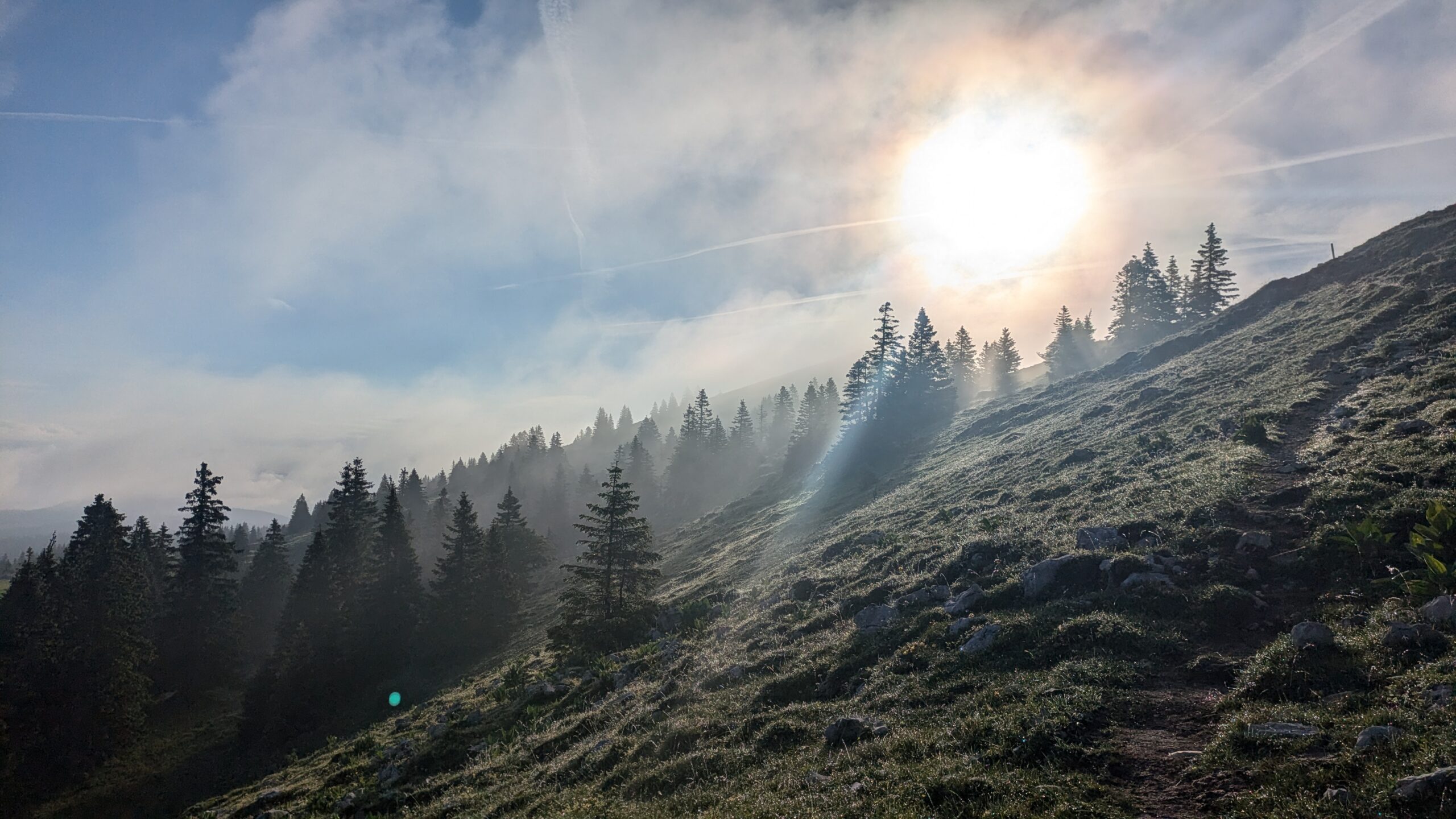
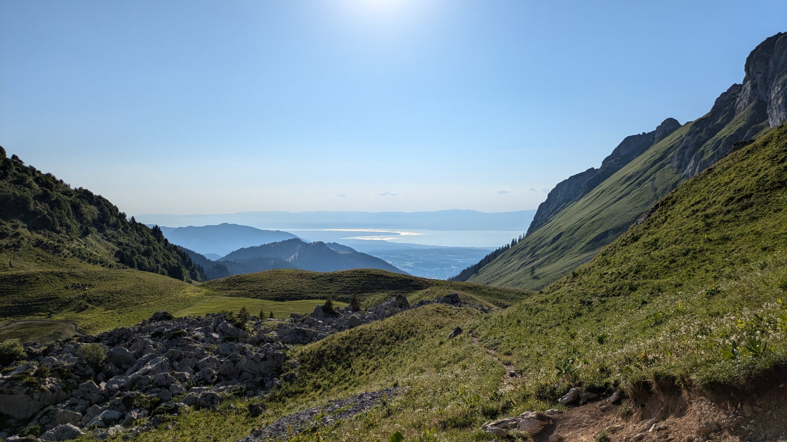
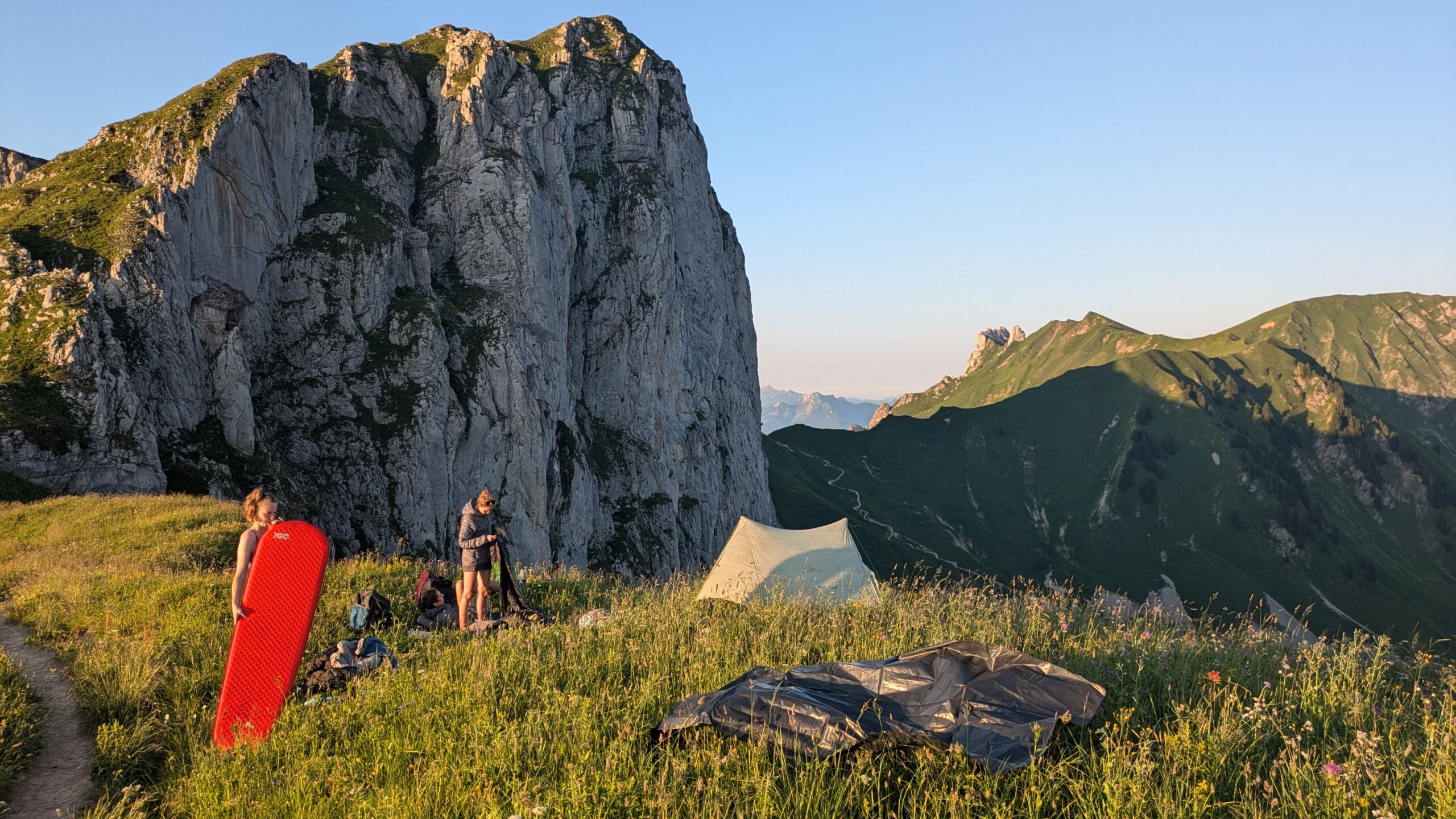
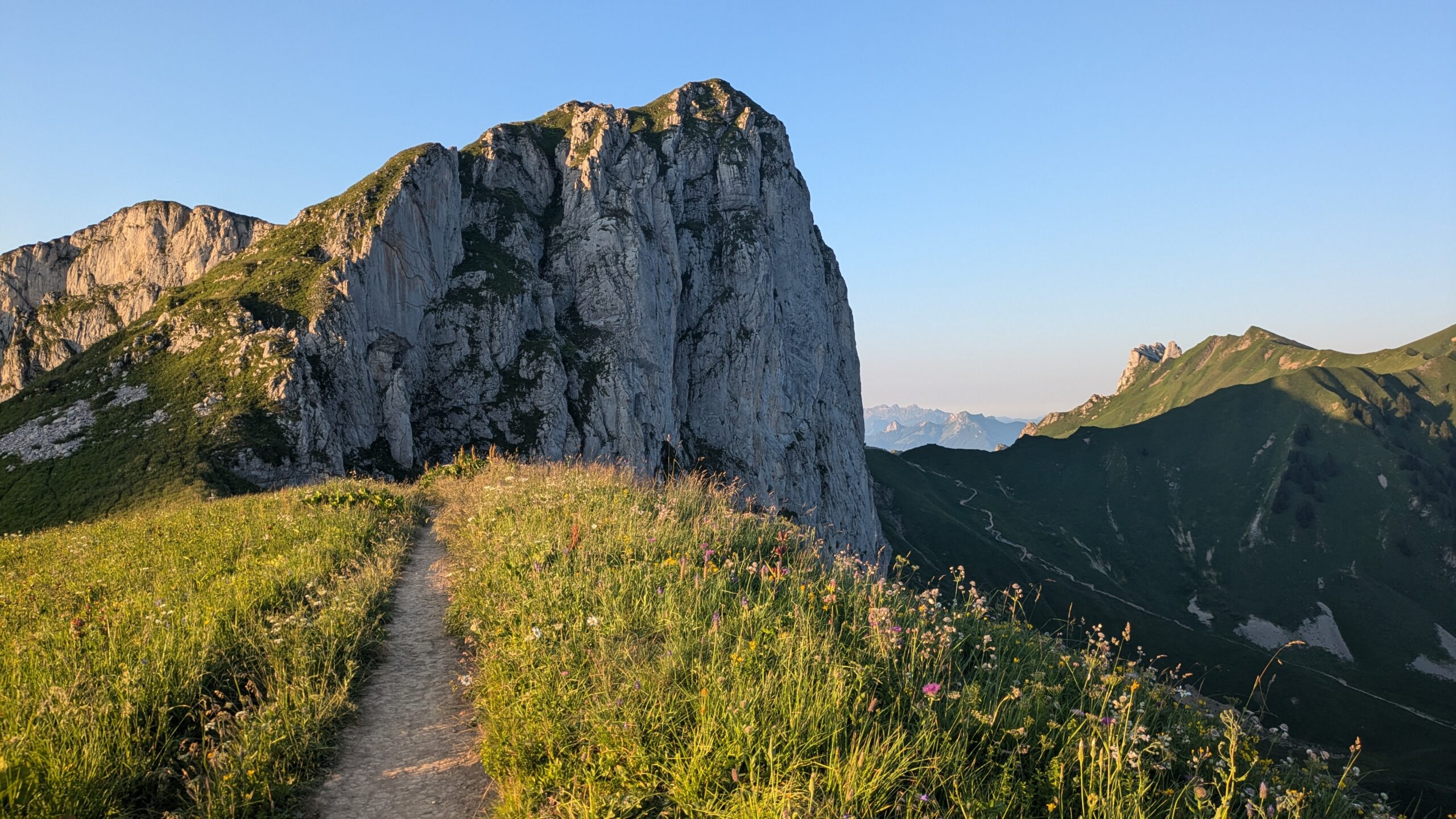
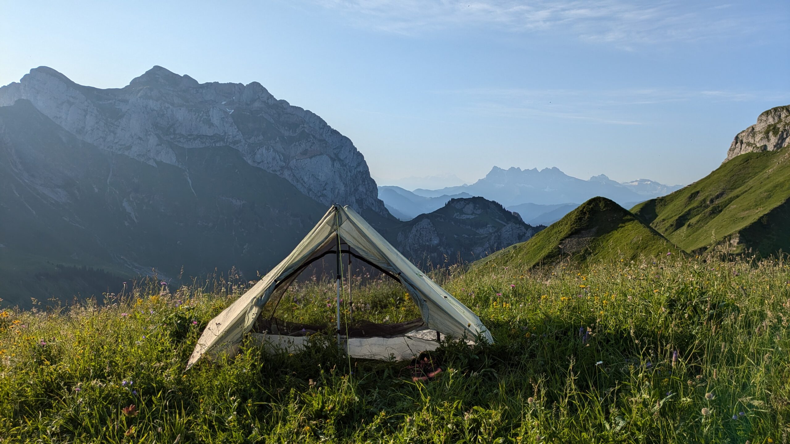
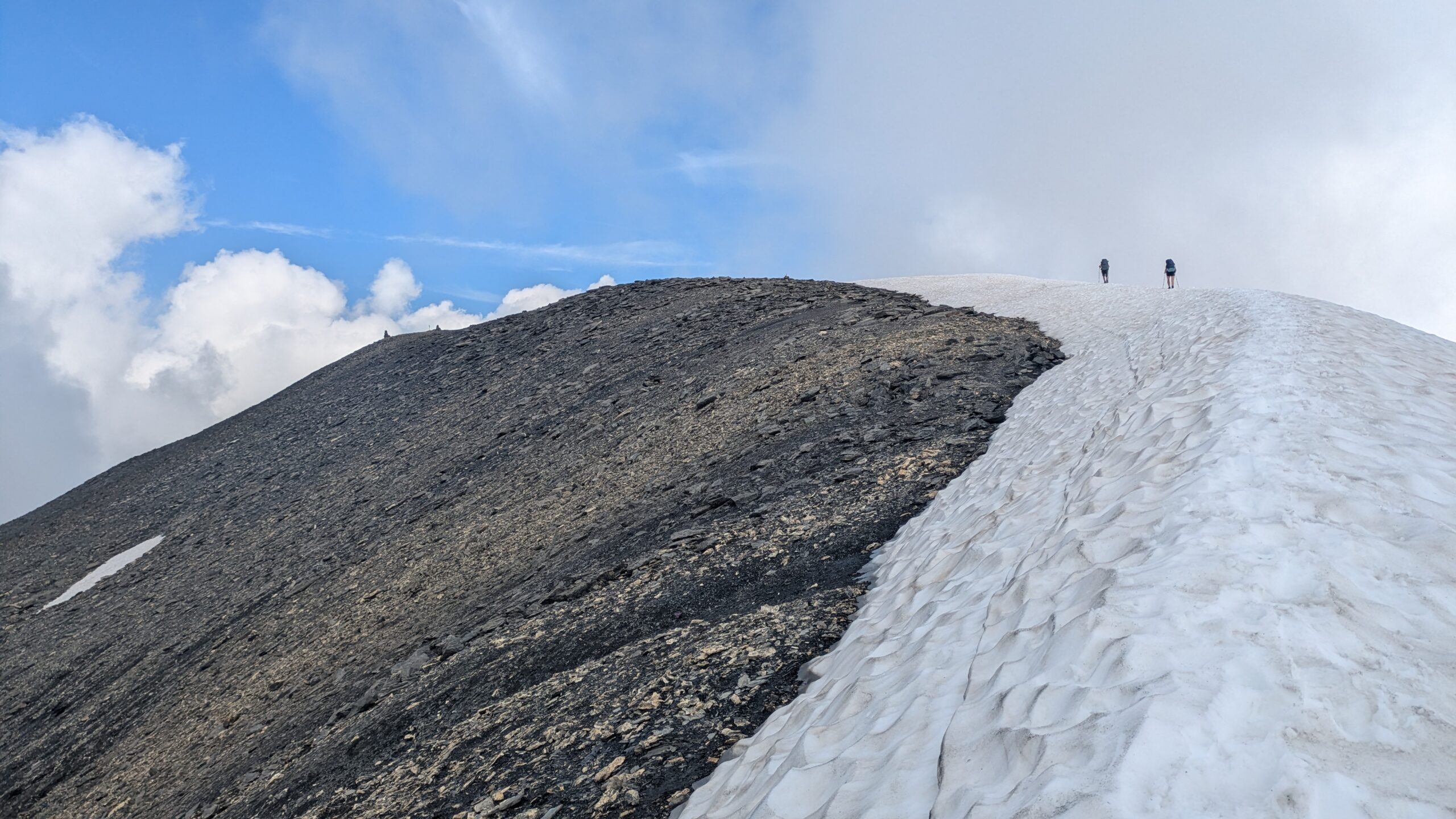
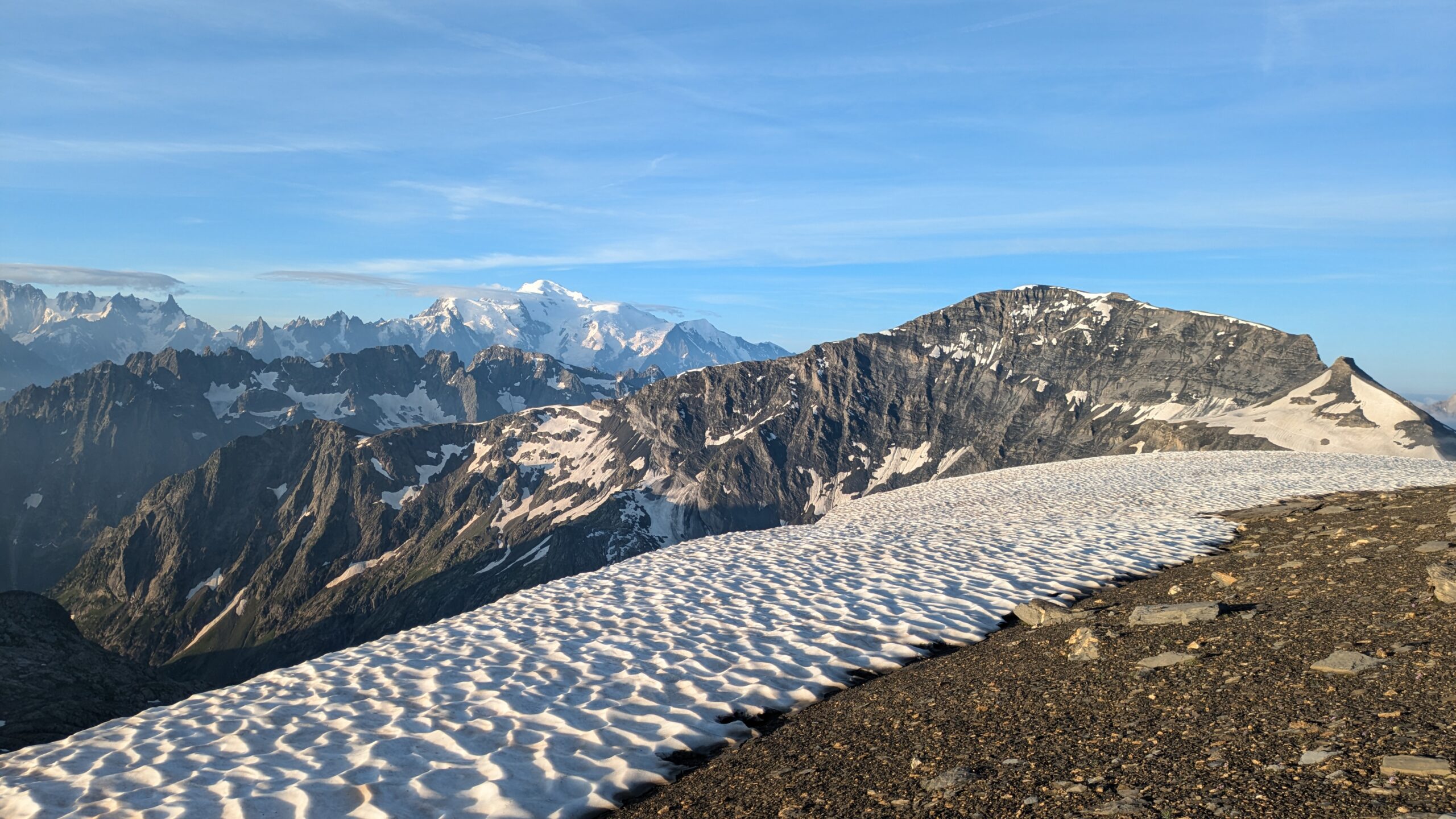
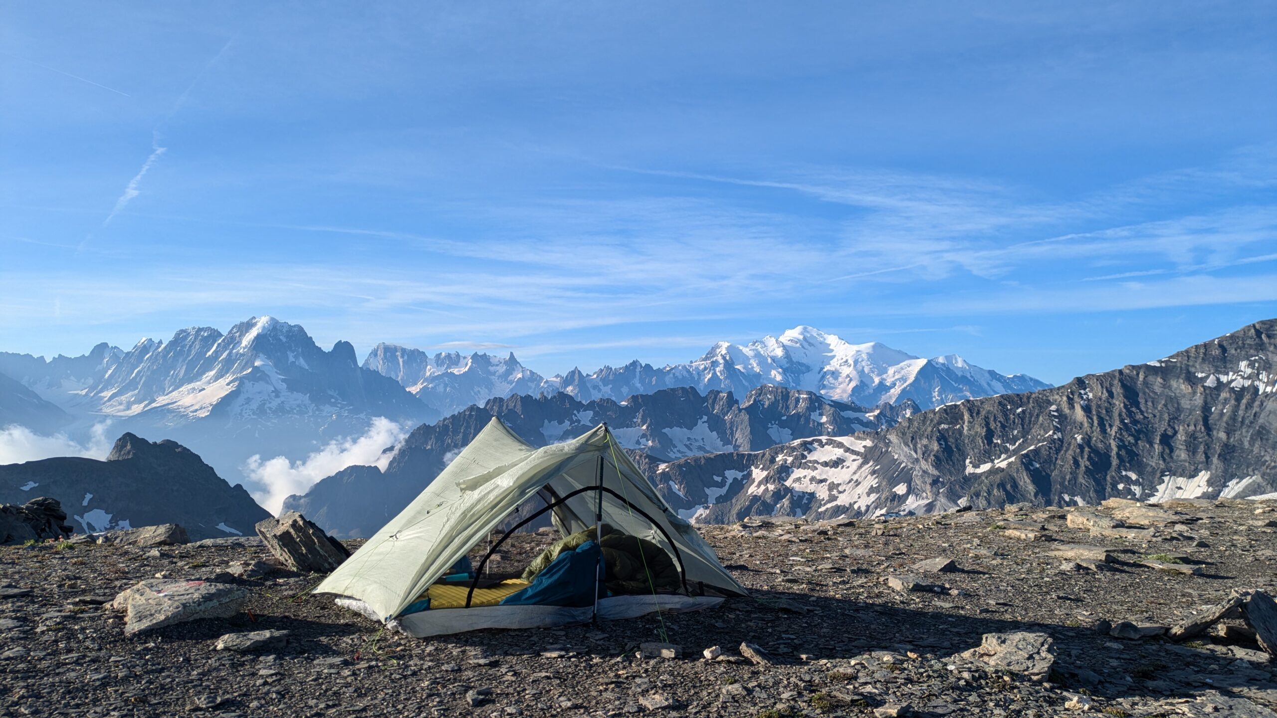
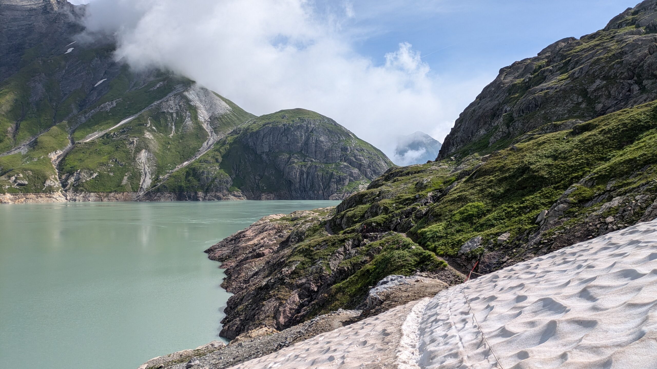
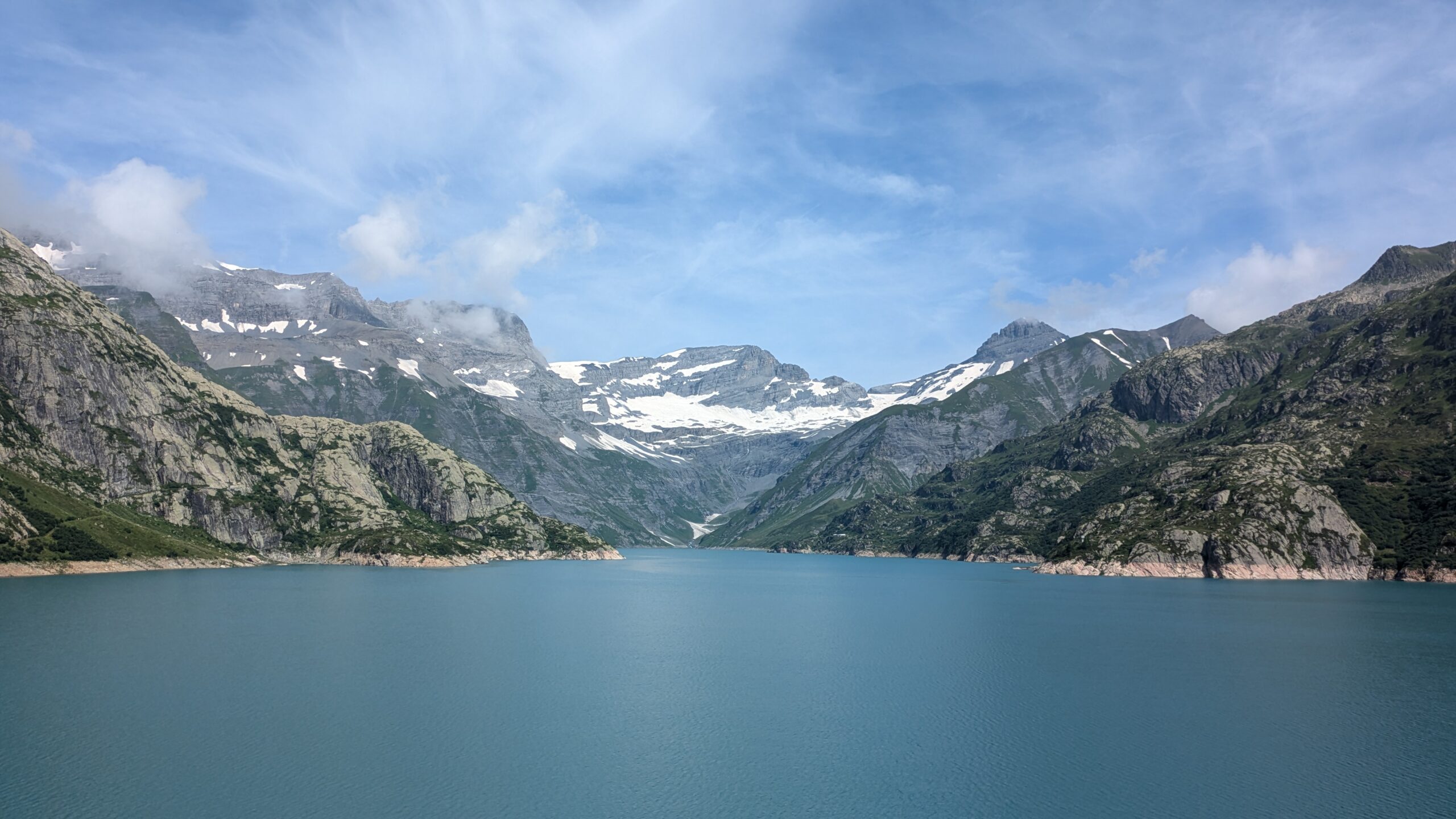
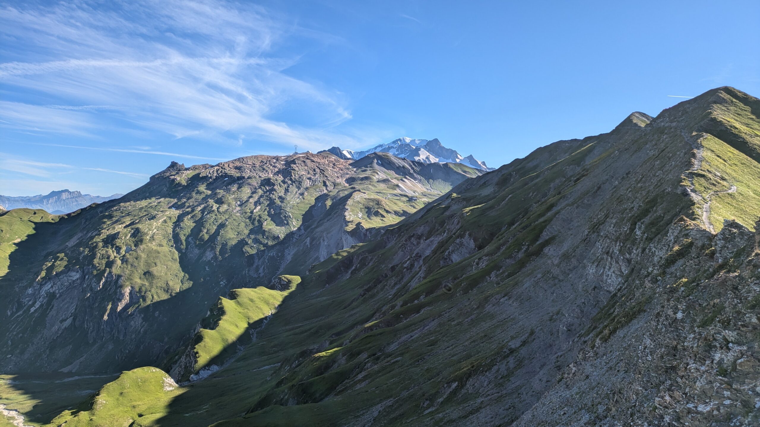
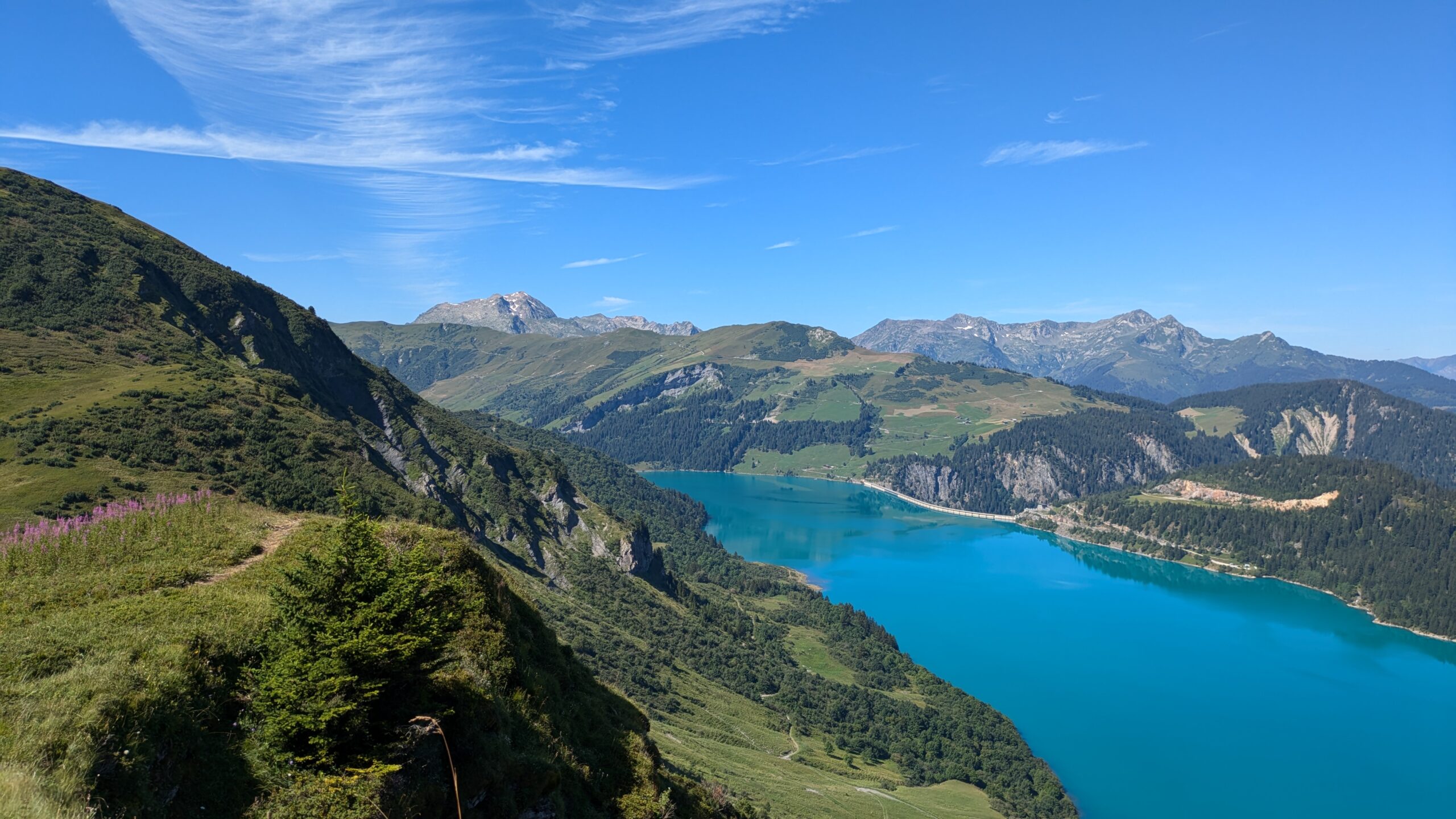
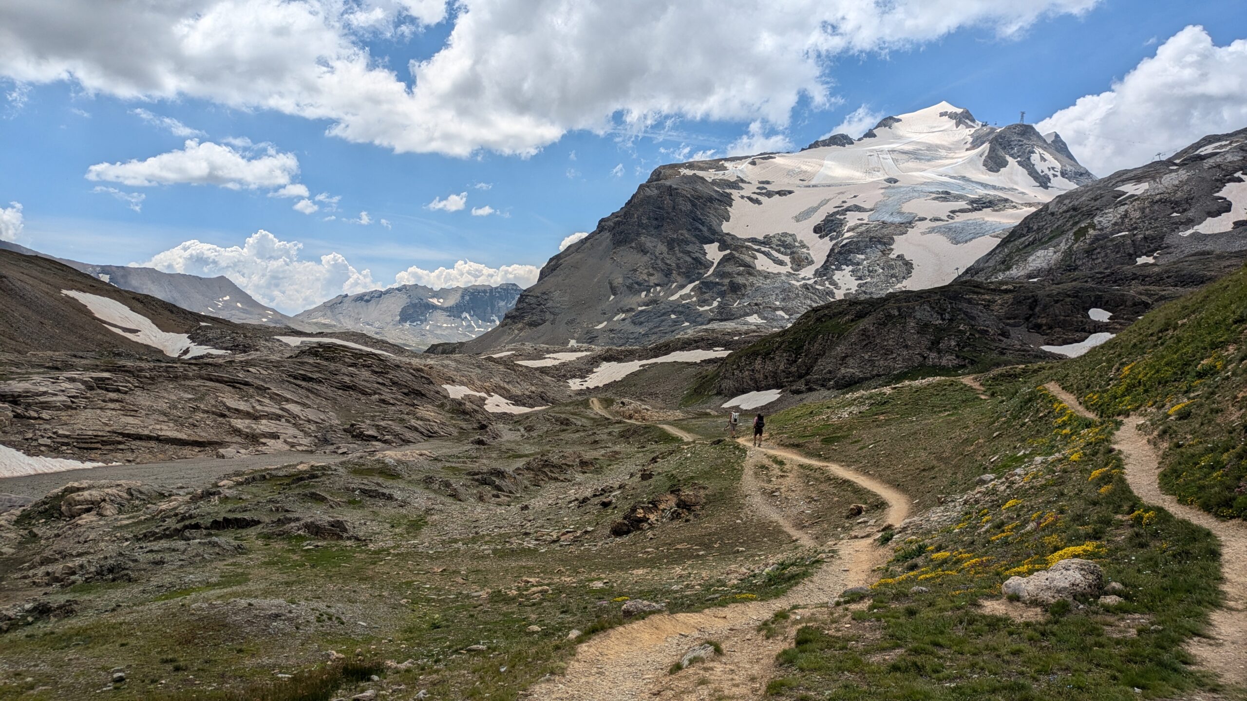
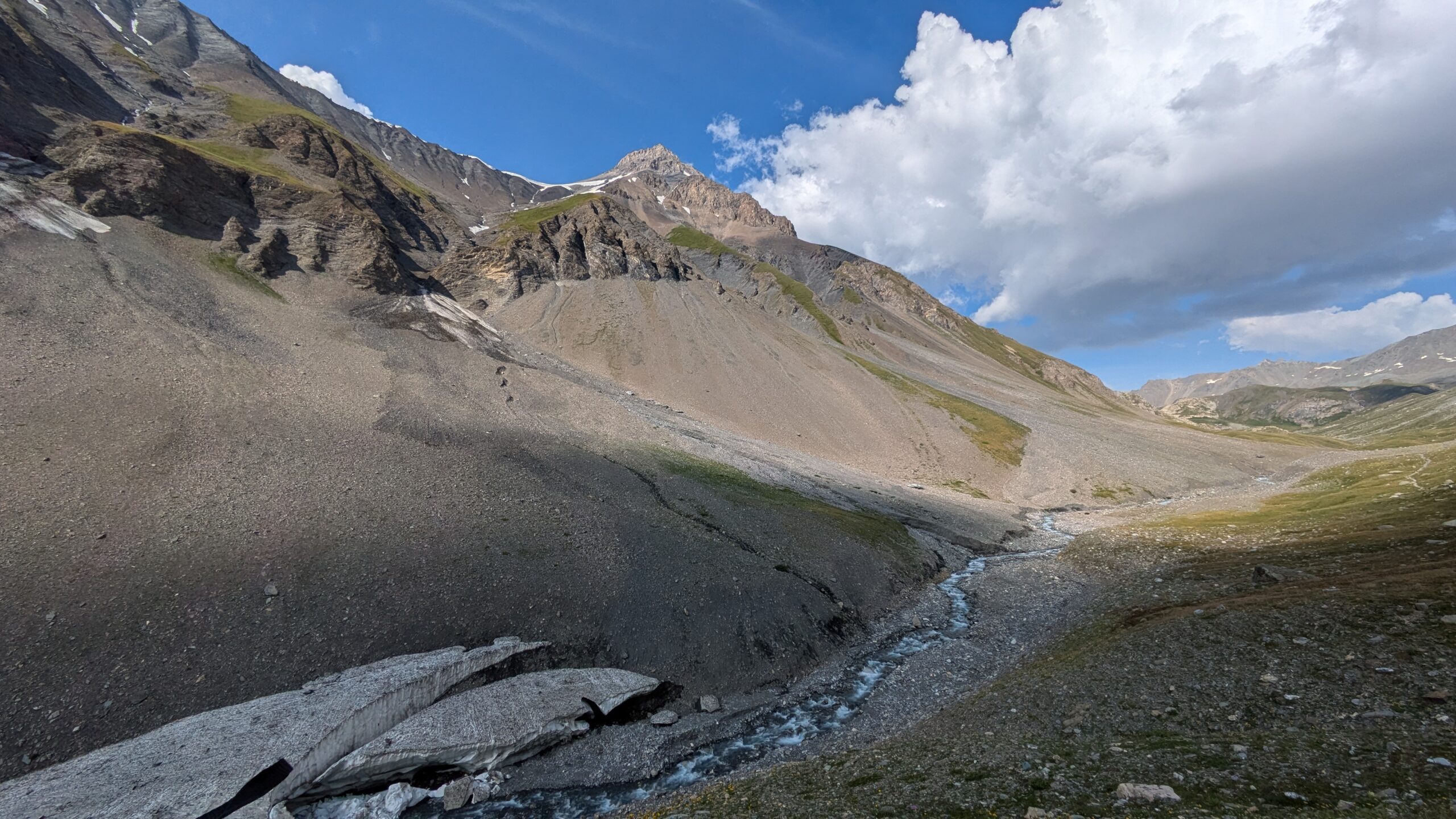
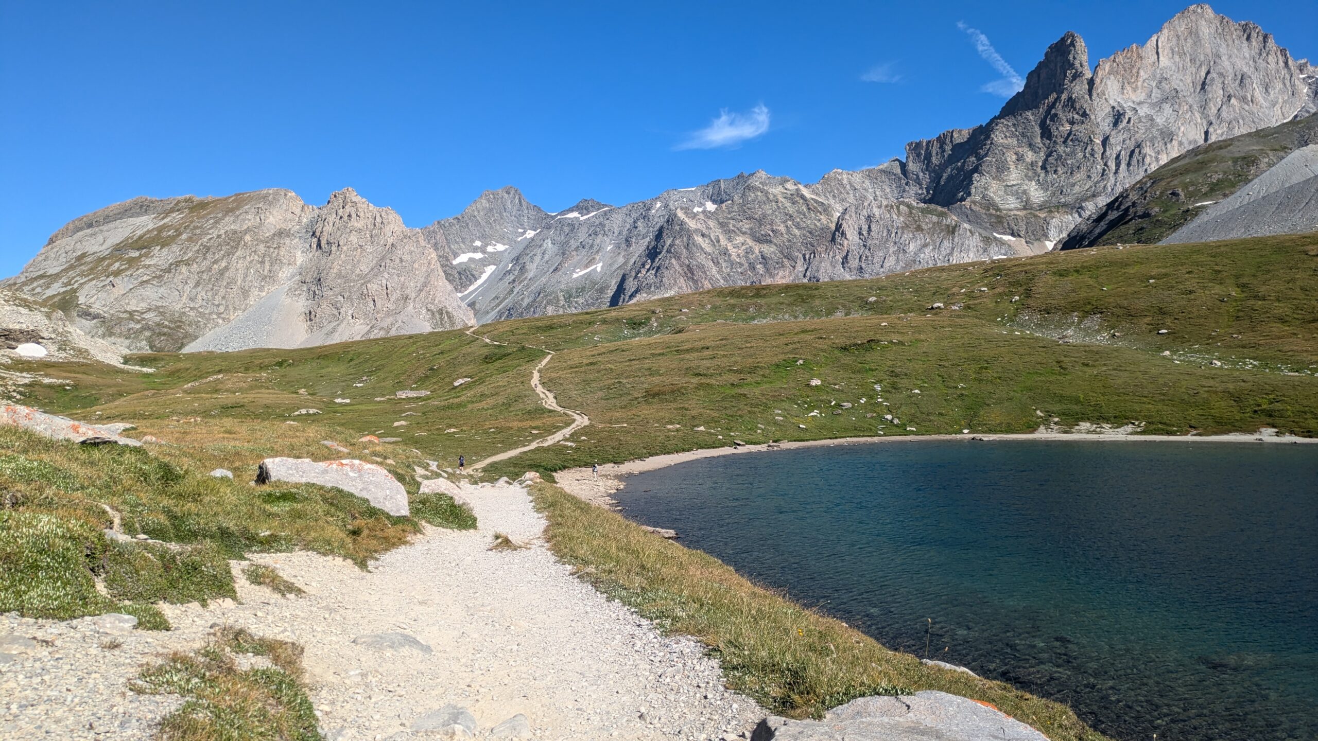
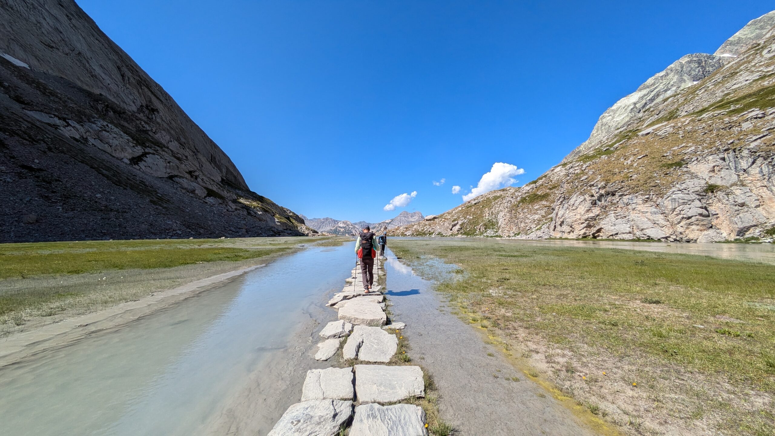
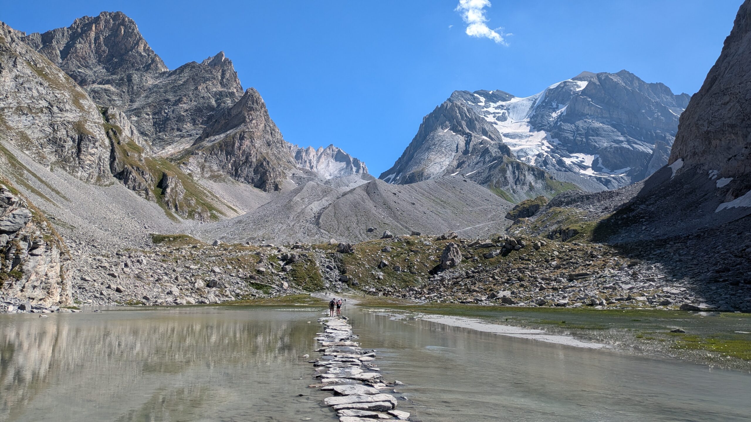
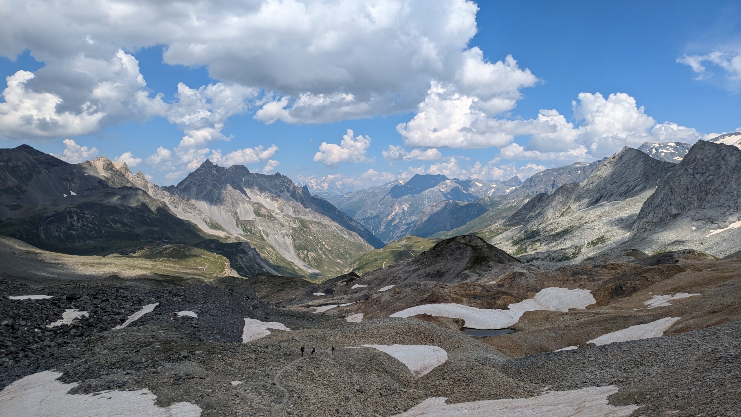
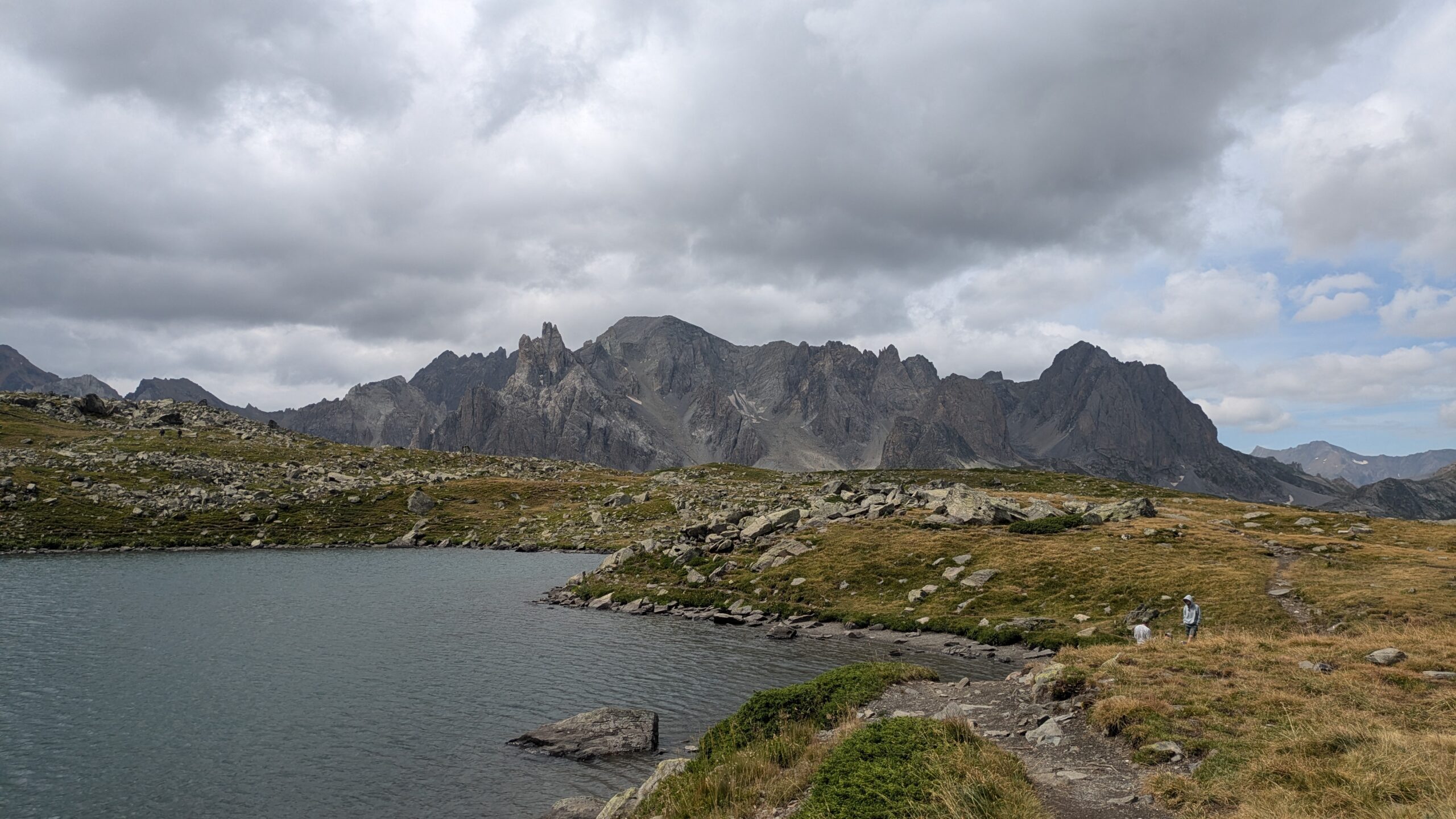
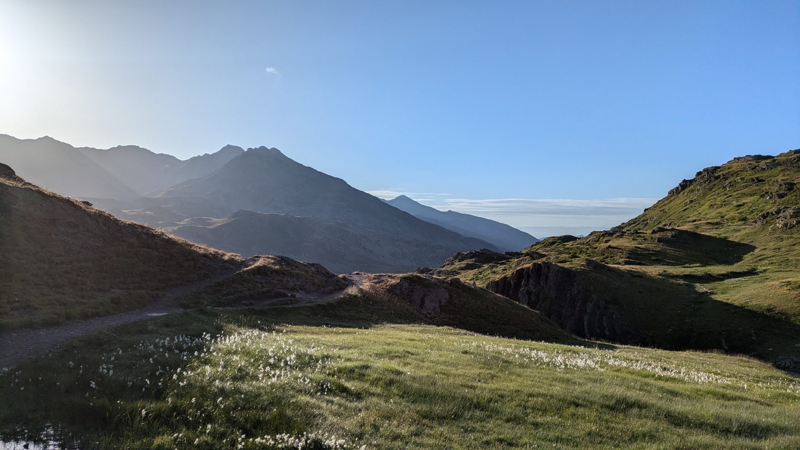
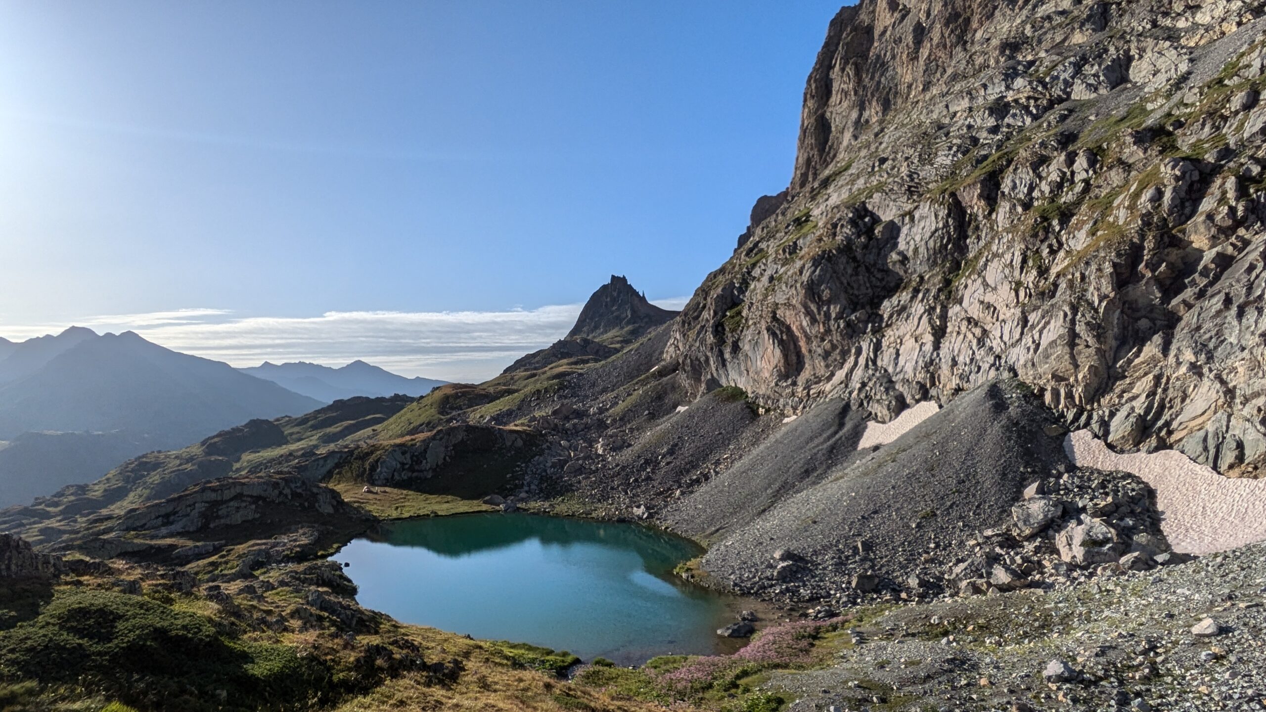
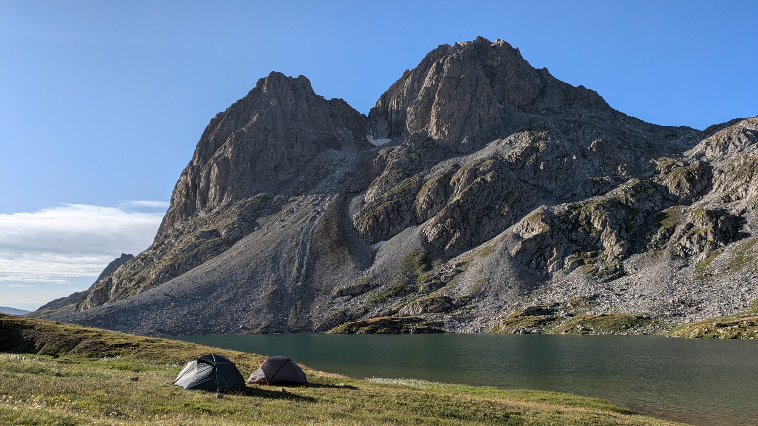
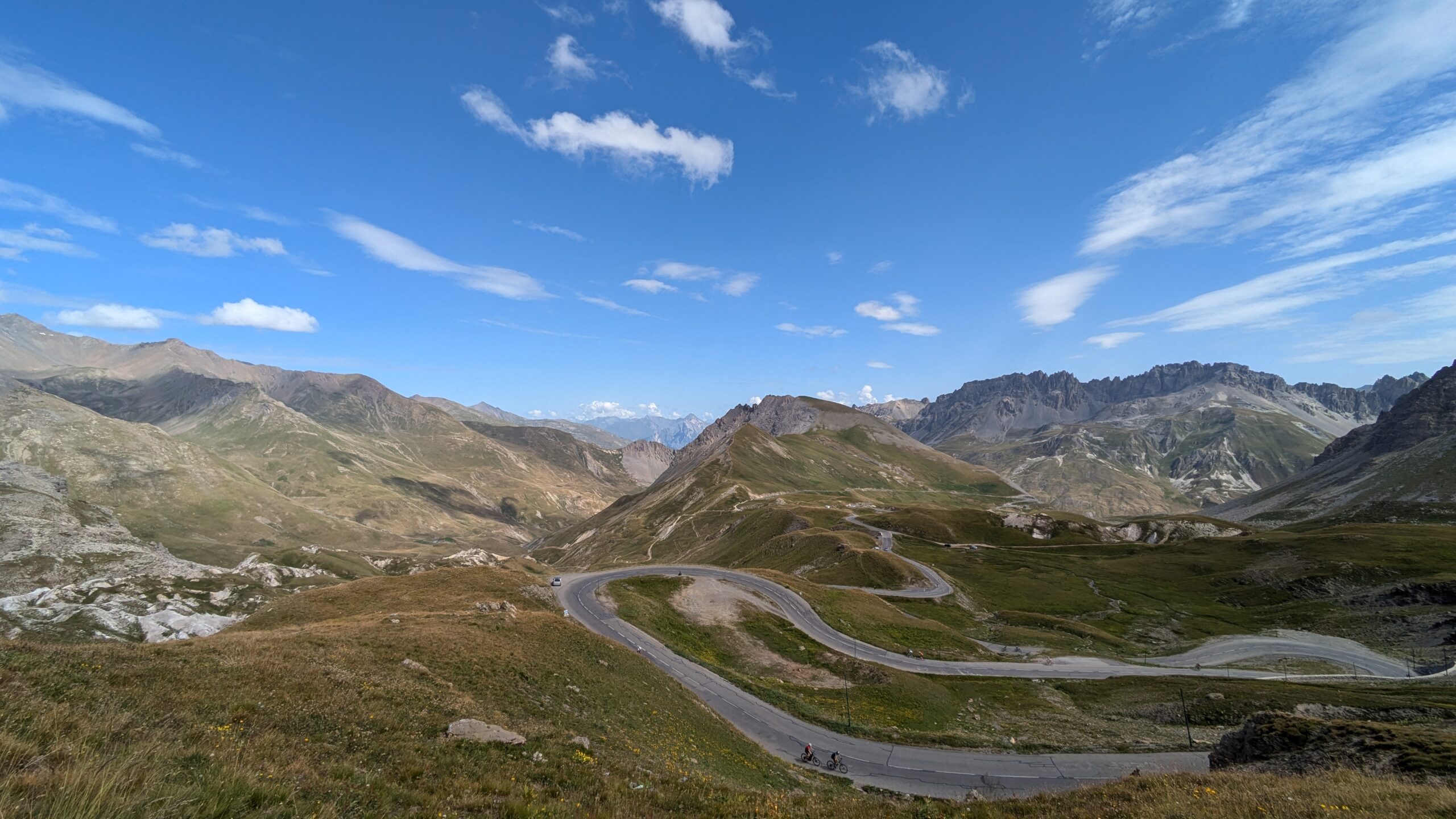
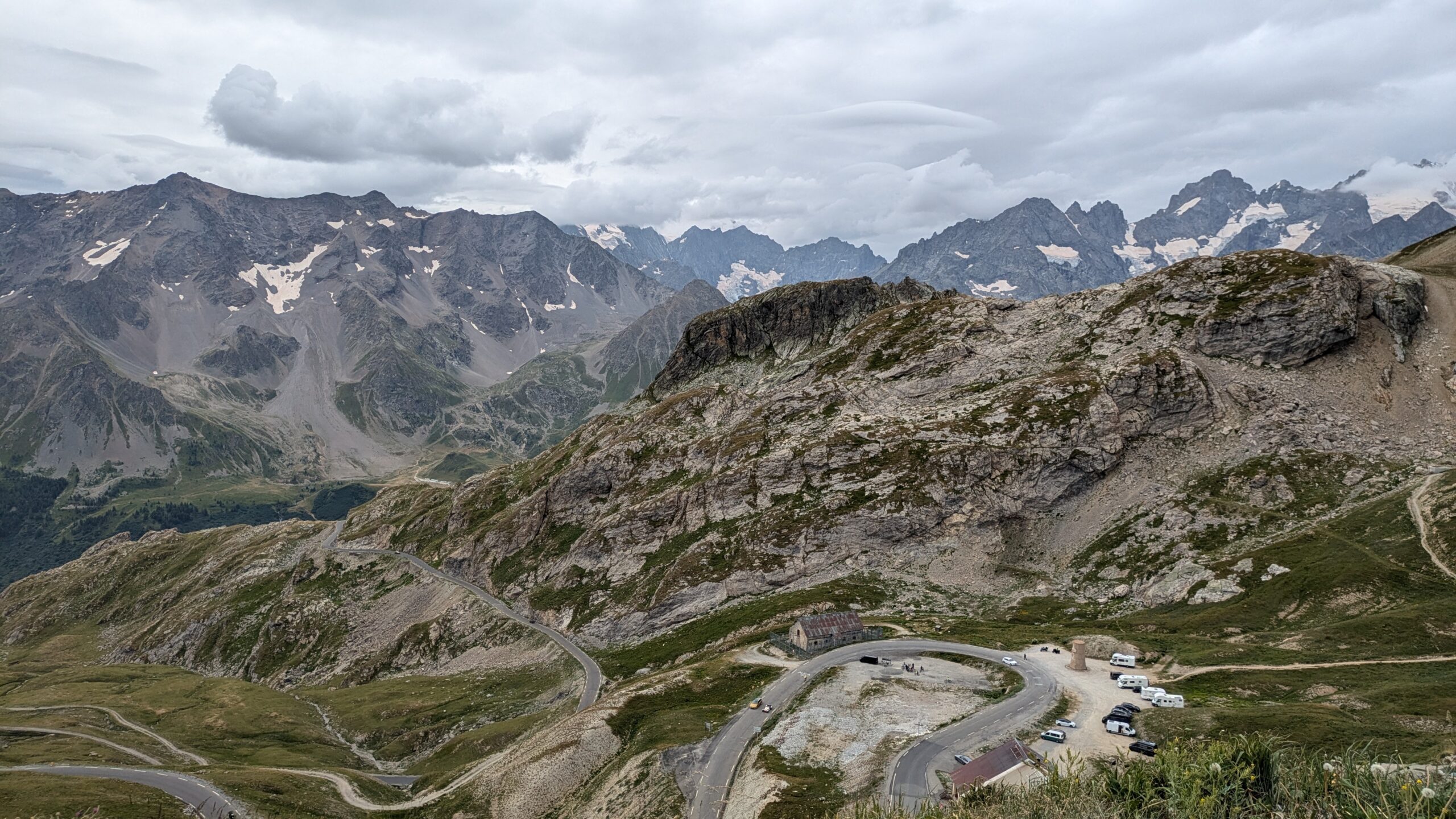
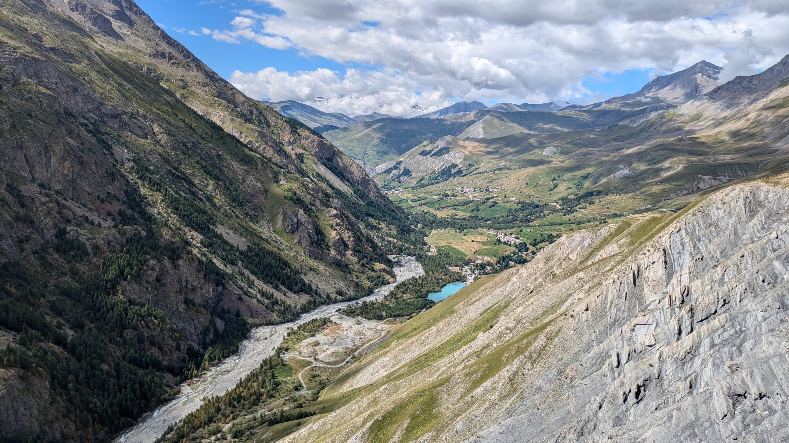
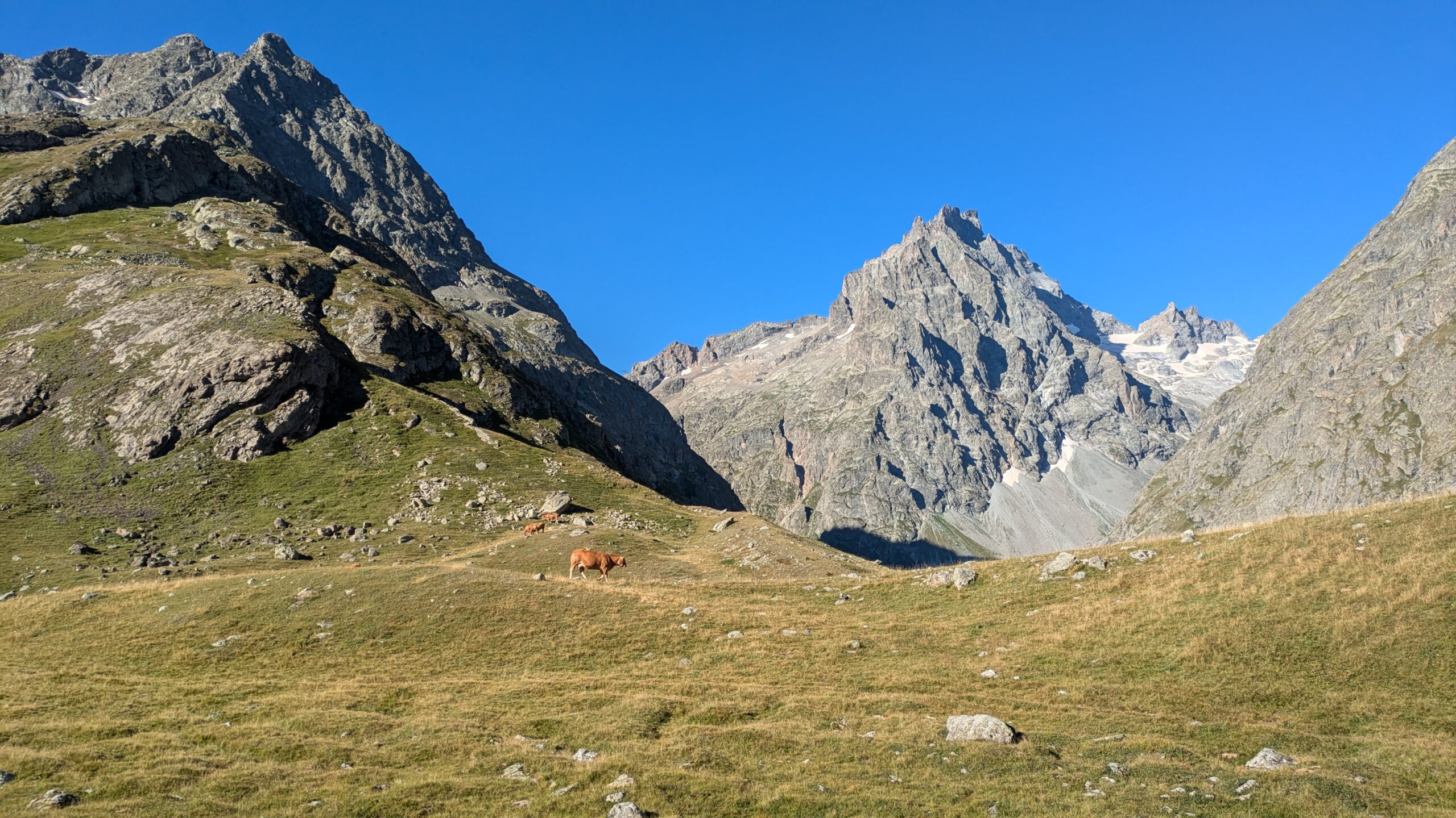
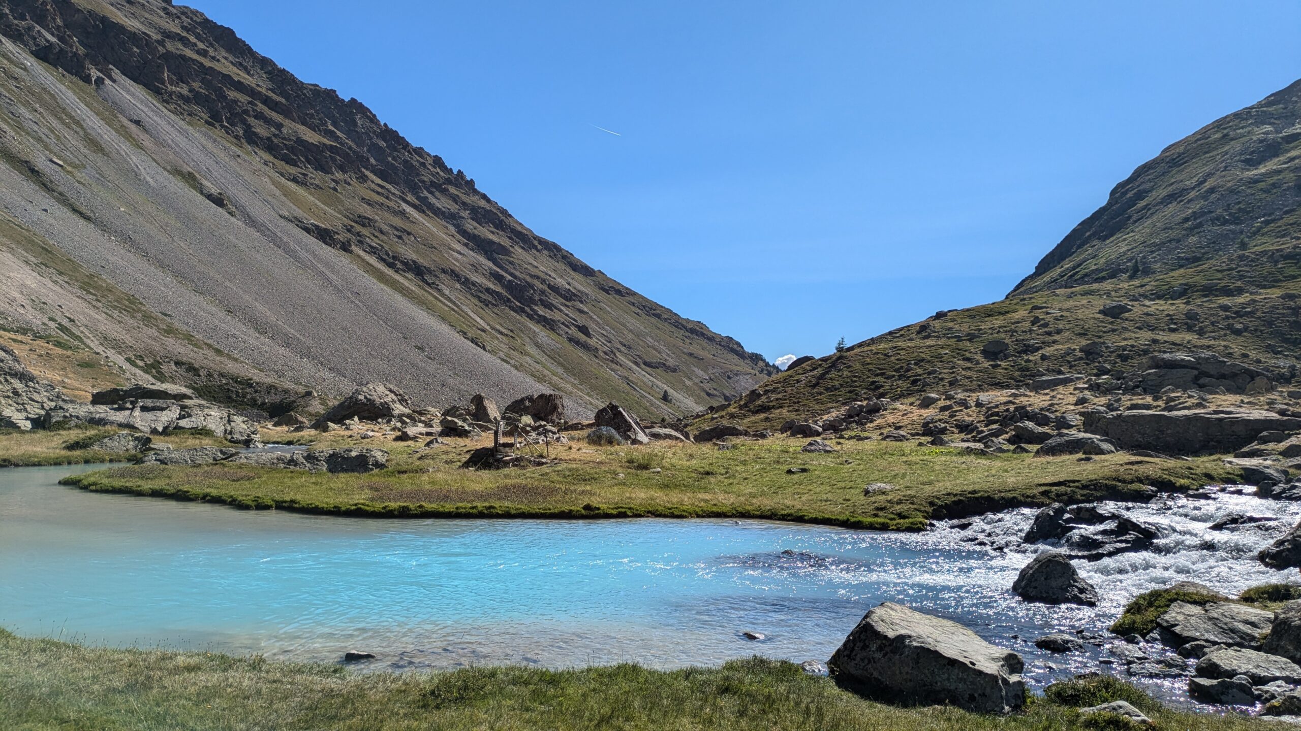
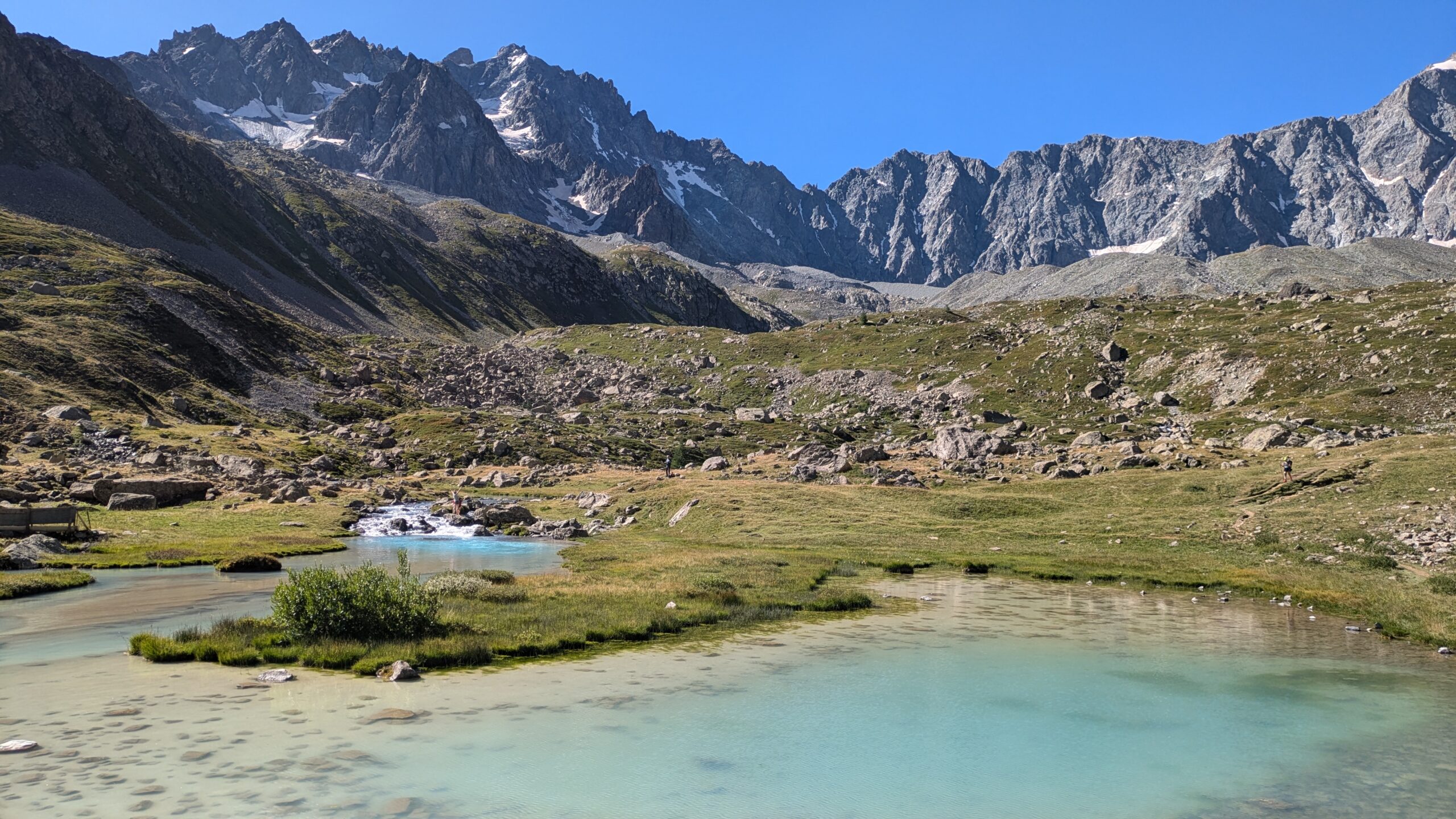
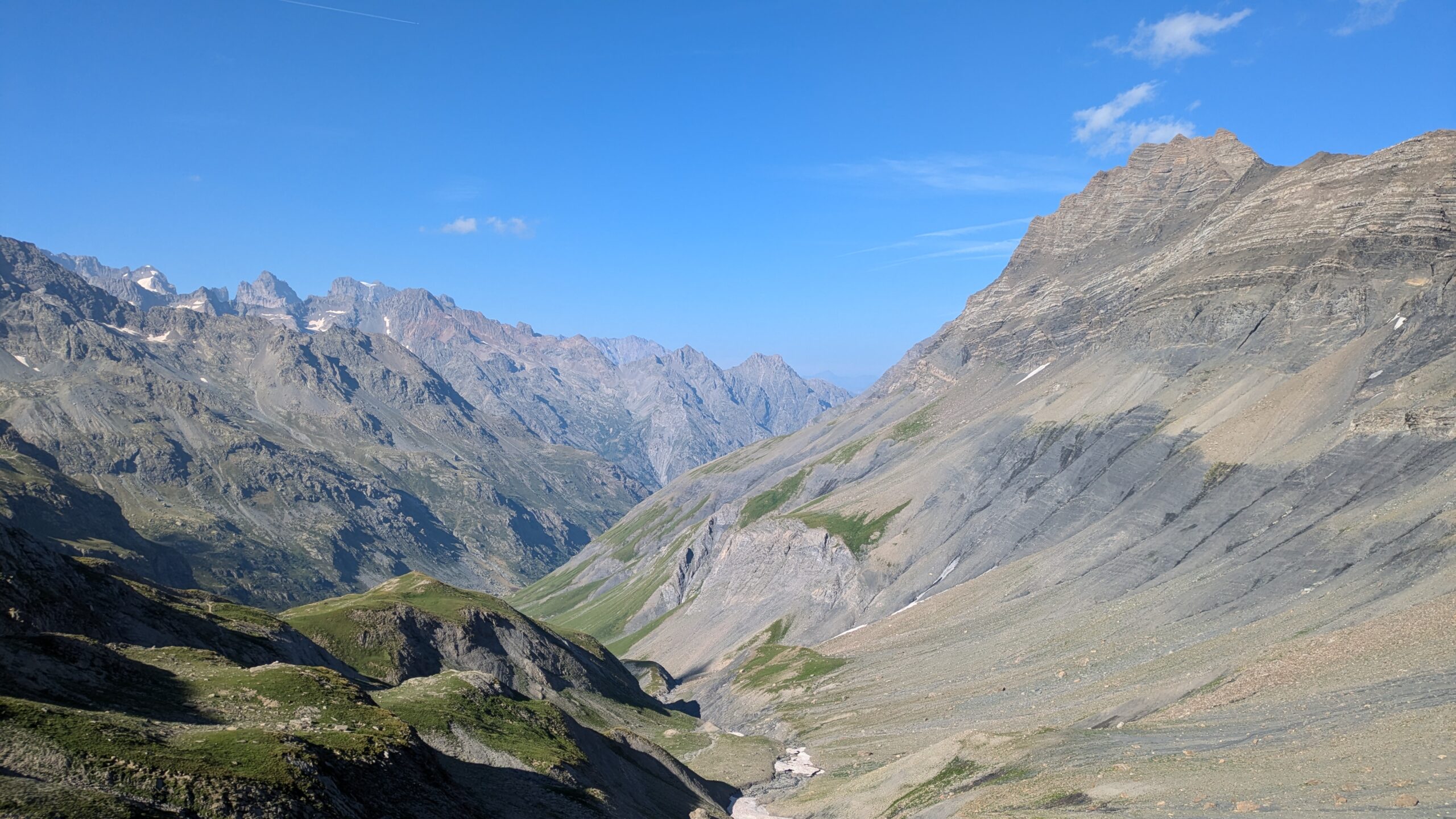
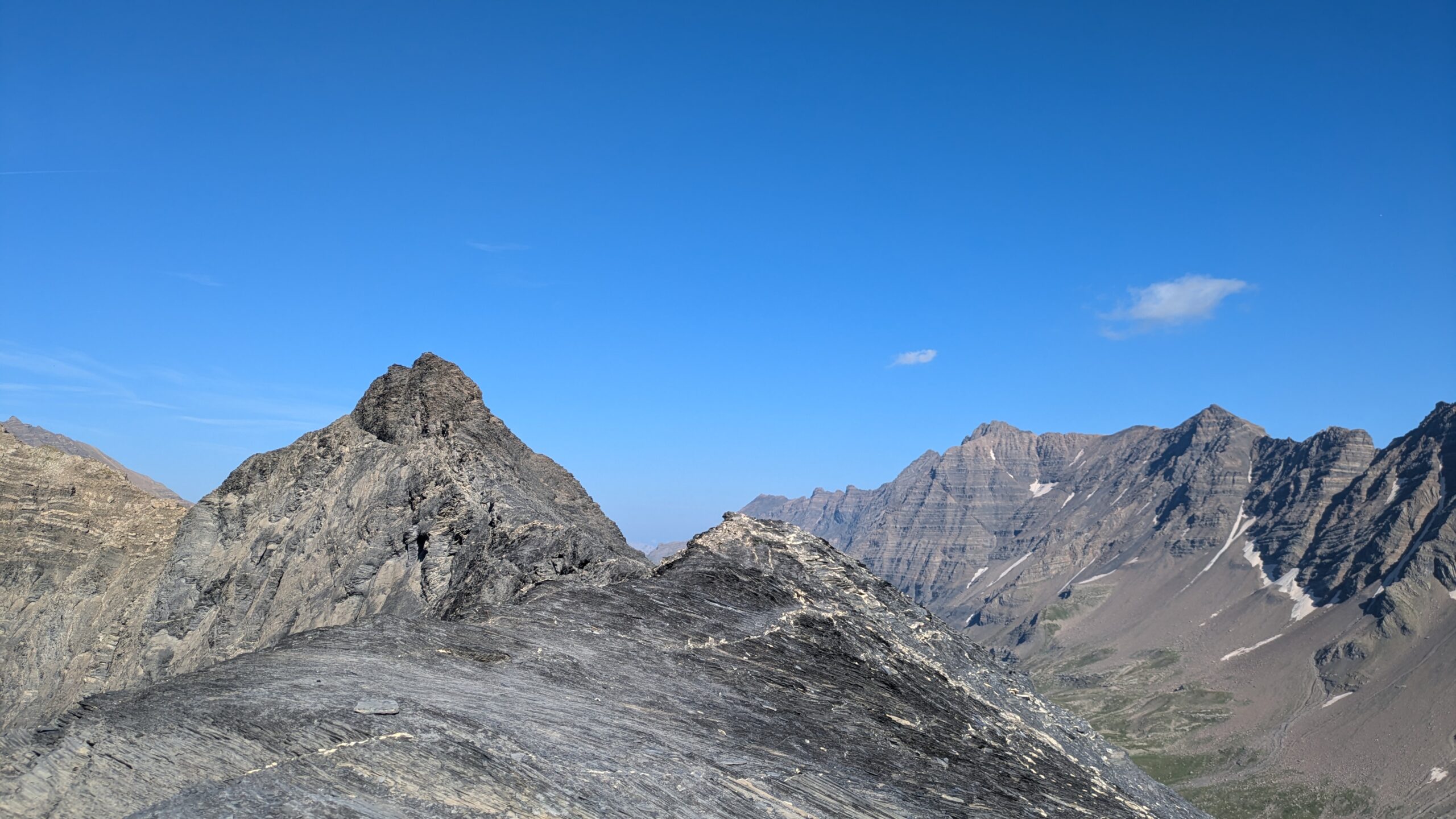
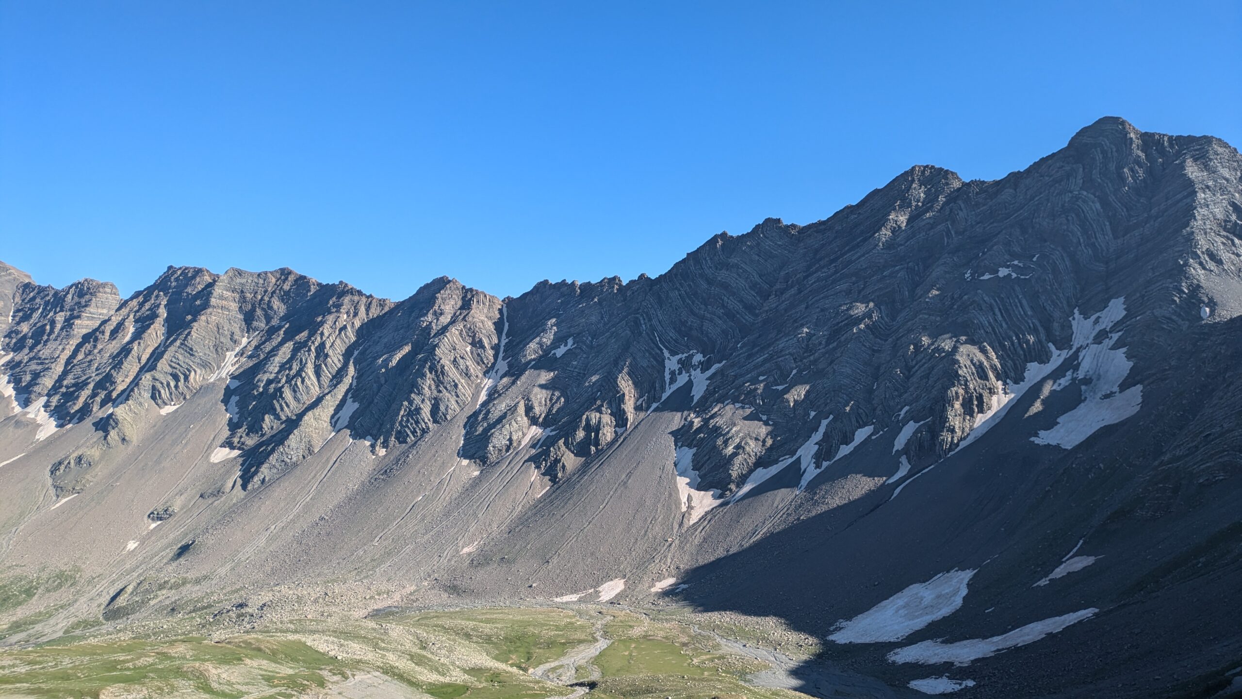
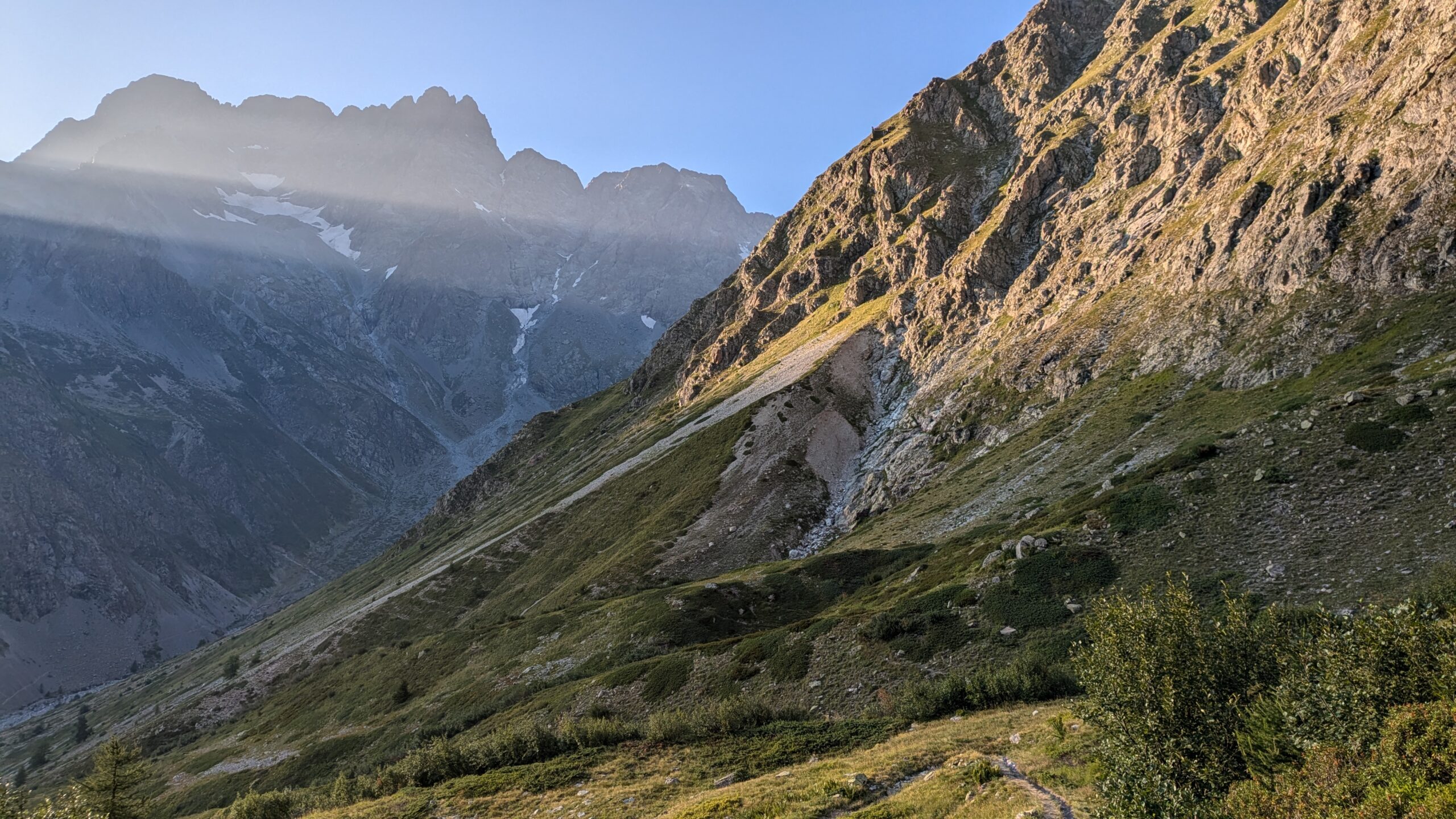
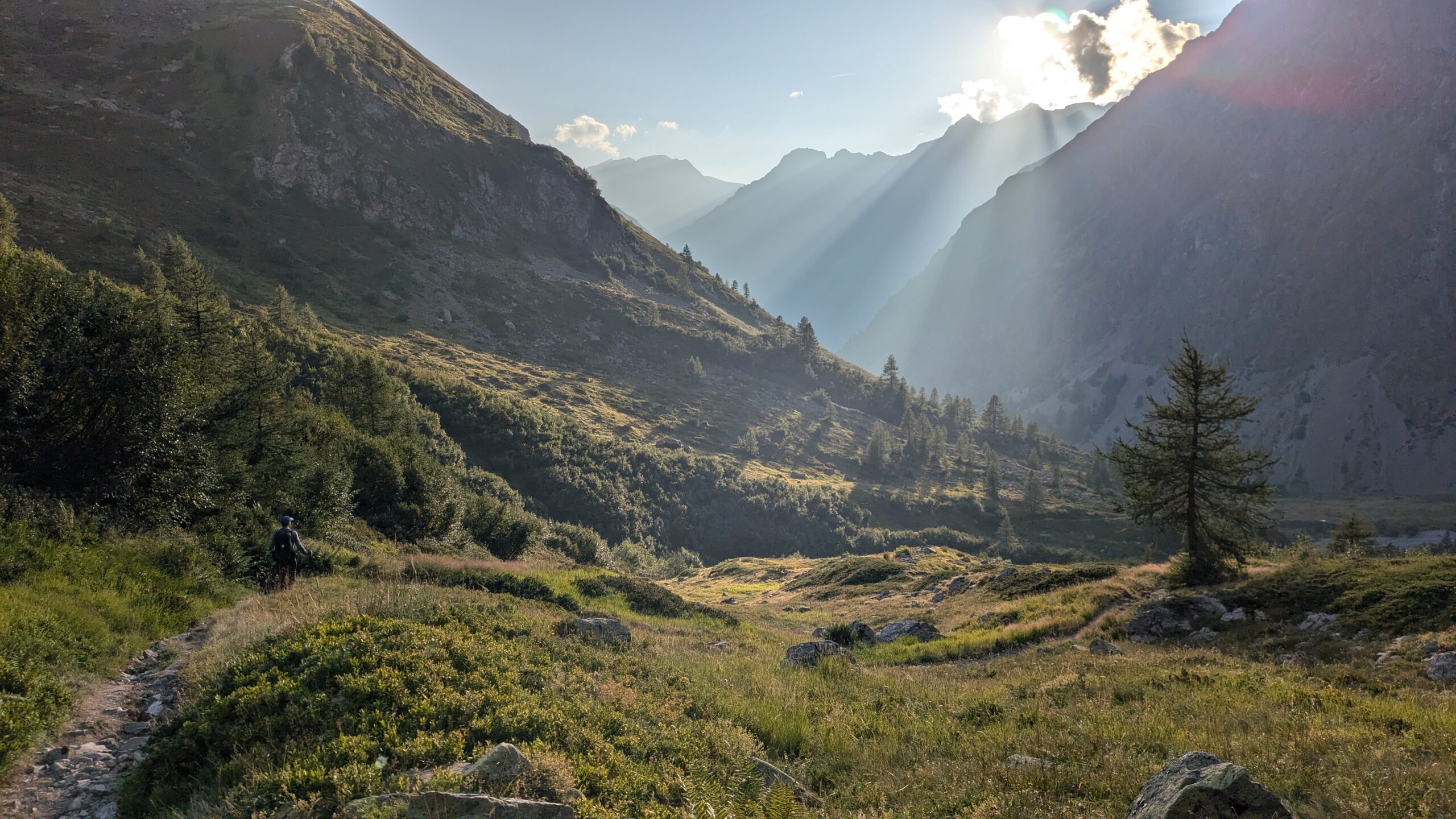
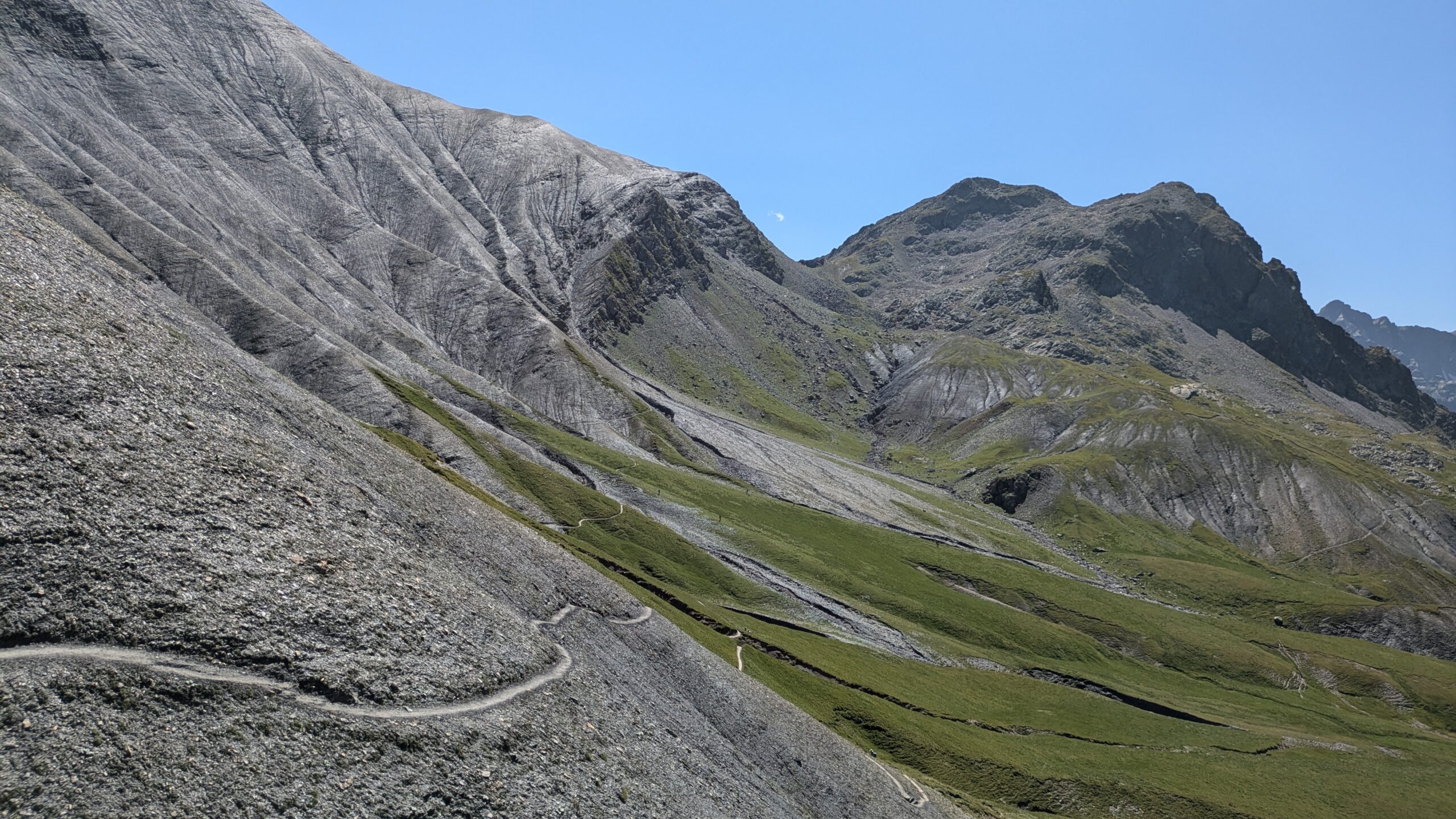
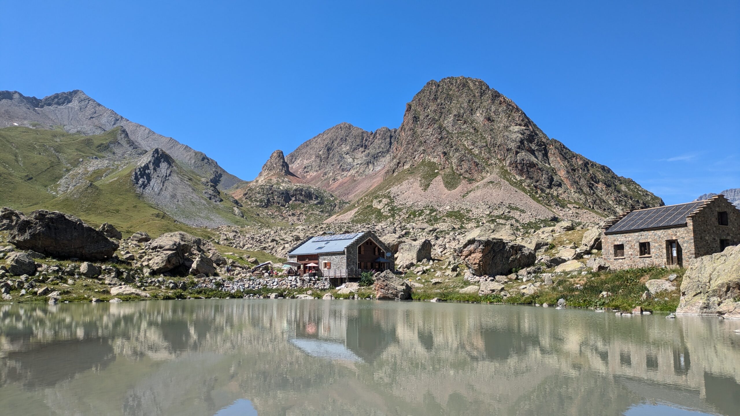
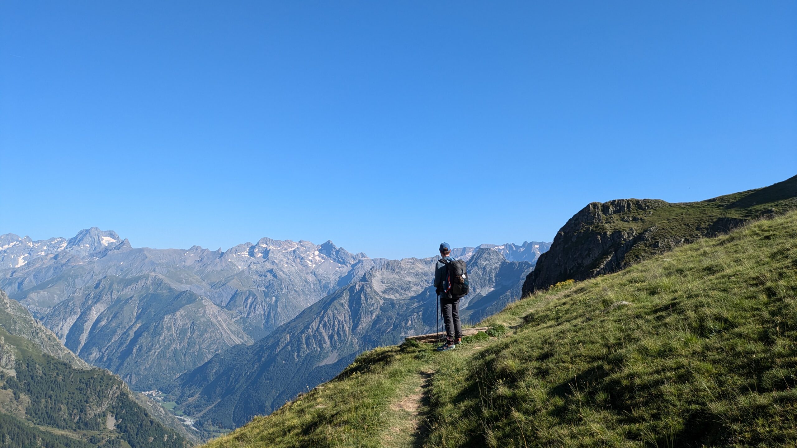
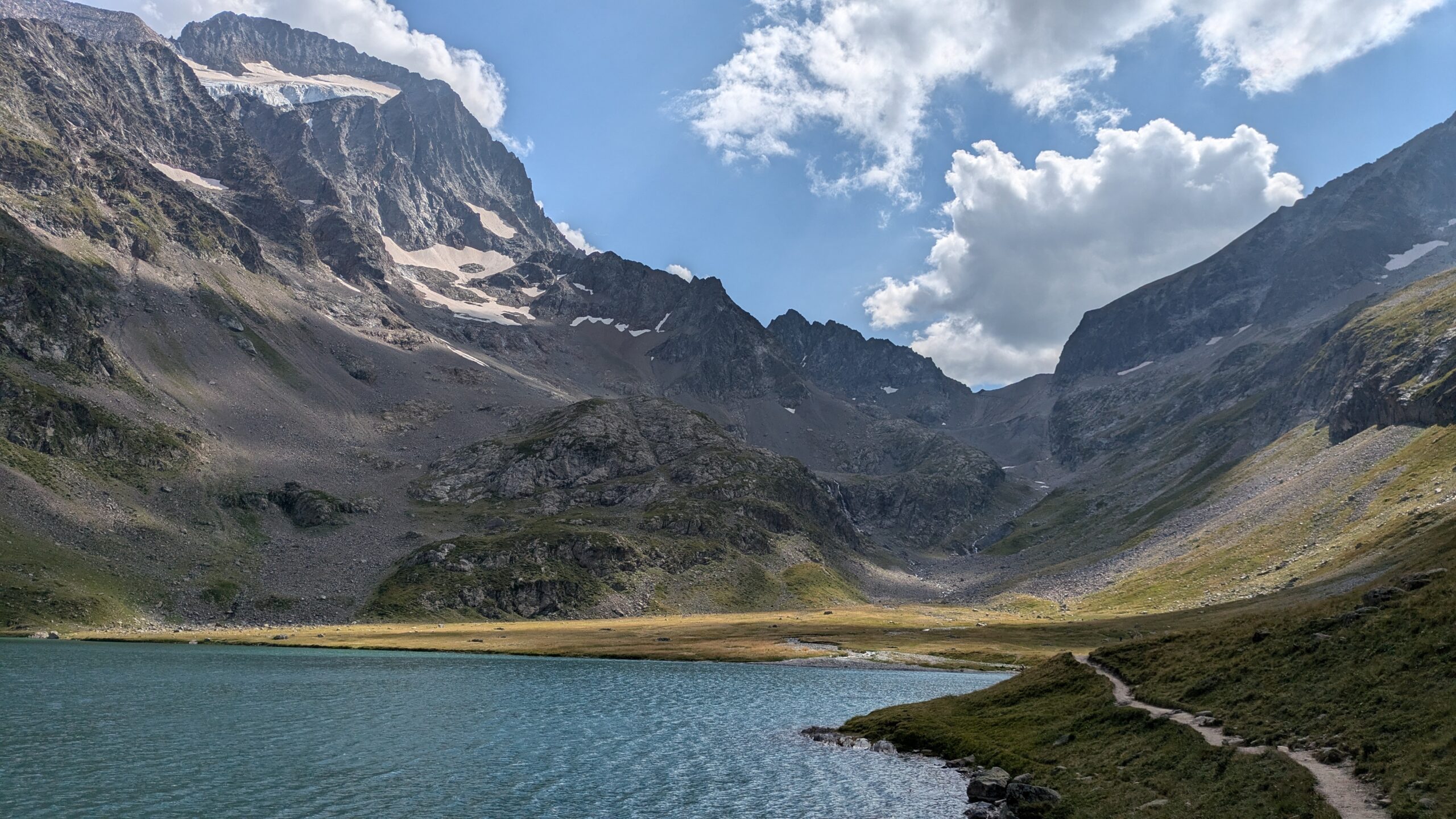
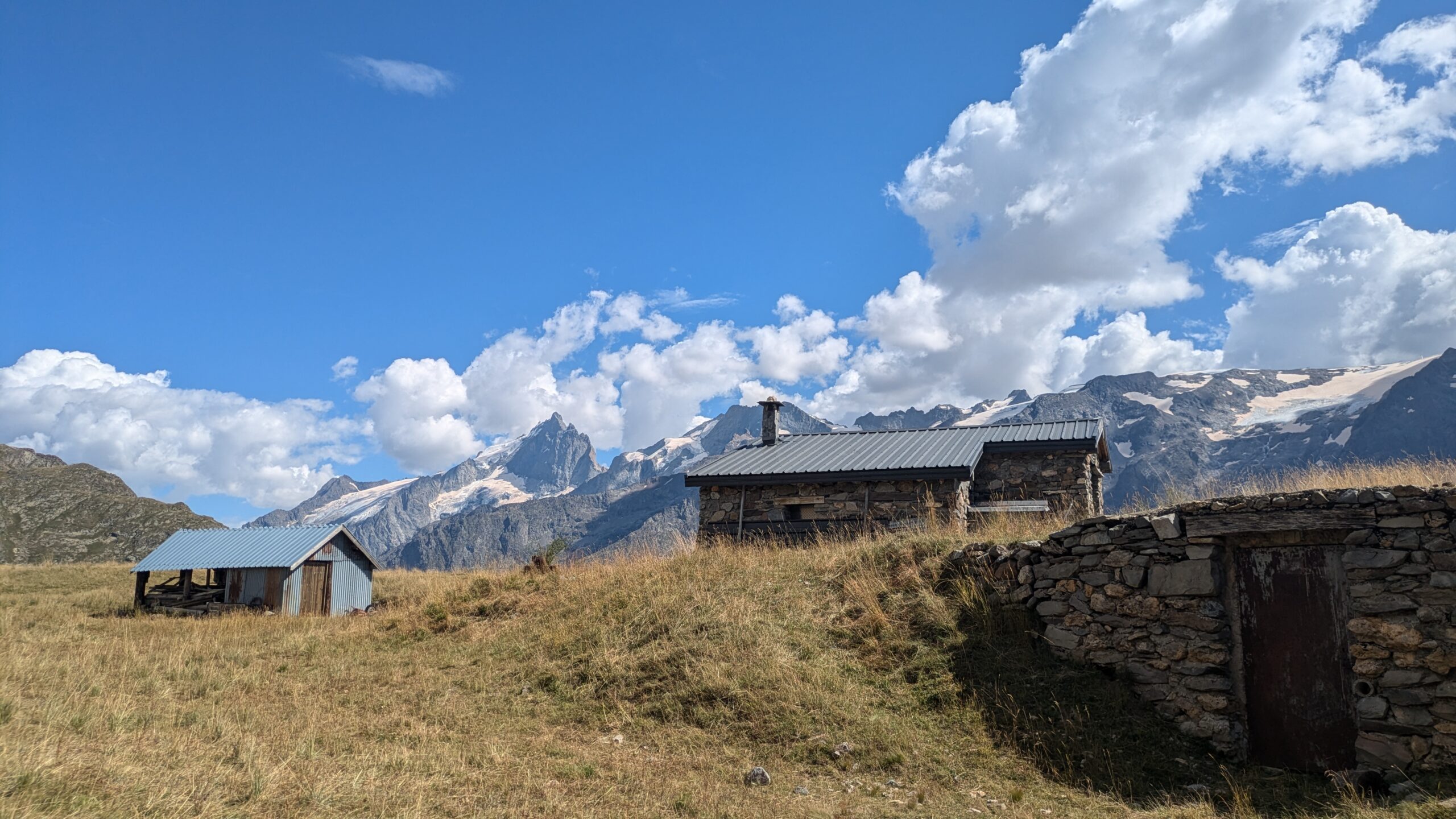
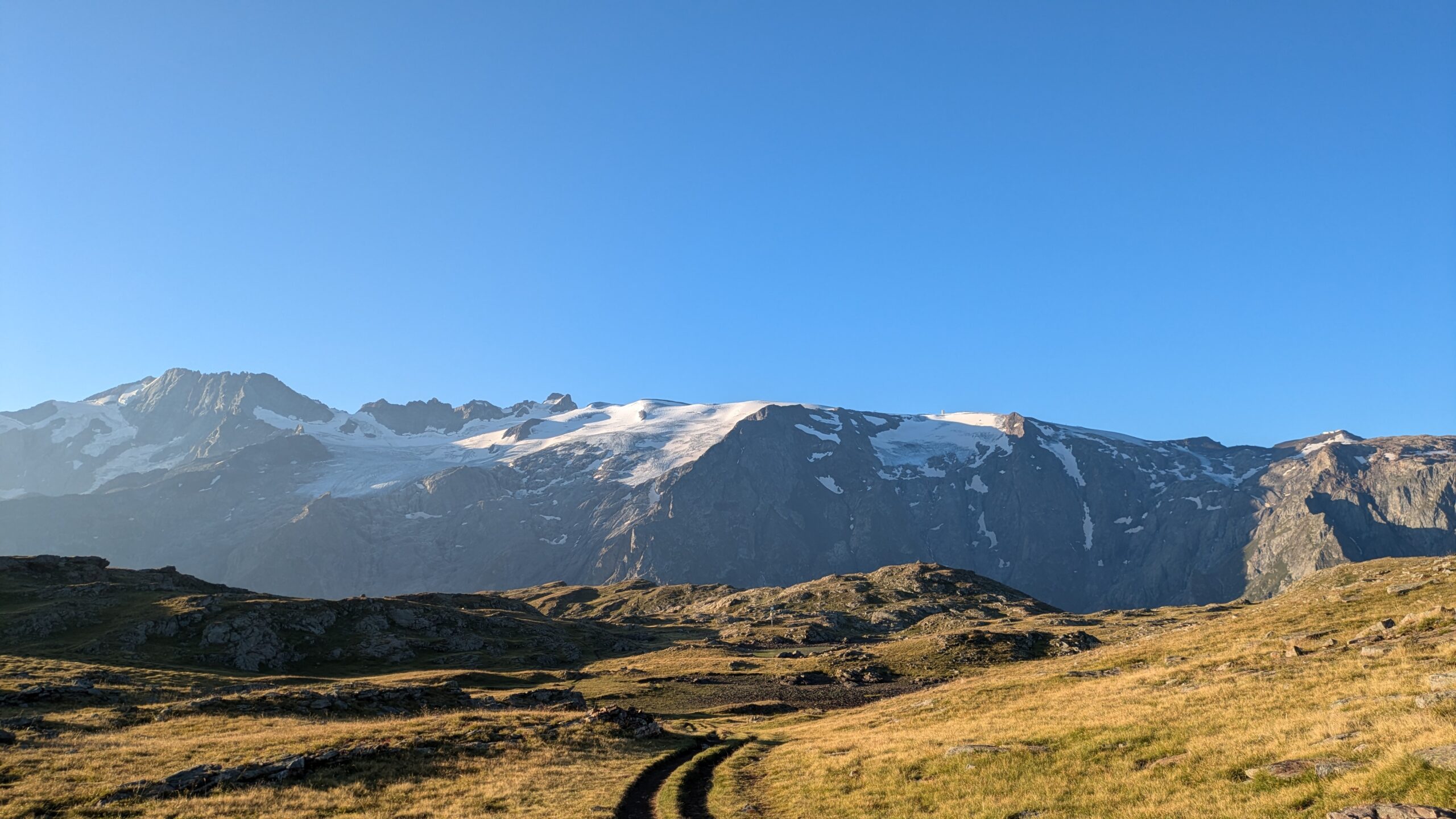
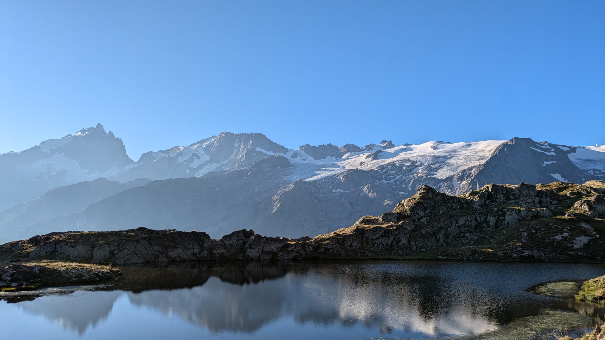
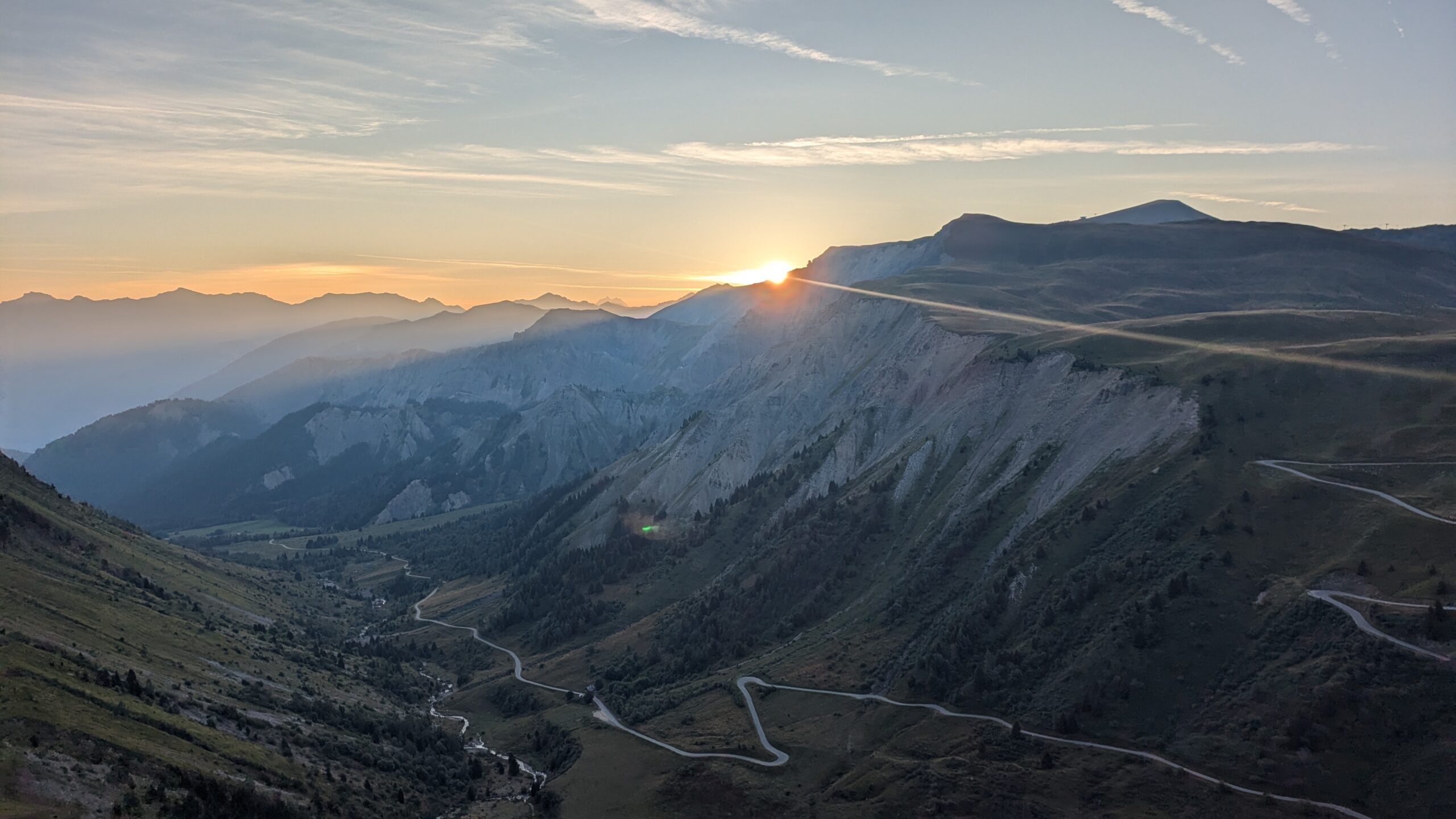
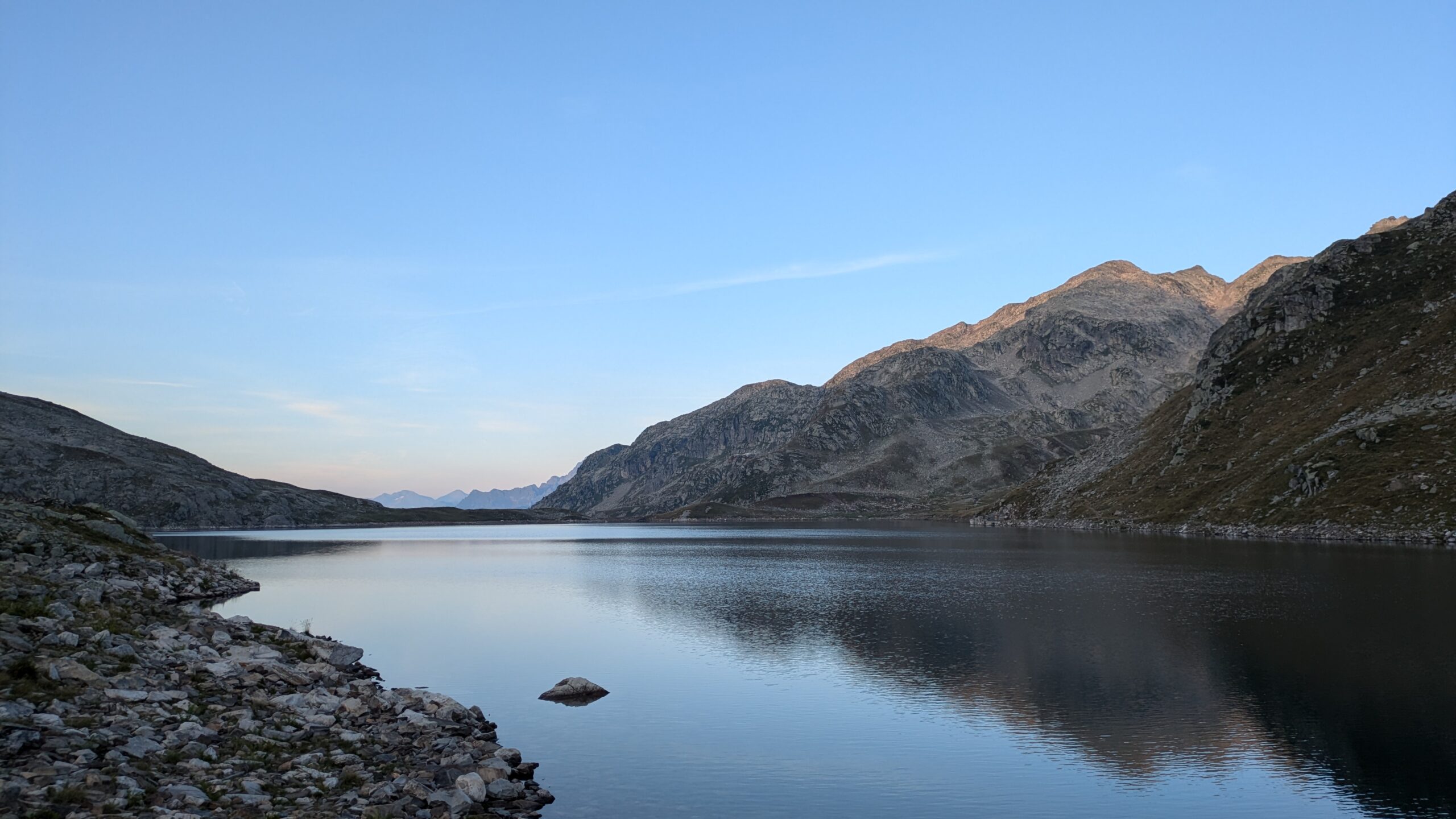
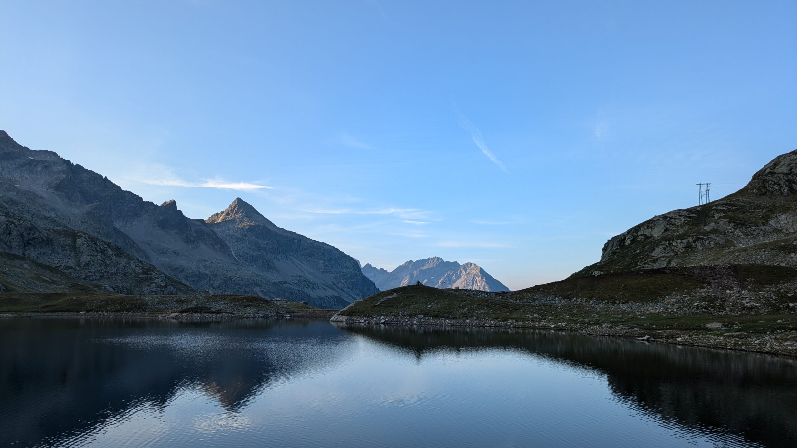
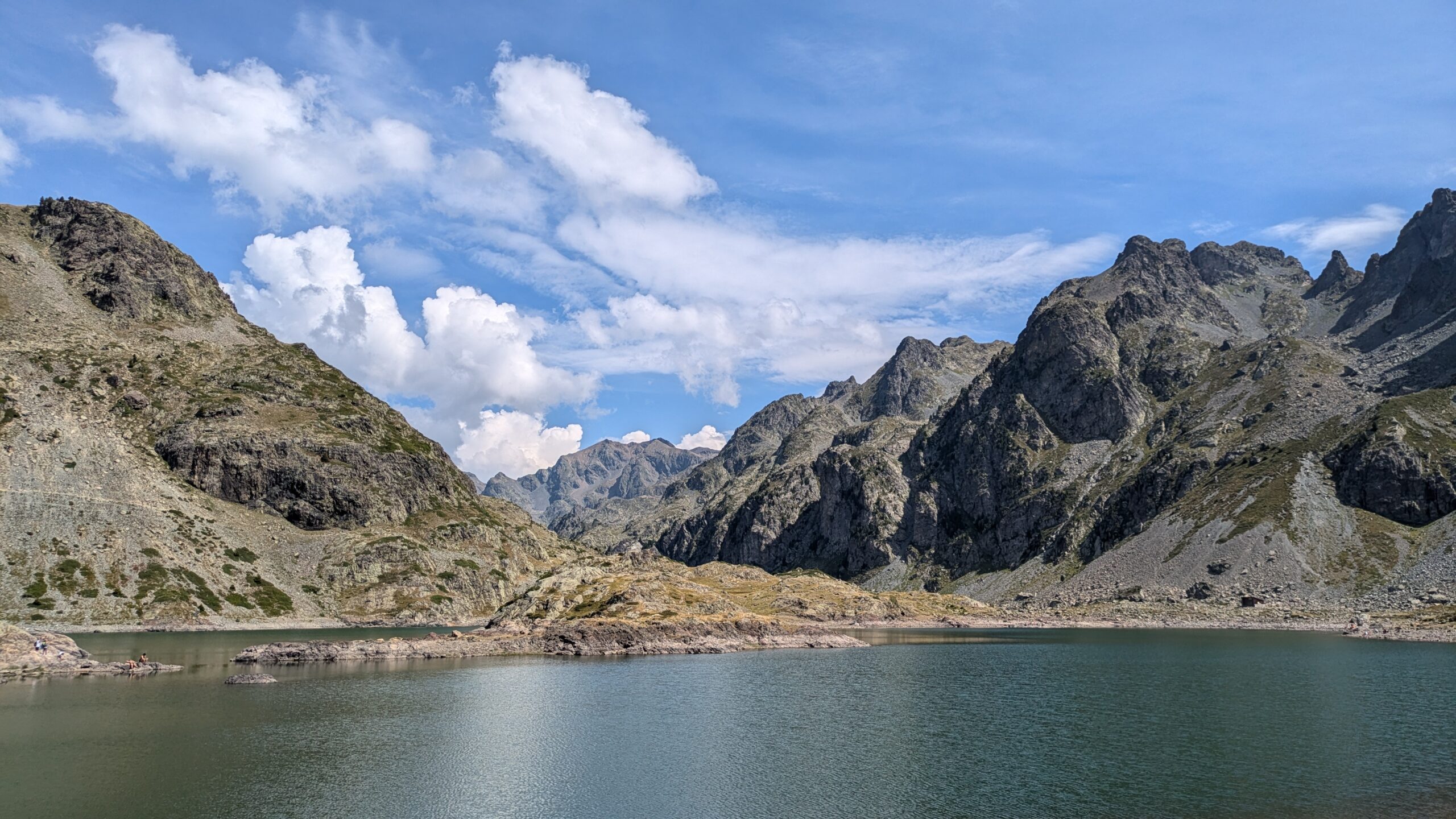
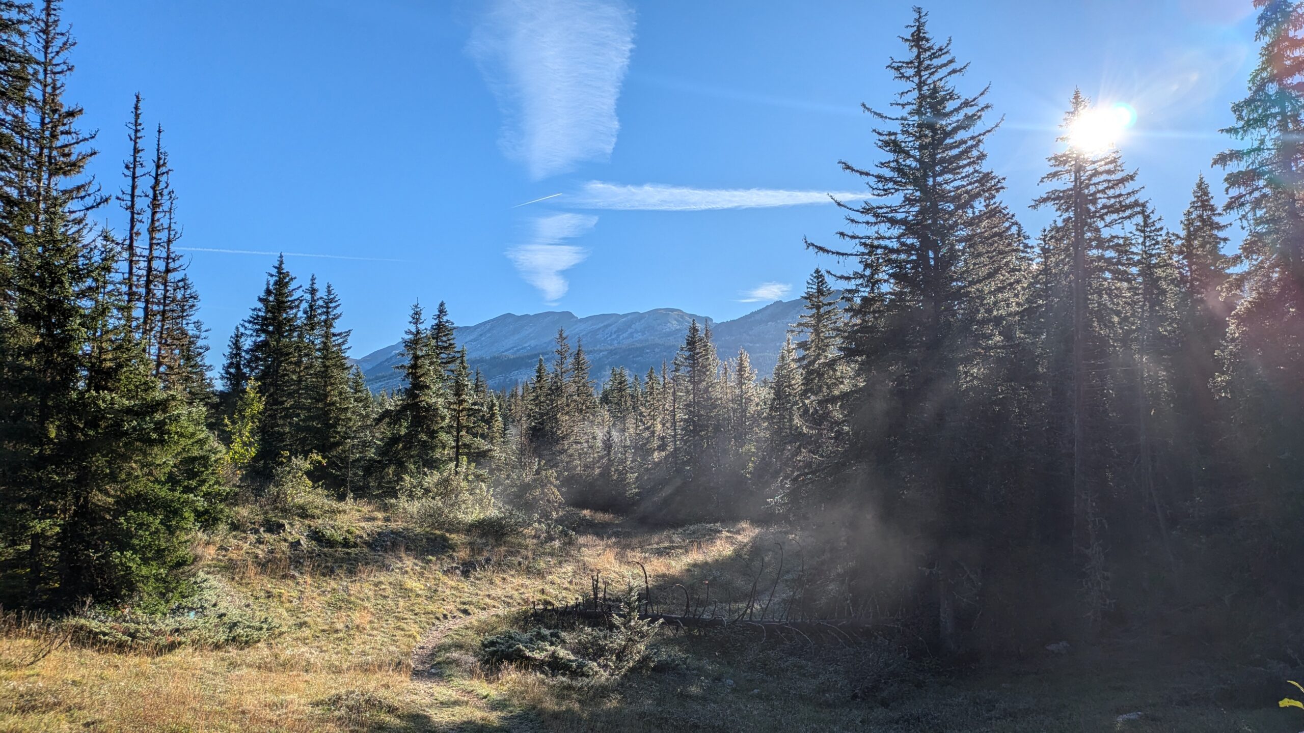
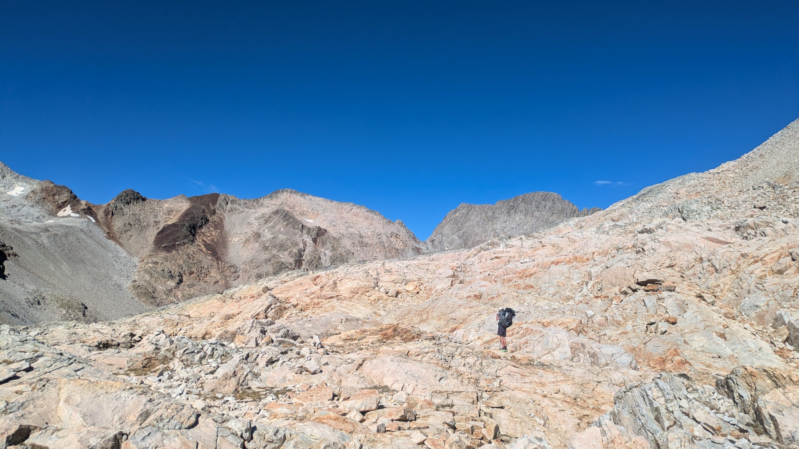
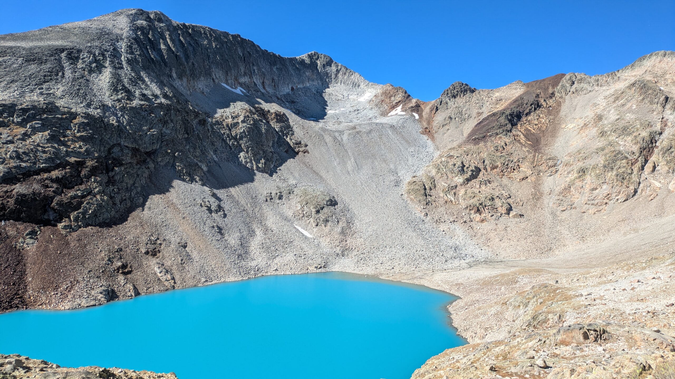
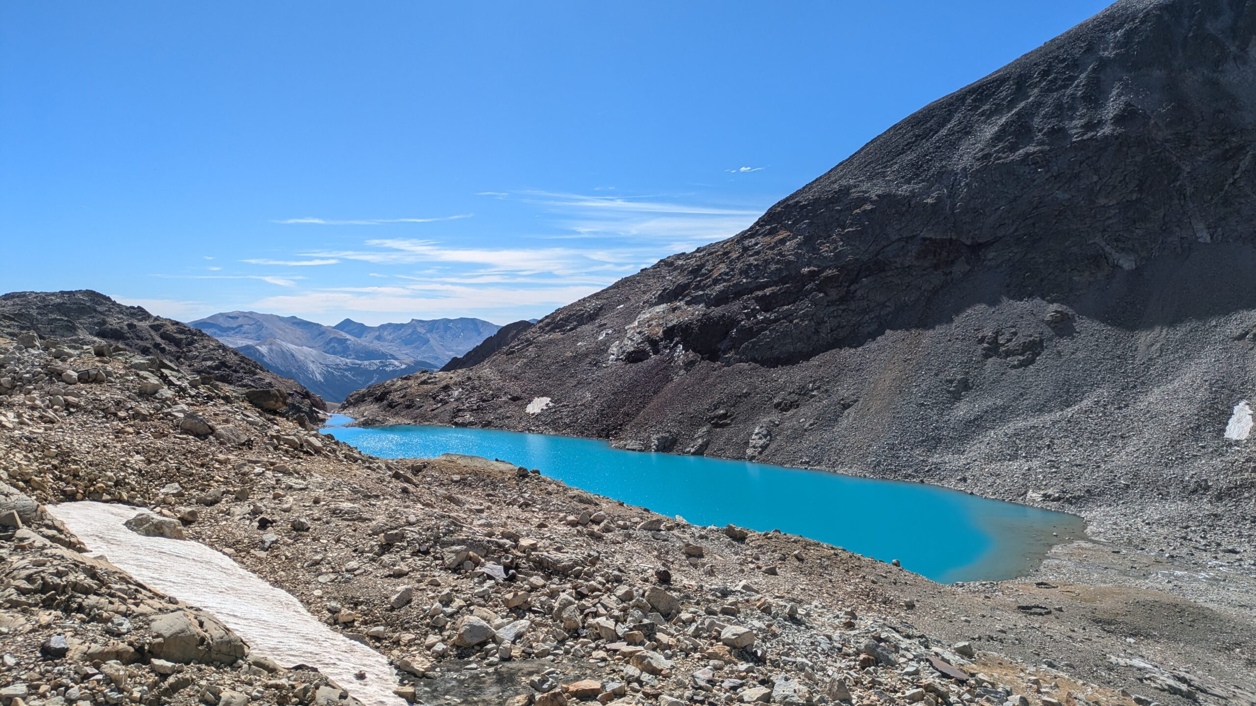
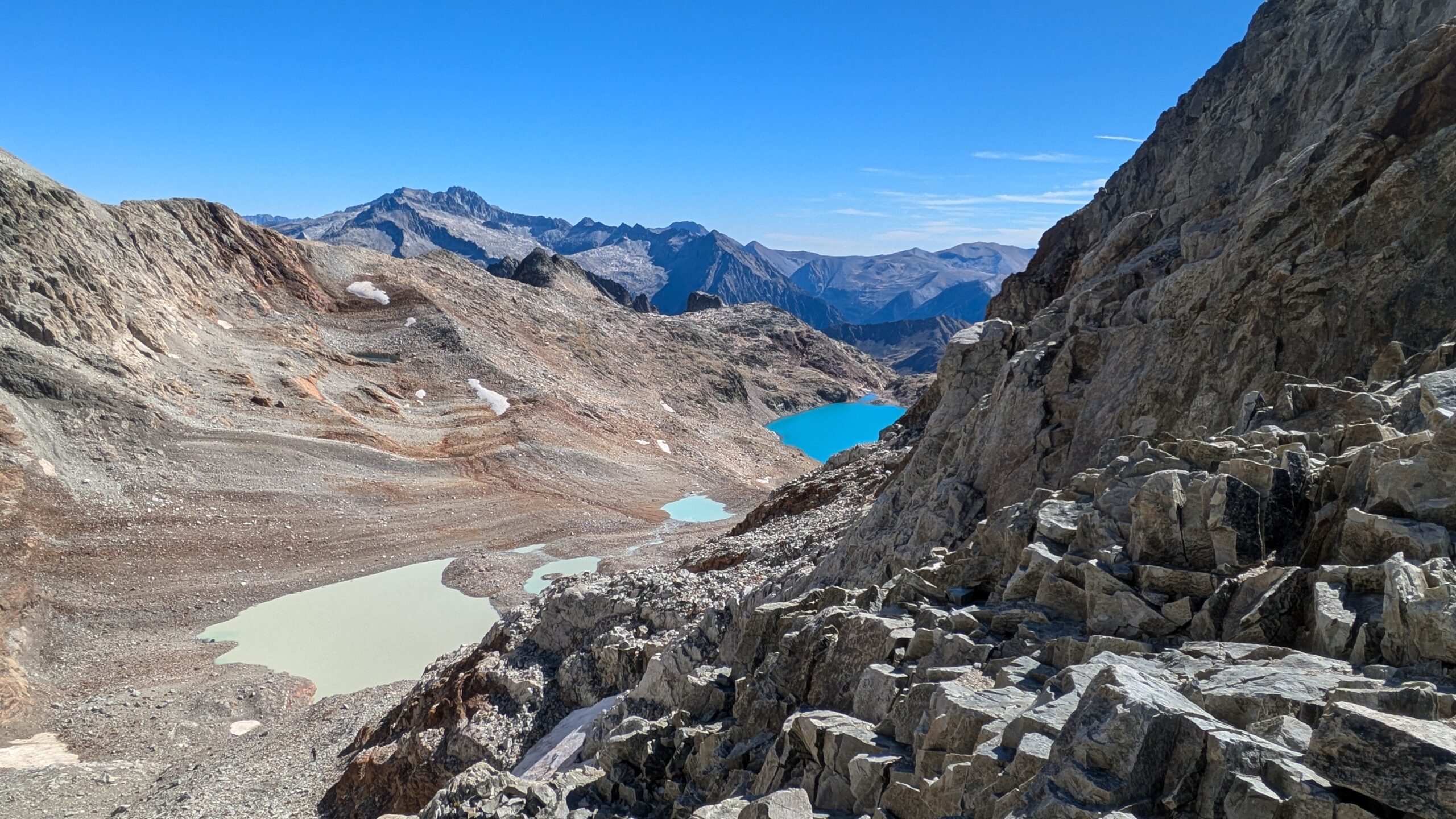
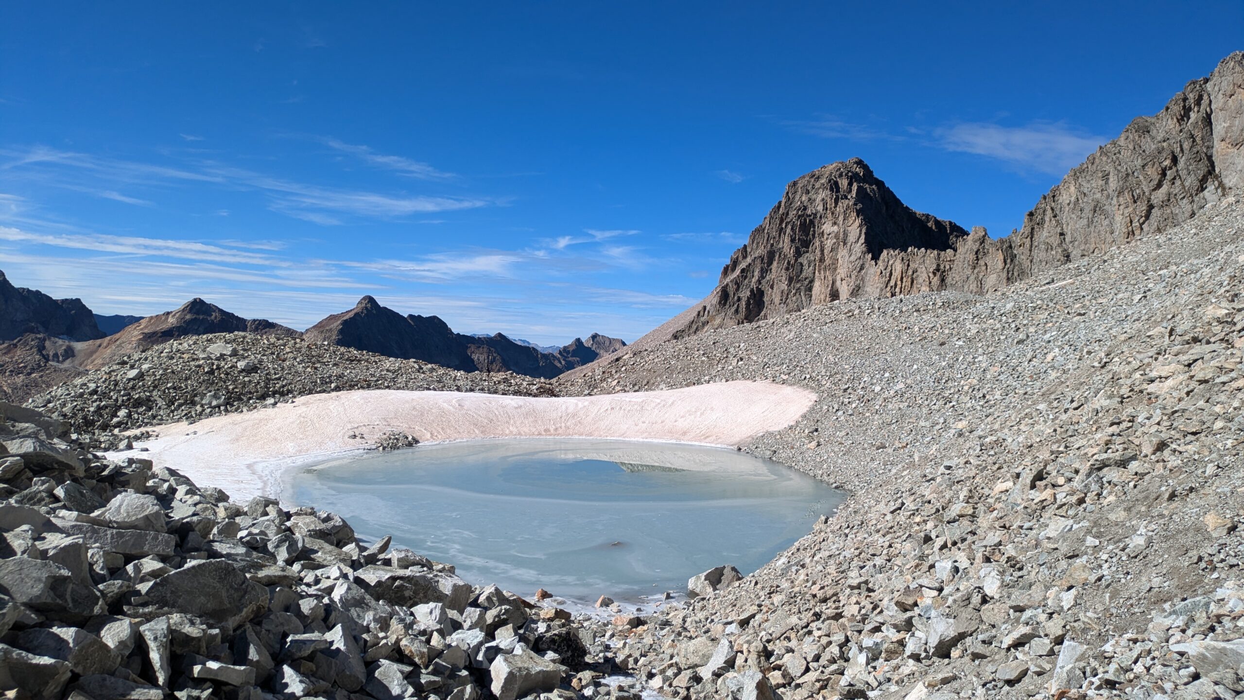
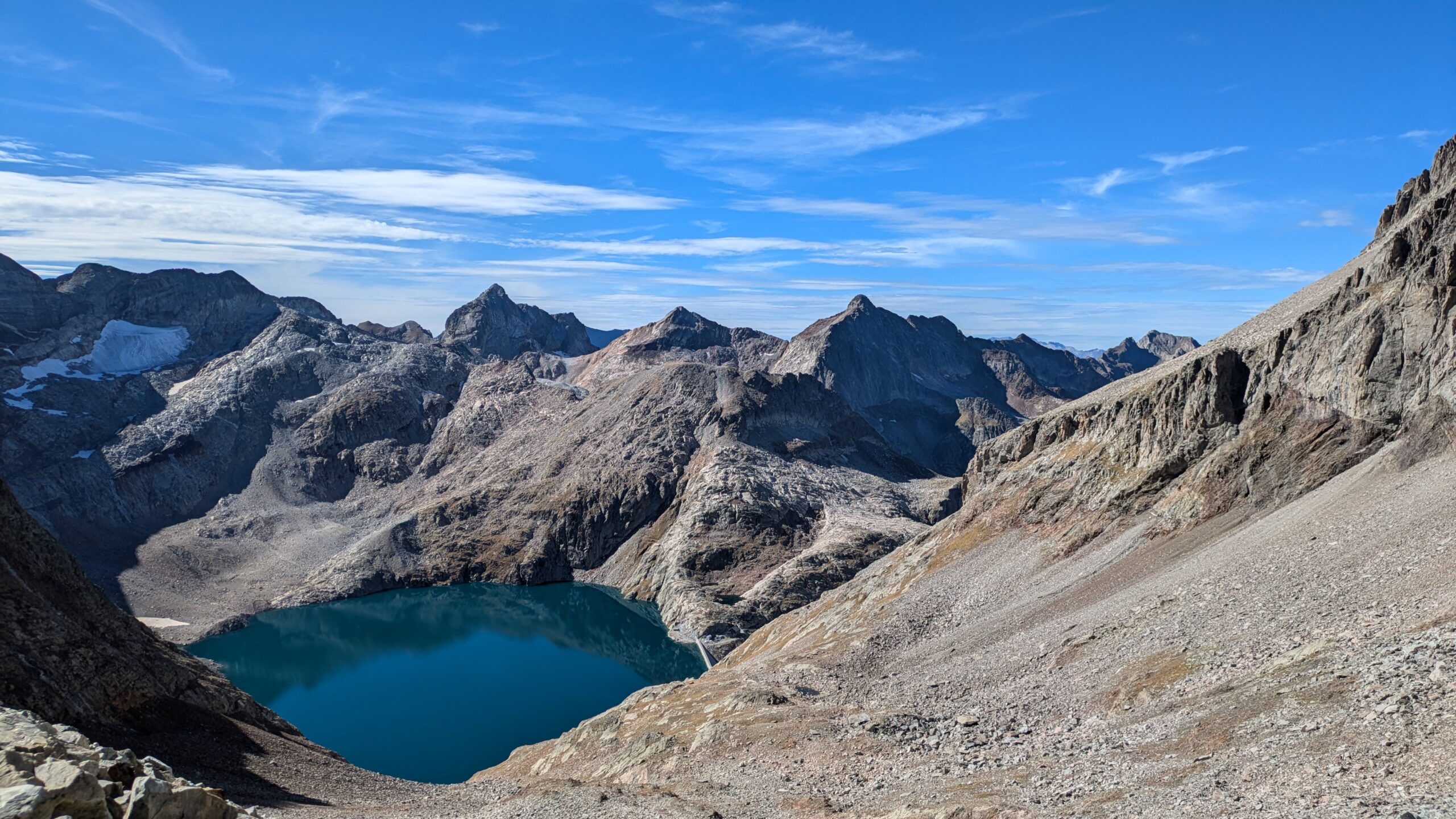
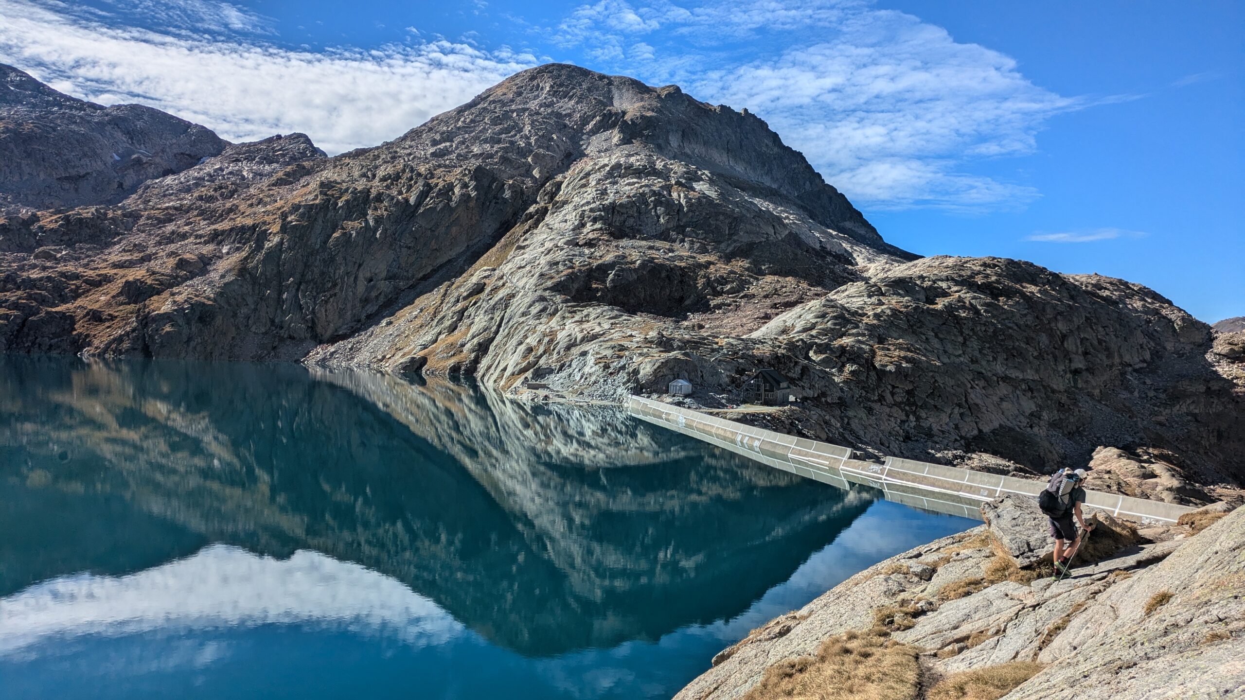
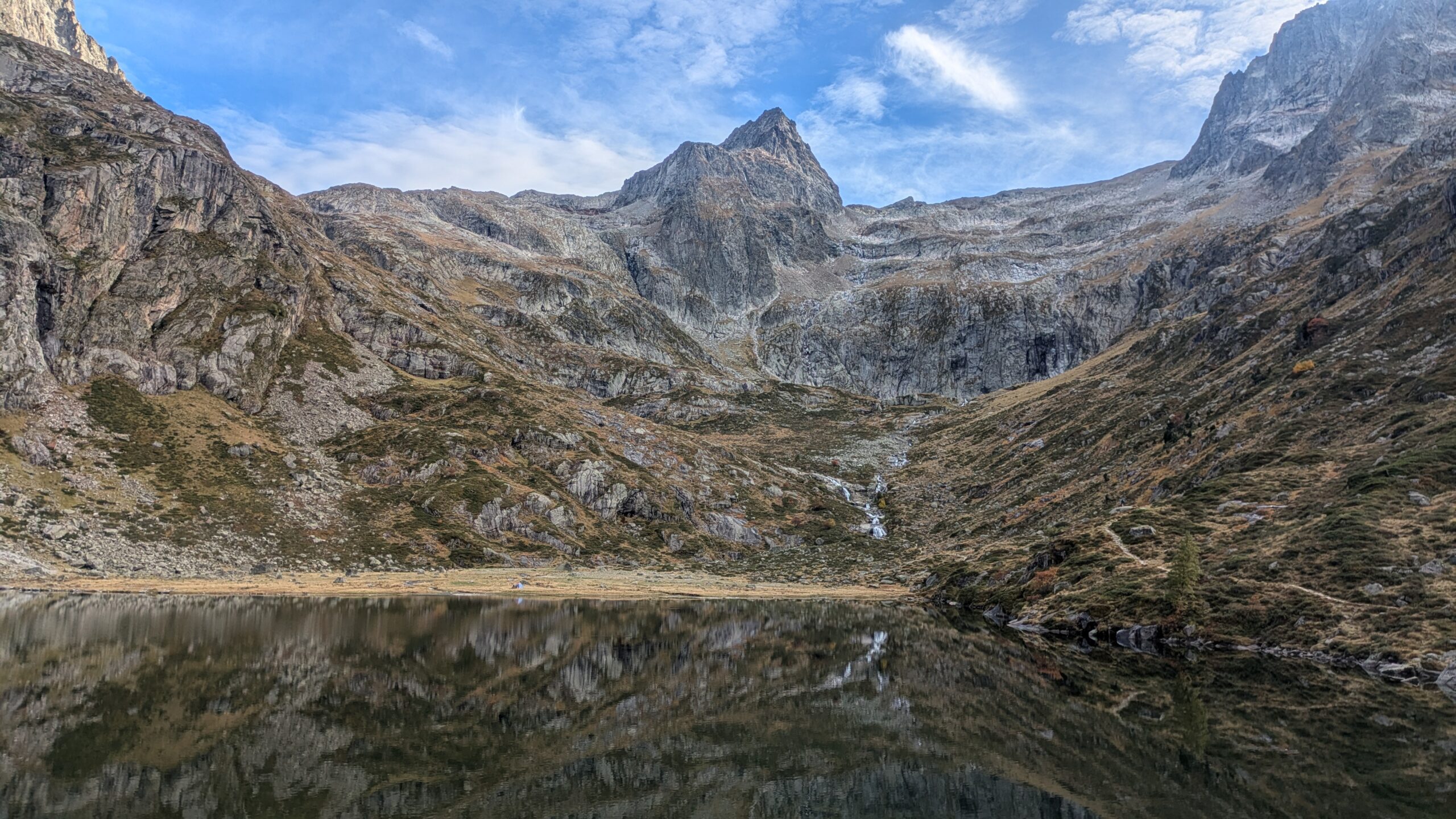
Stage 2 of the HexaTrek crosses the Northern Alps, from Savoie through the Beaufortain and into the Vanoise, over a distance of 382 km, to be completed in 15 to 30 days. With a positive elevation gain of 22,500 meters, this stage offers a deep immersion into alpine landscapes, featuring glaciers, high mountain lakes, and breathtaking panoramas. Beyond the majestic summits, this crossing also reveals the richness of the region, particularly through its cheeses and local traditions.
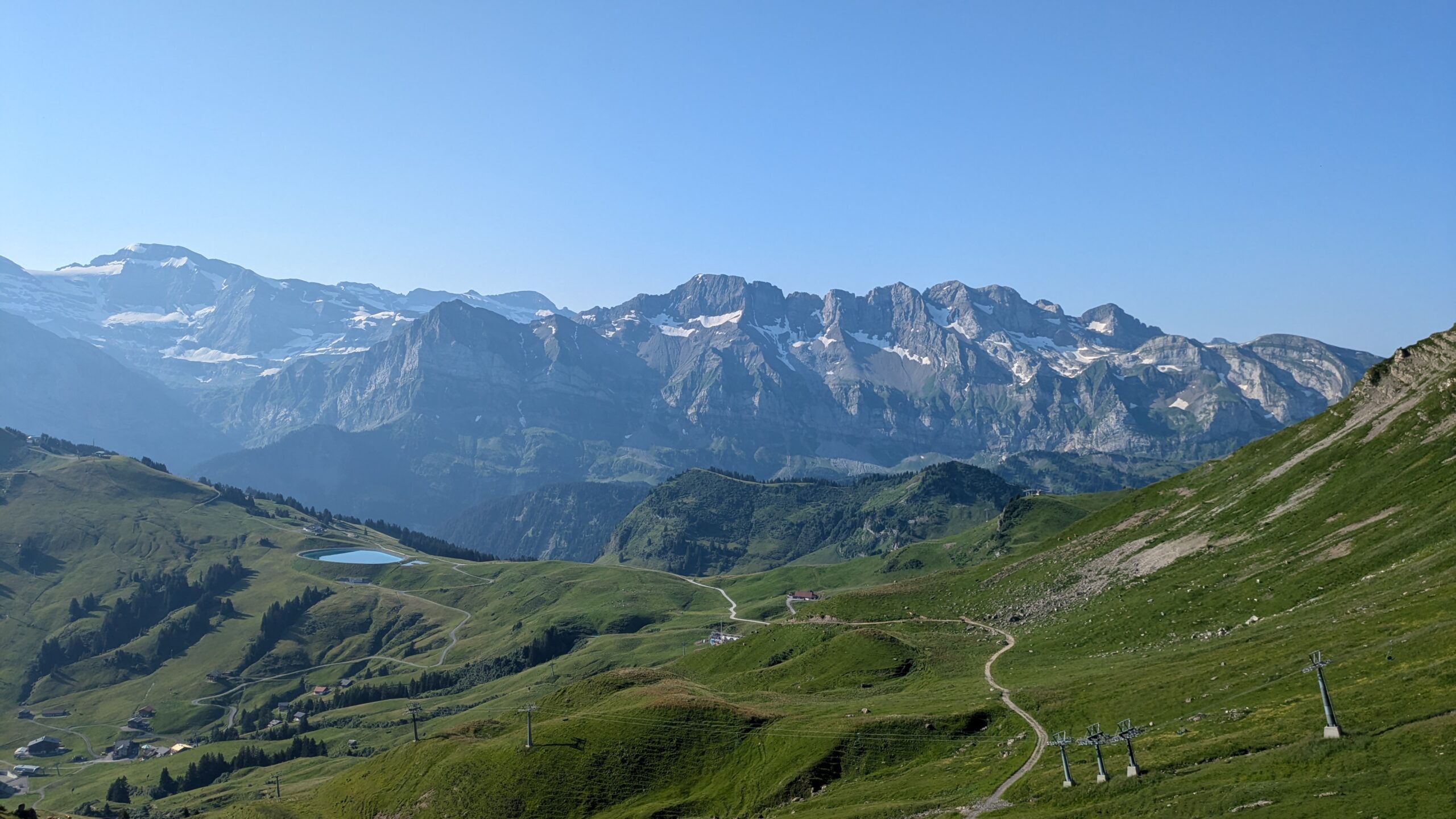
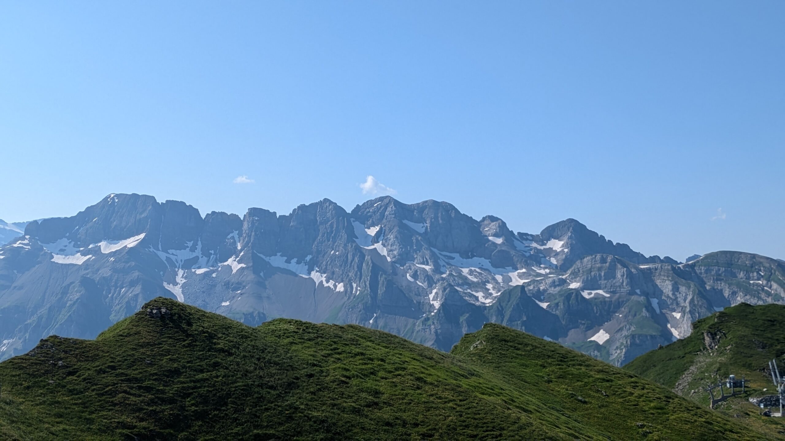
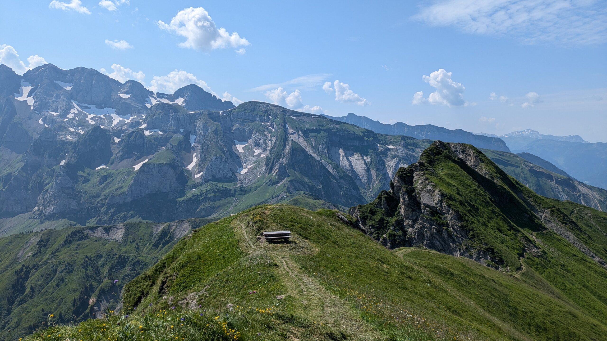
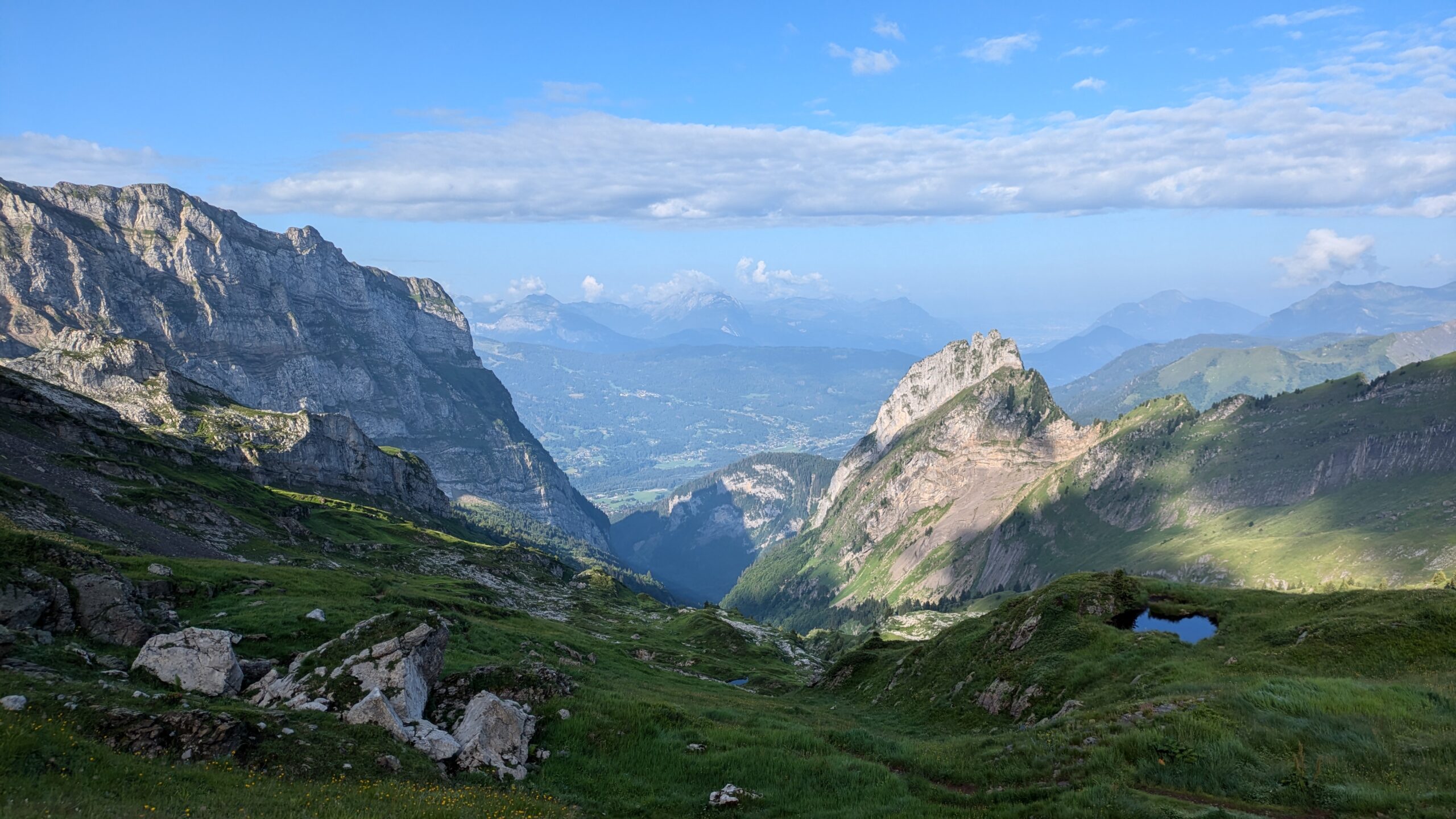
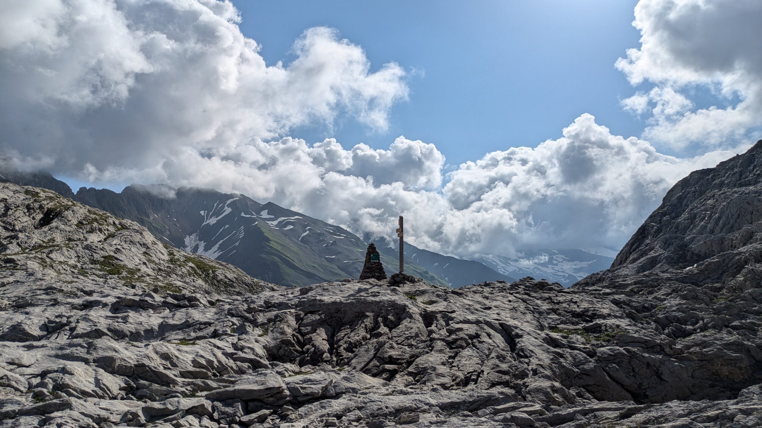
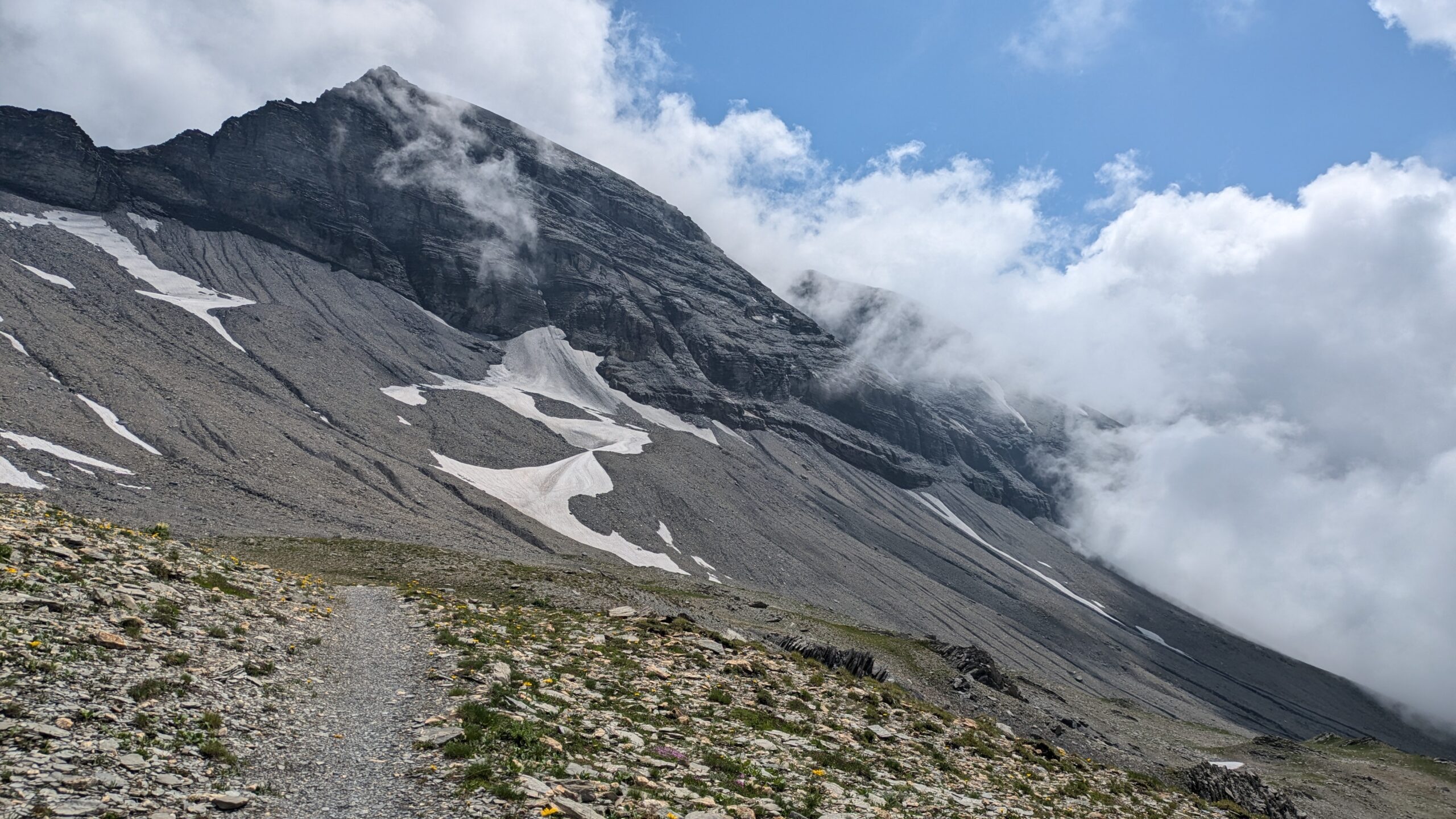
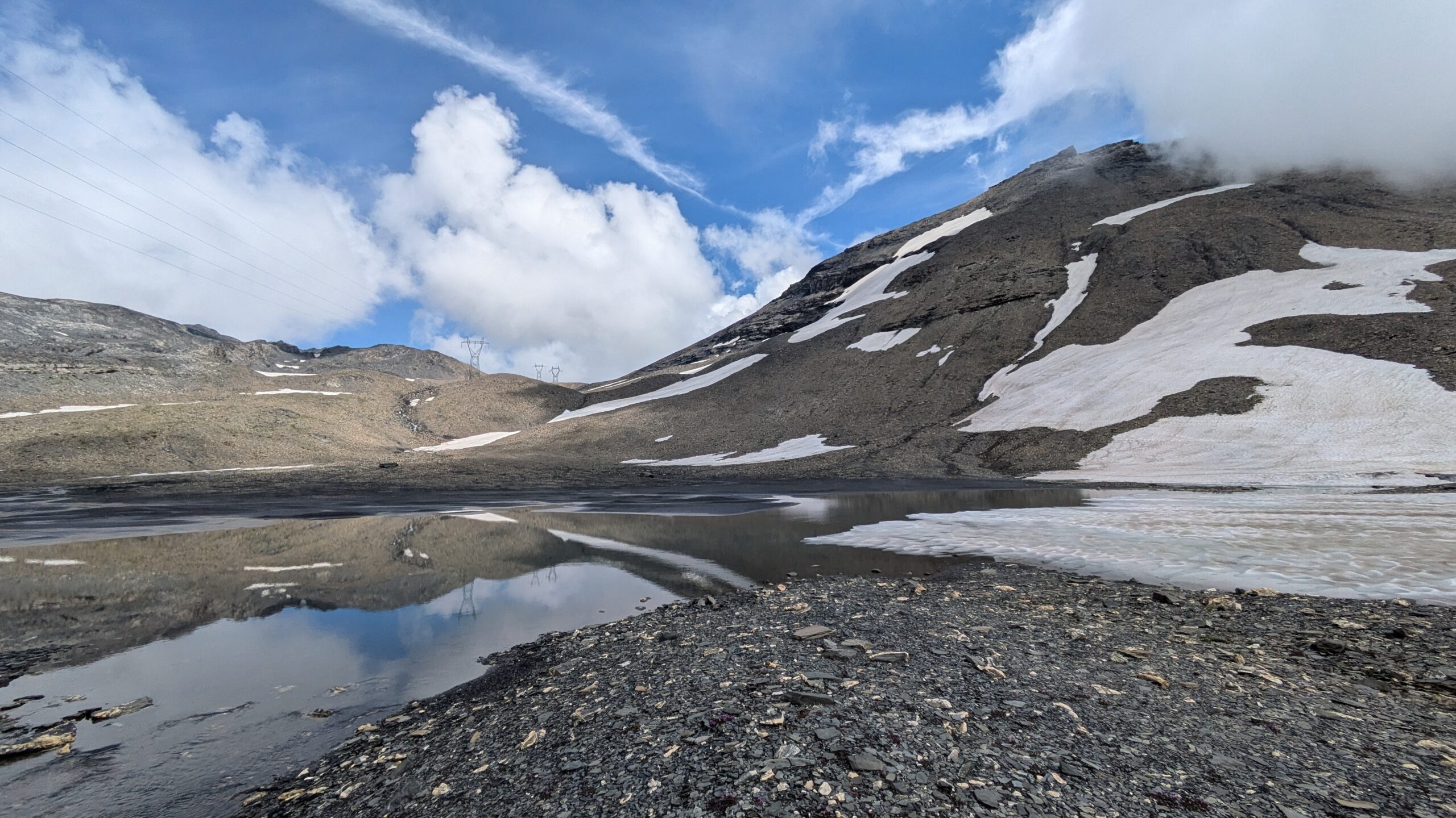
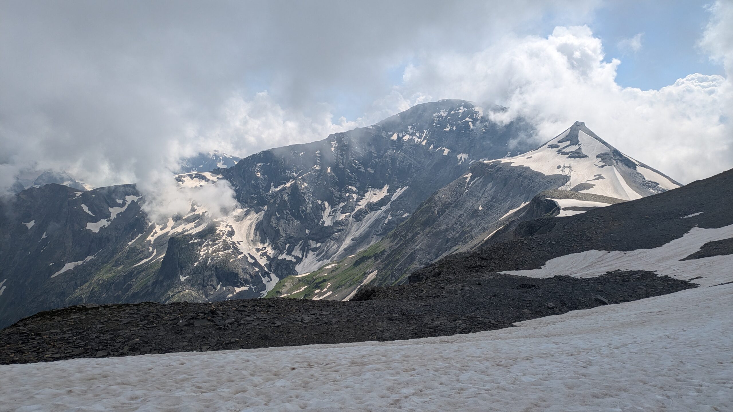


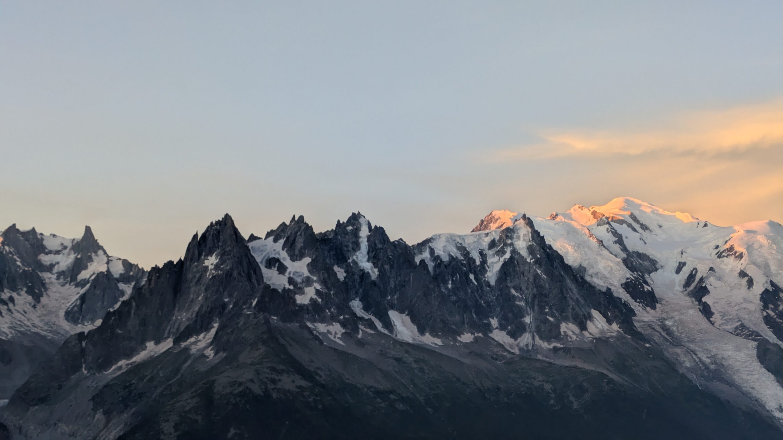
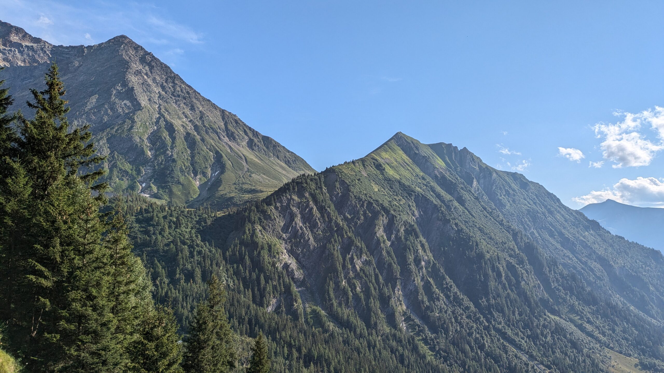
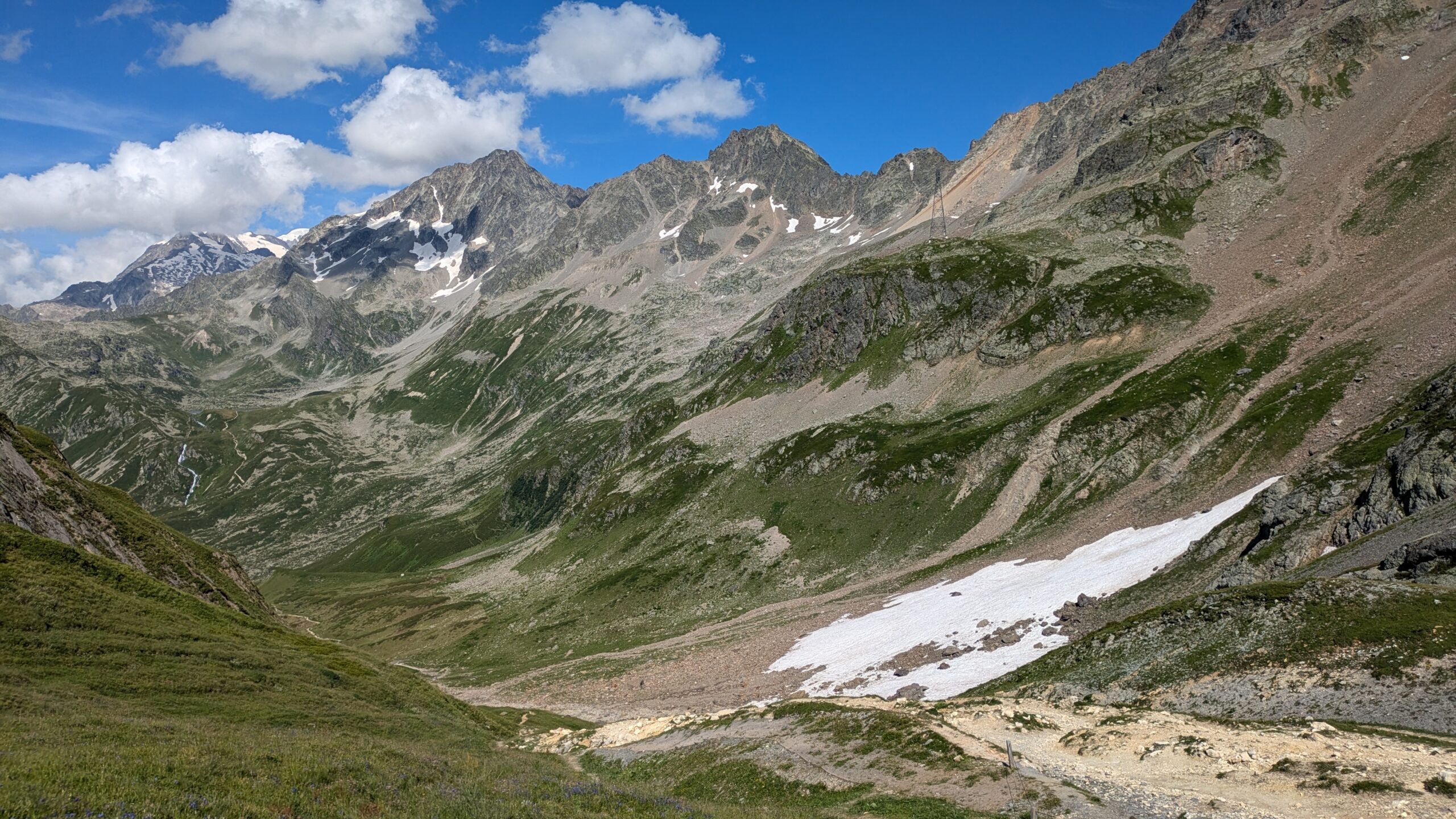
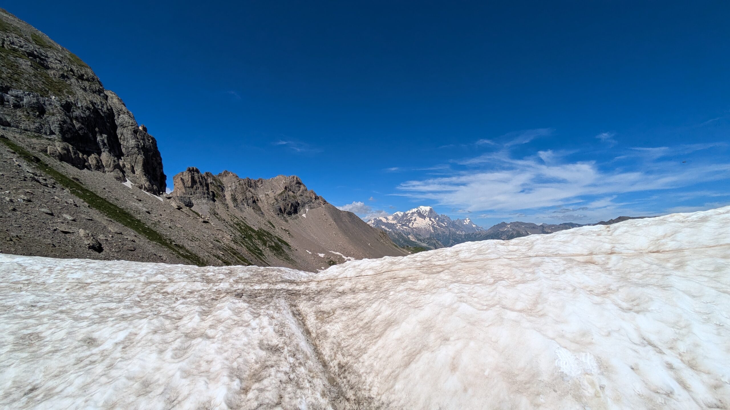
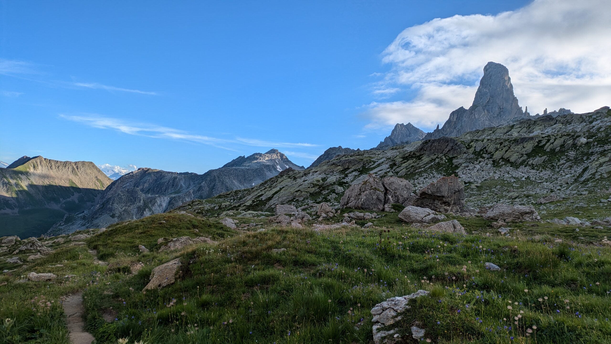
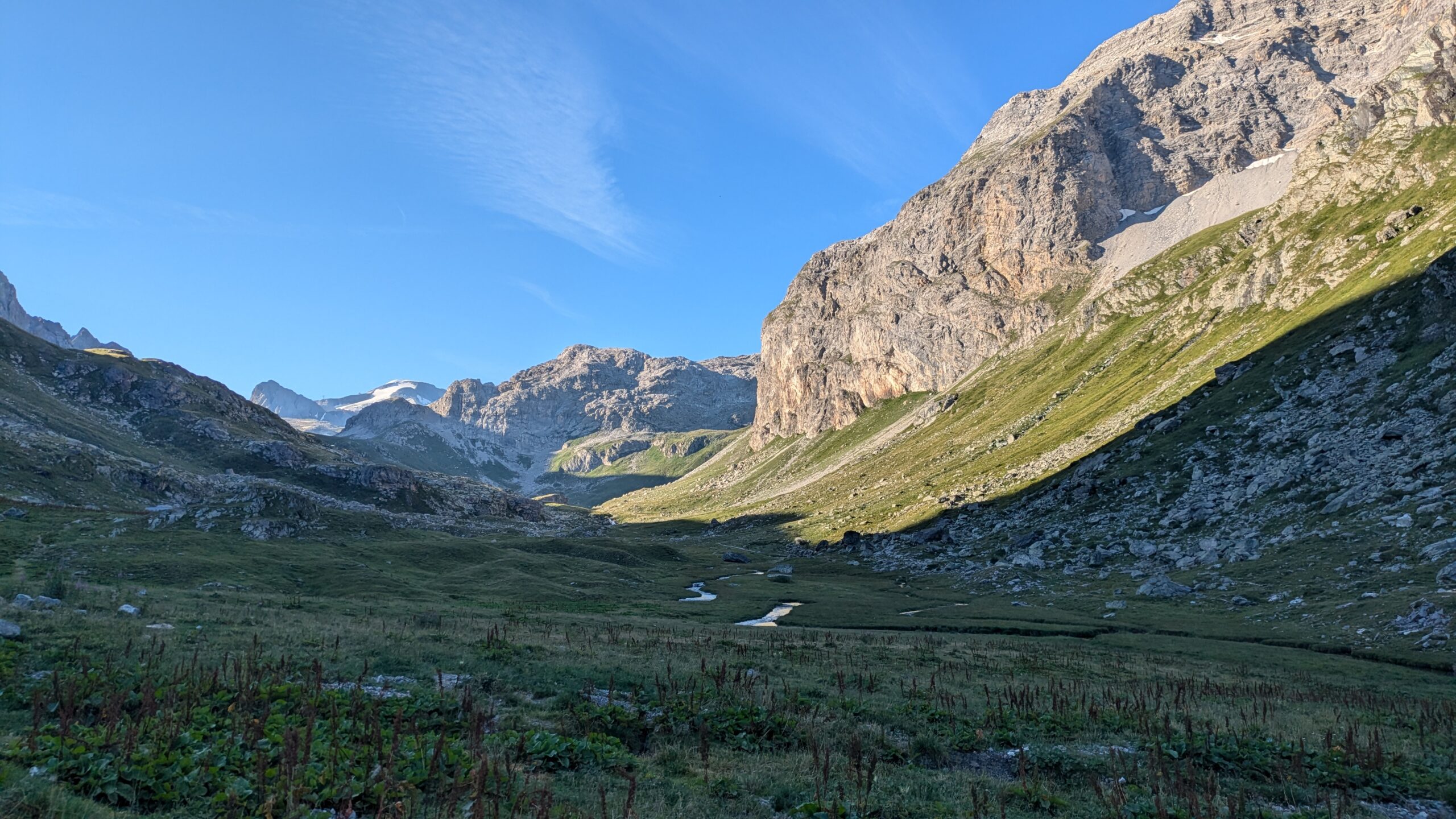
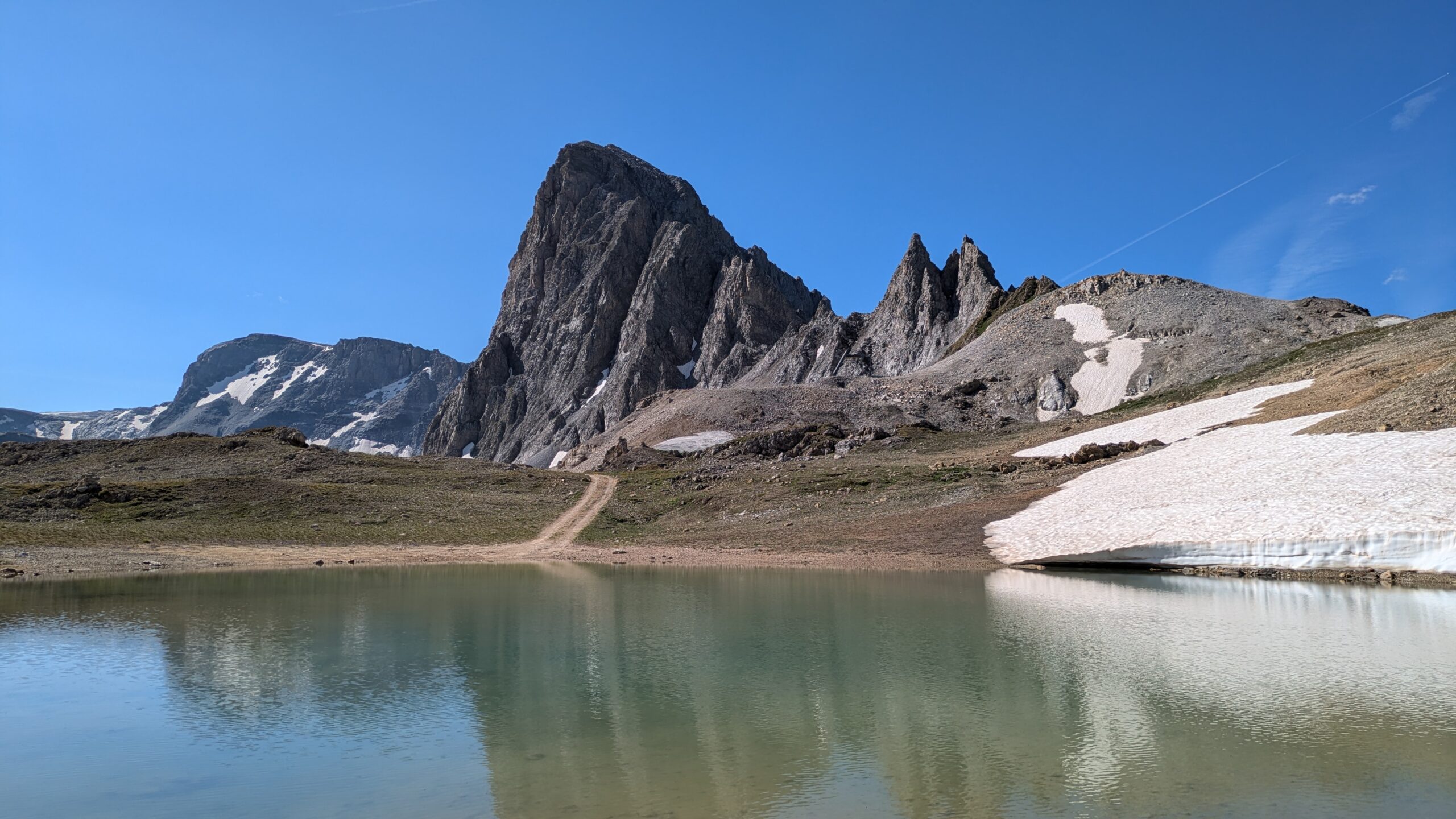
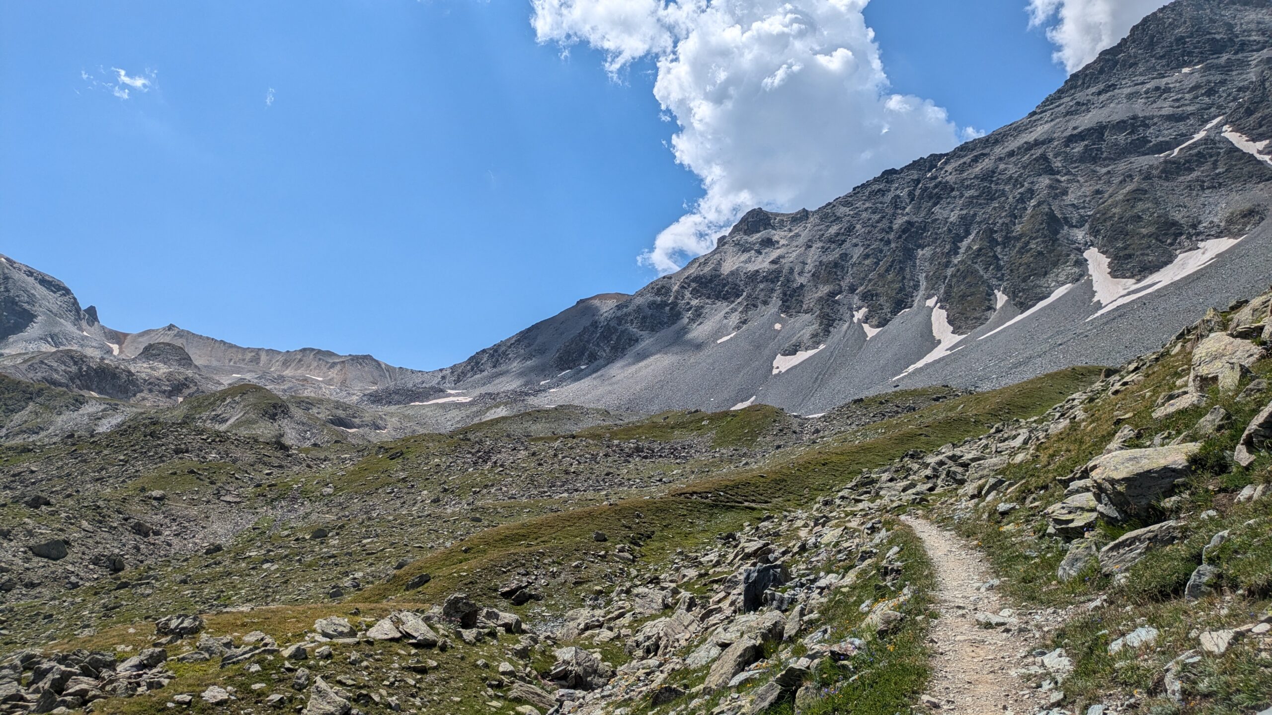
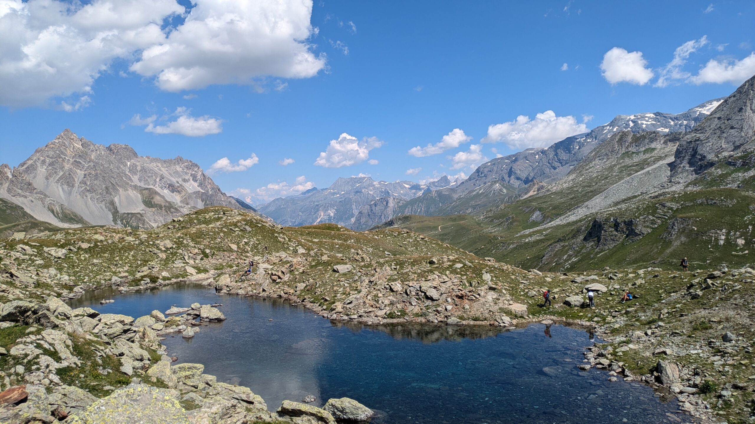
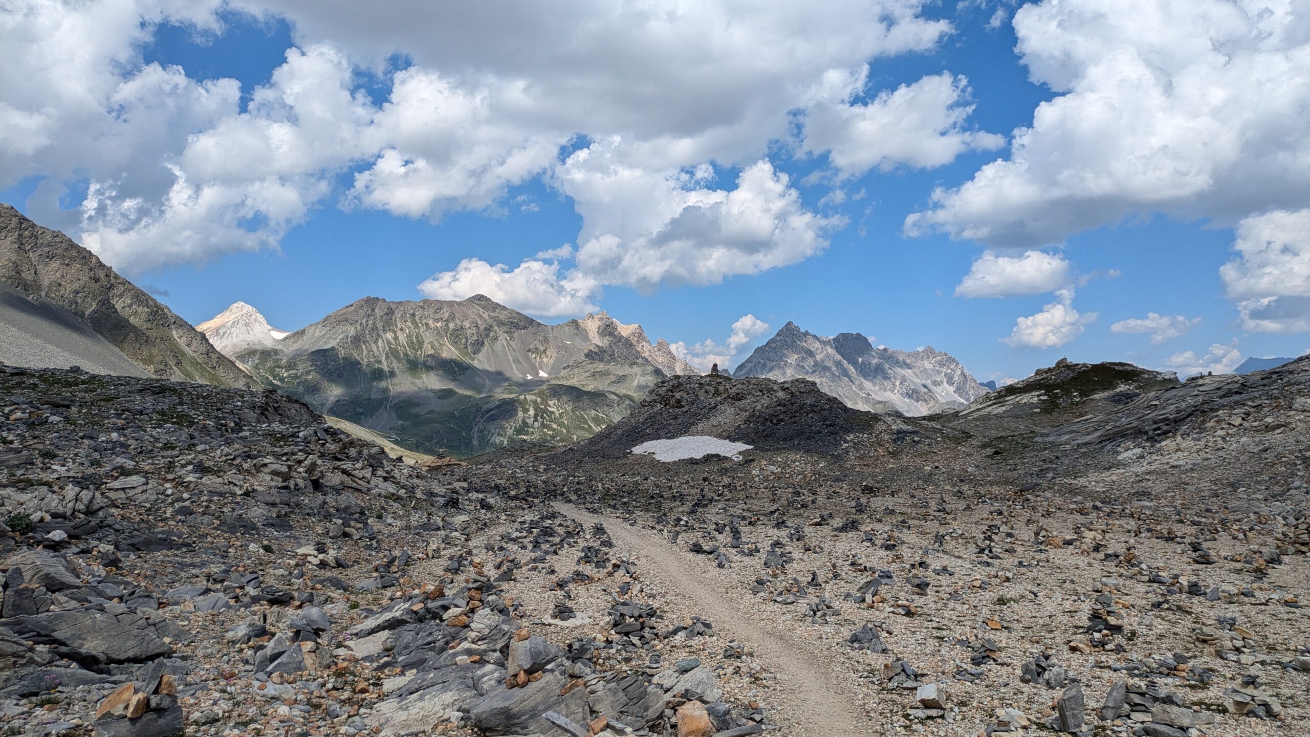

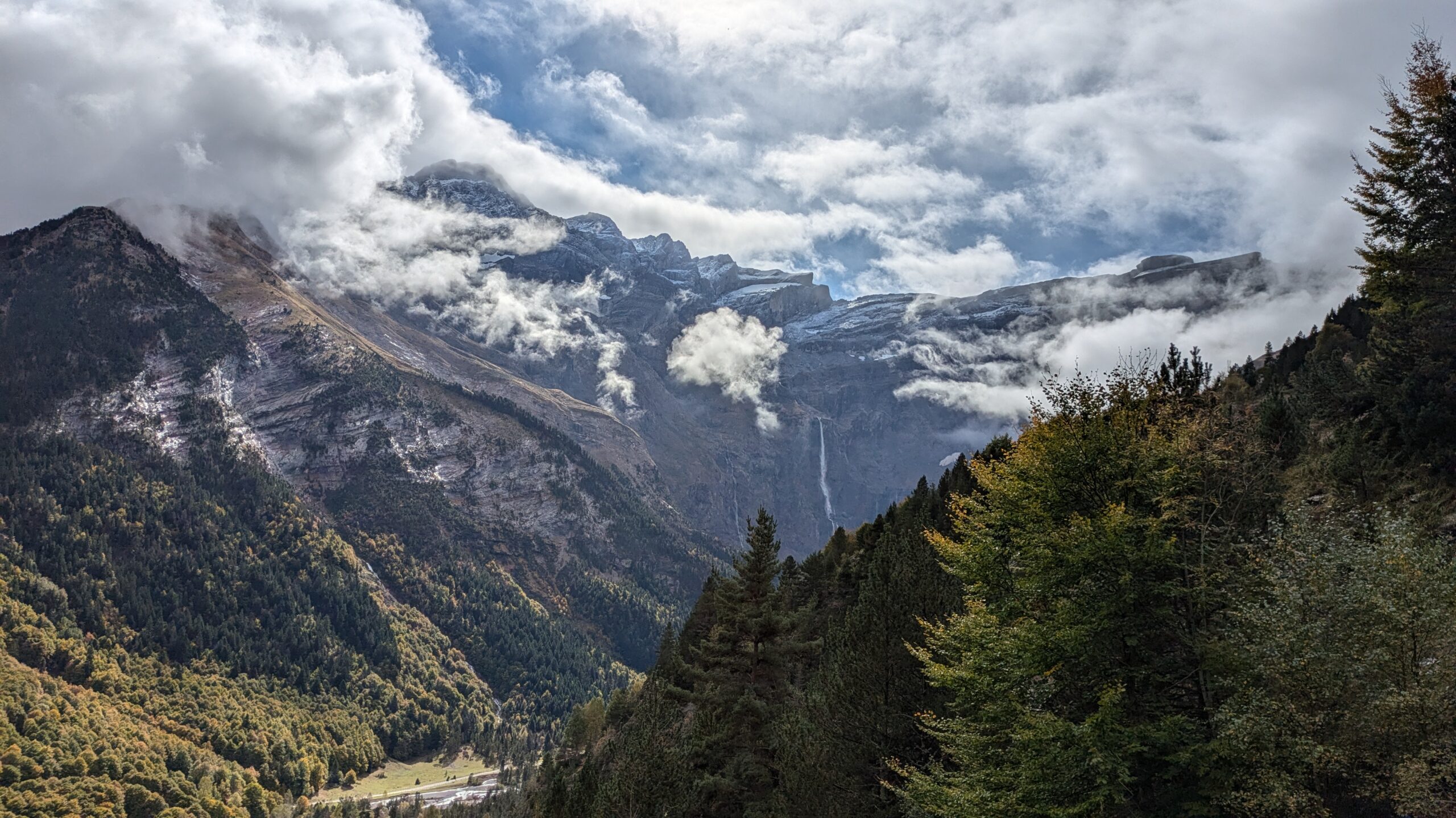
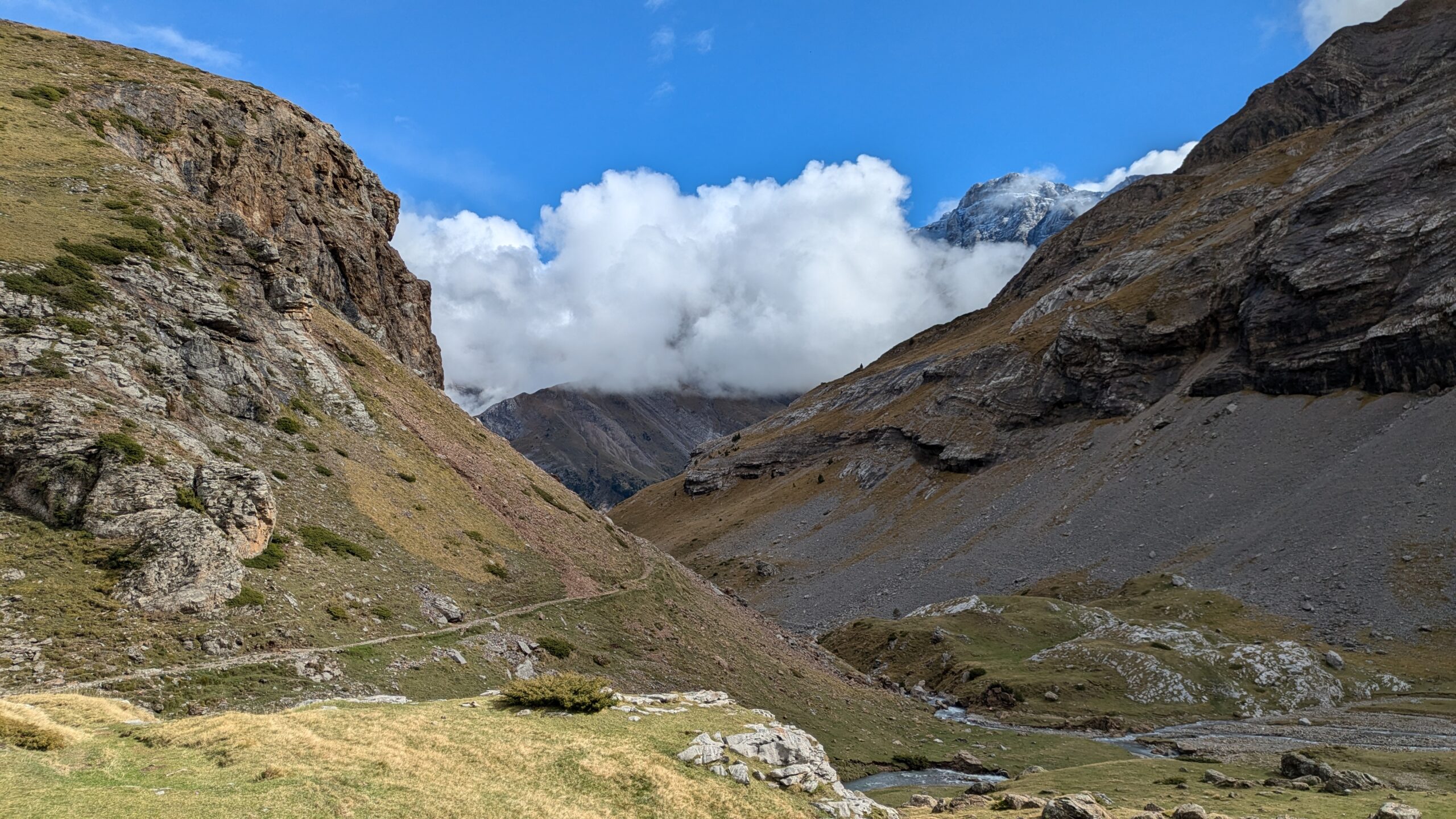
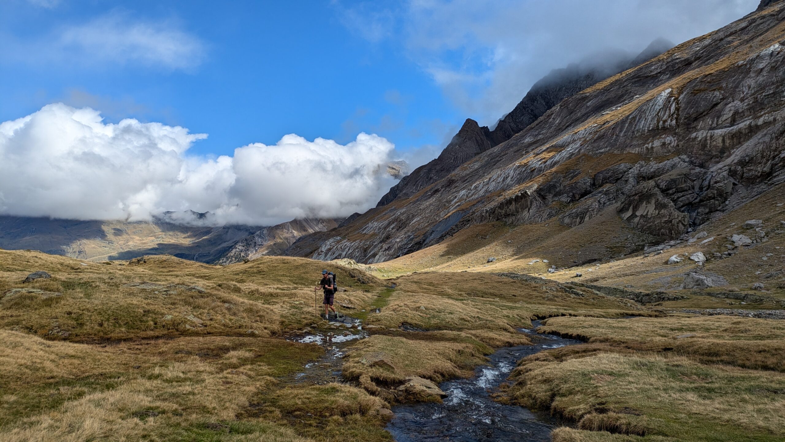
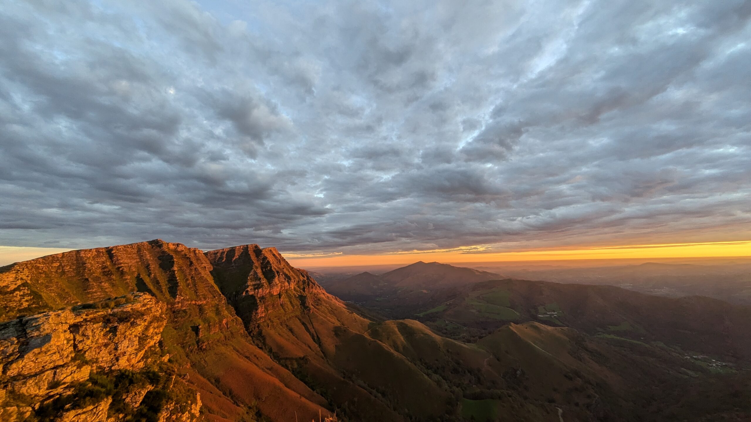
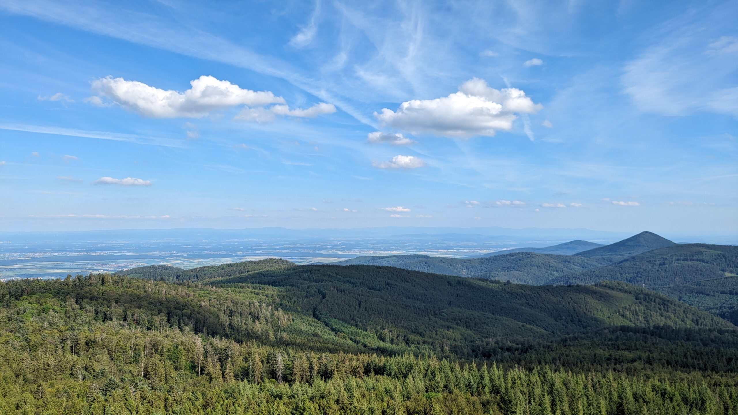
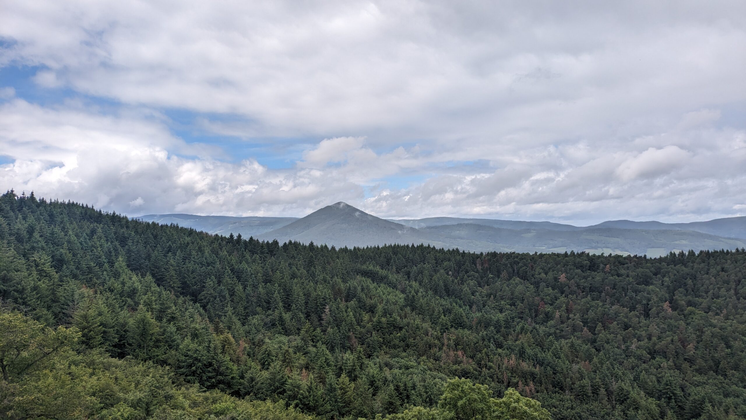
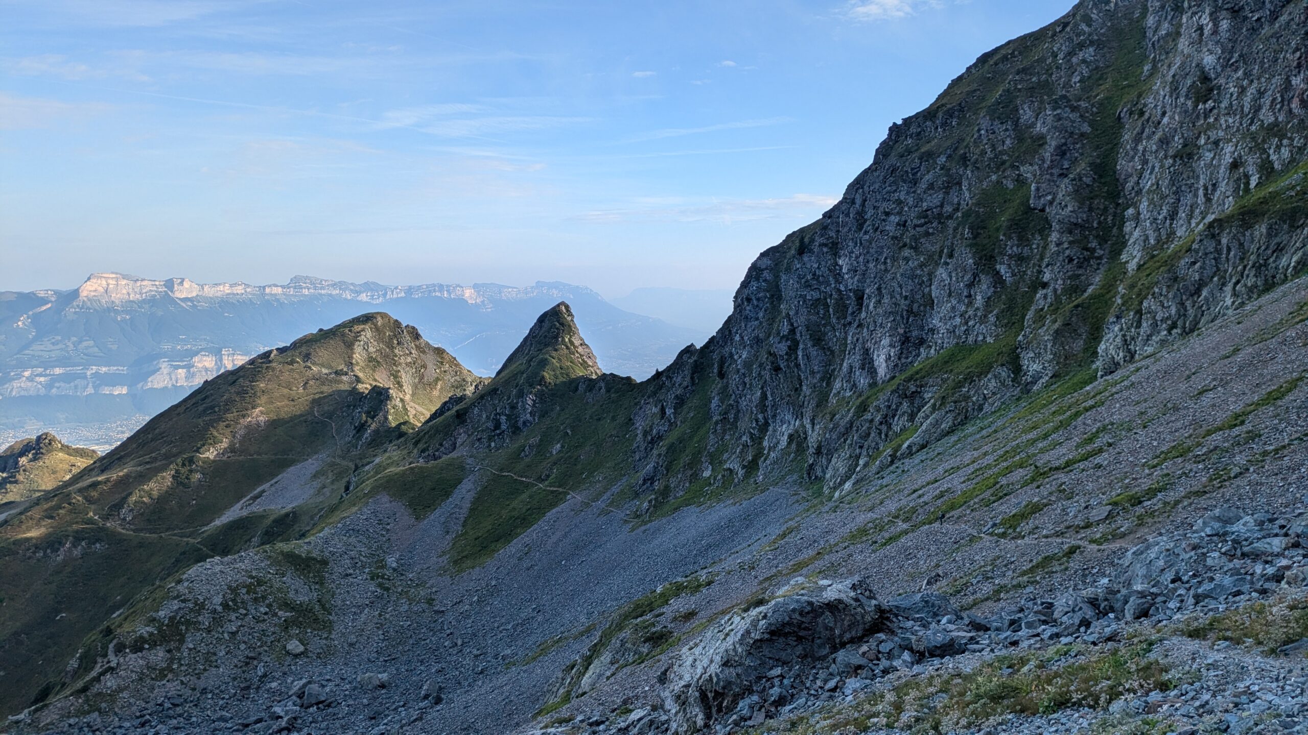
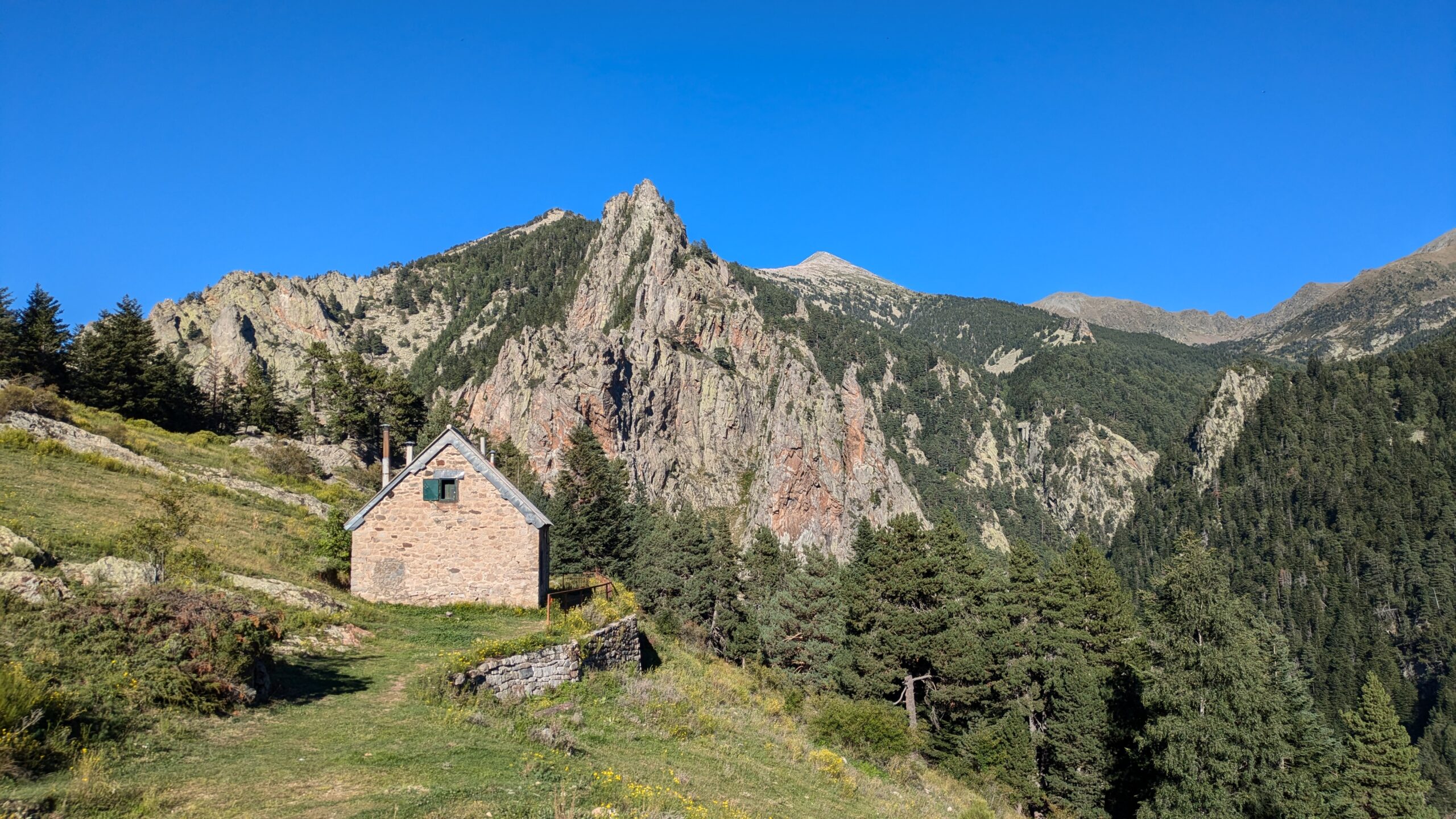
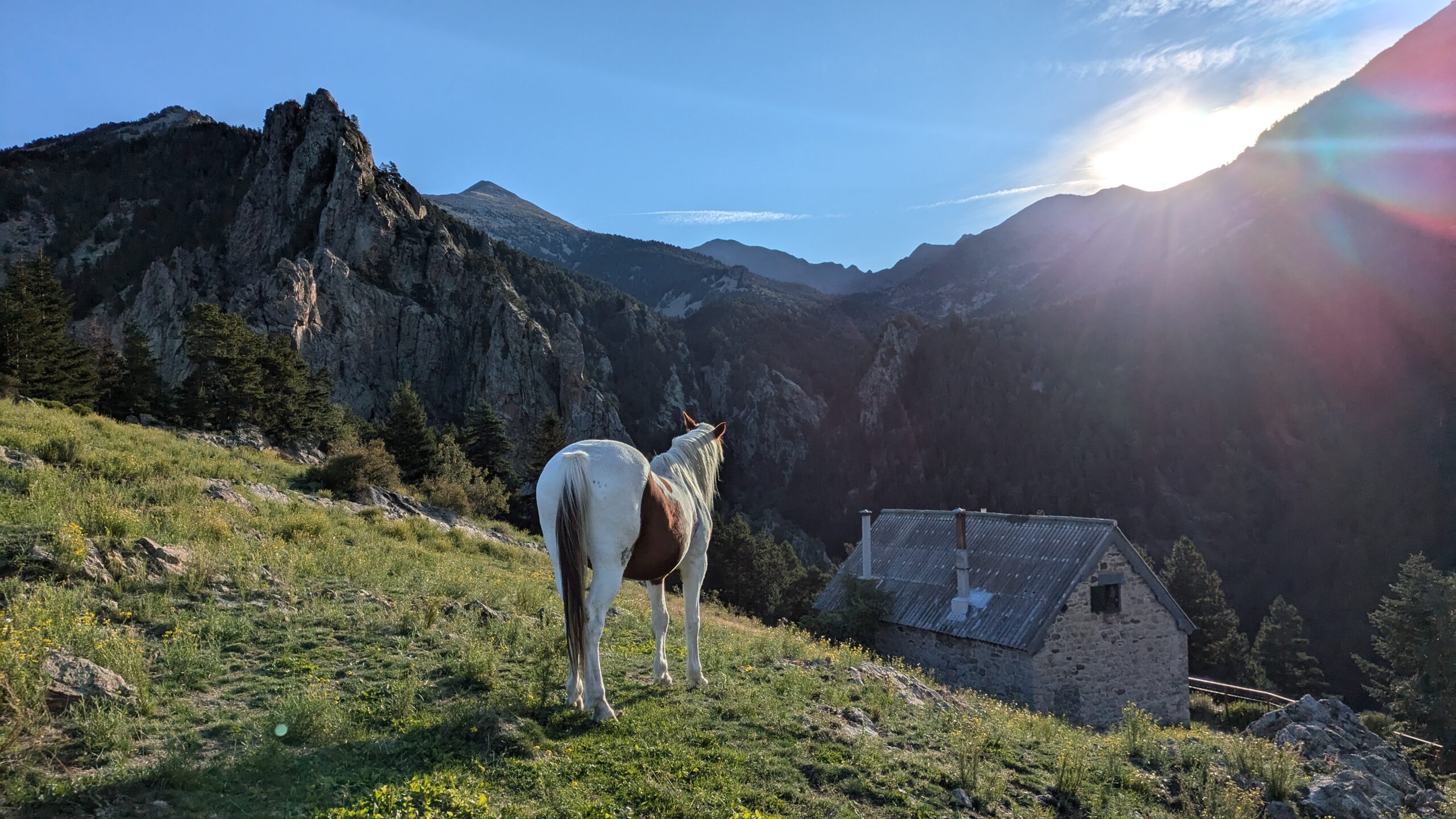
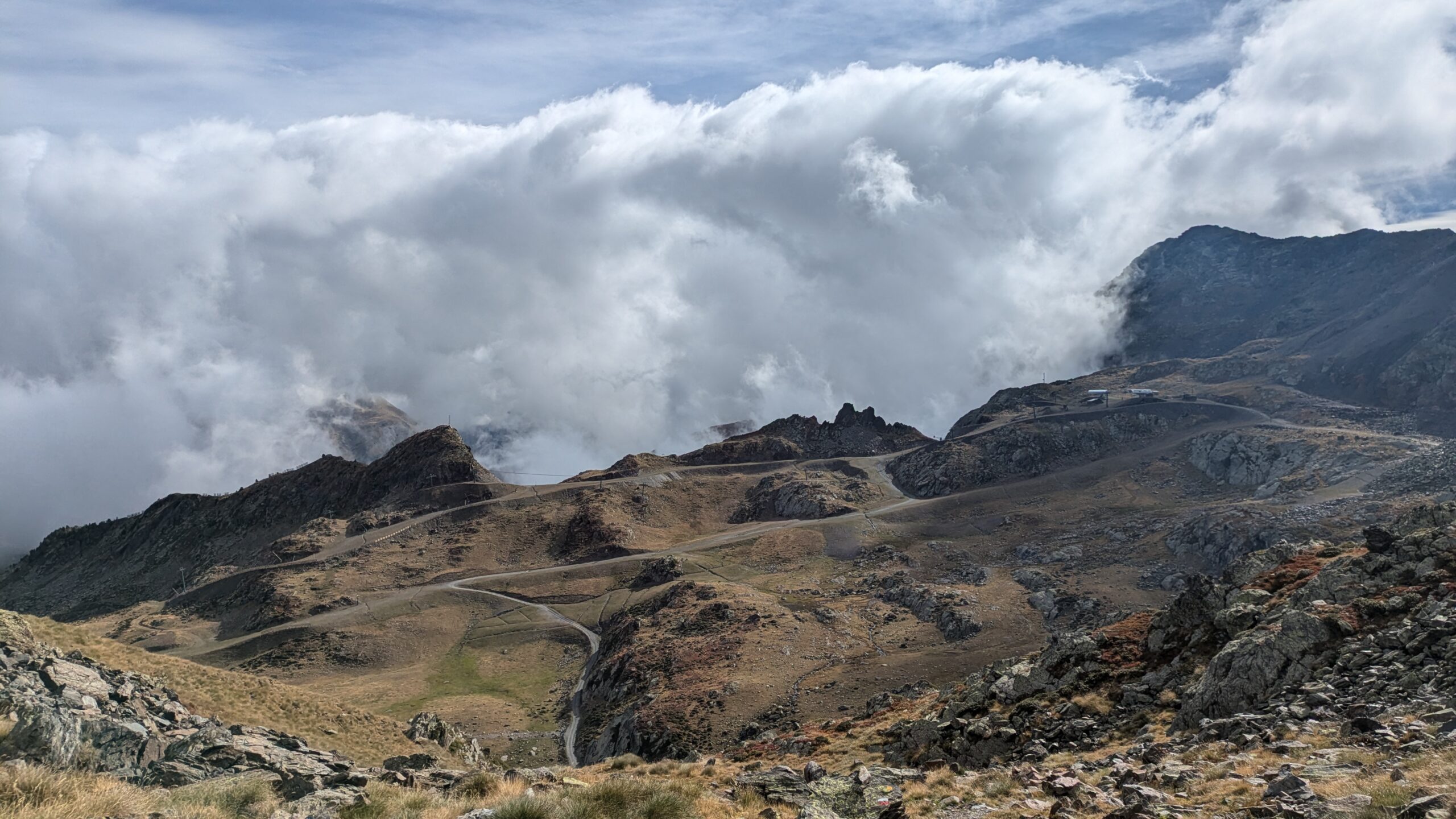
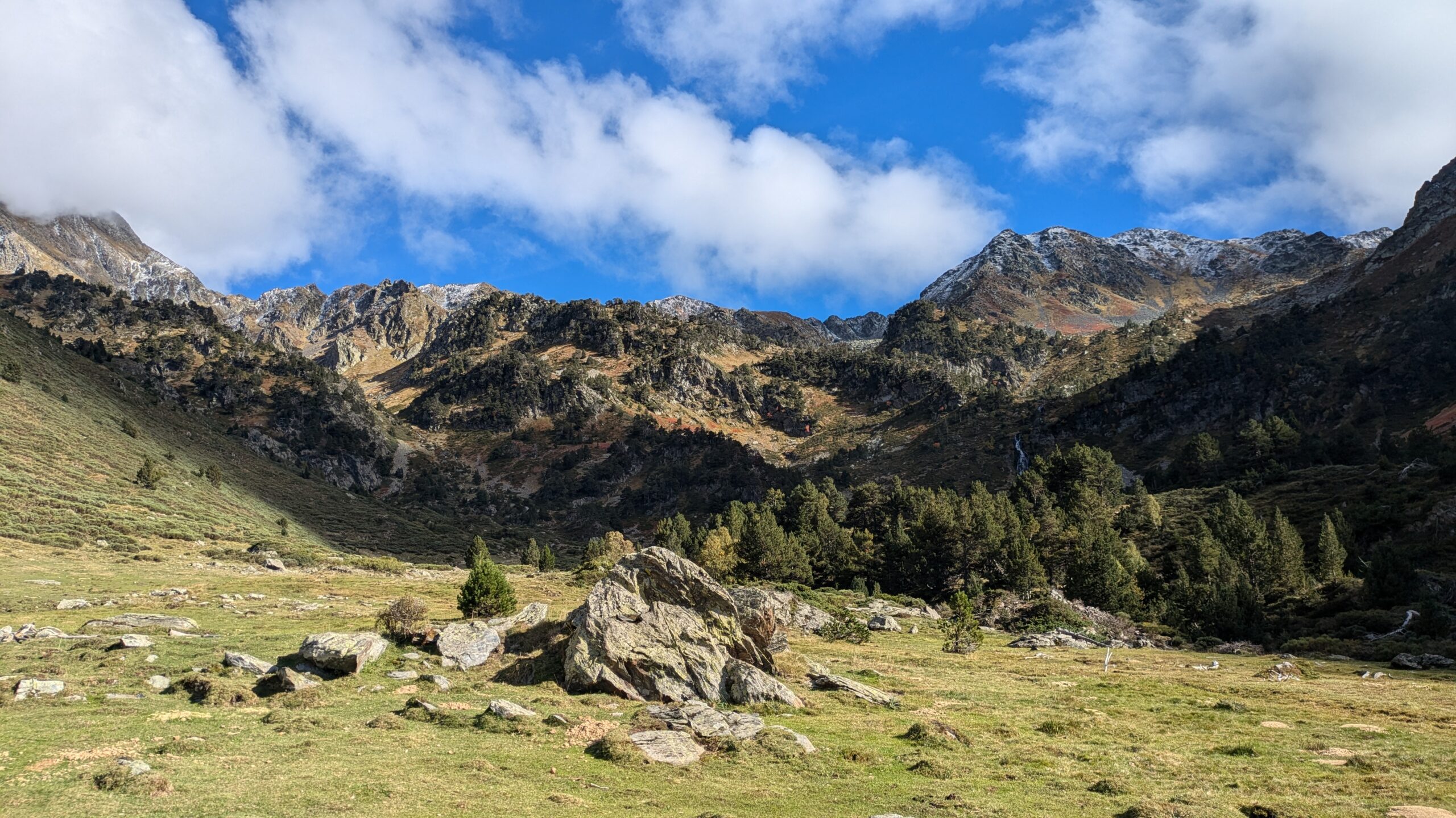
Stage 3: Hautes Alpes
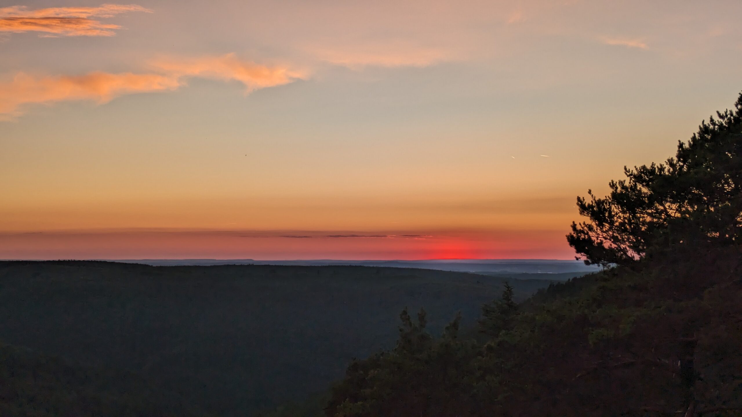
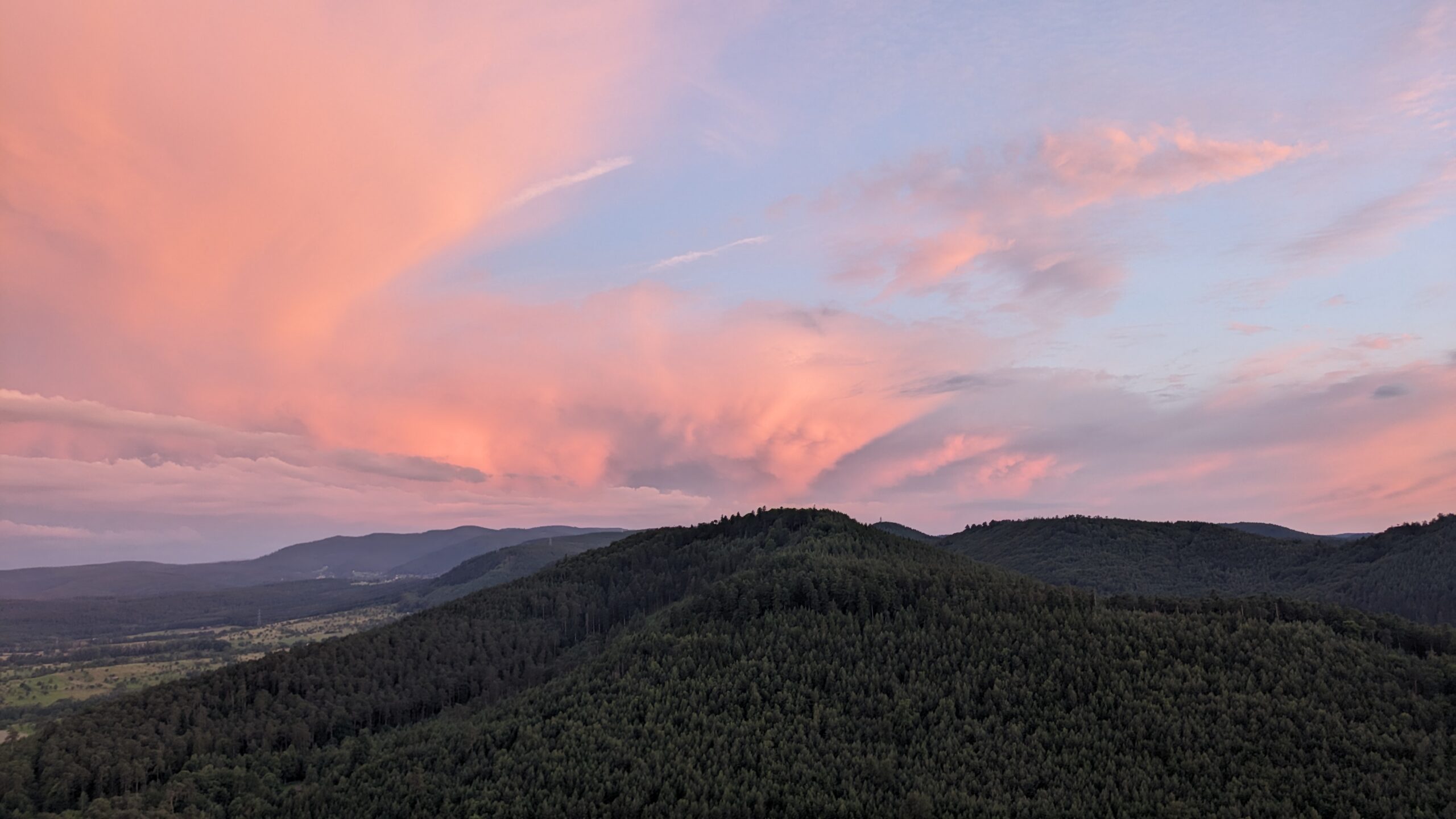
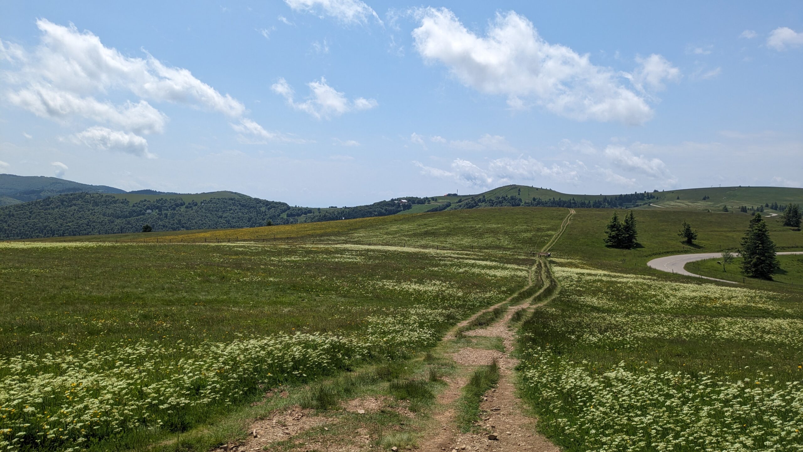
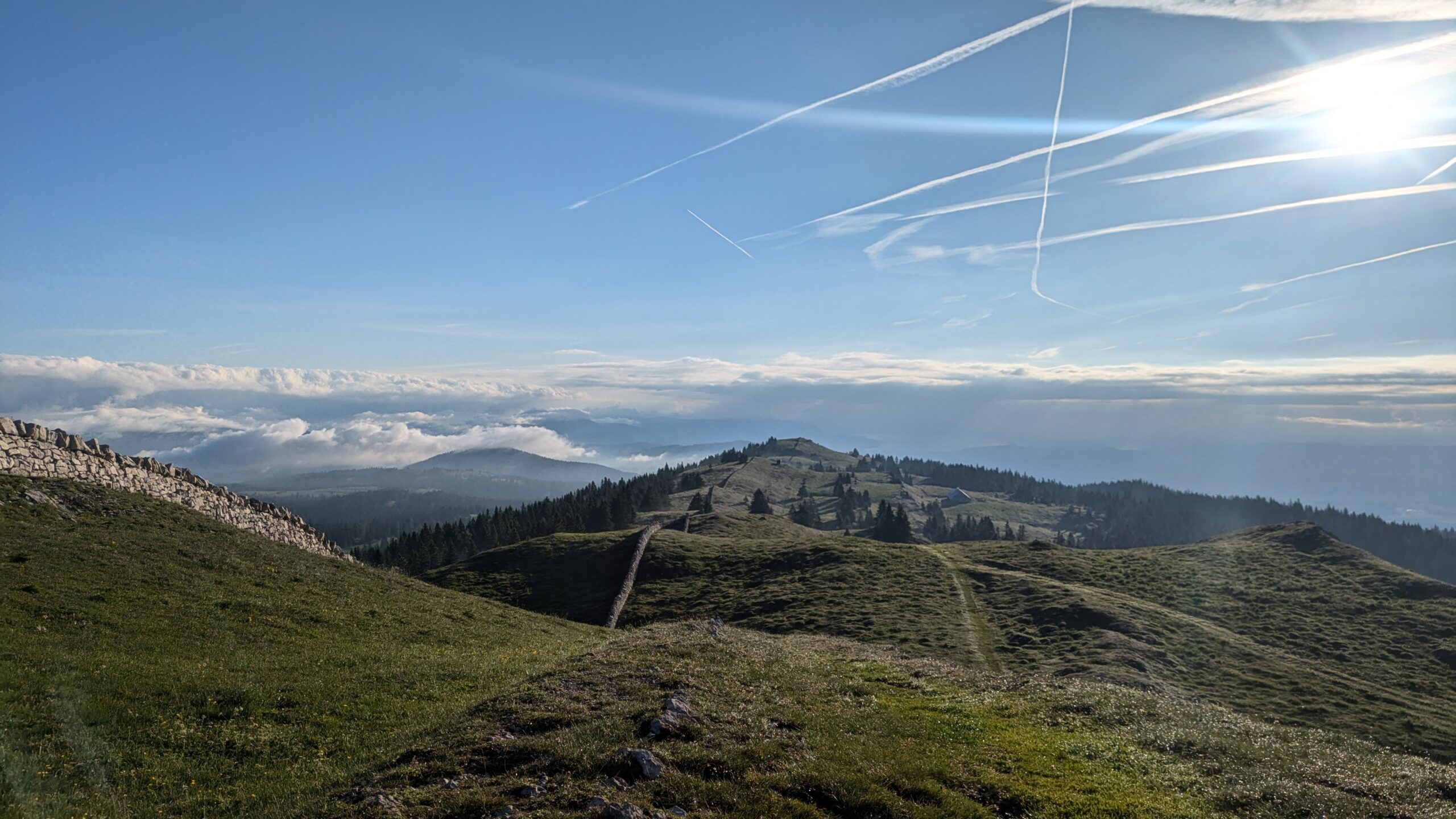
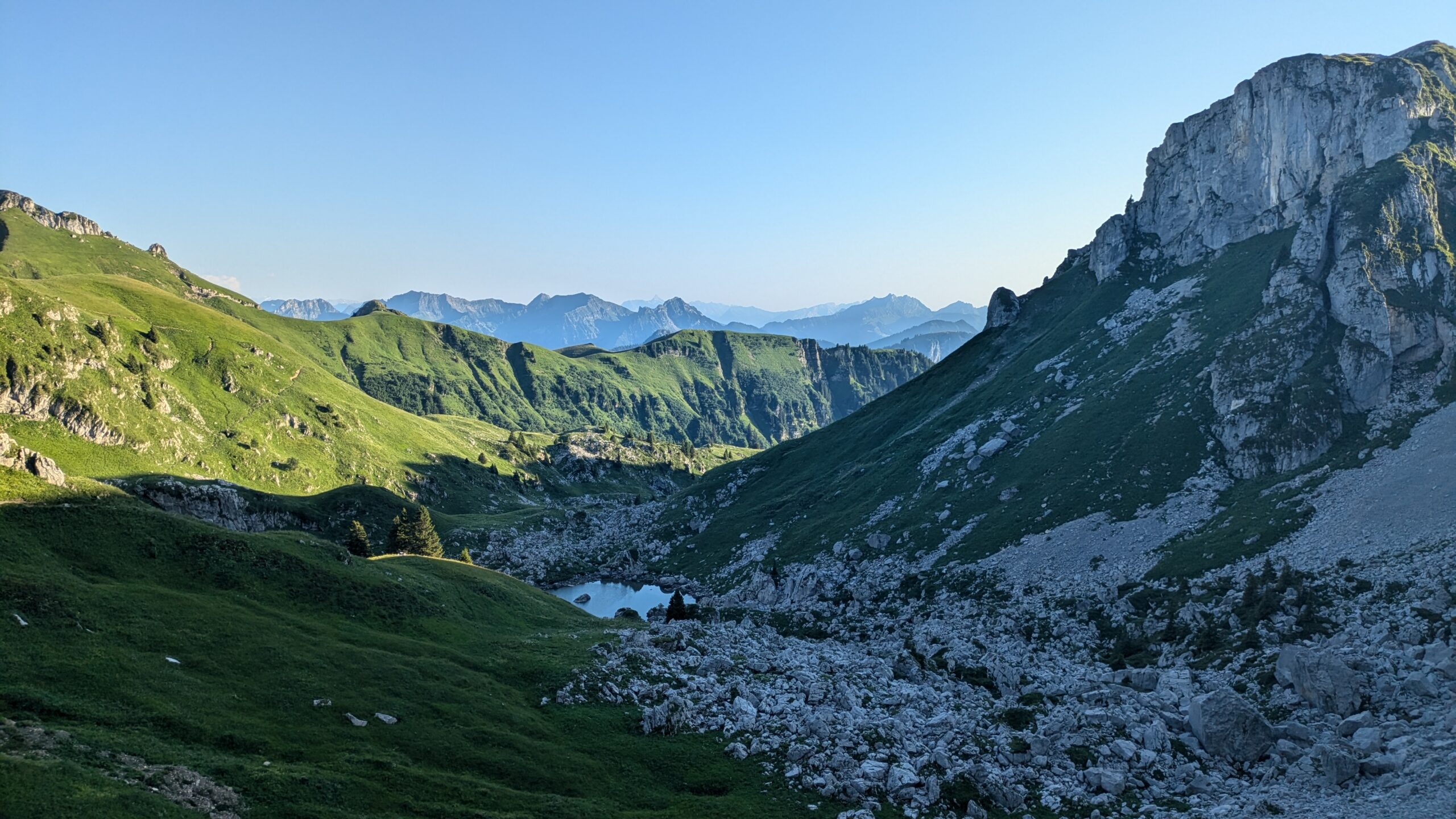
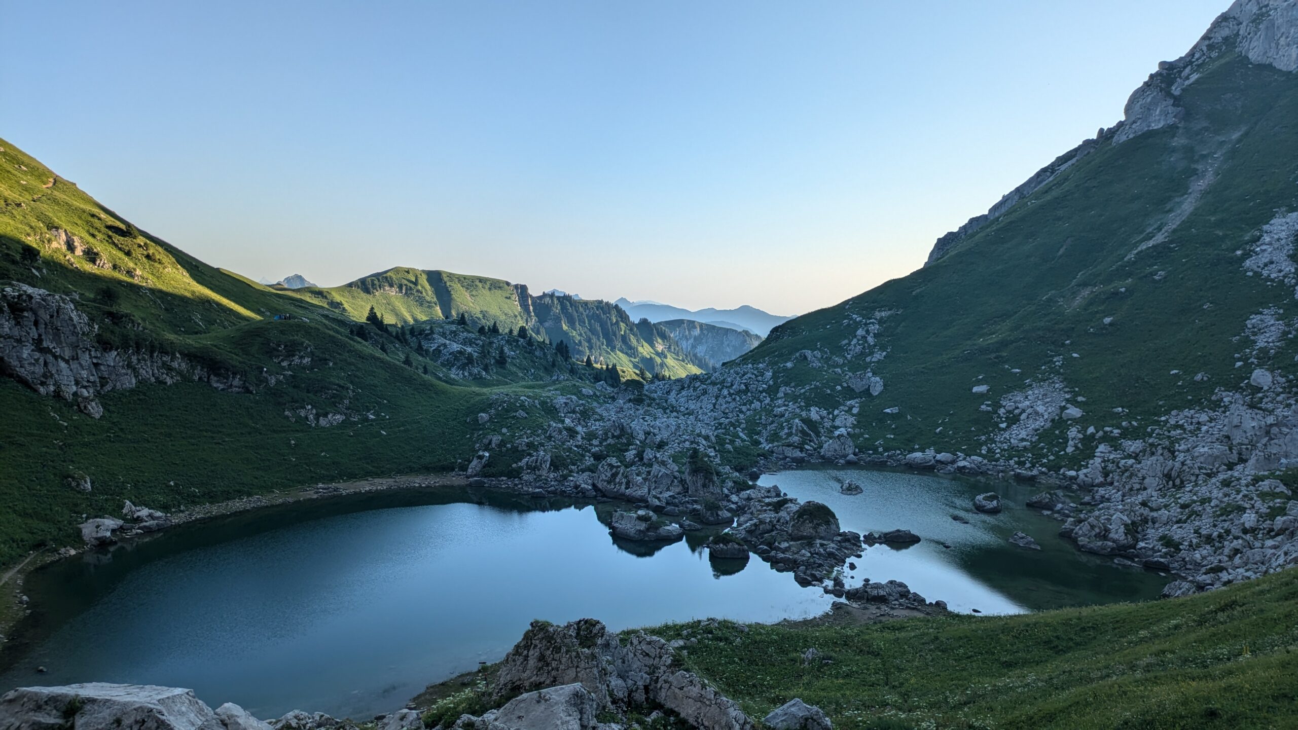
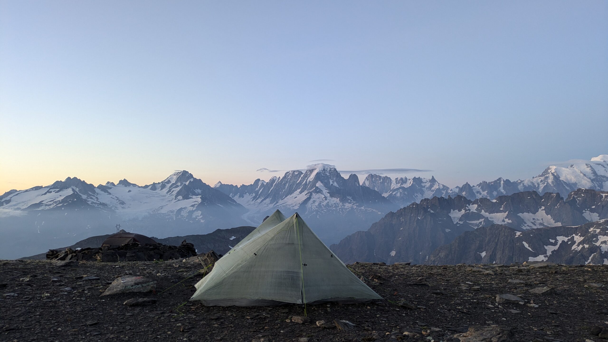
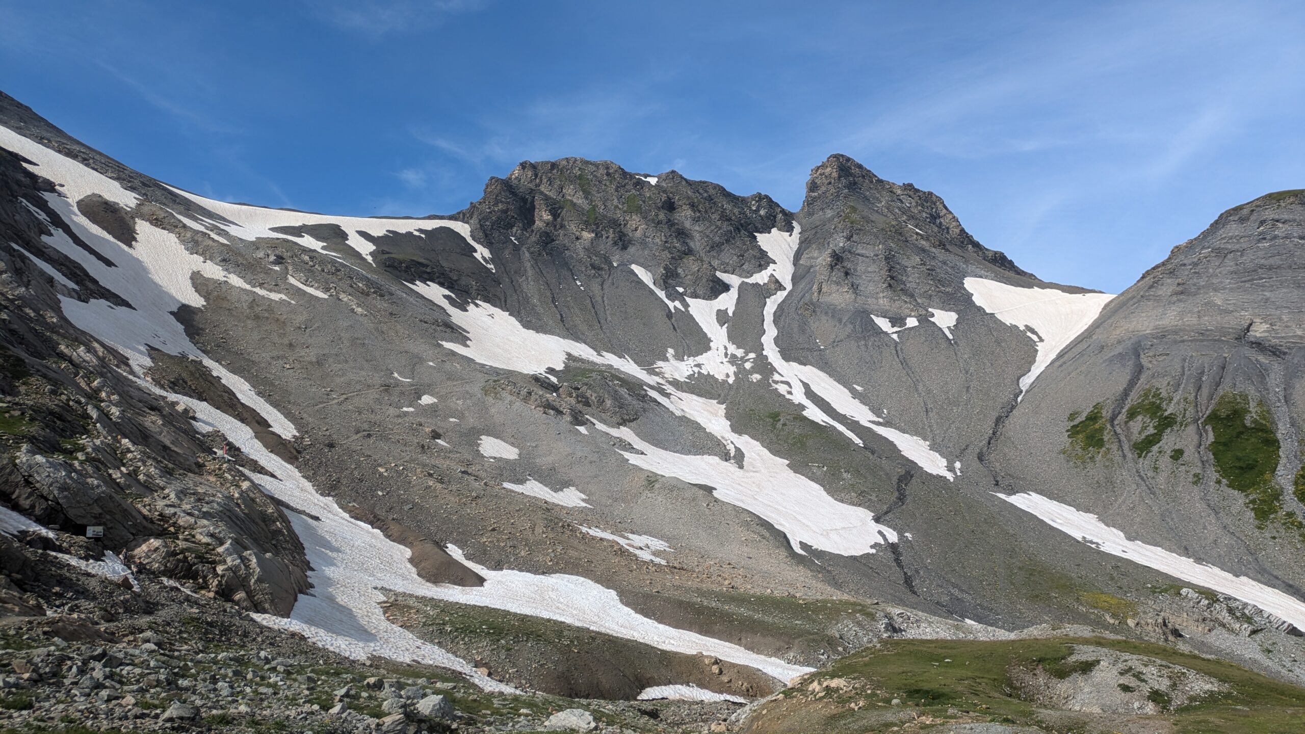
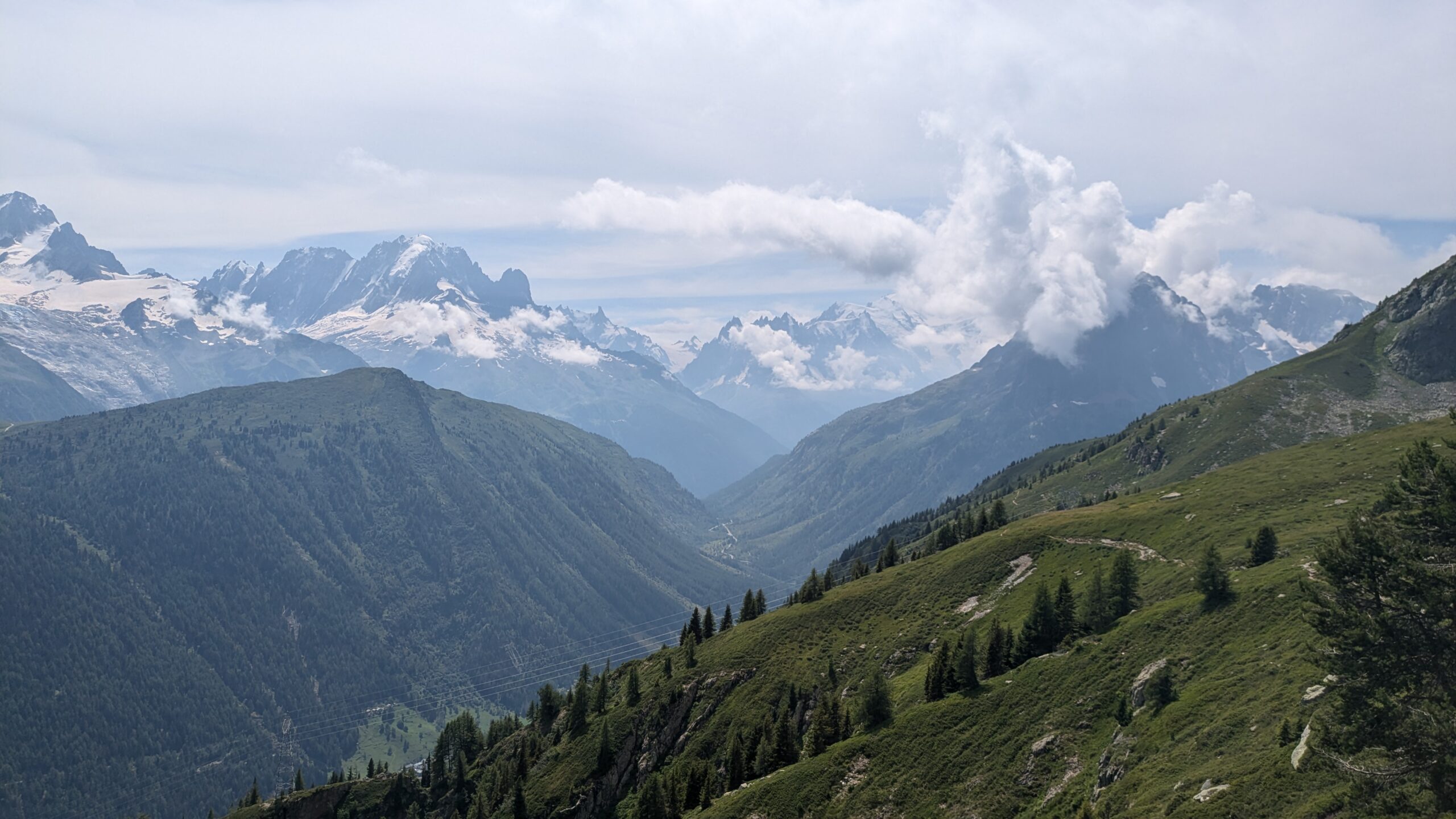
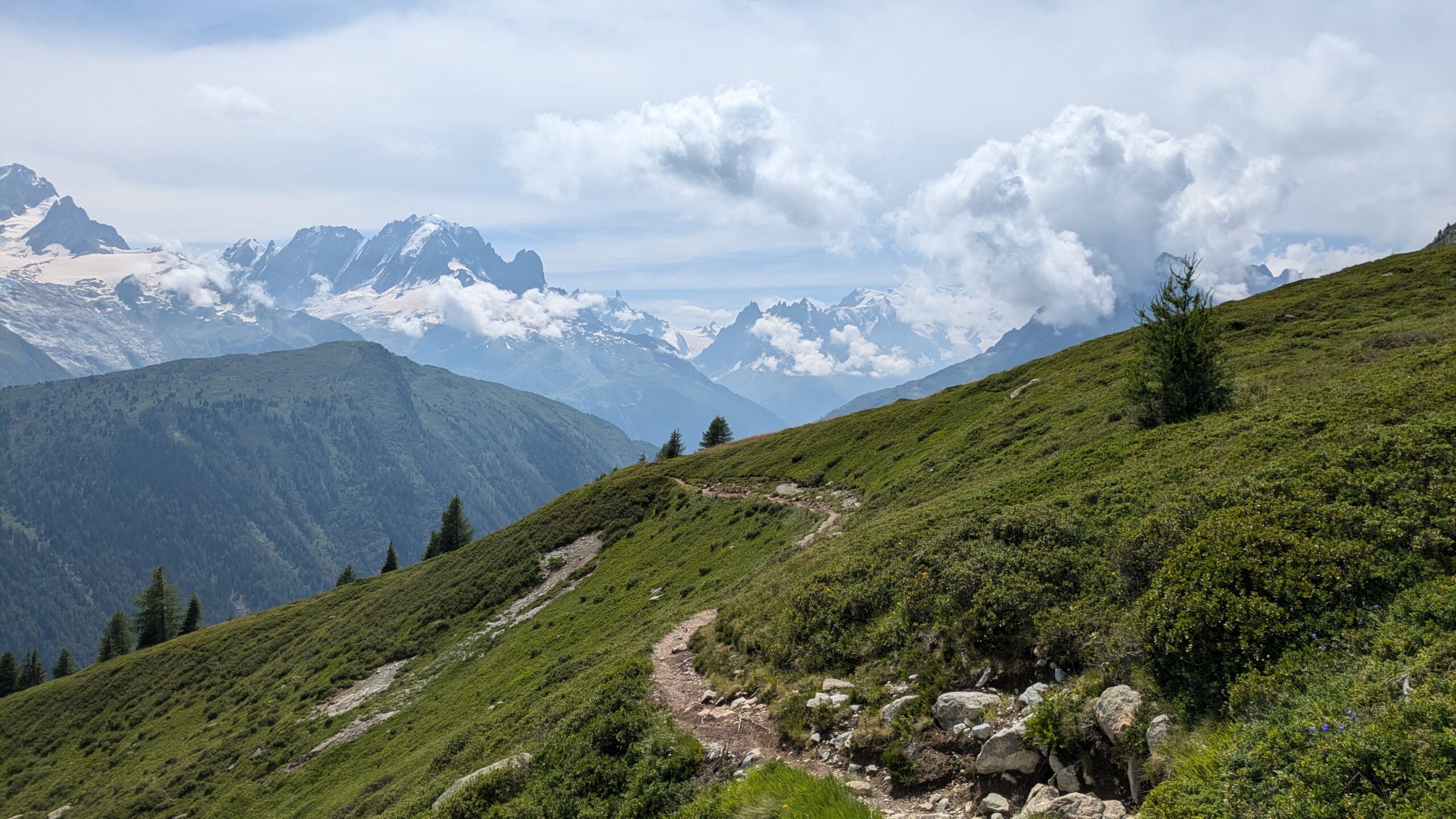
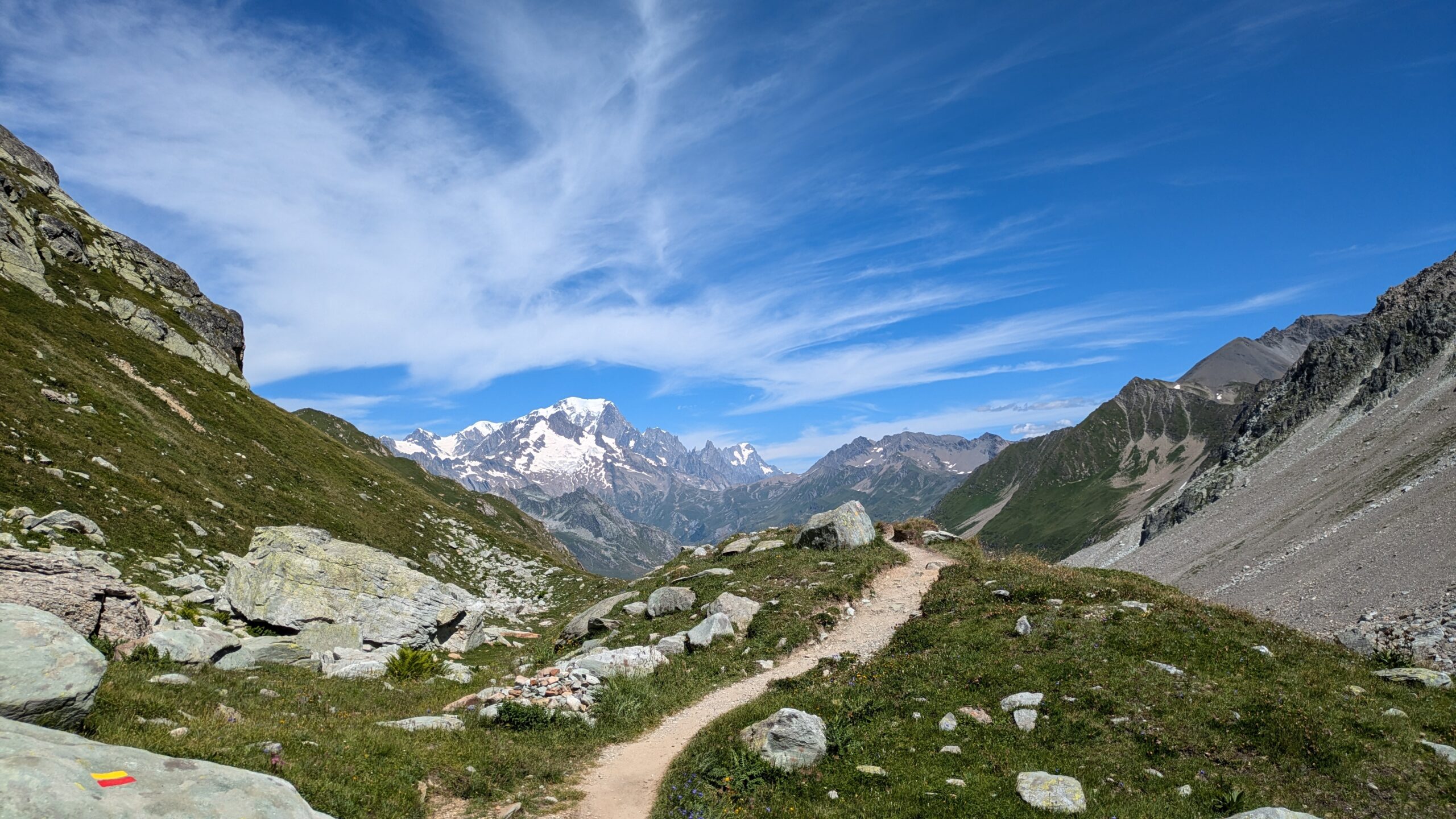
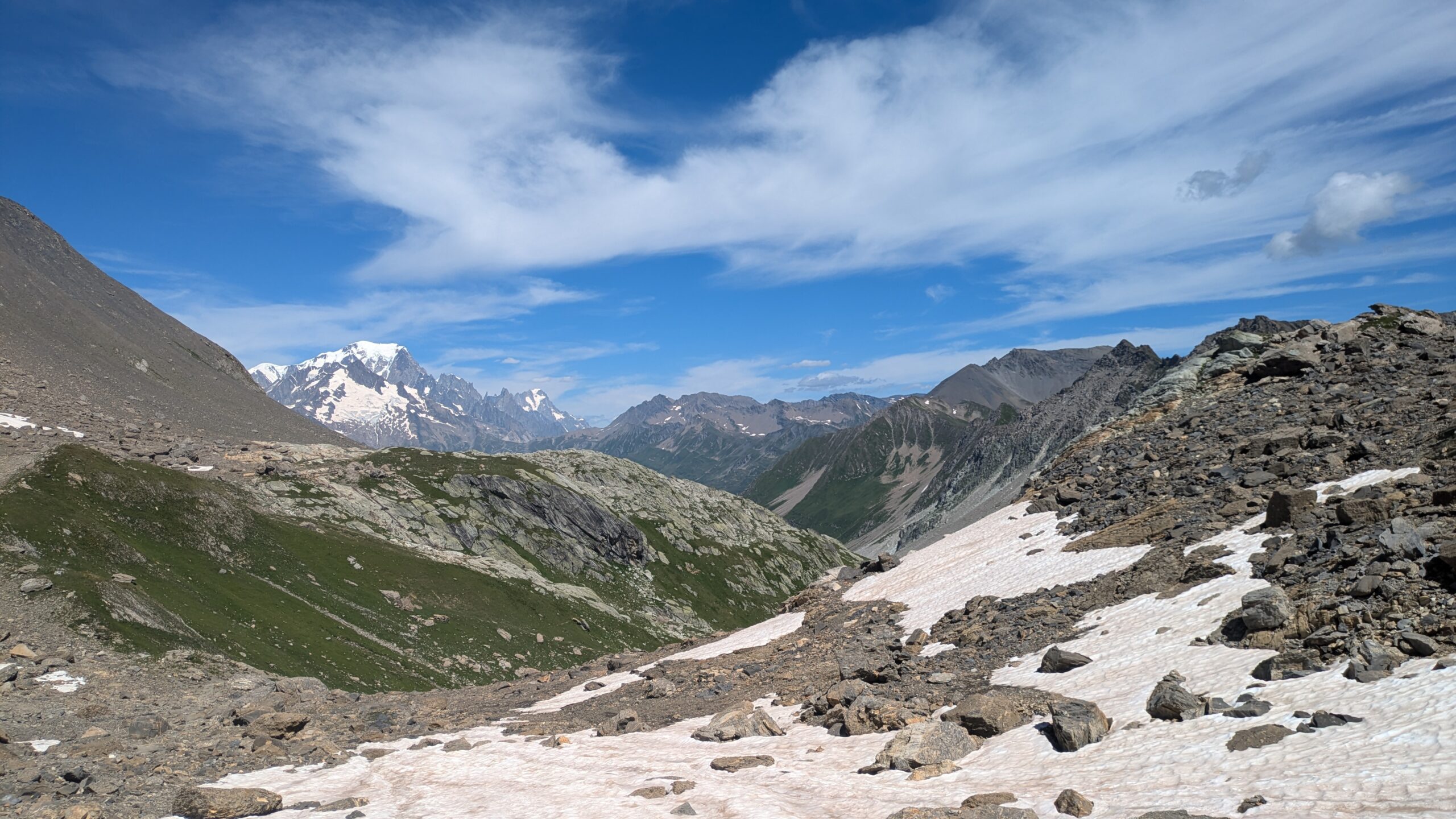
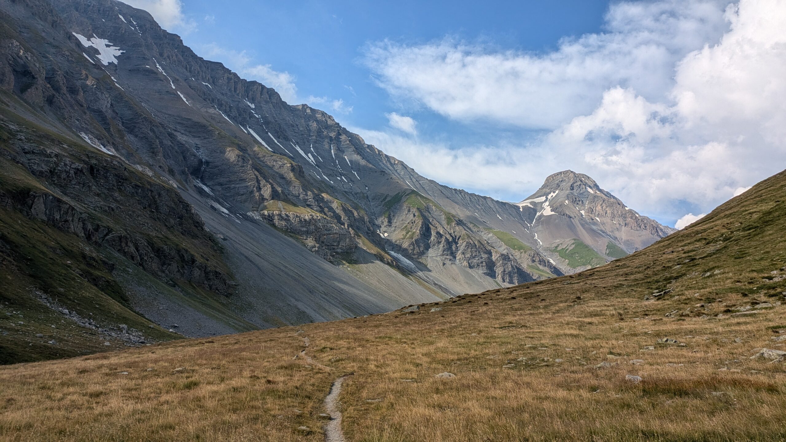
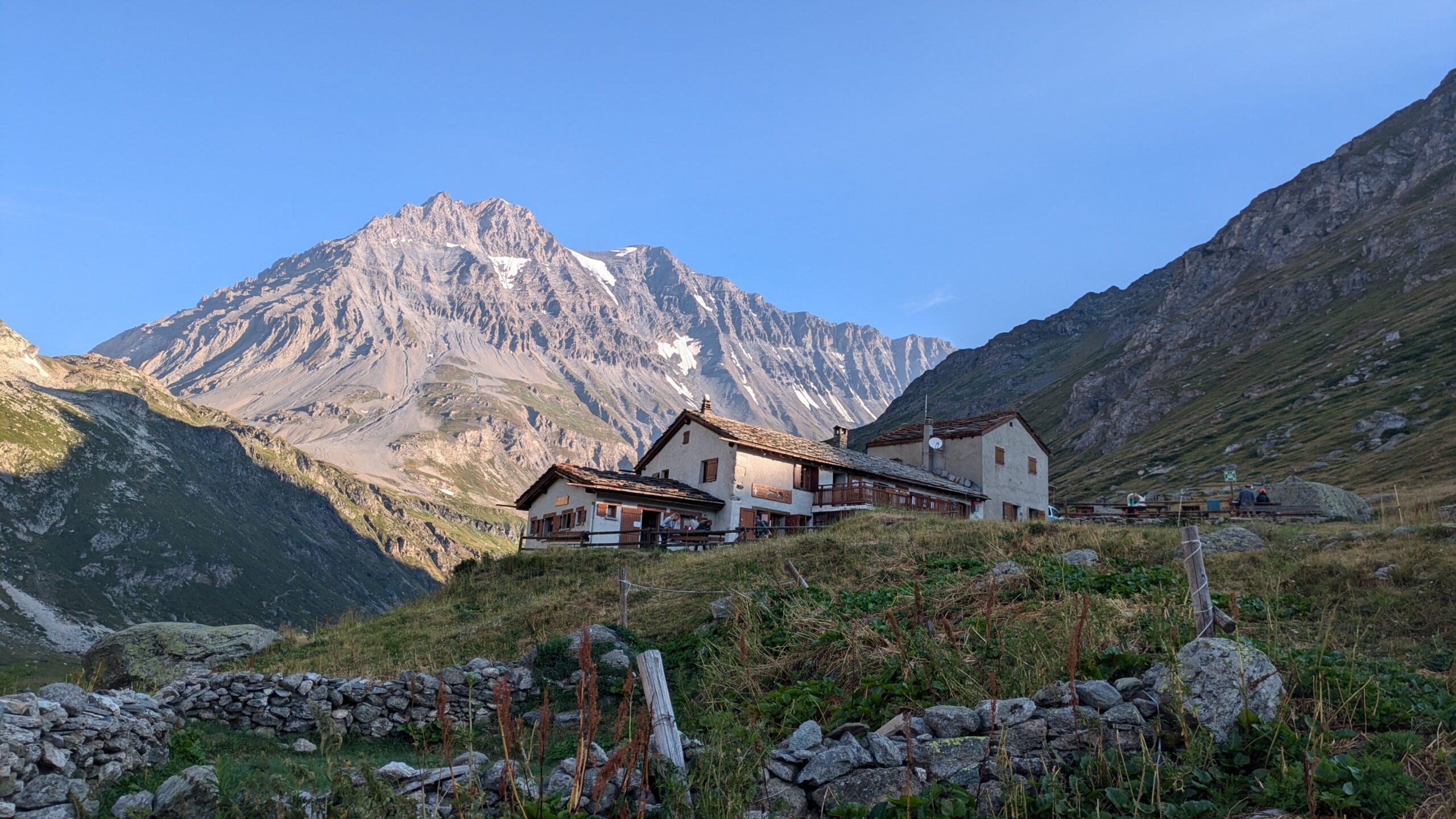
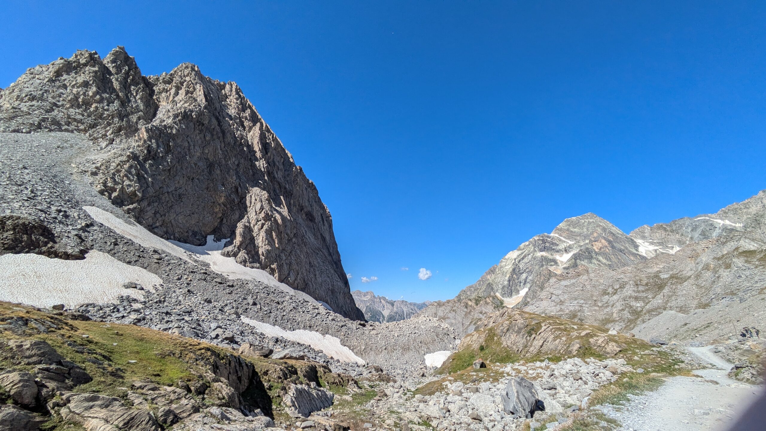
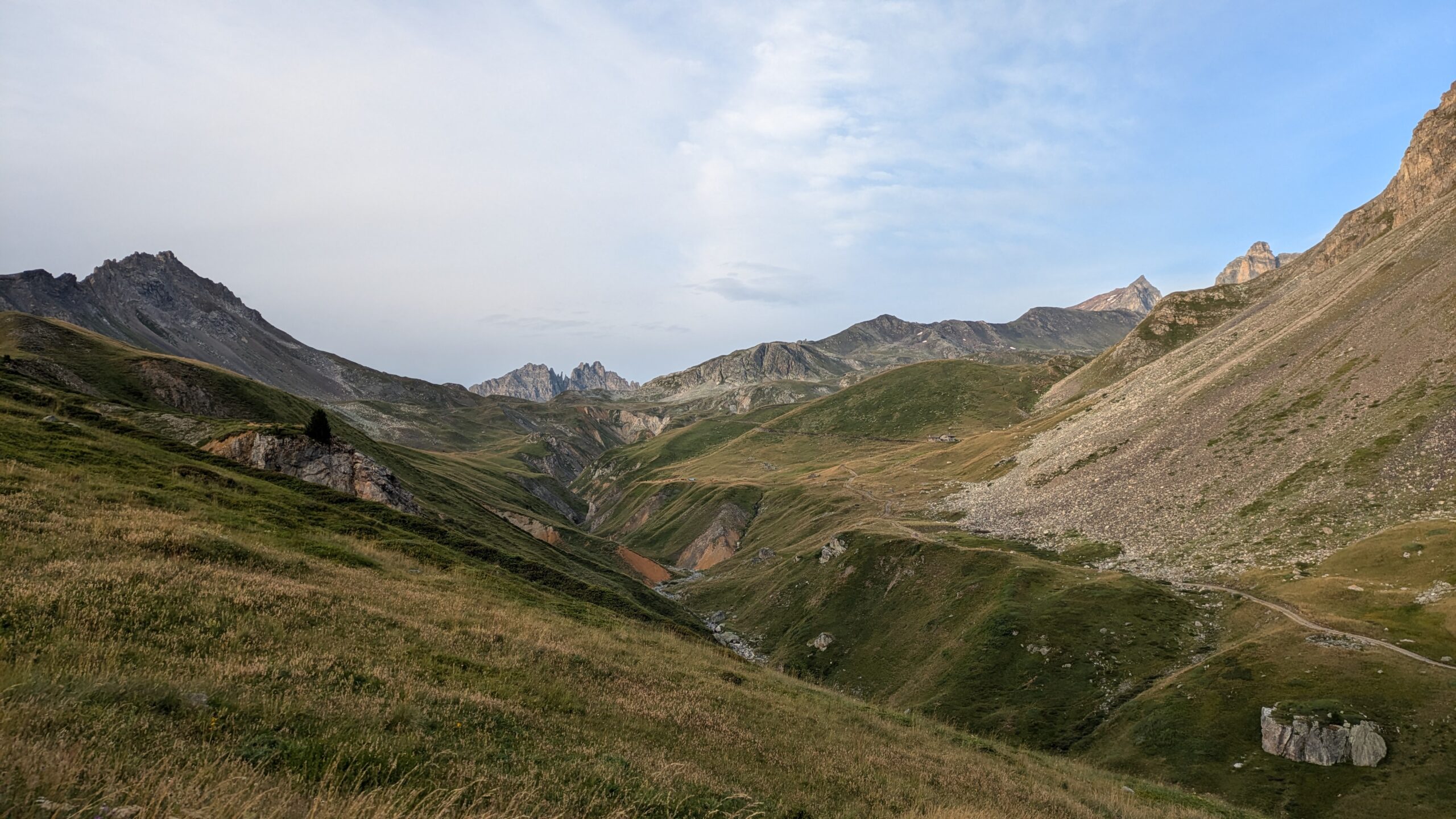
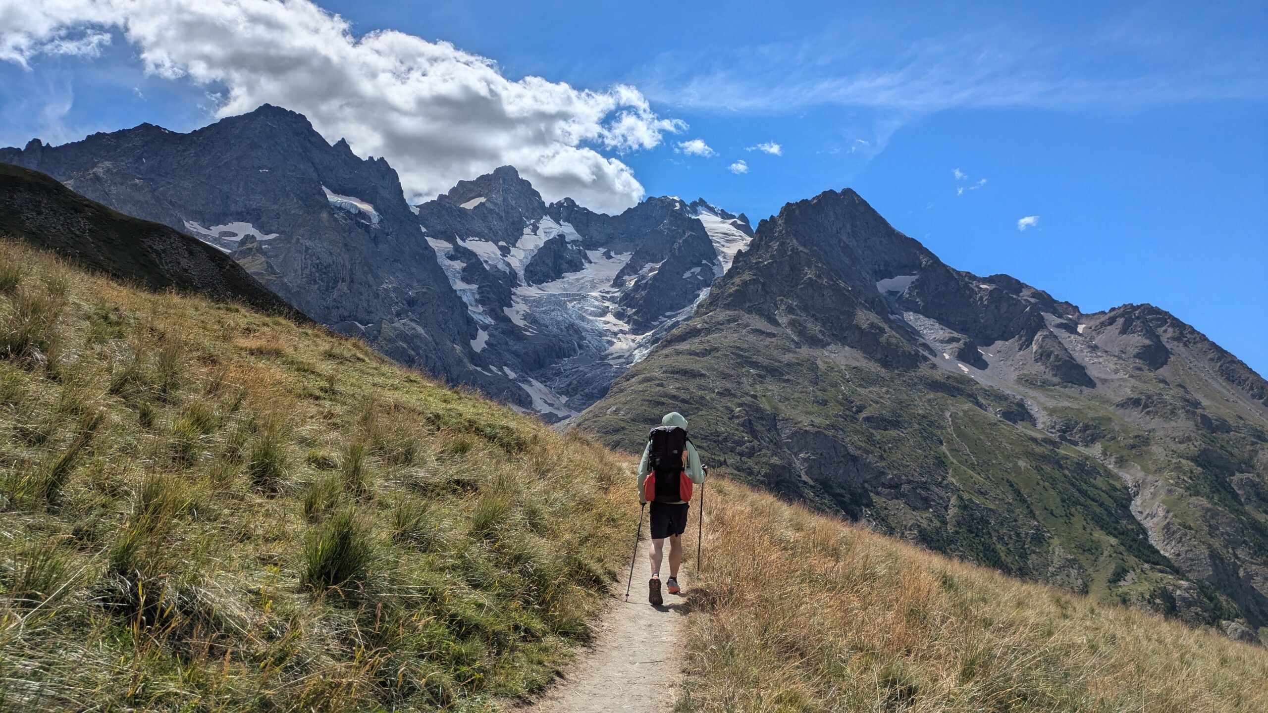
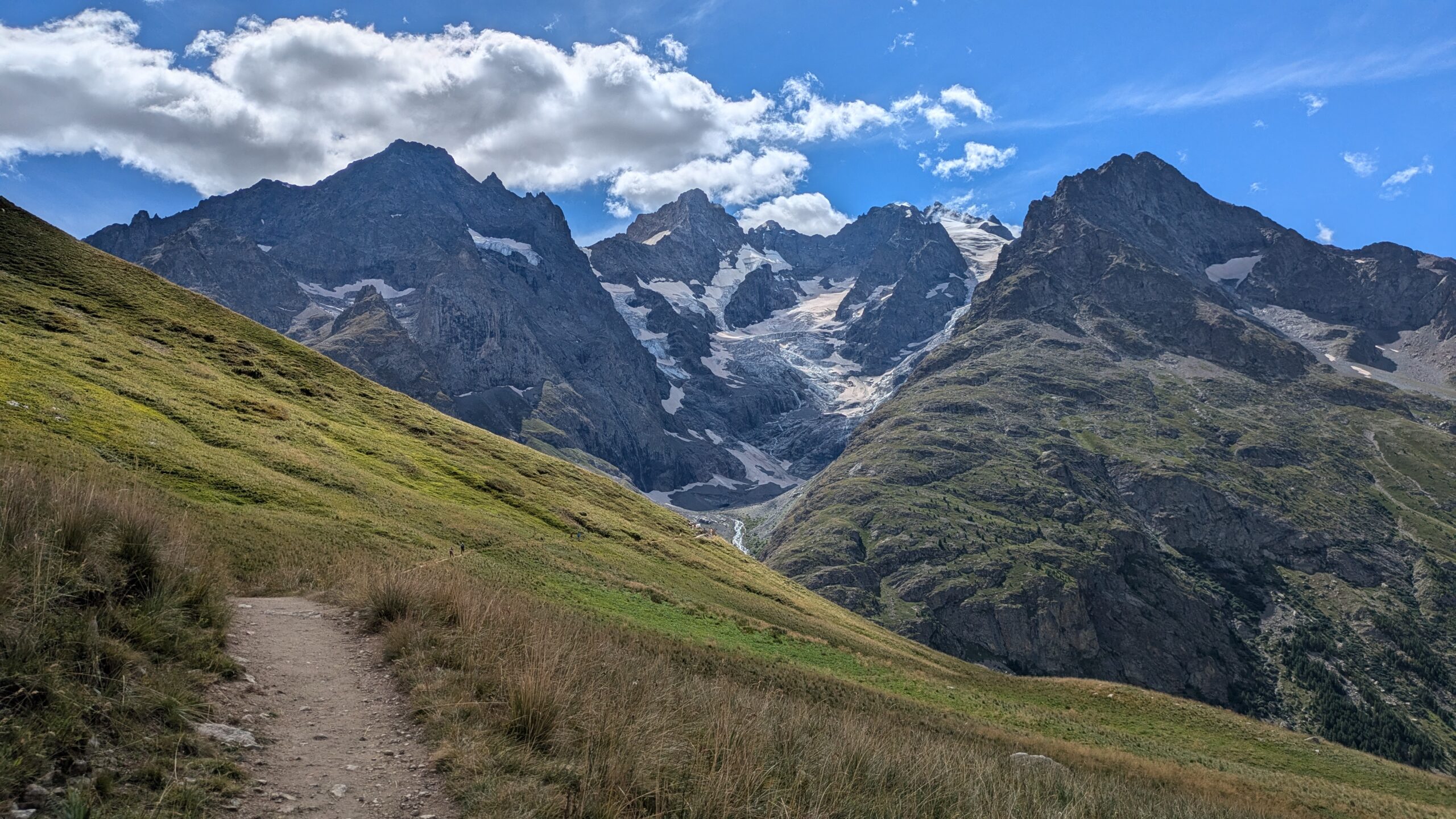
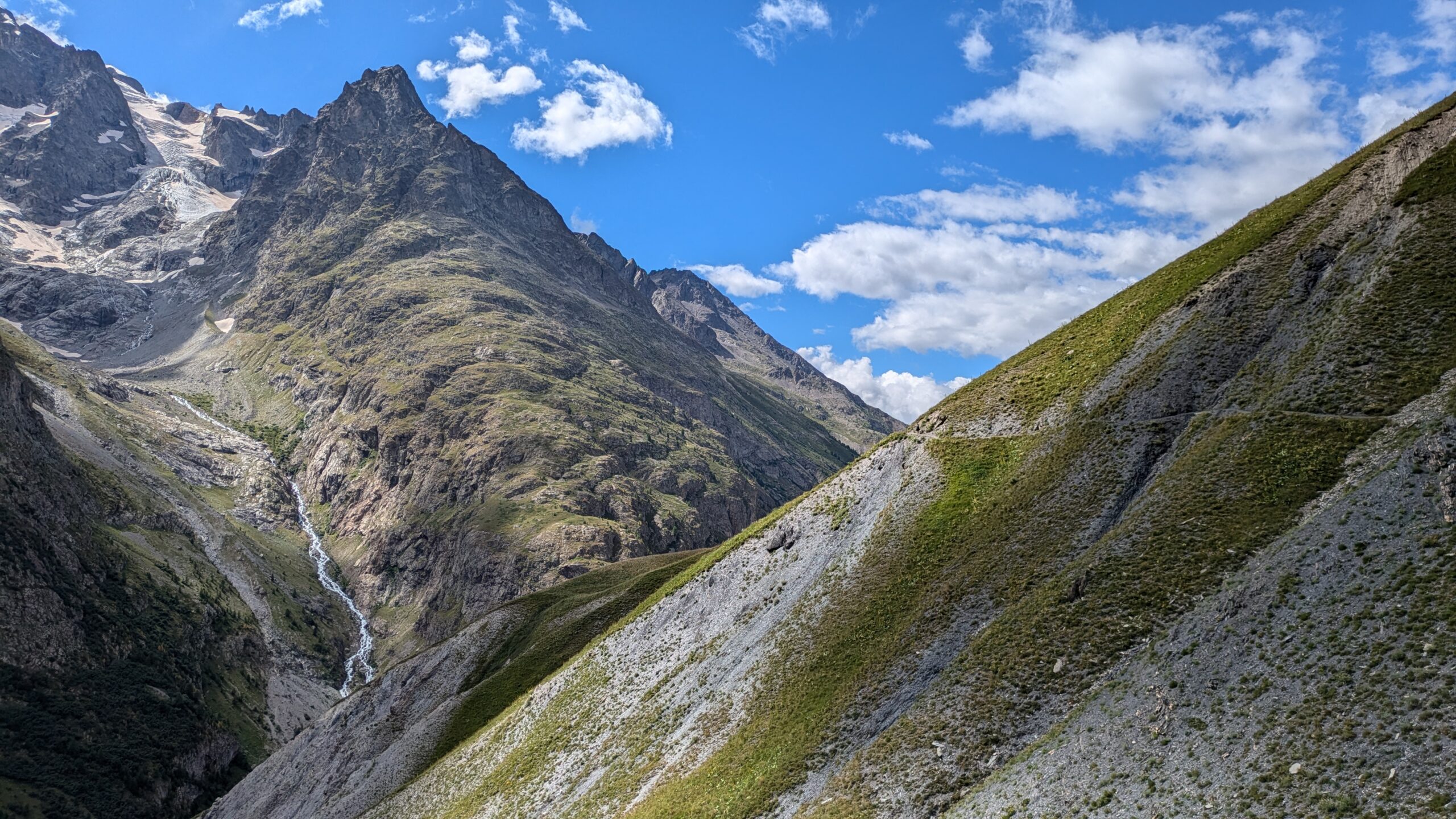
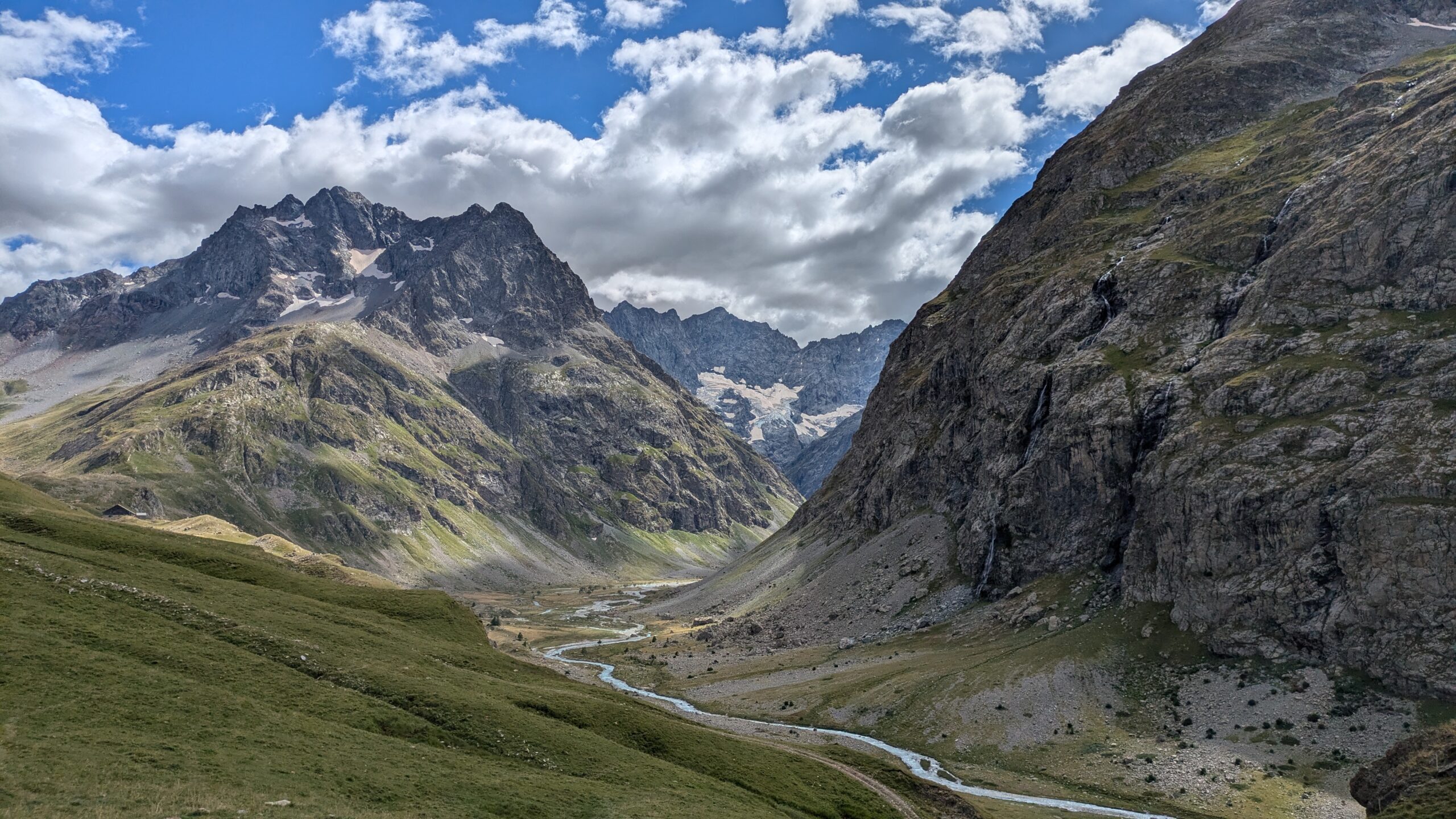
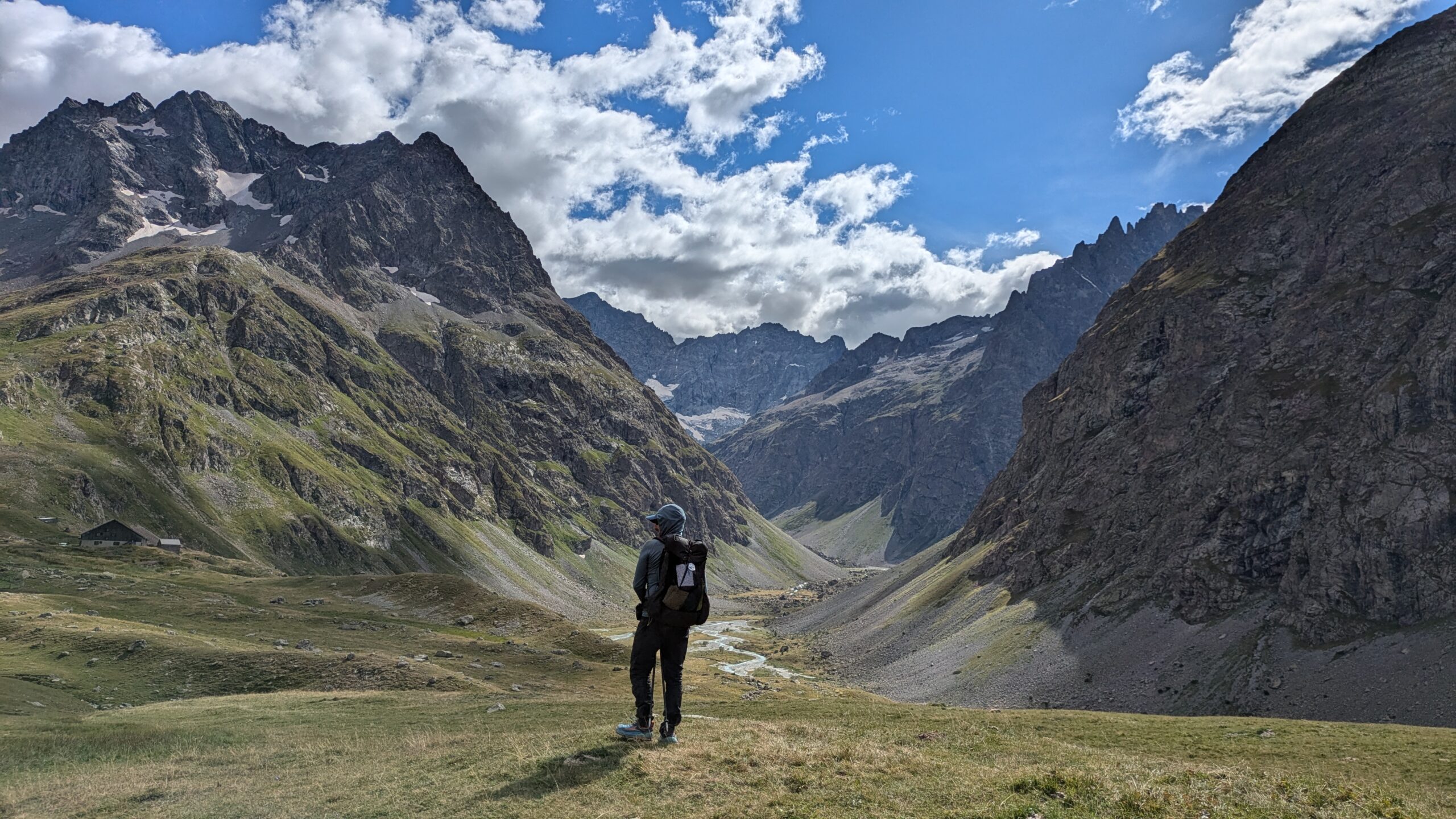
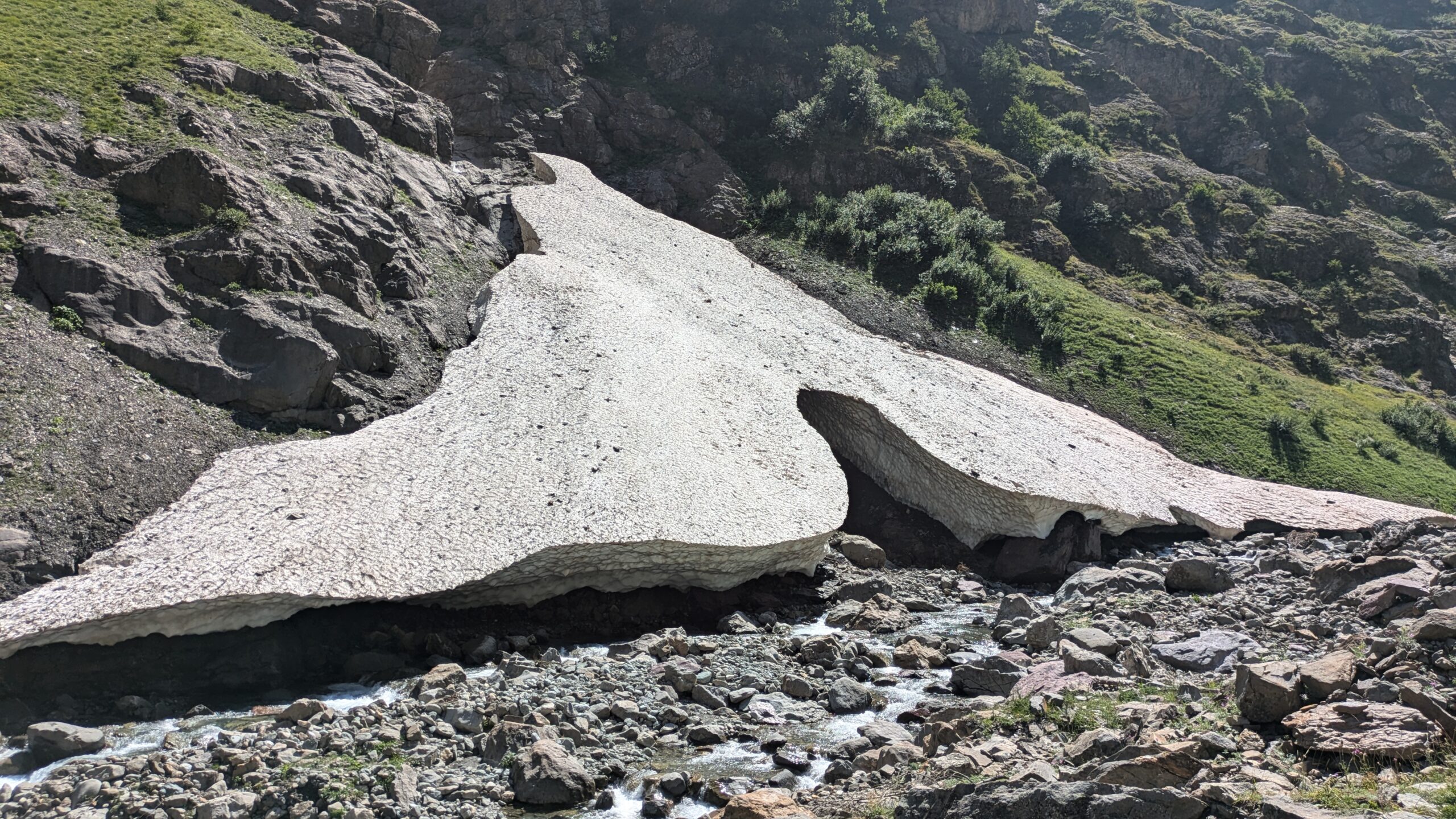
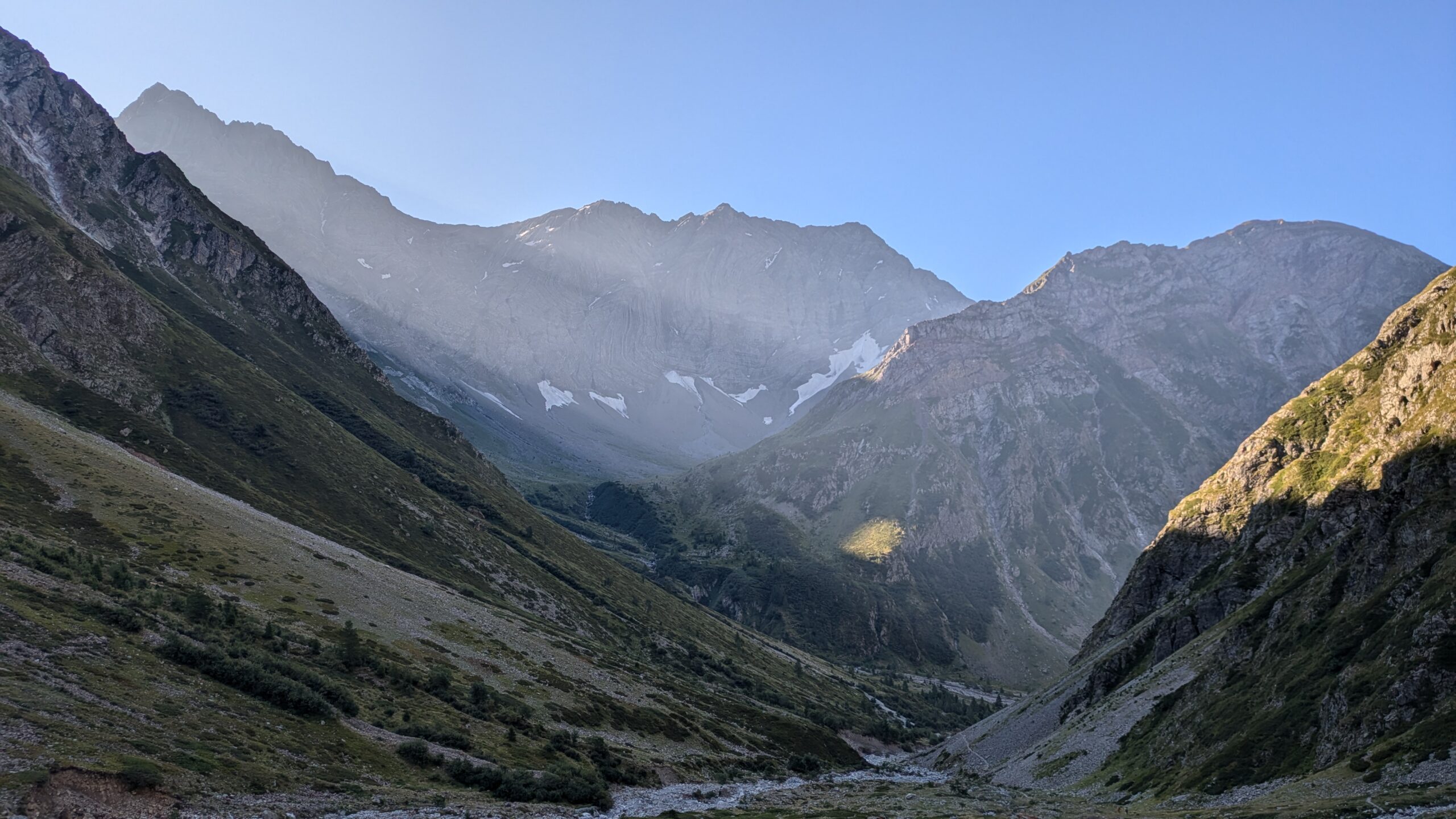
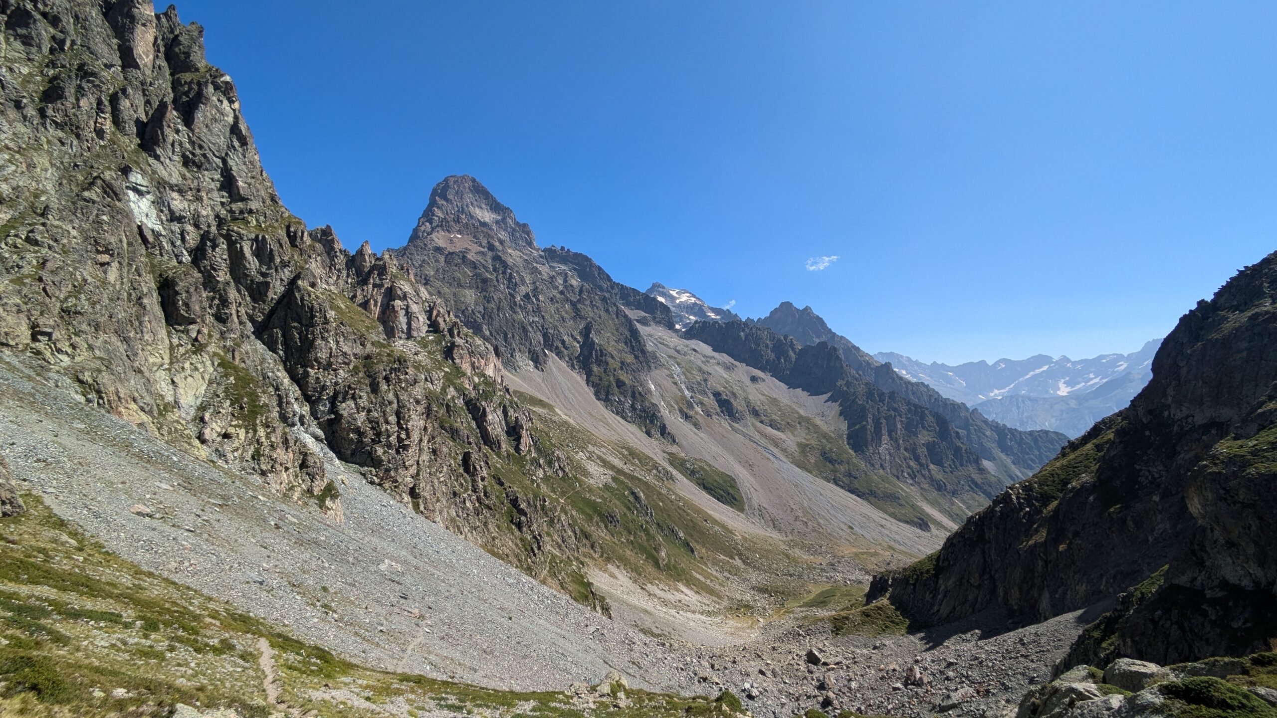
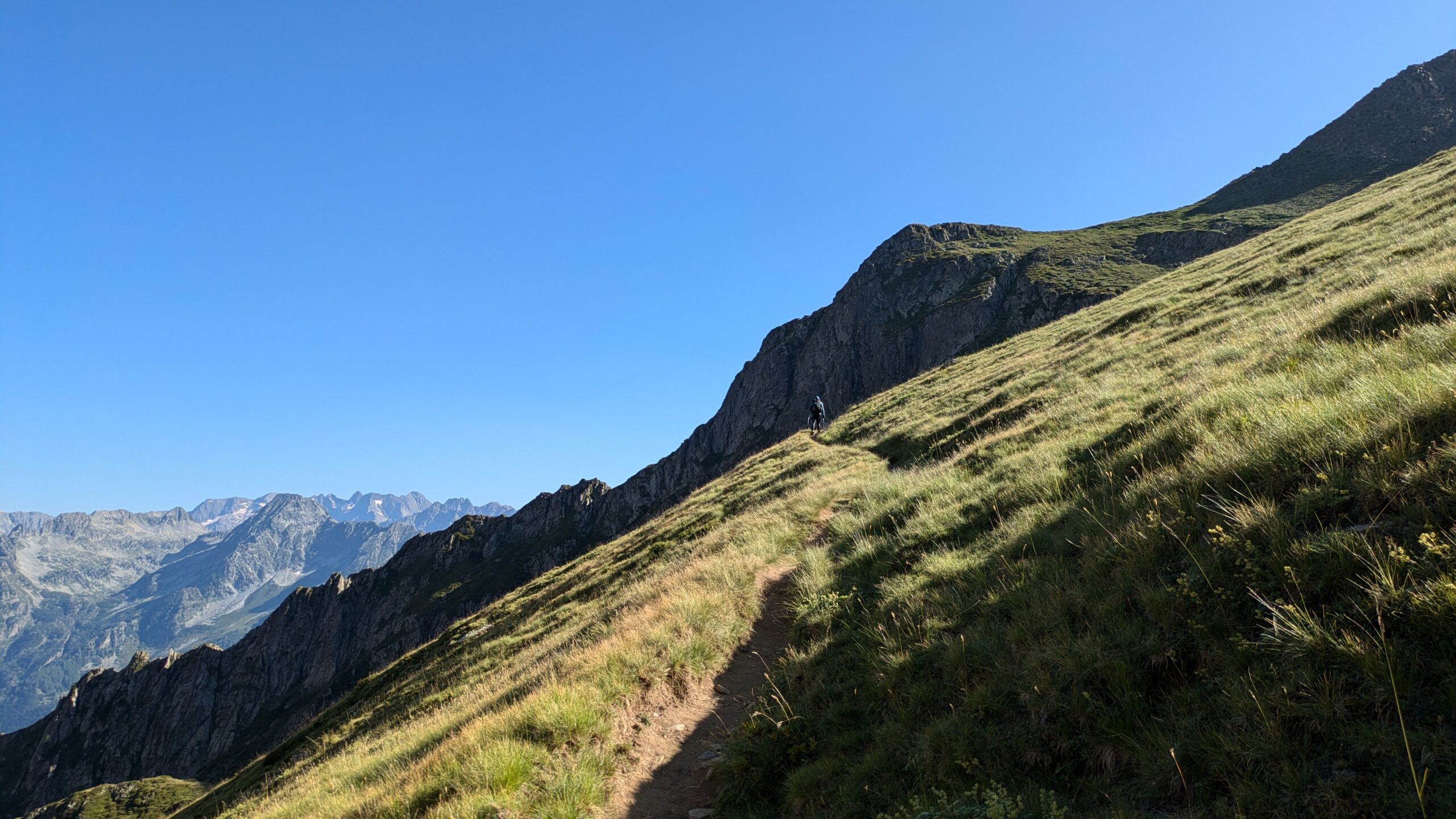
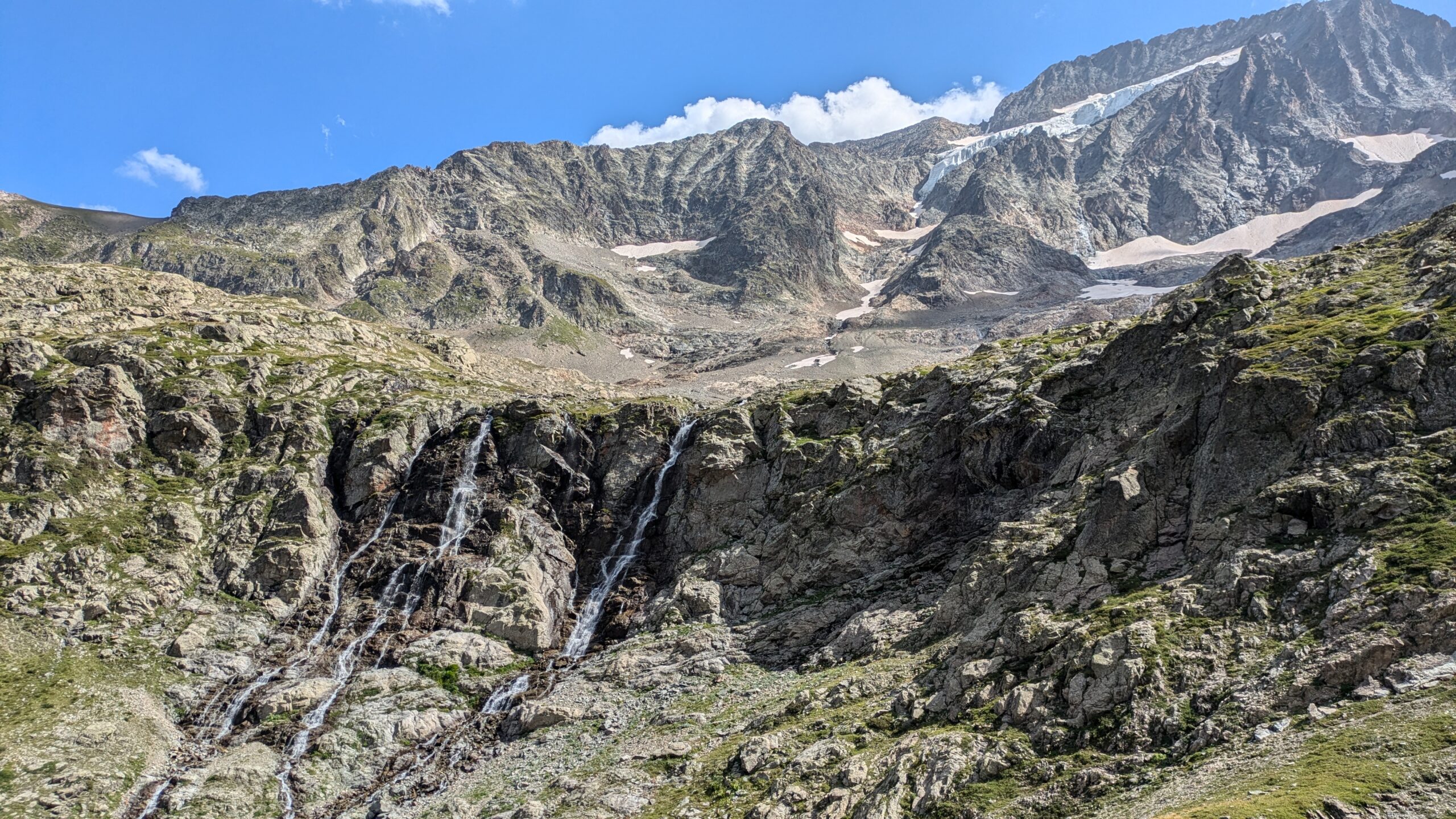
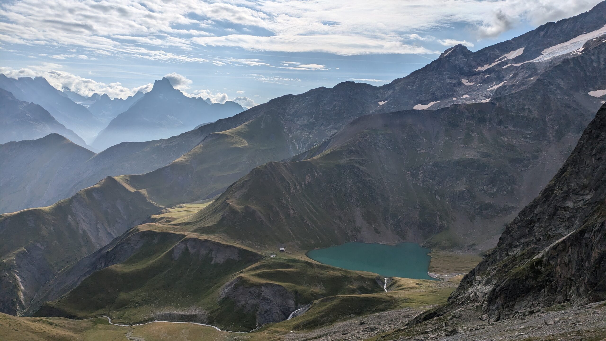
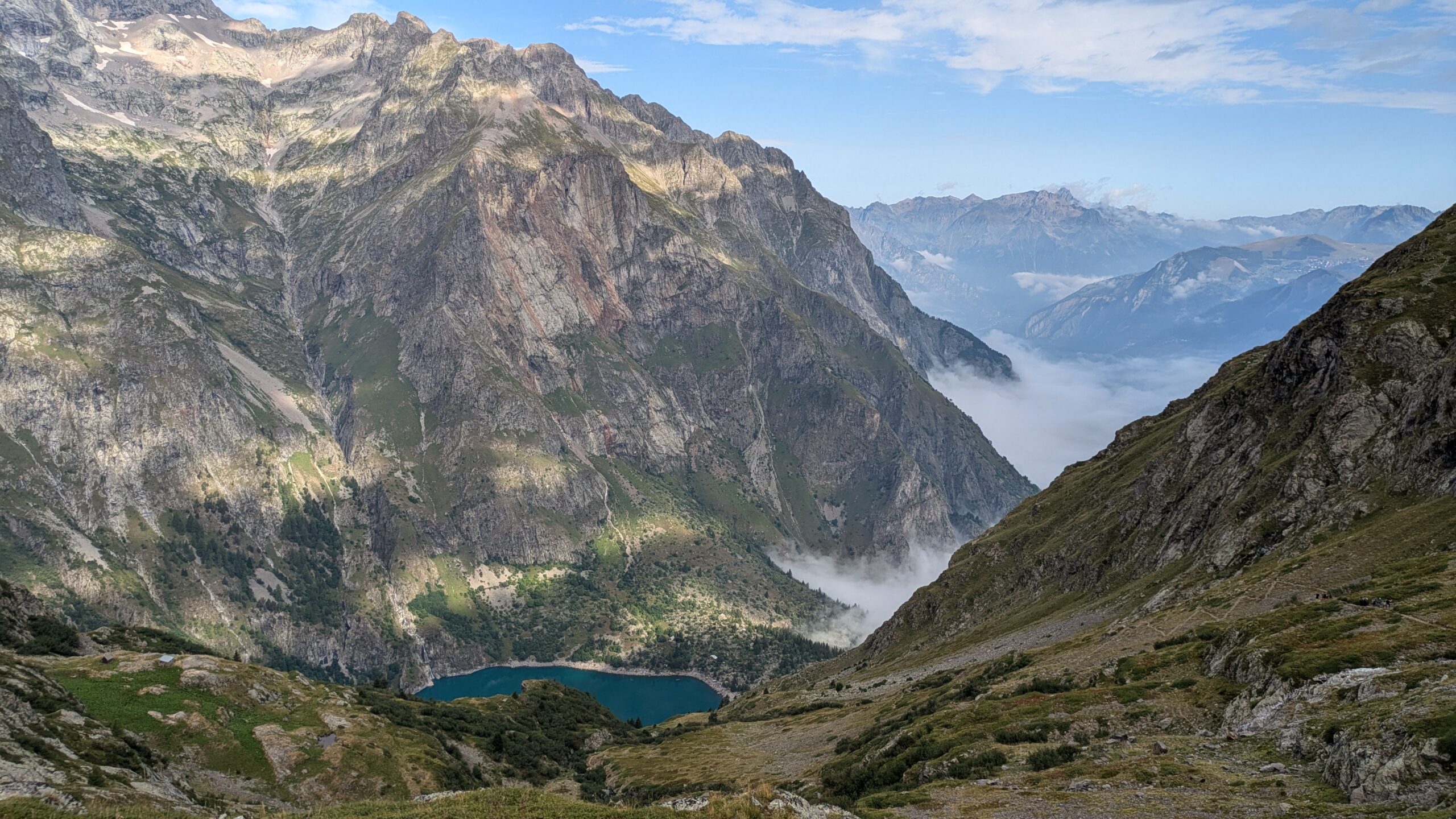
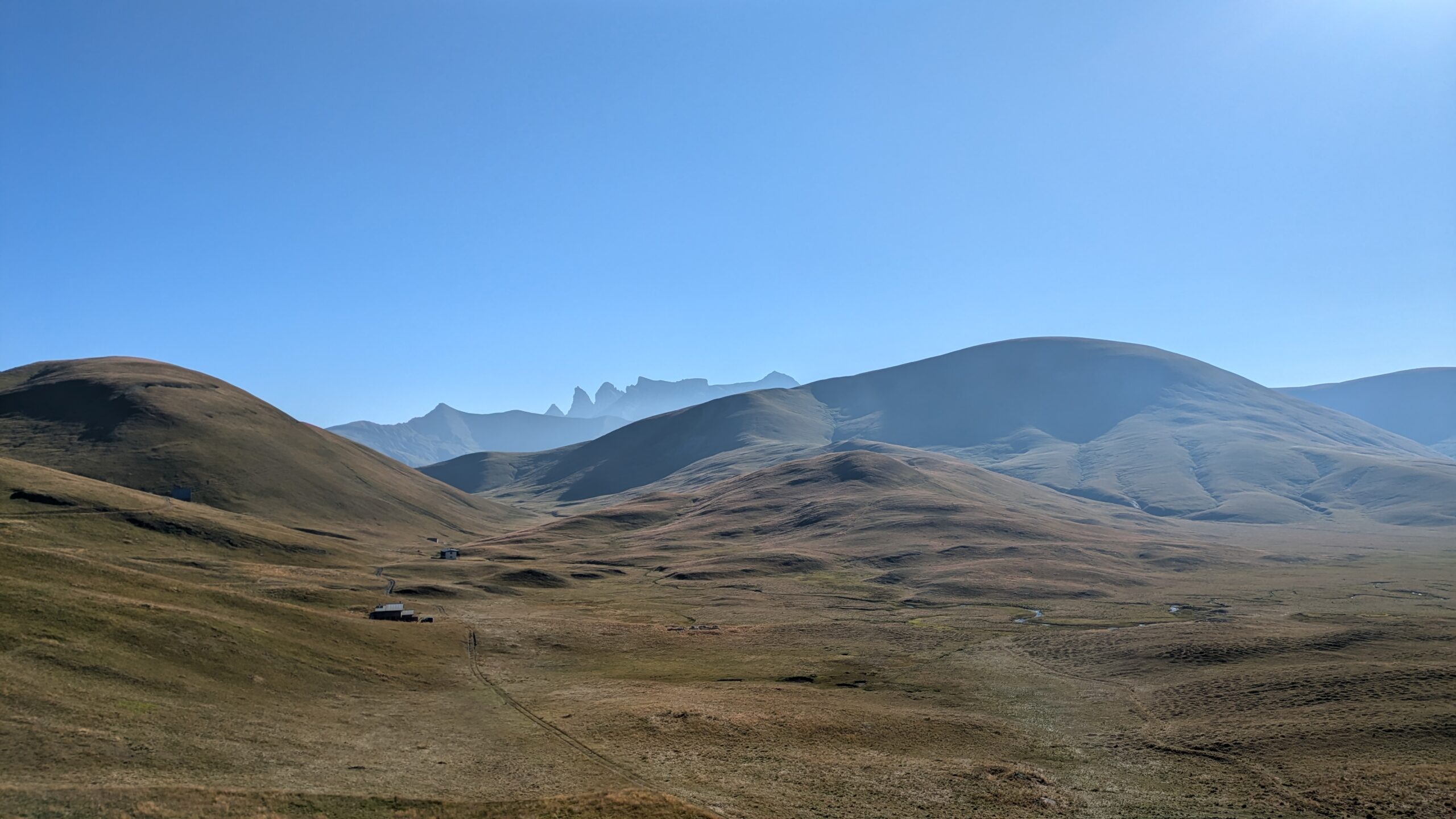
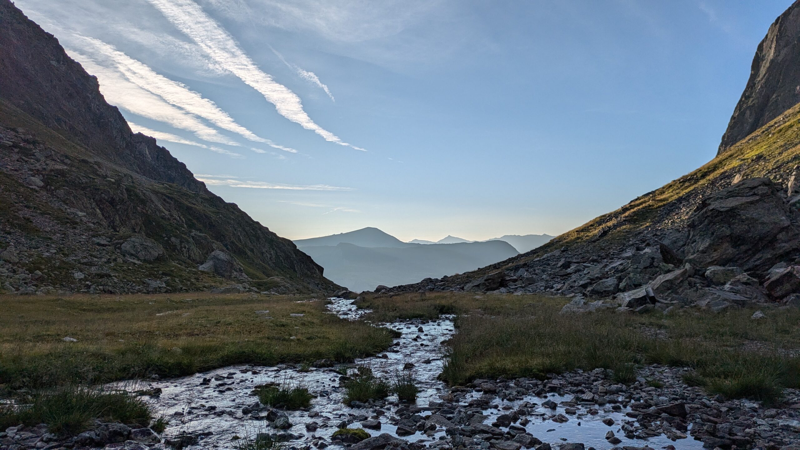
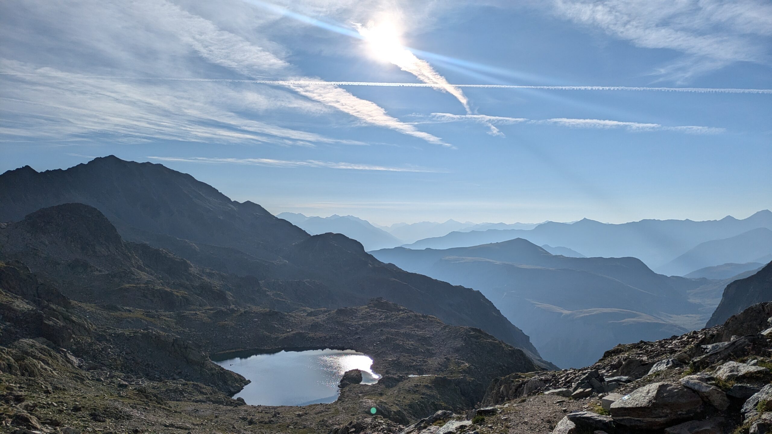
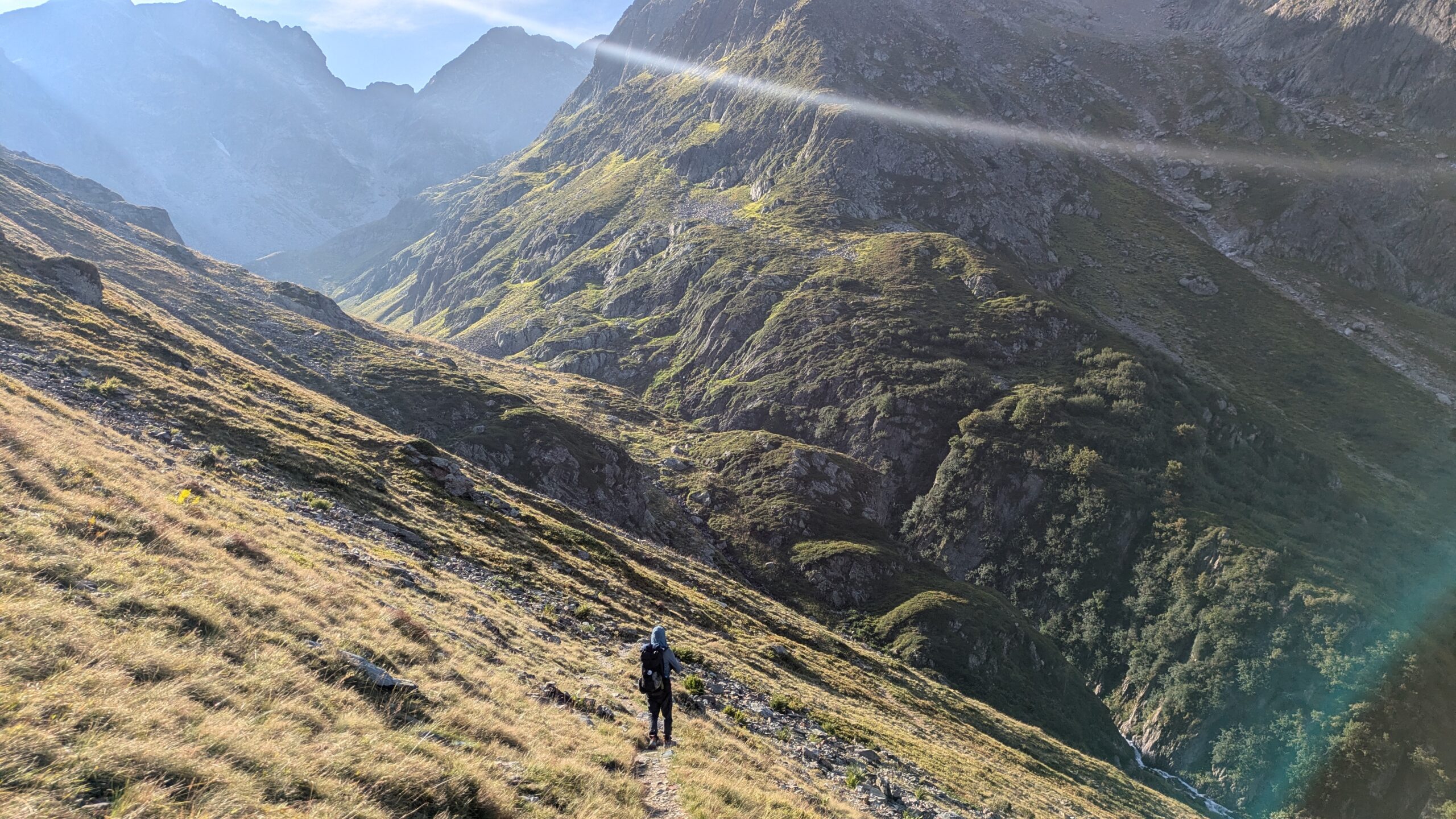
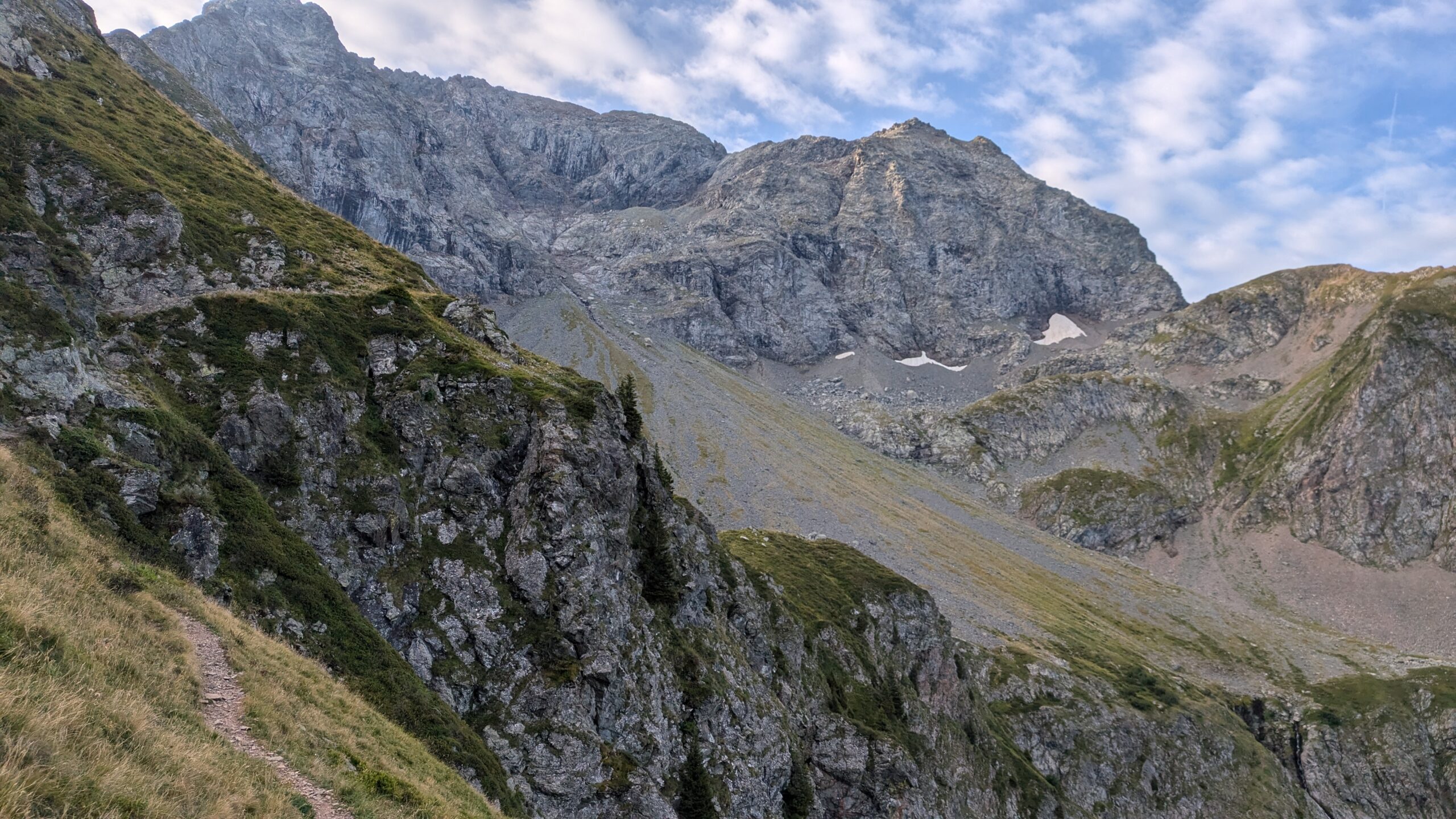
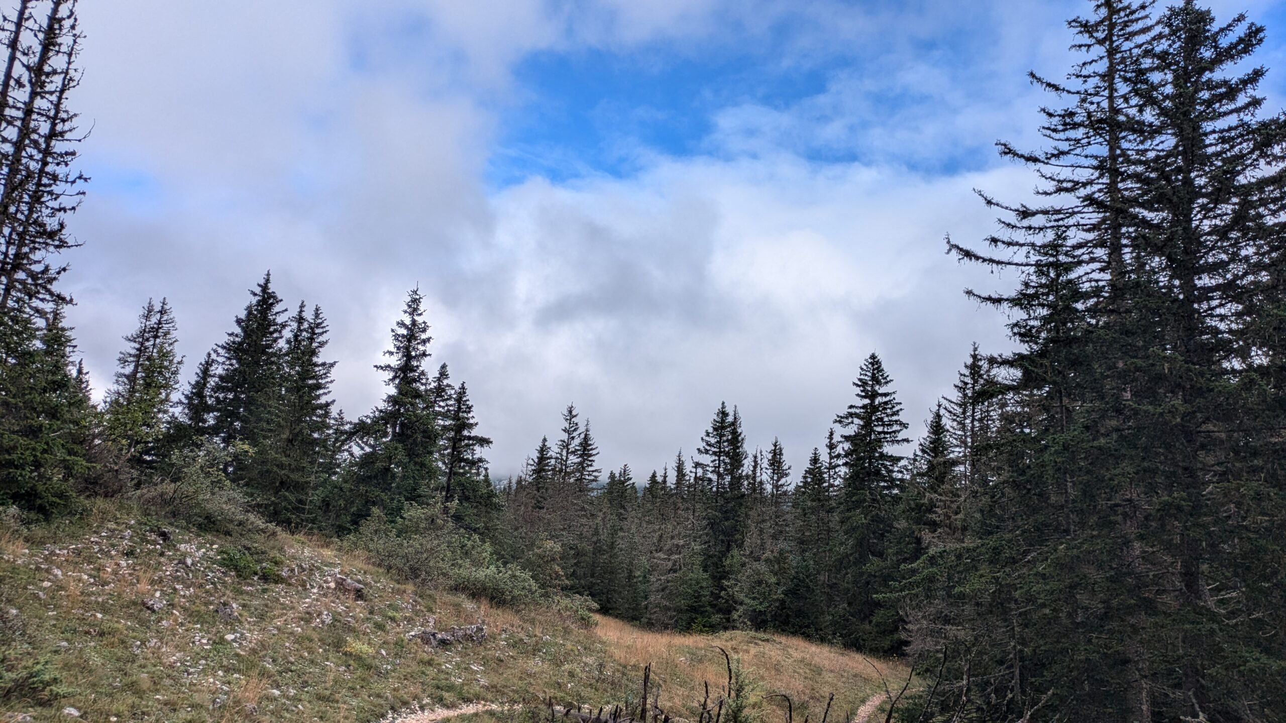
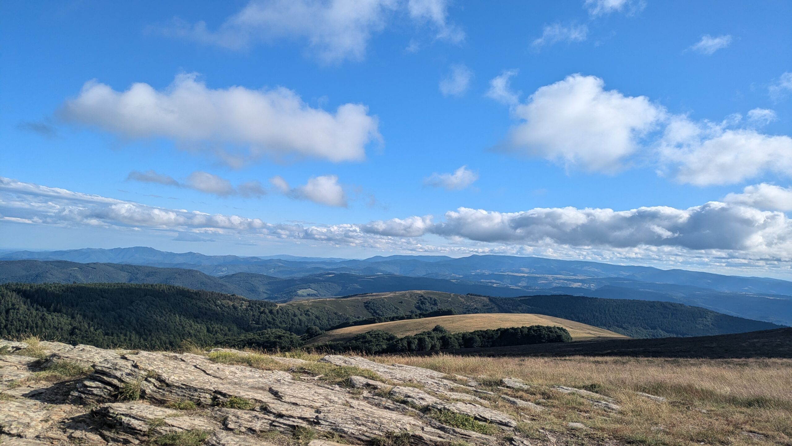
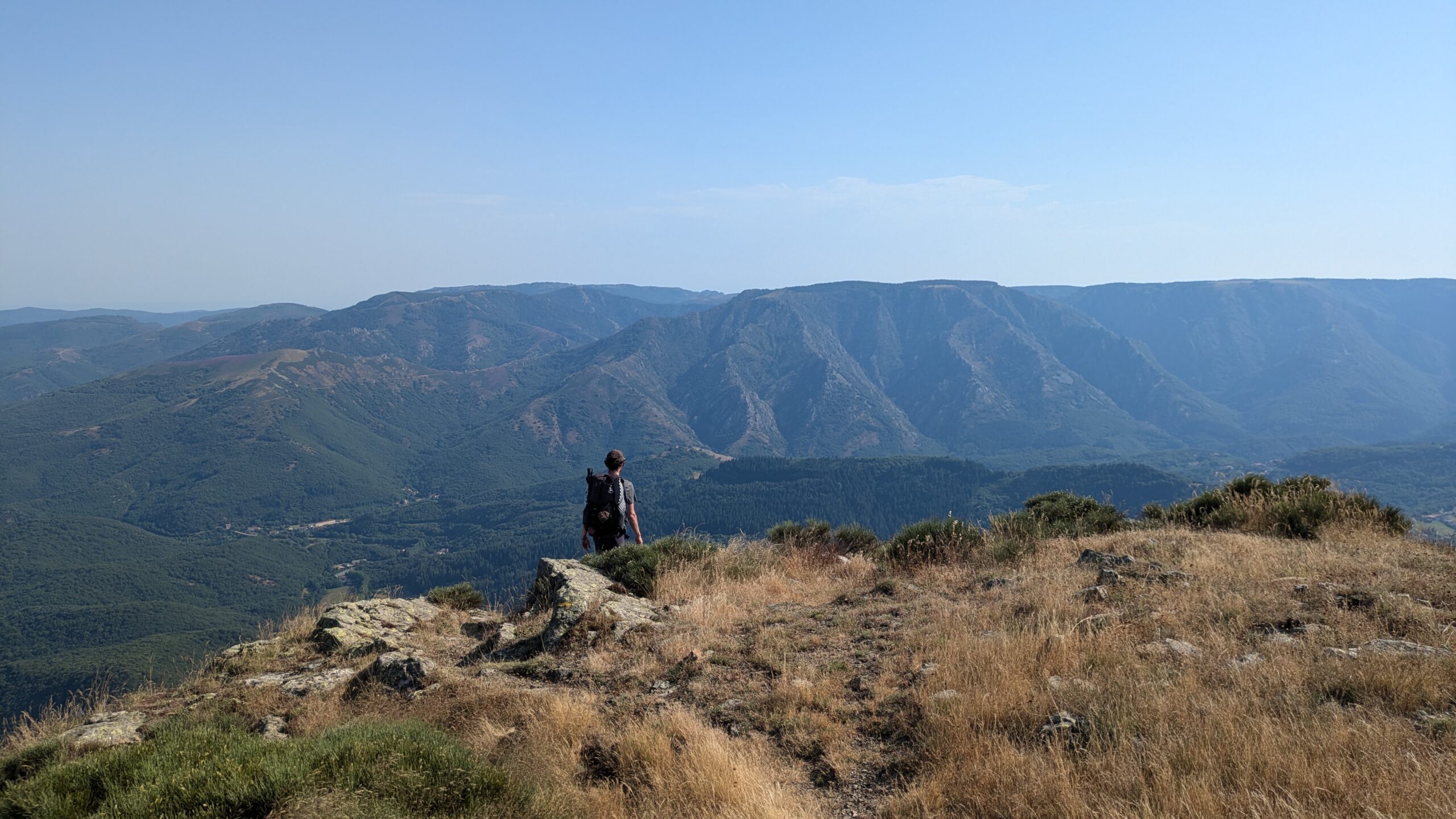
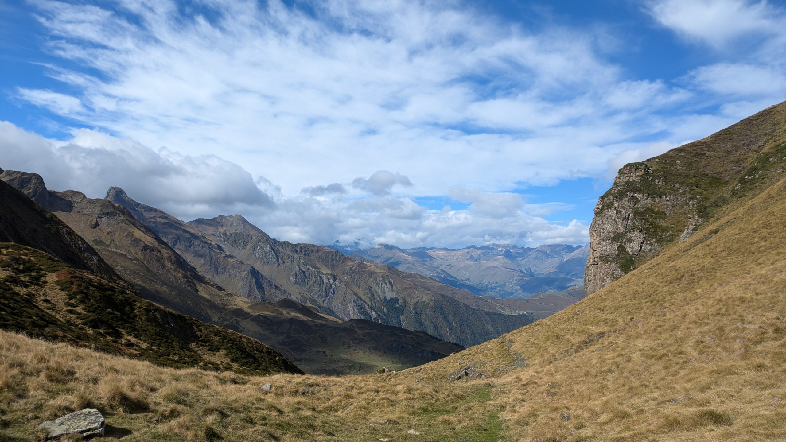
Stage 3 of the HexaTrek, “Hautes Alpes,” covers 497 km through the Écrins, Belledonne, and the Vercors, with a positive elevation gain of 26,800 meters, to be completed in 20 to 35 days. This stage, one of the most demanding of the HexaTrek, offers spectacular alpine landscapes as well as technical sections and sometimes challenging terrain. Less touristy than other alpine regions, the Hautes Alpes are a true paradise for hikers, providing full immersion in wild nature before reaching the Préalpes and the Baronnies.


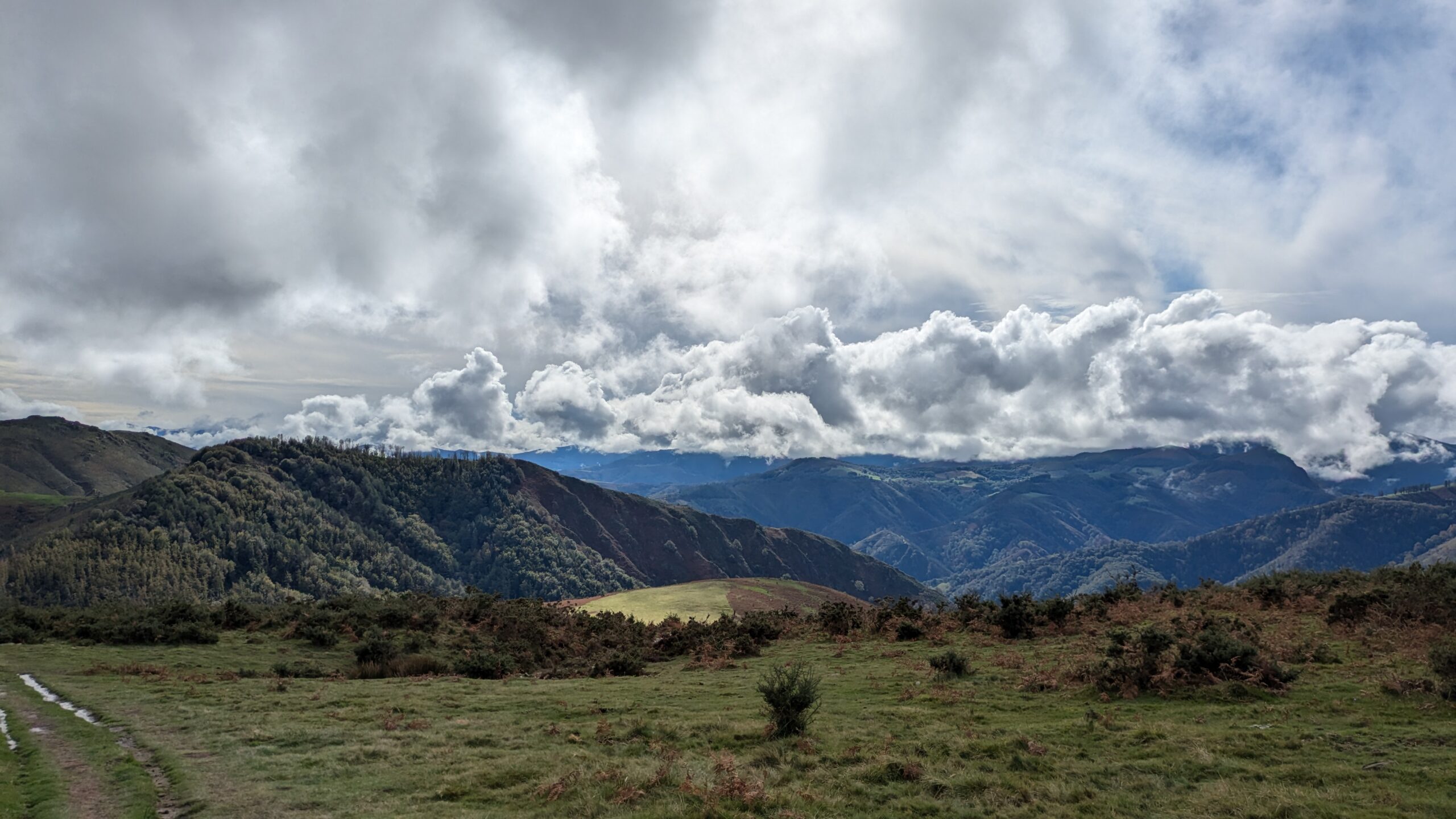
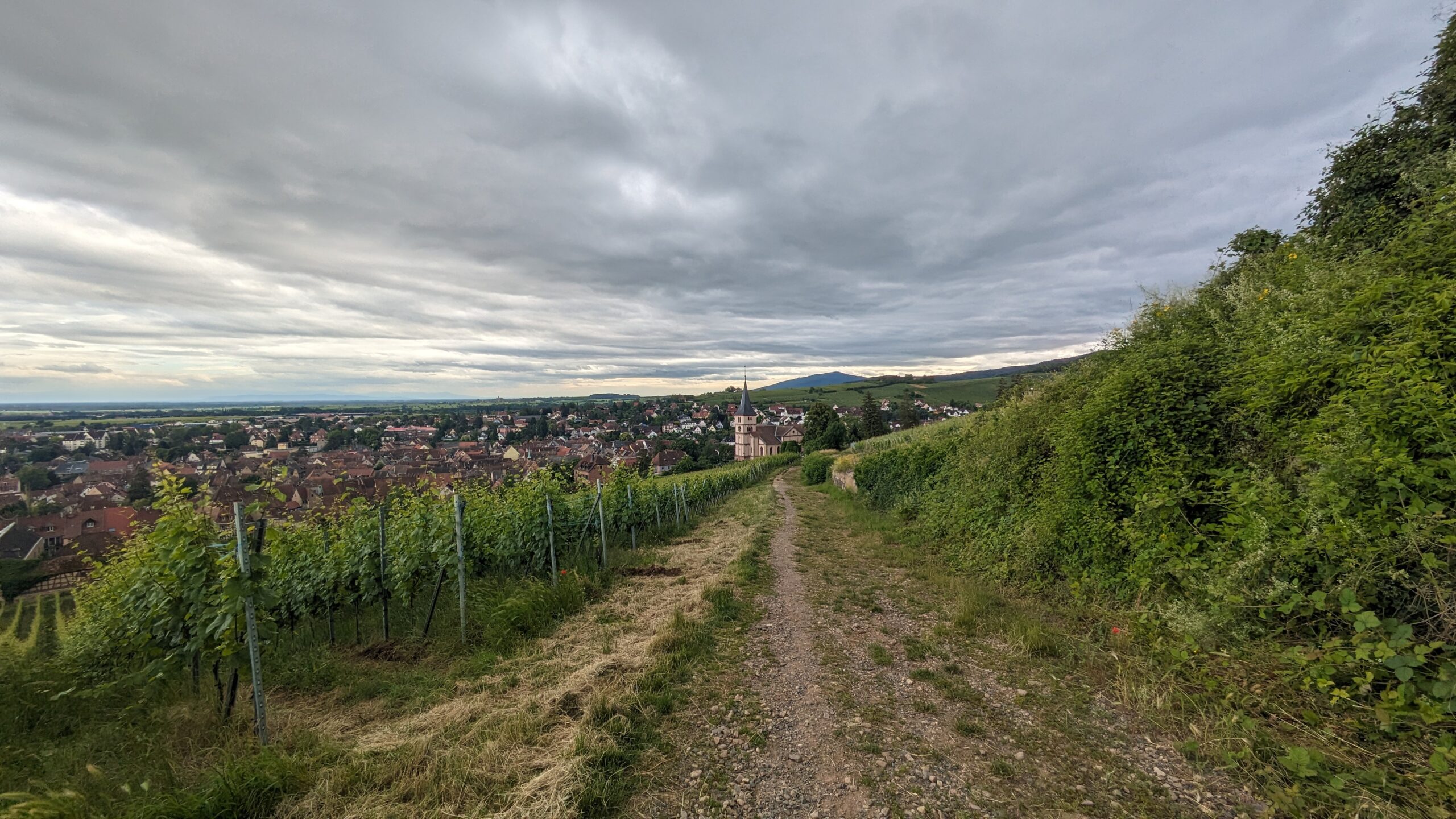
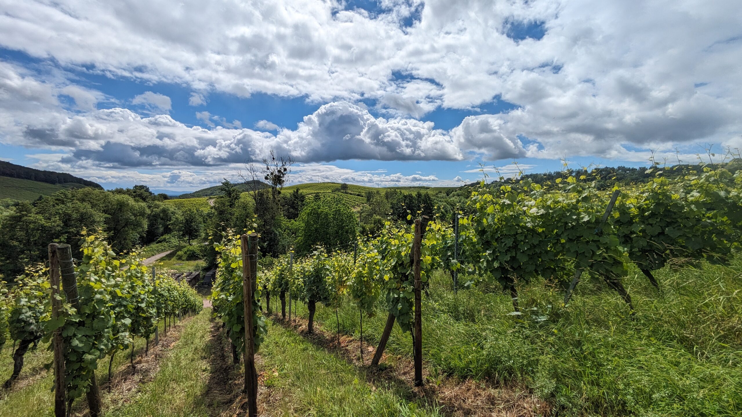
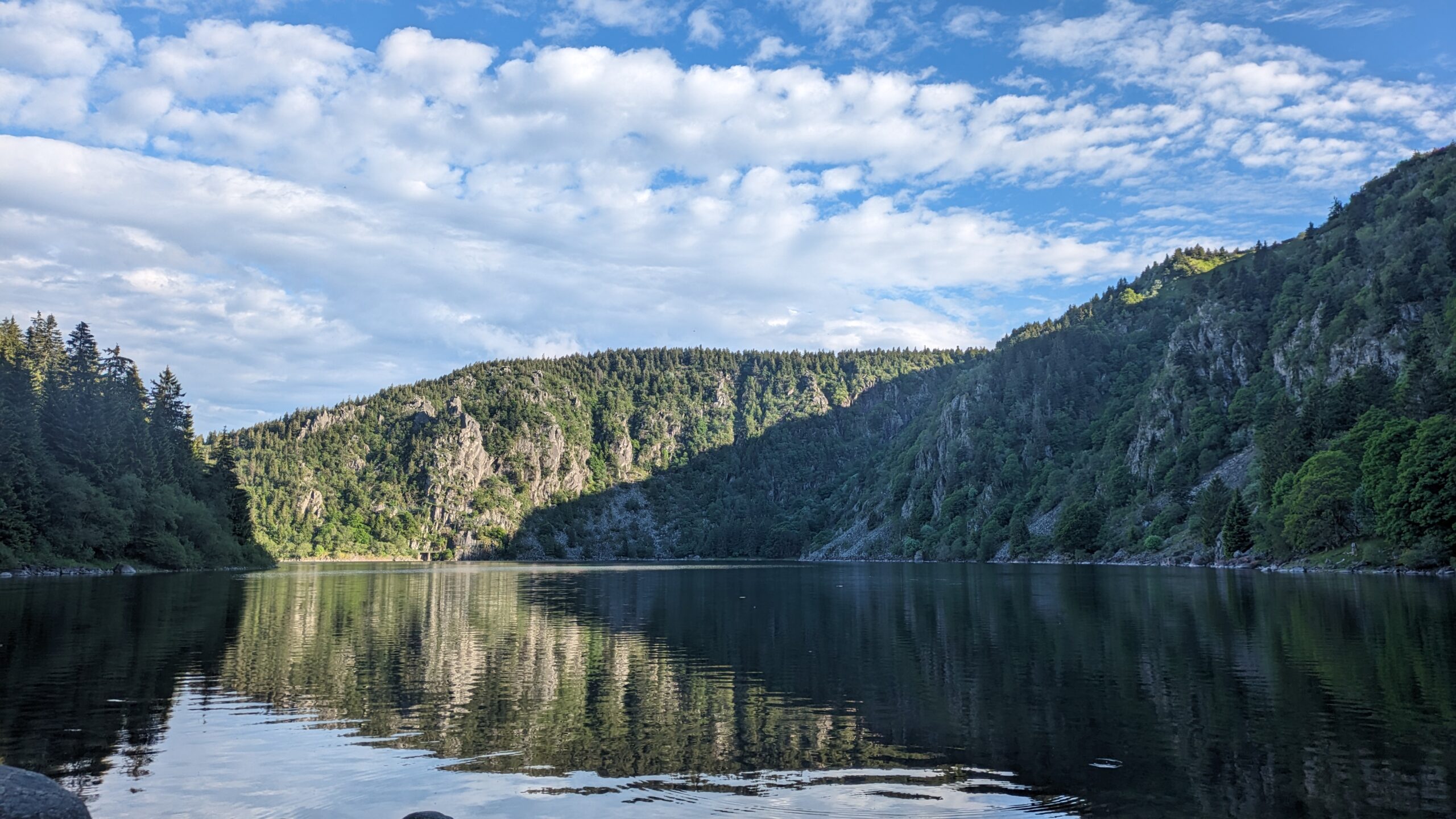
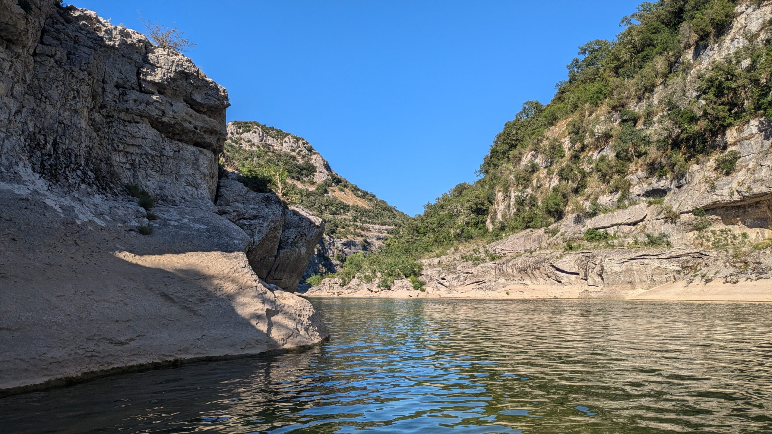
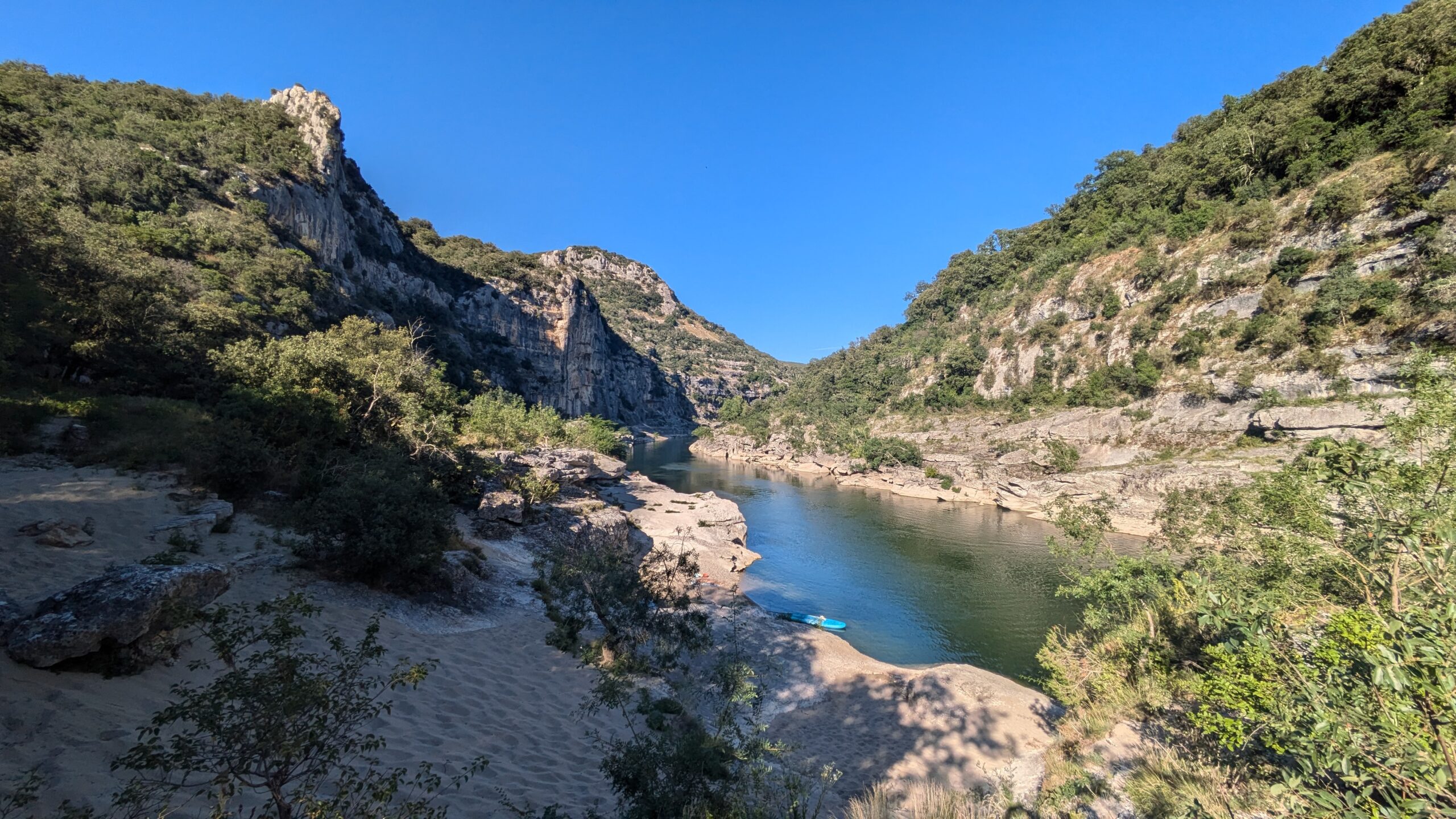
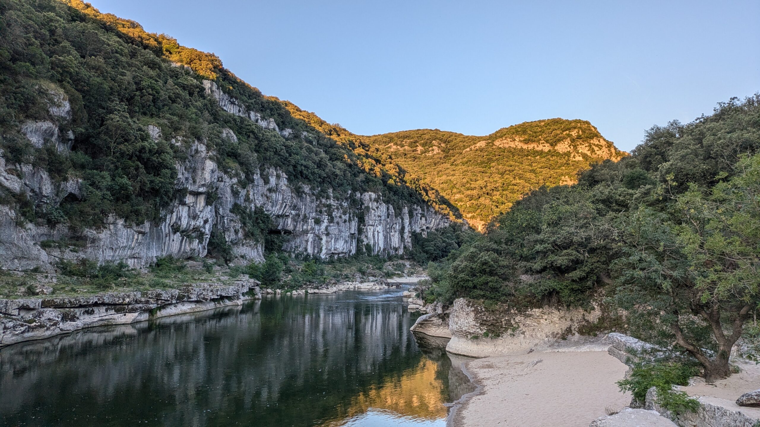
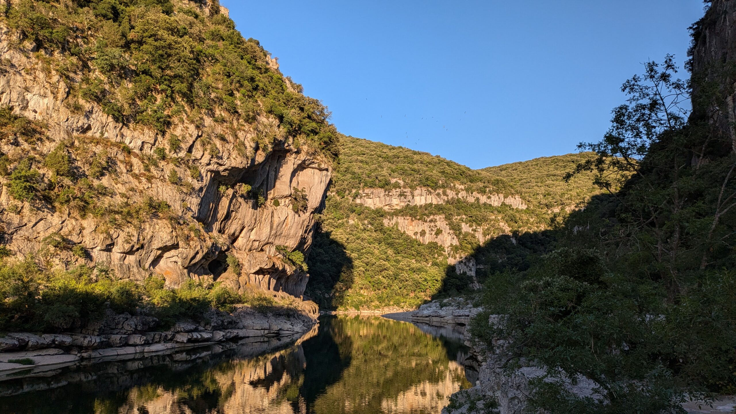
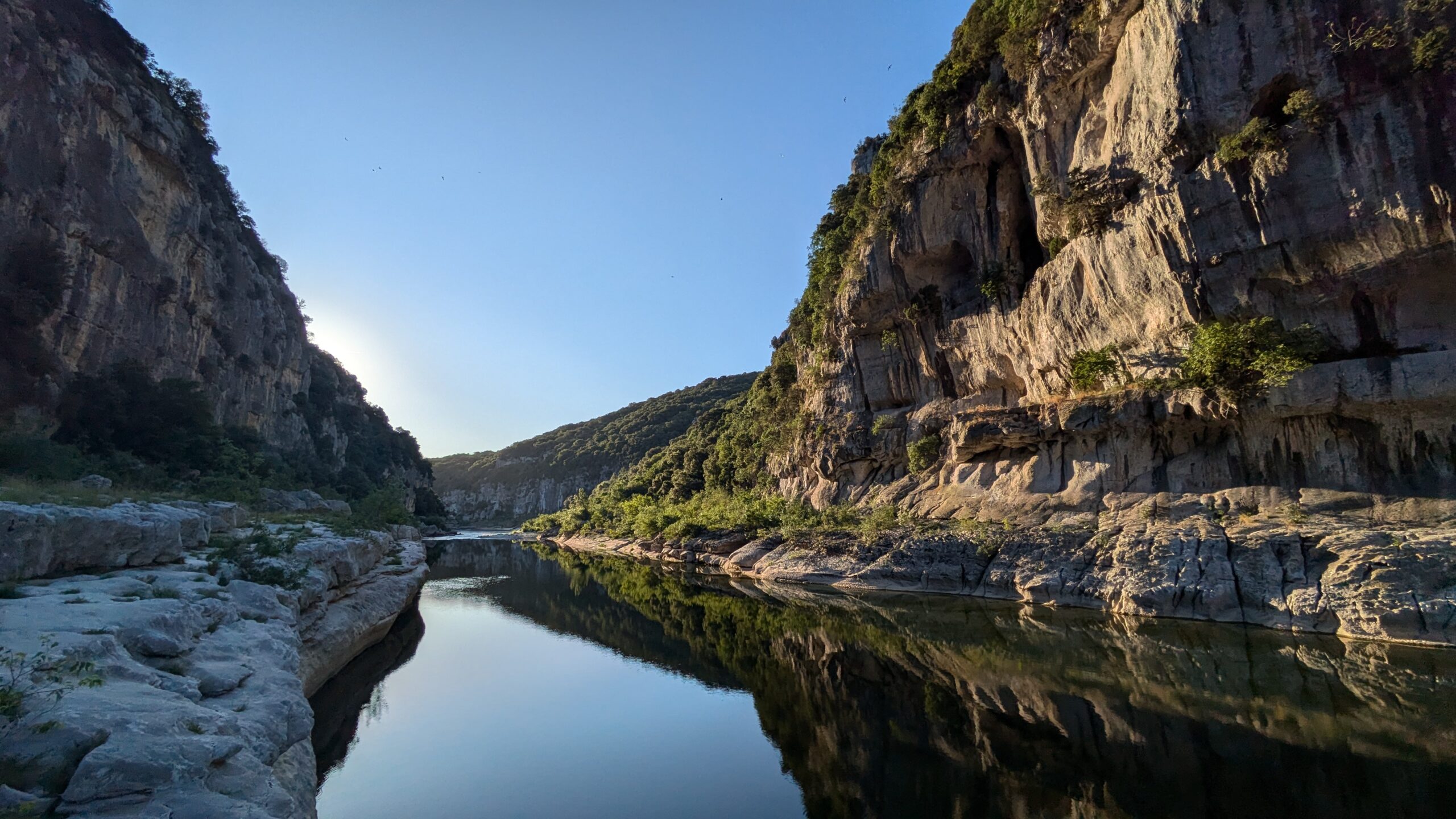
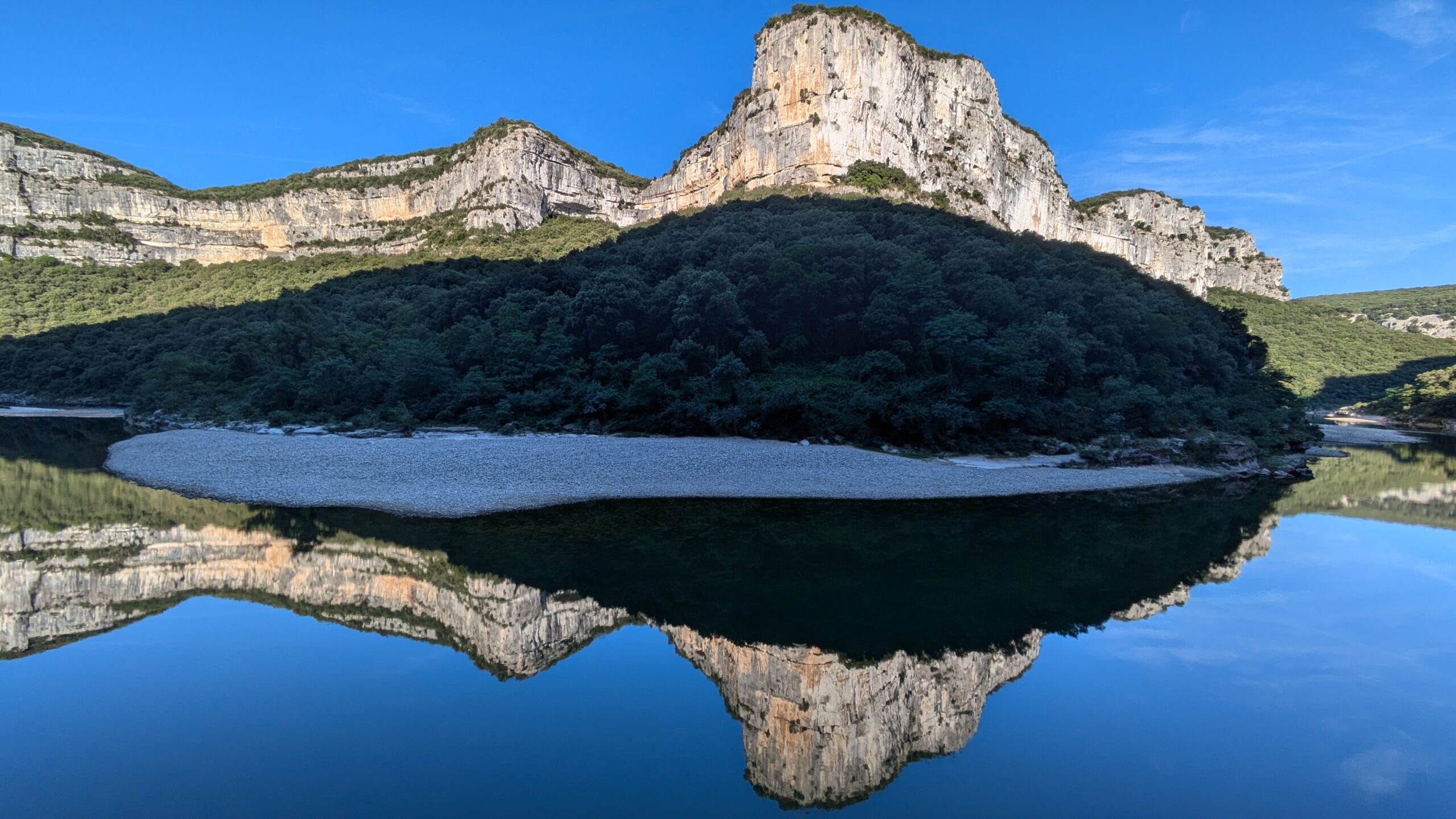
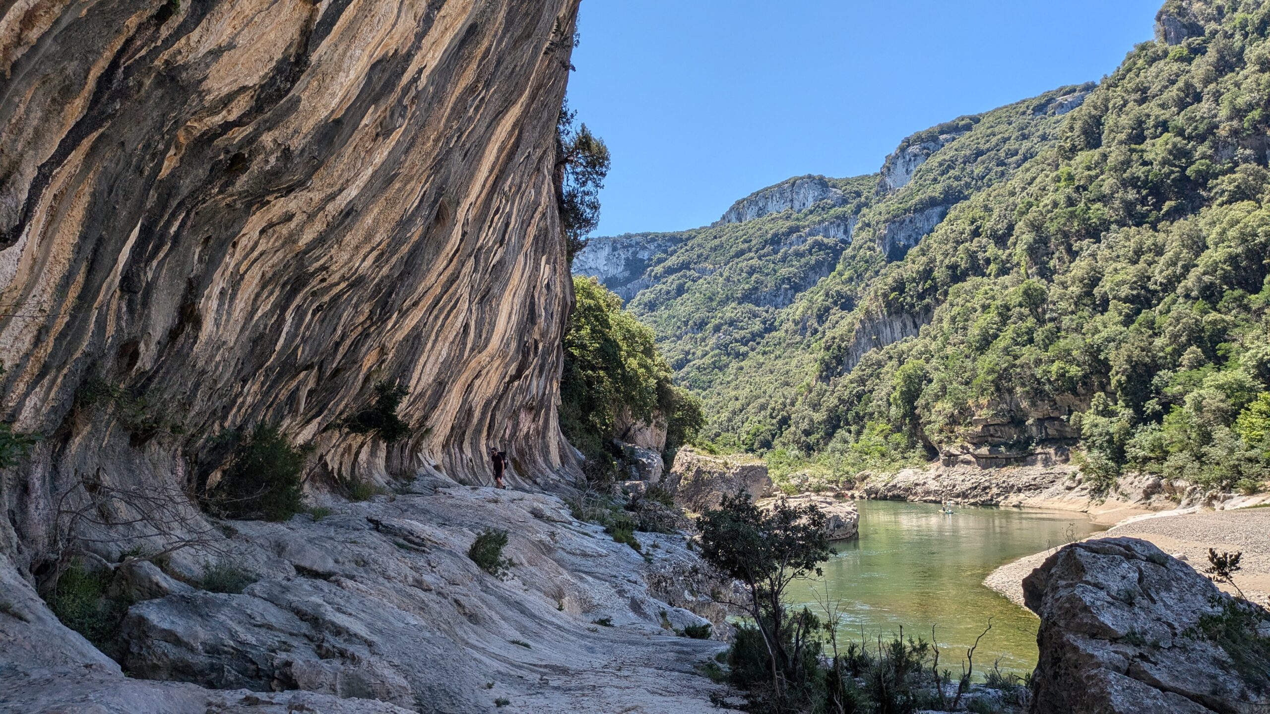
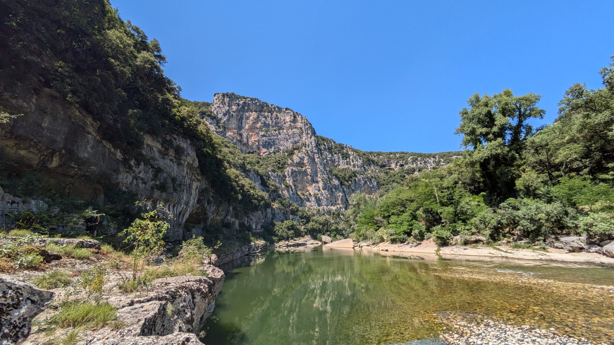
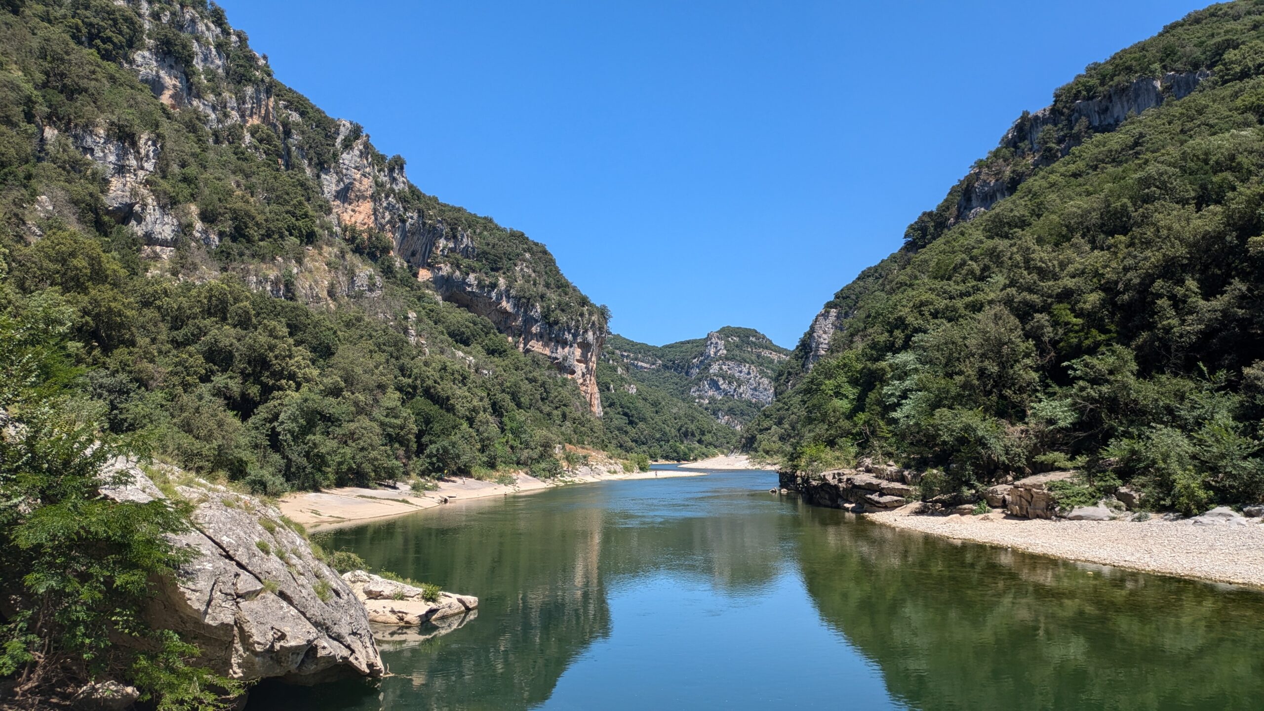
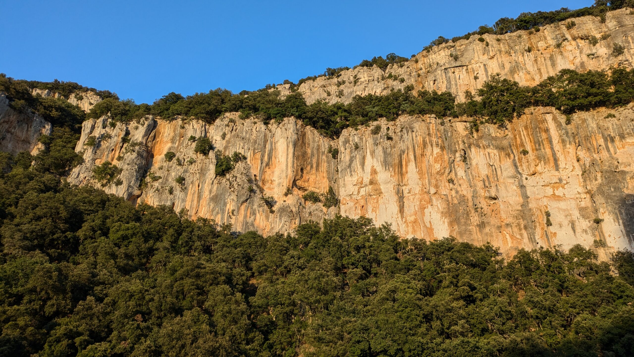
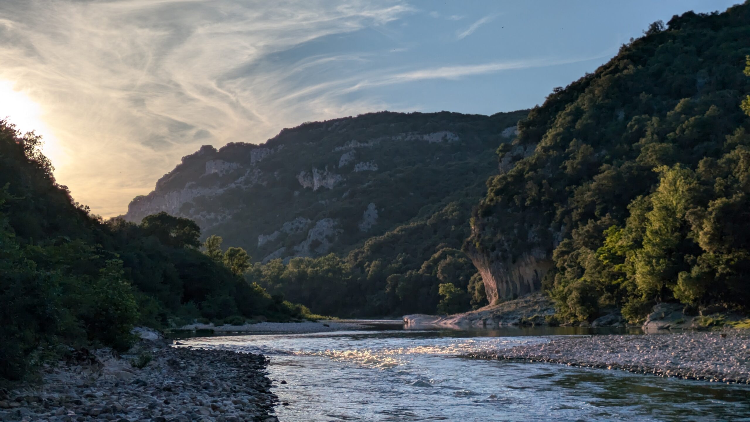
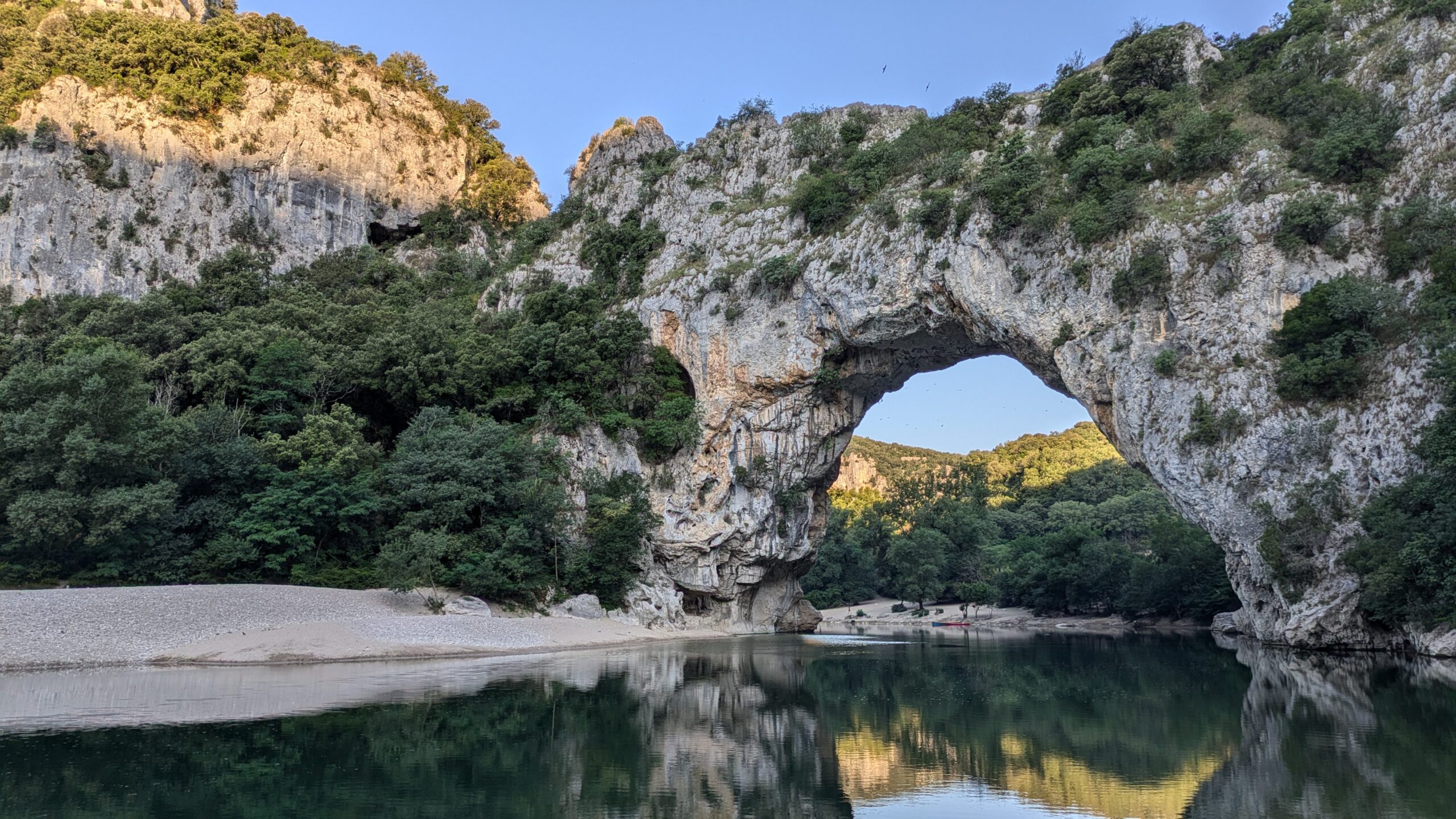
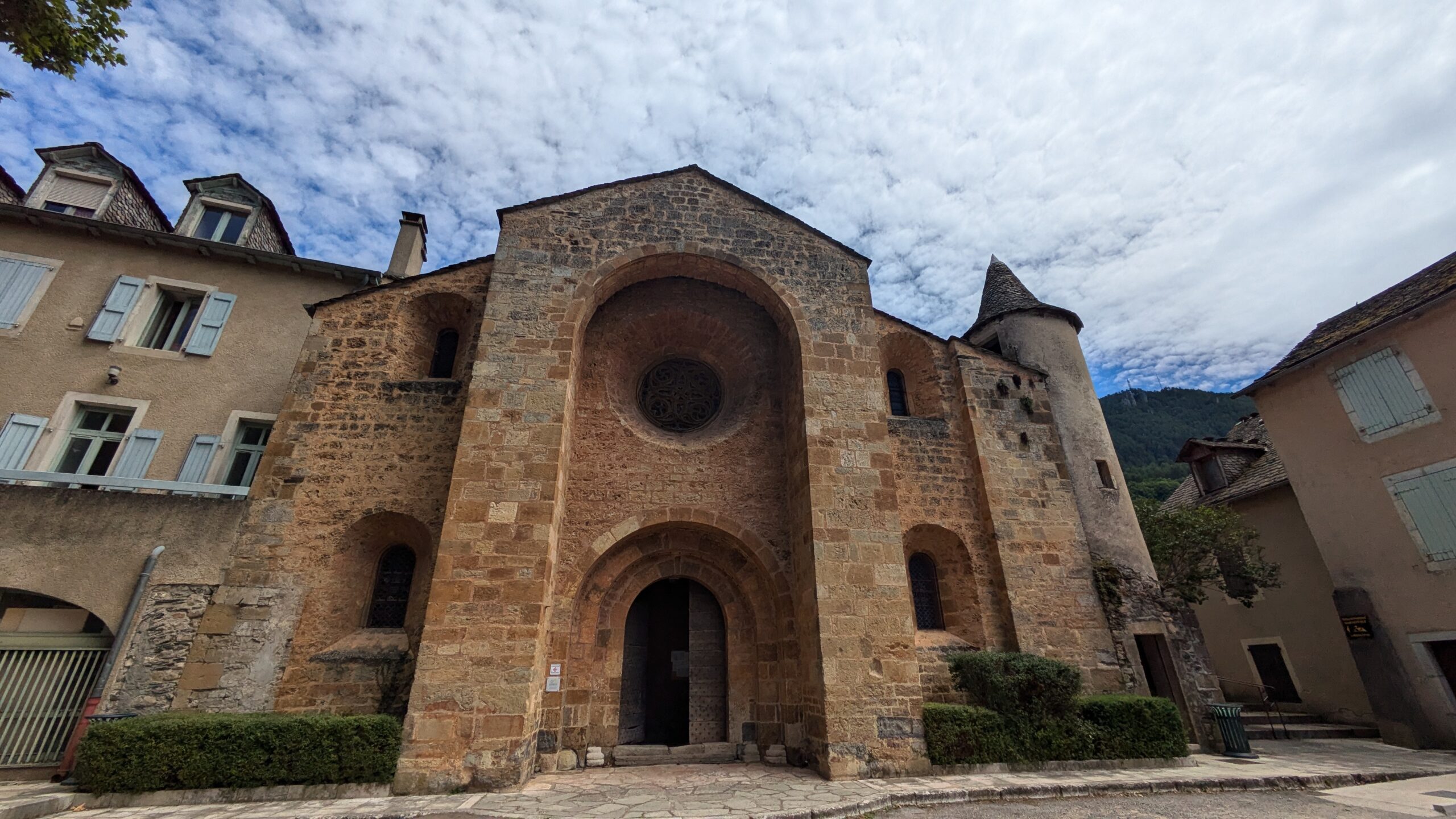
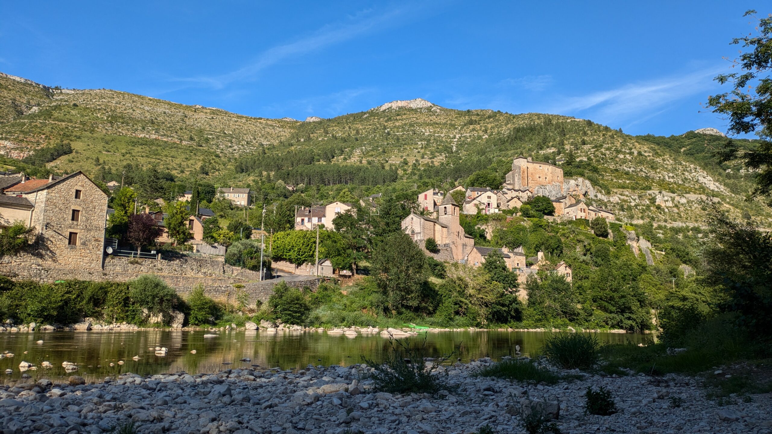
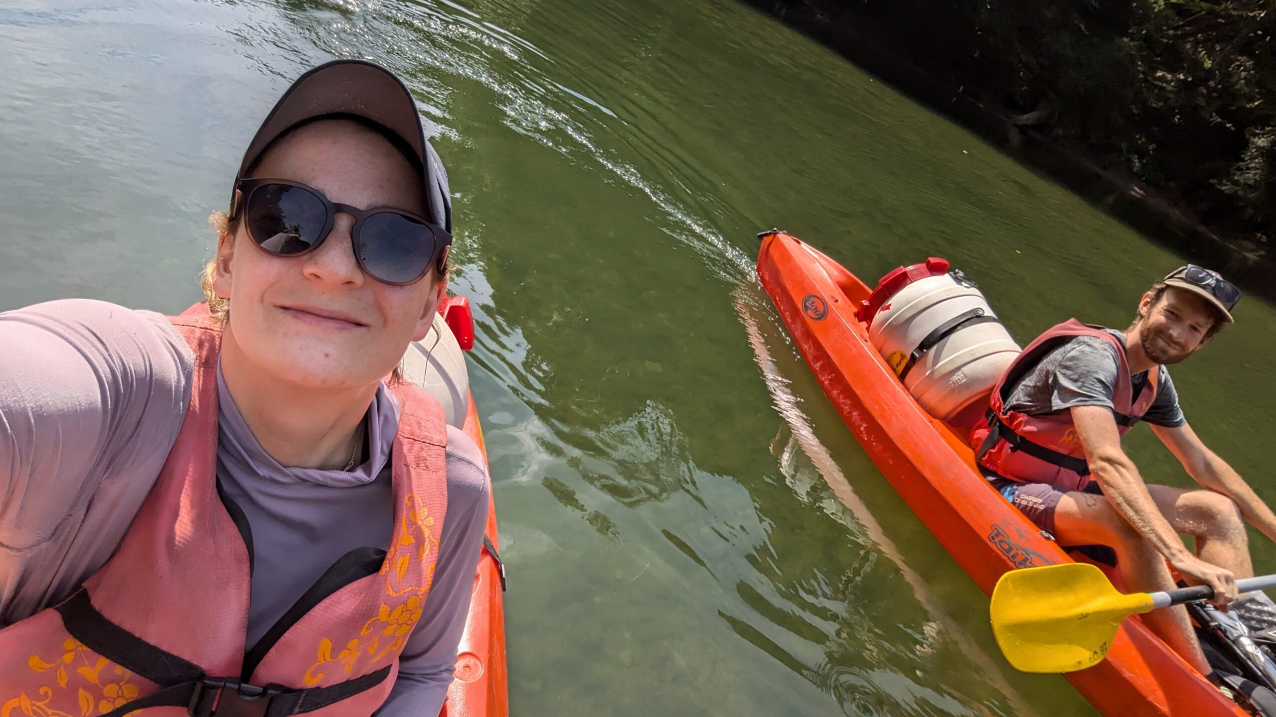
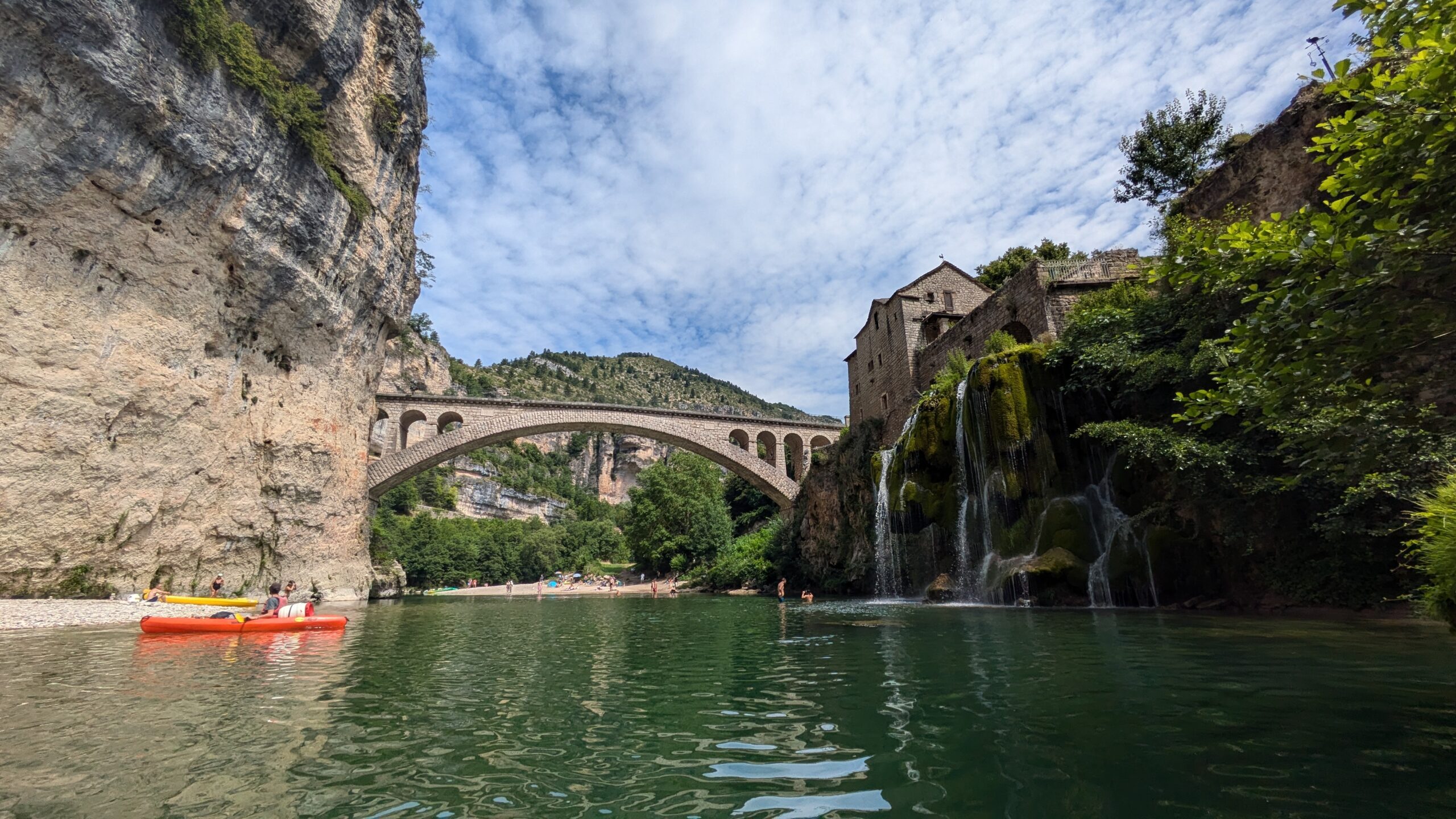
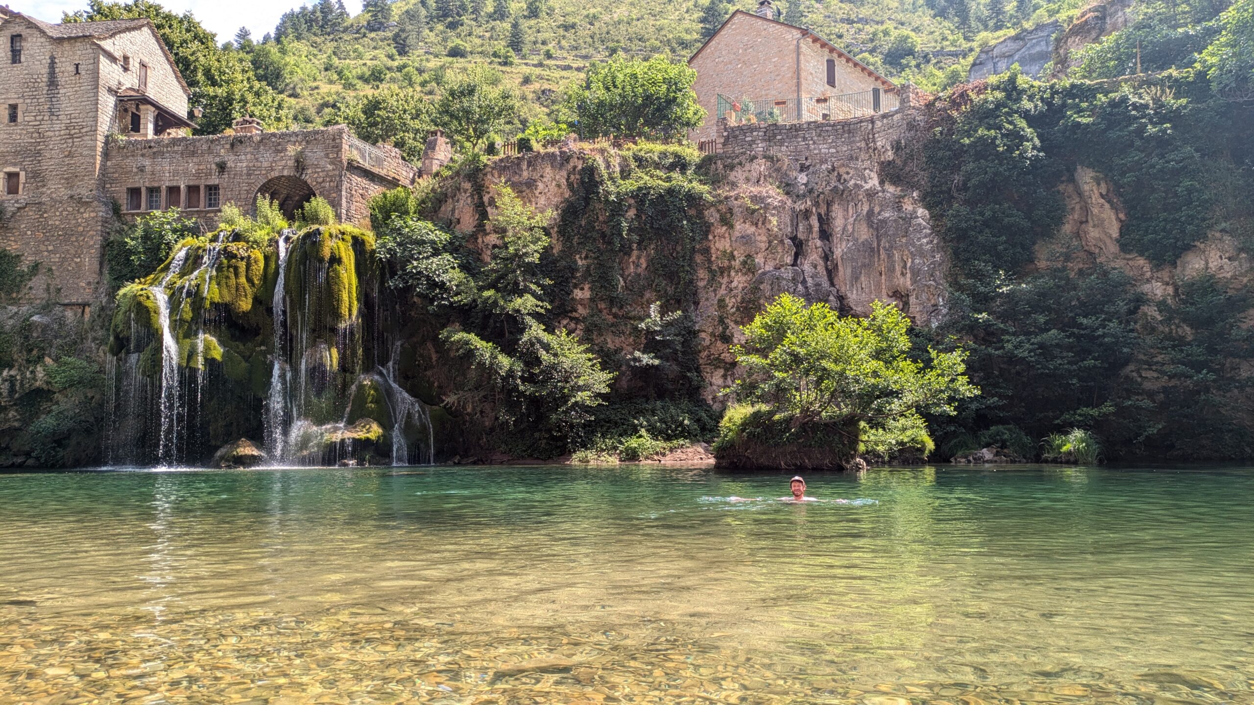
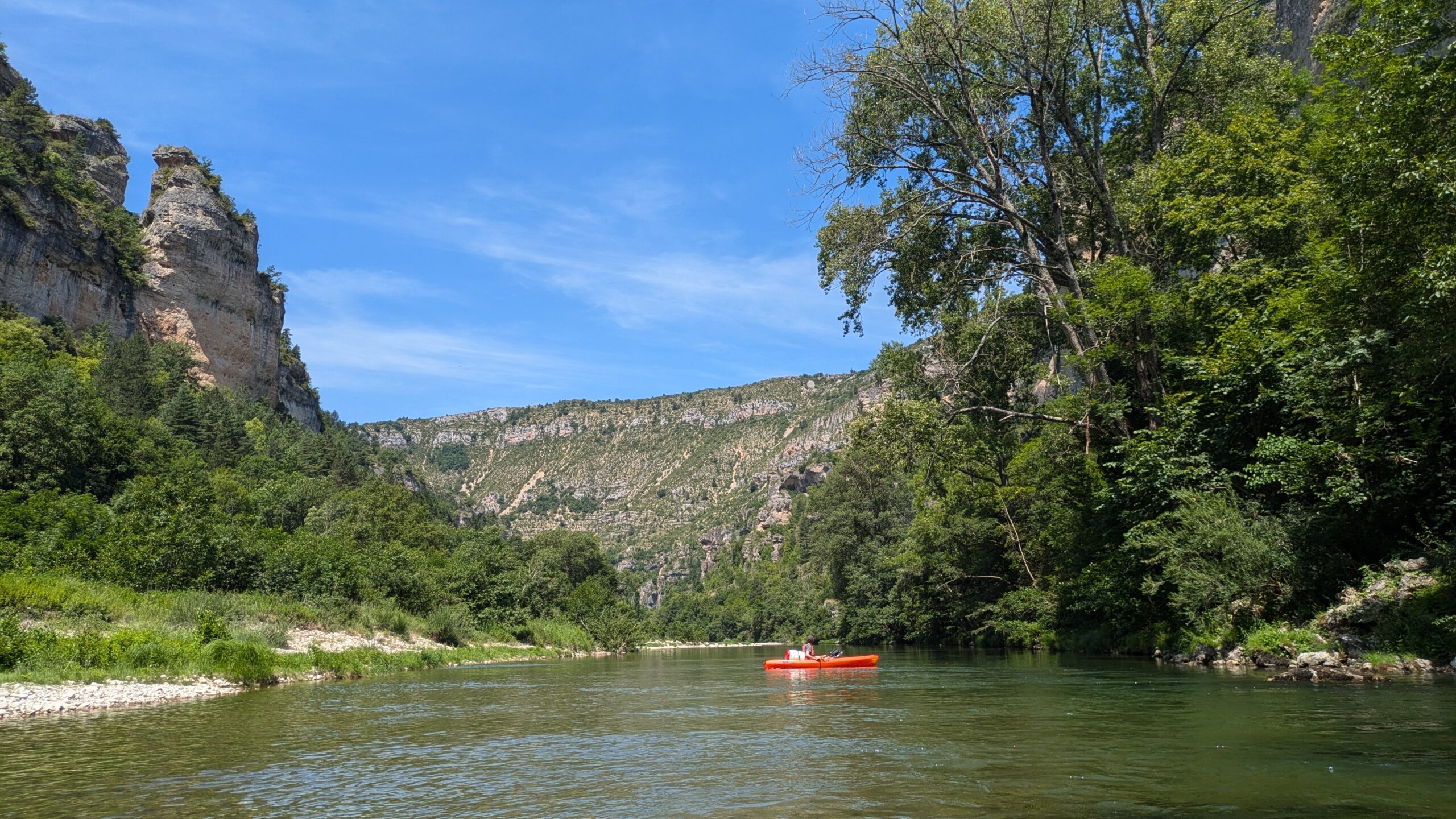
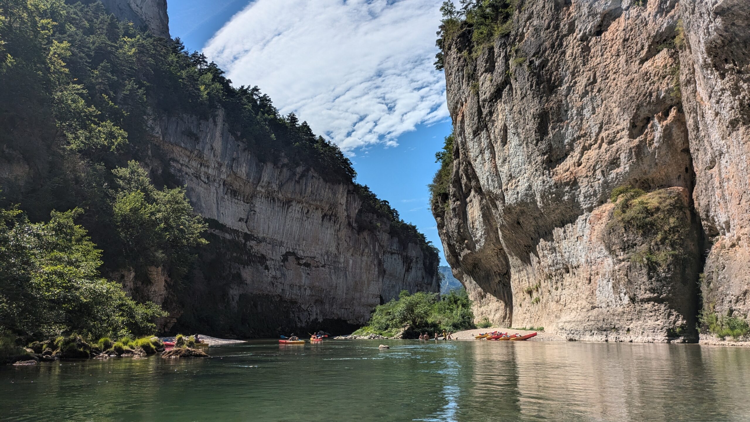
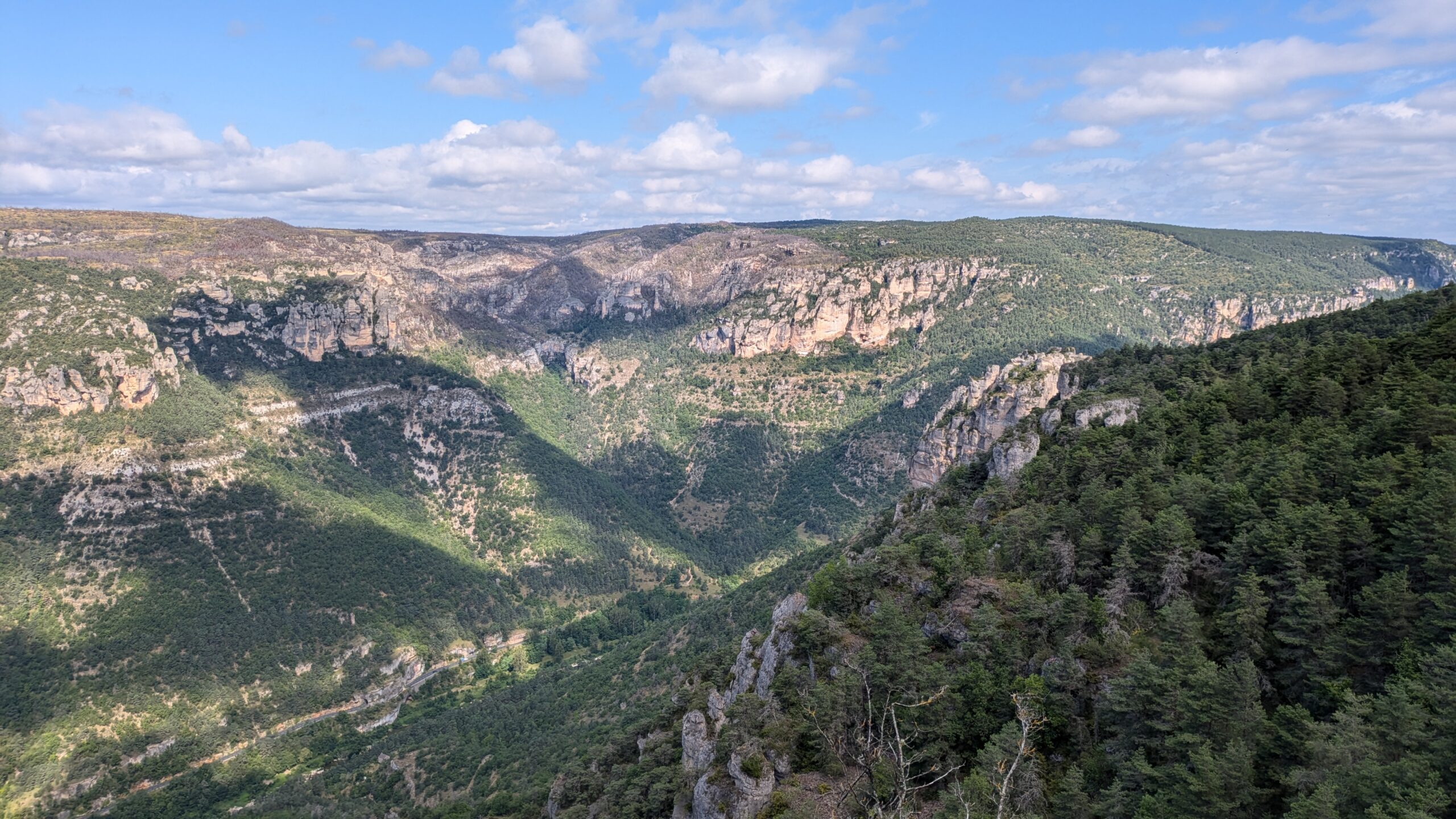
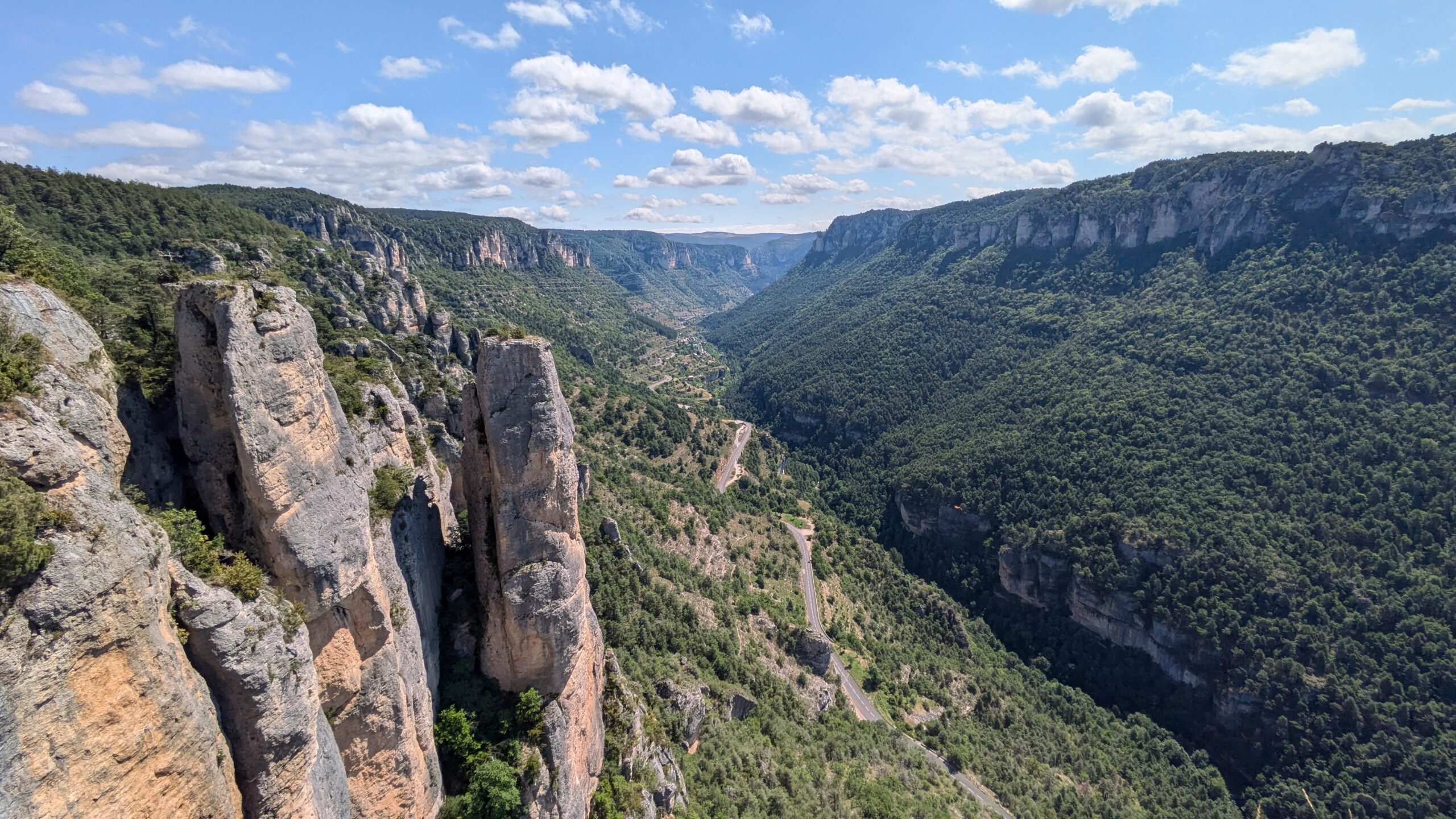
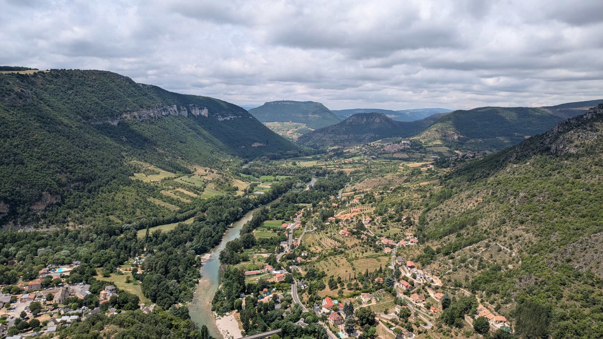
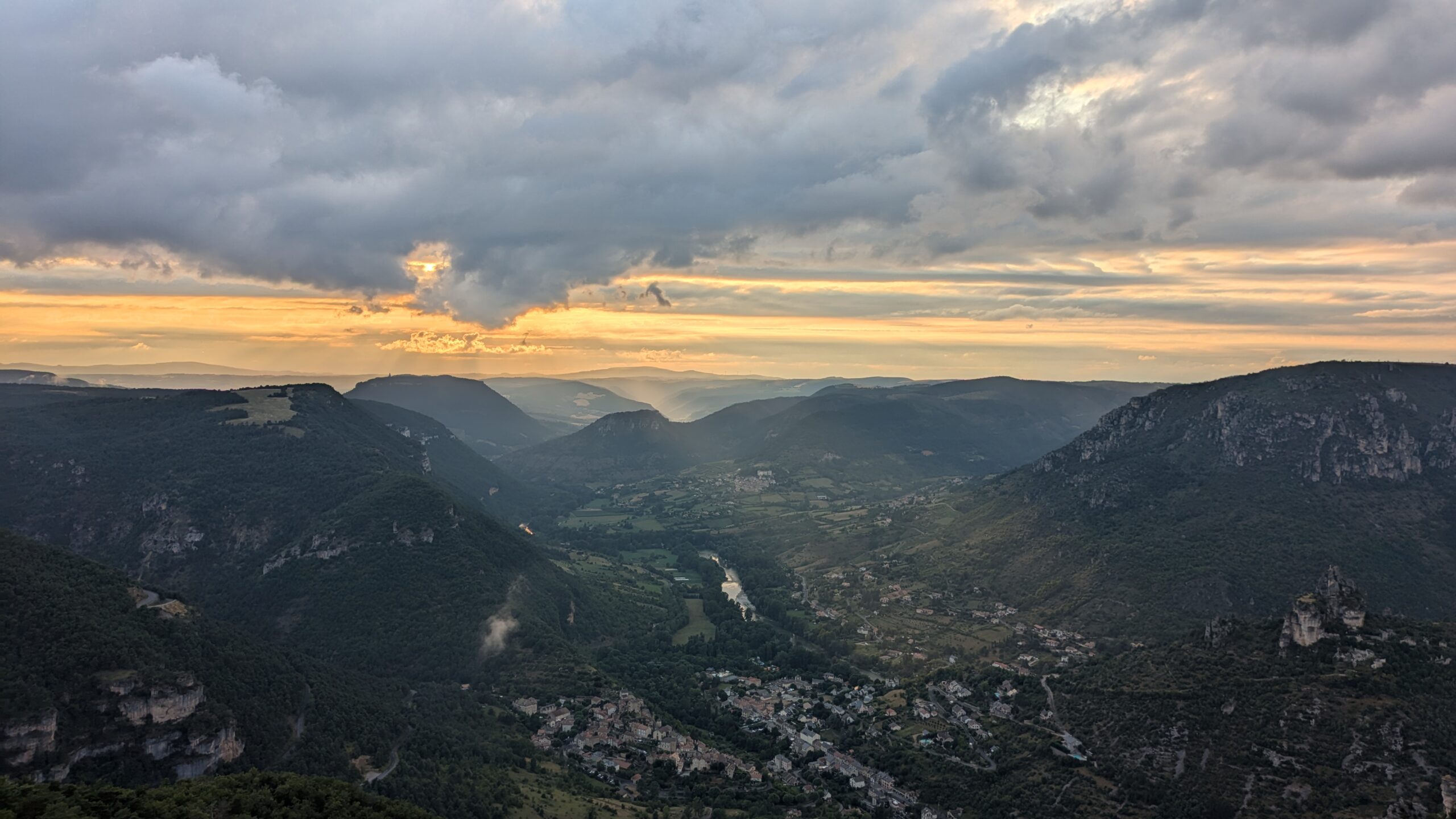
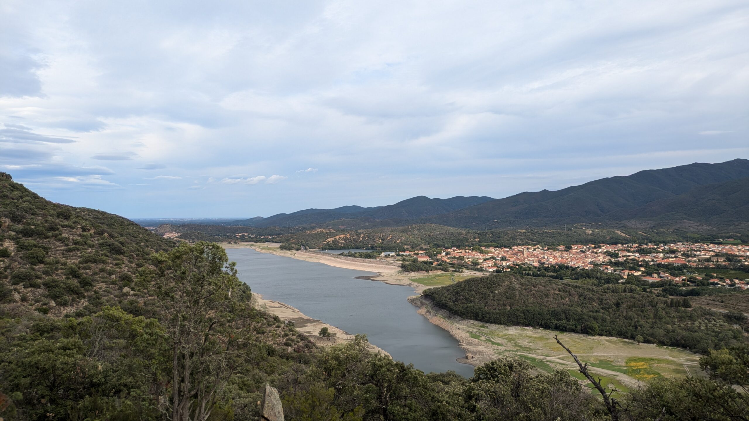
Stage 4: Gorges and Causses
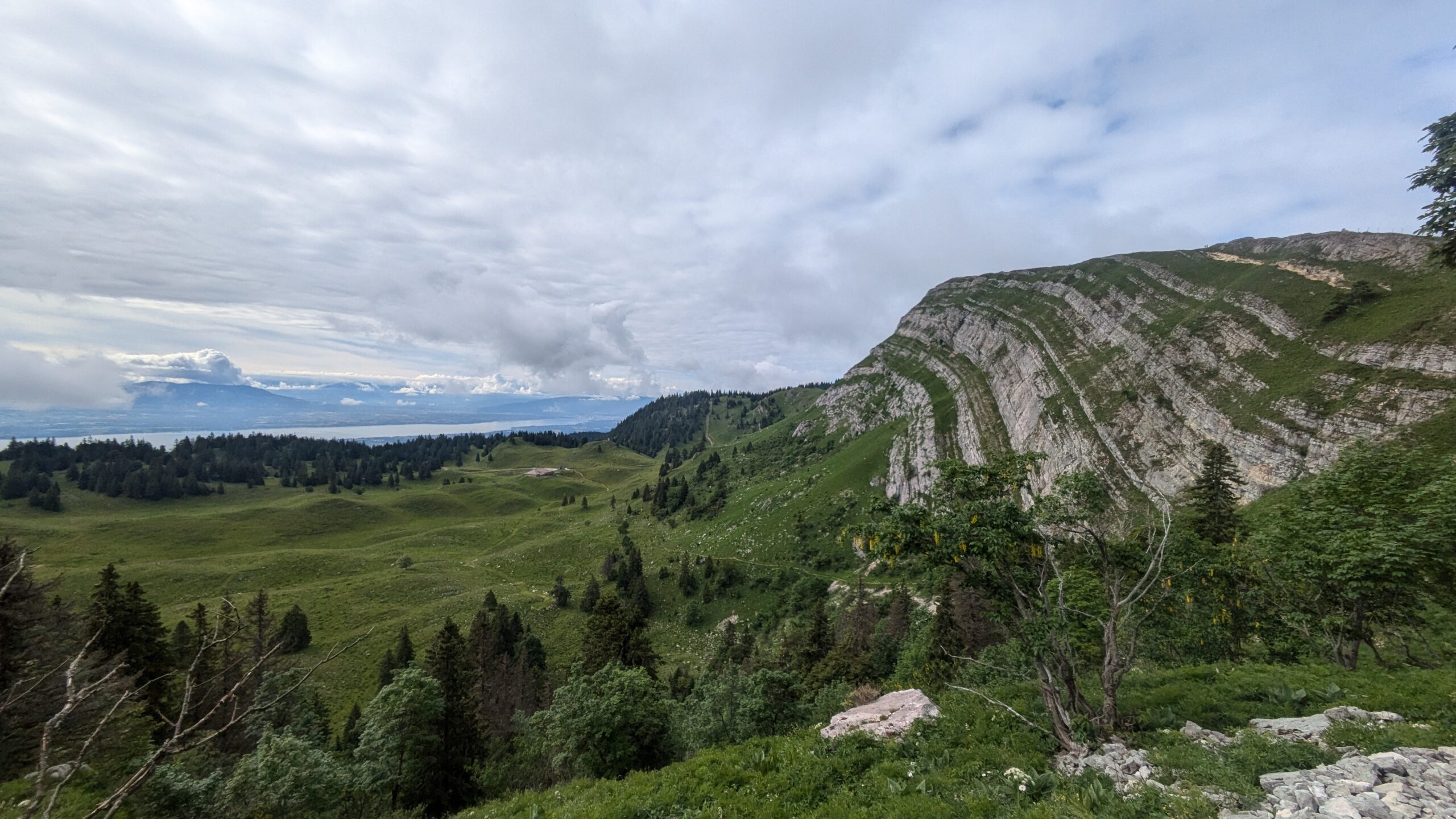
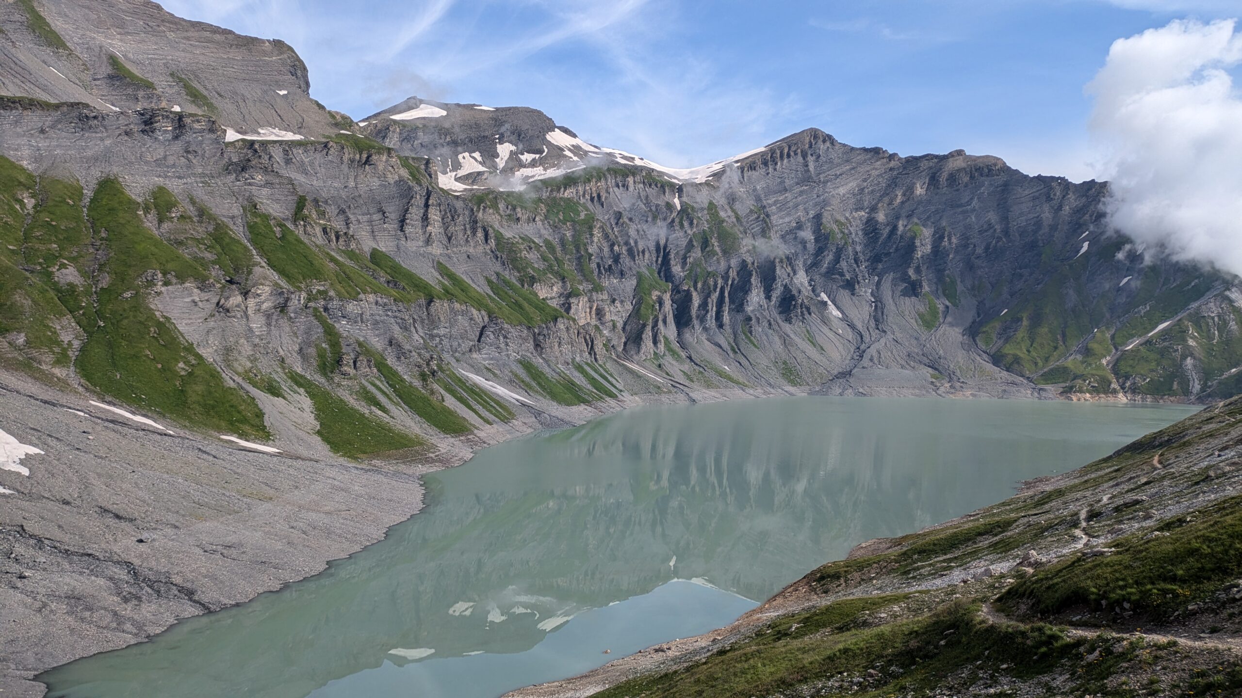
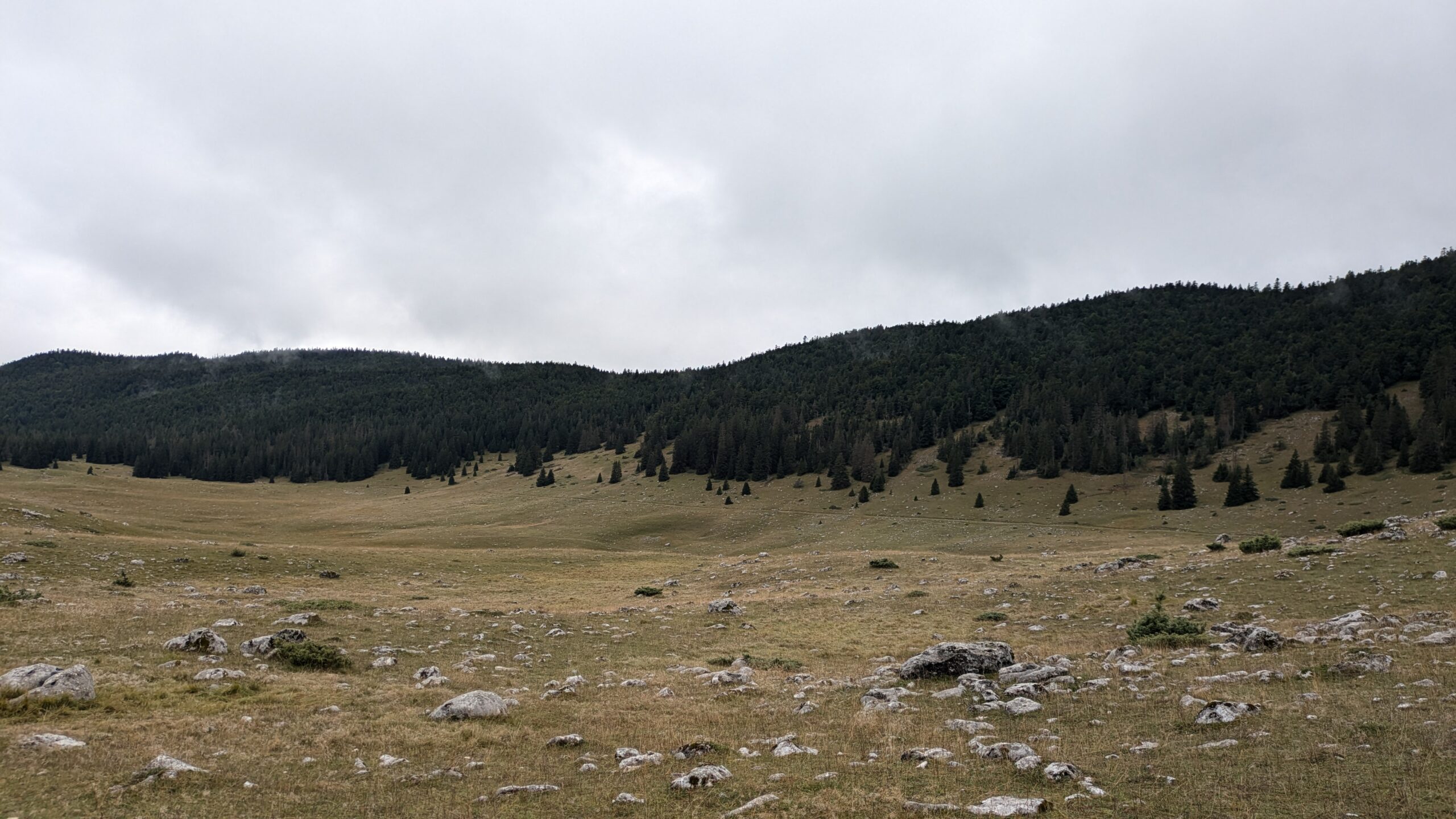
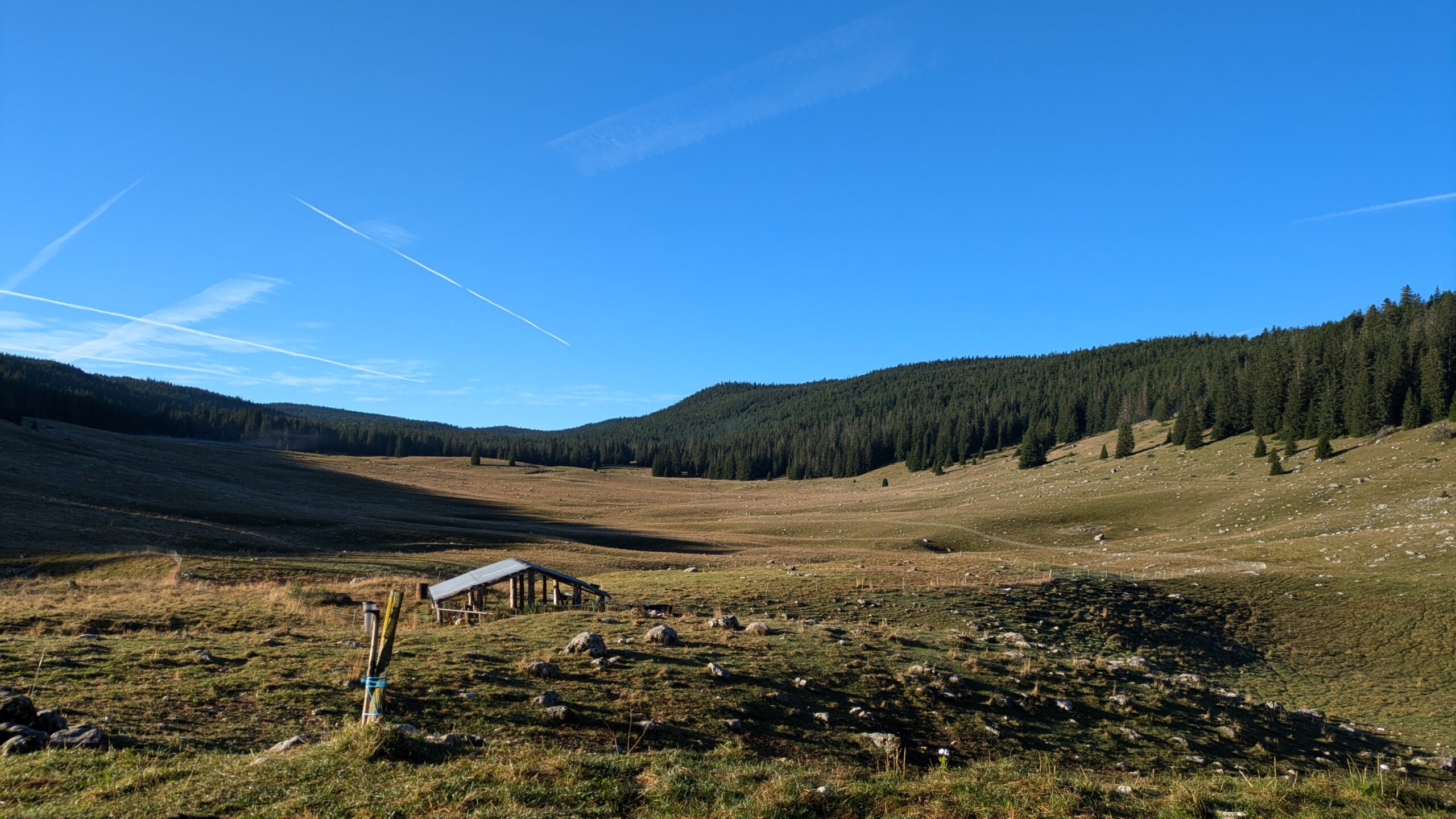
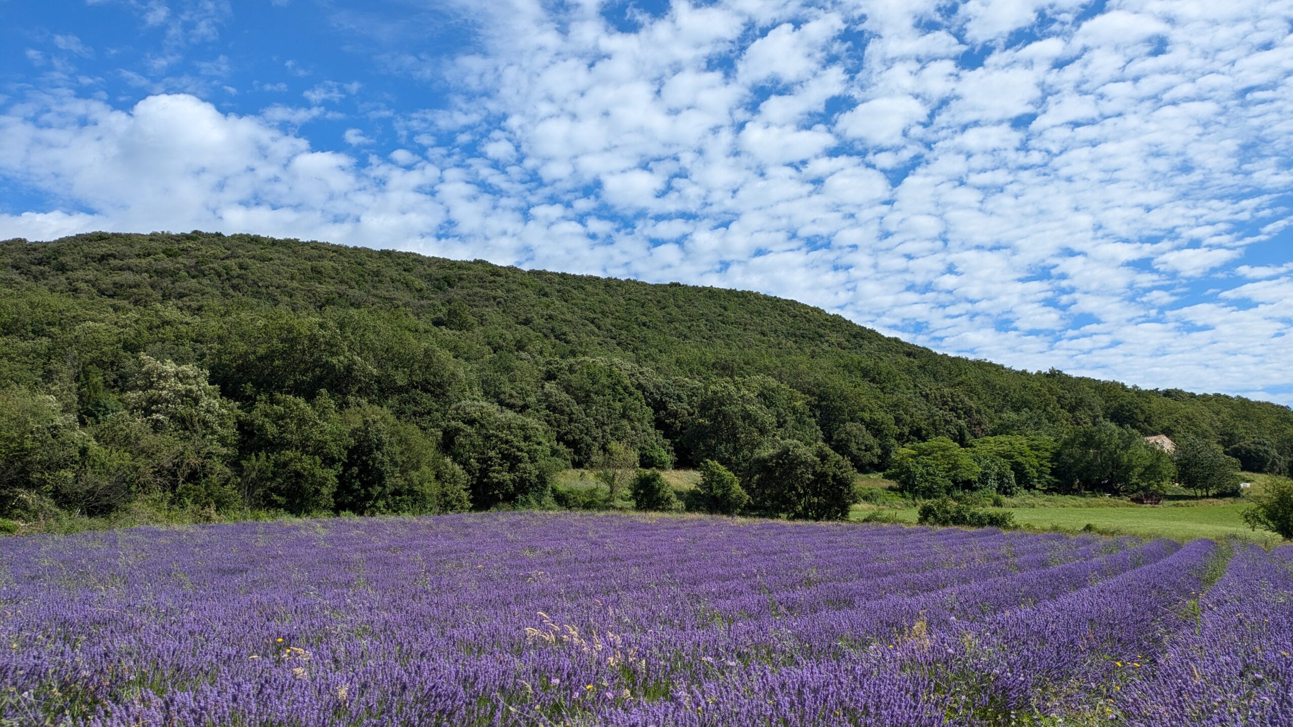
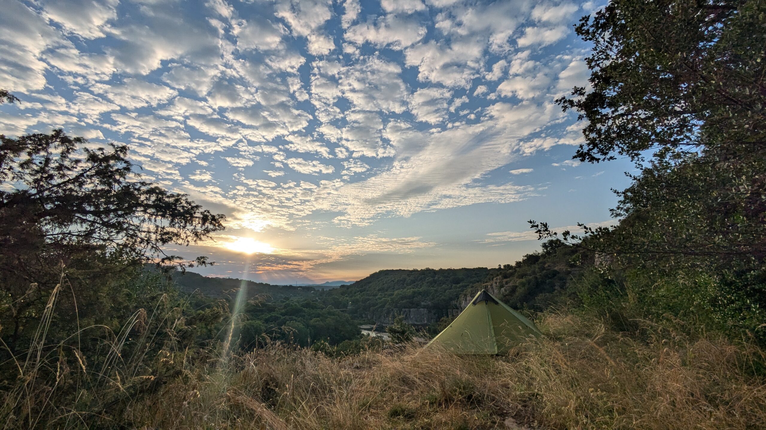
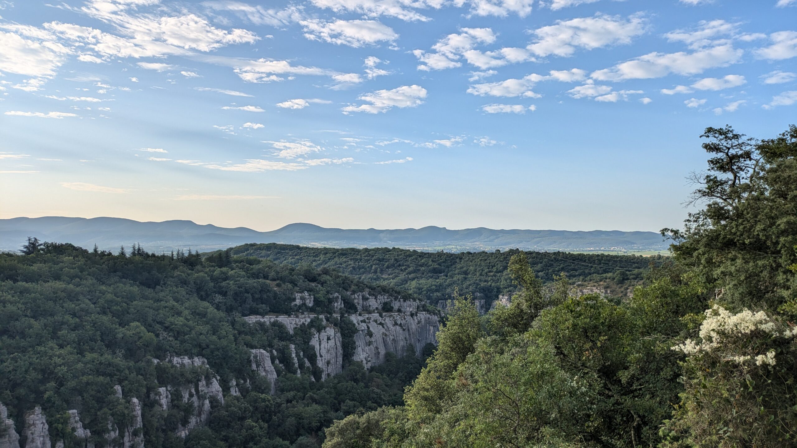
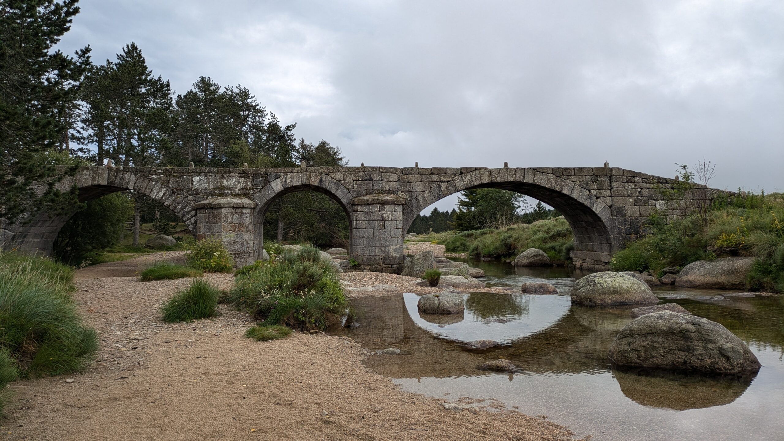
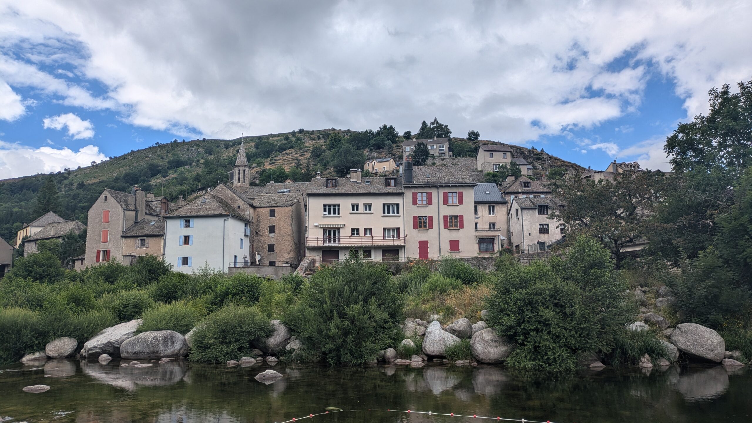
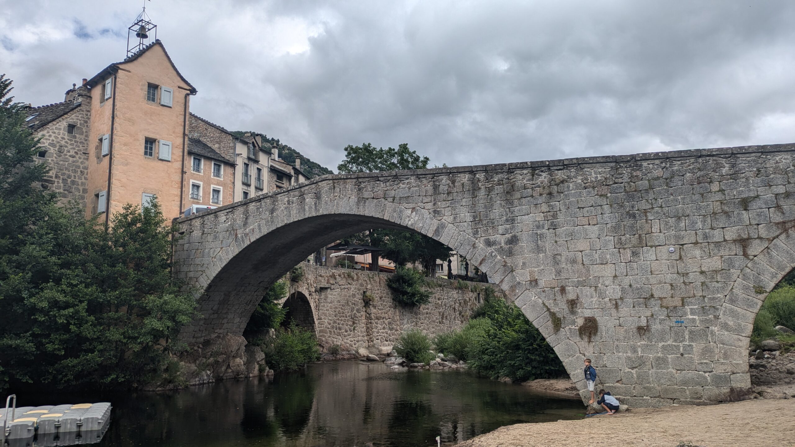
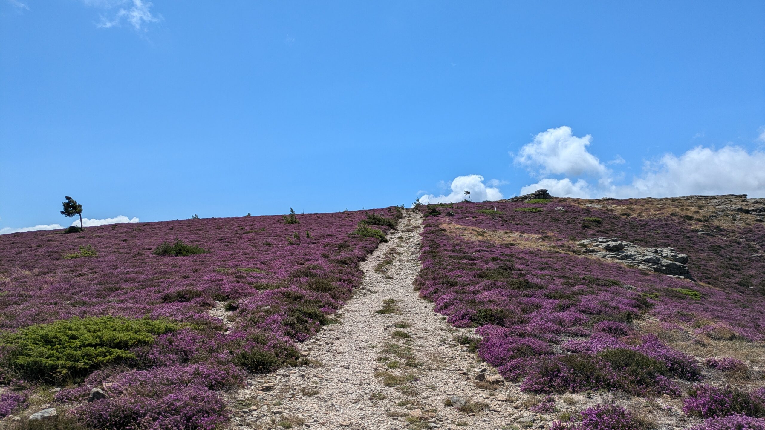
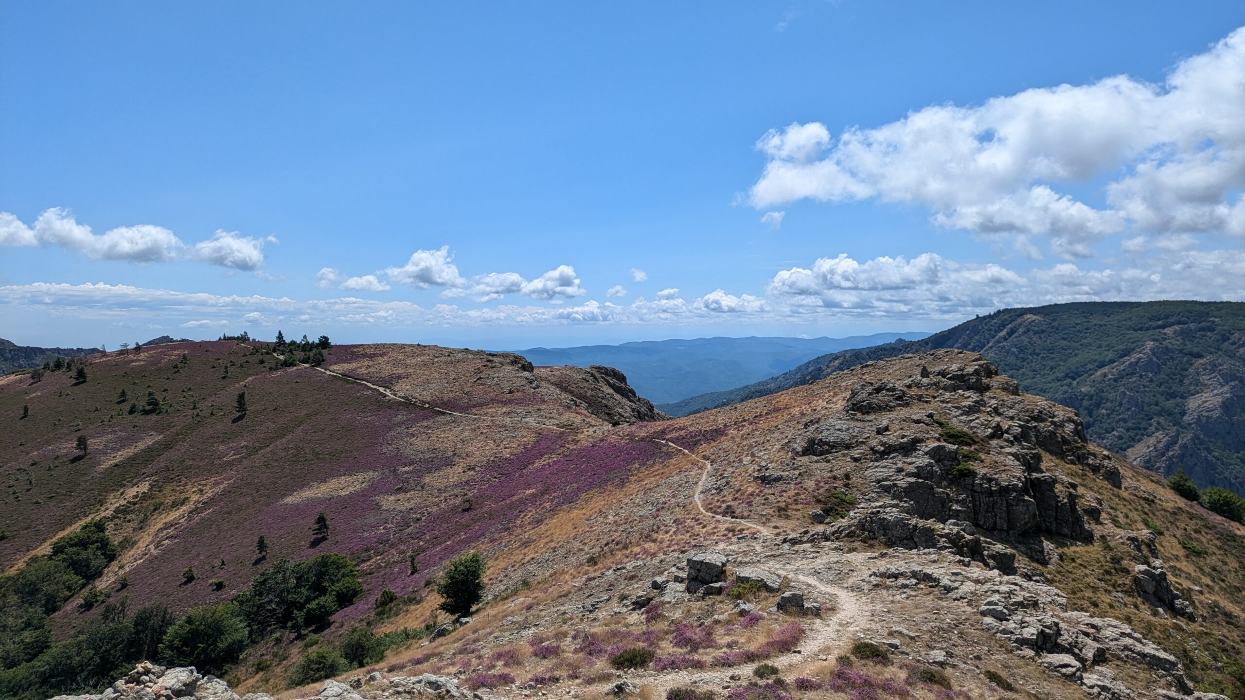
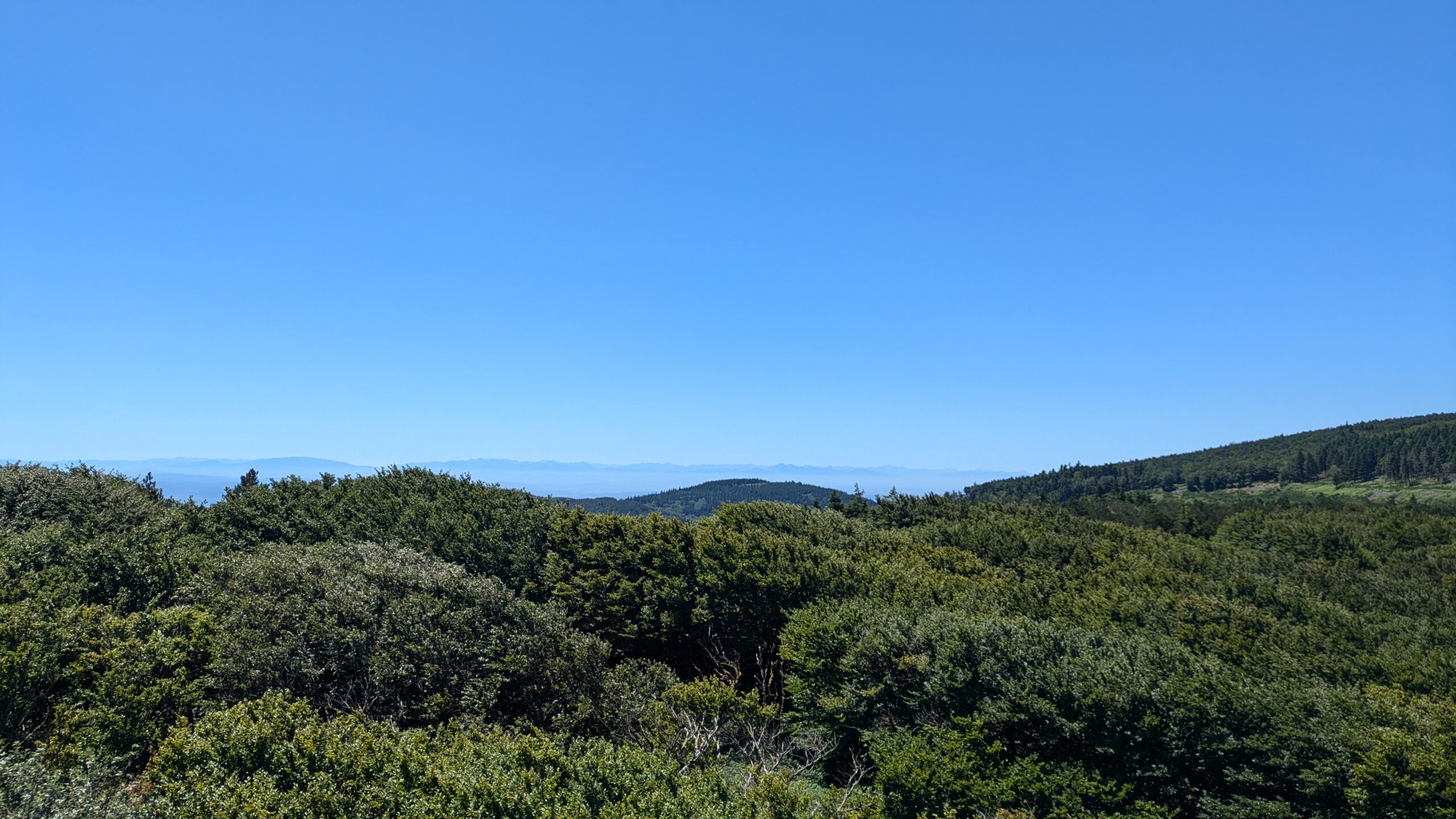
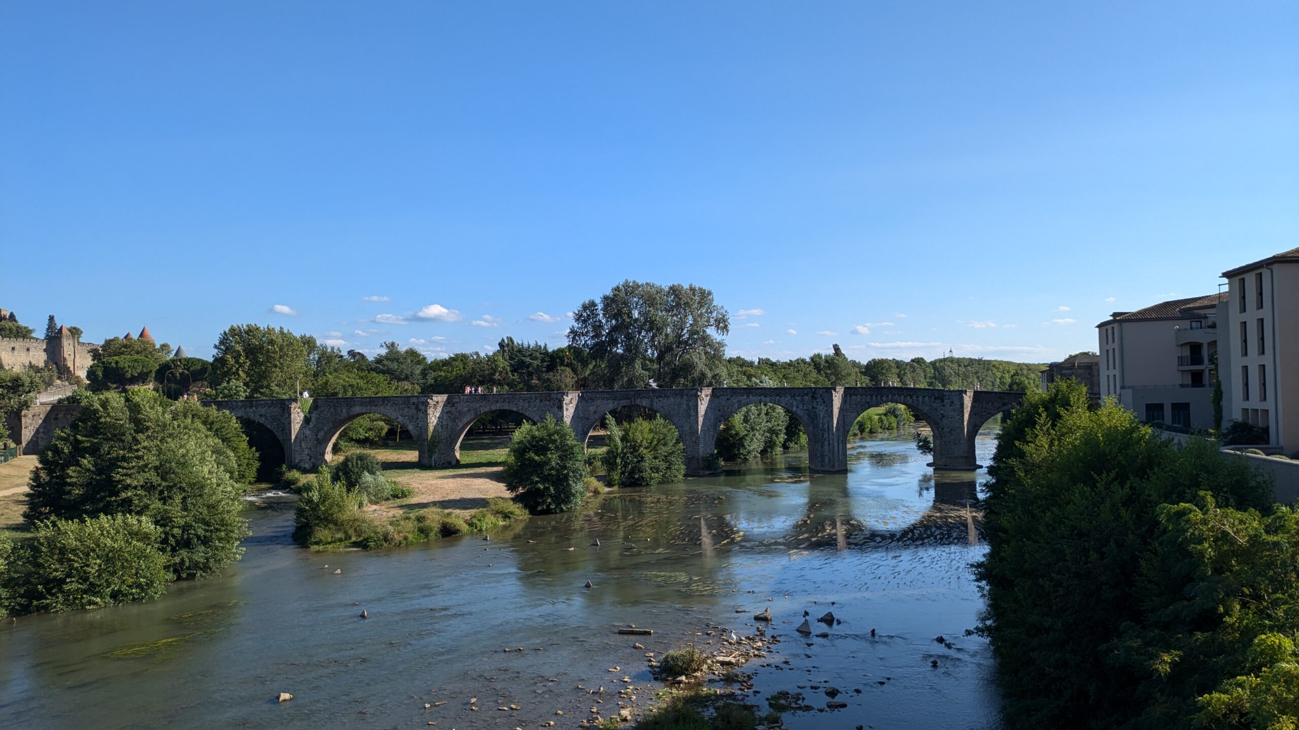
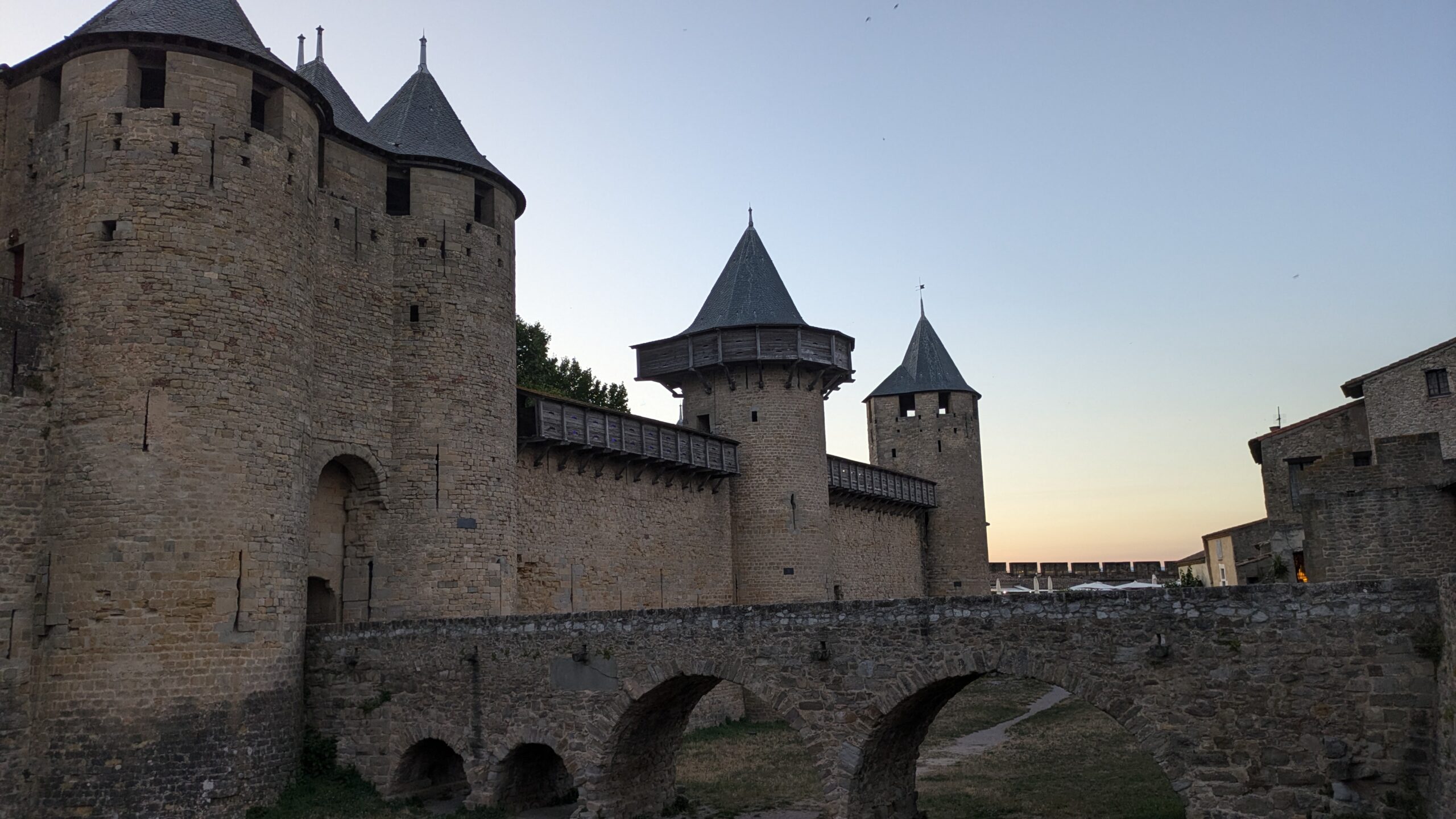
Stage 4 of the HexaTrek stretches over 514 km through the Cévennes, the Tarn, and the Languedoc, and is completed over a period of 15 to 25 days. The total positive elevation gain is 14,300 meters, offering hikers spectacular landscapes shaped by gorges and rivers. This stage allows the discovery of impressive viewpoints across four natural parks, with the option of taking an alternative route by canoe or kayak through the Ardèche or Tarn gorges.


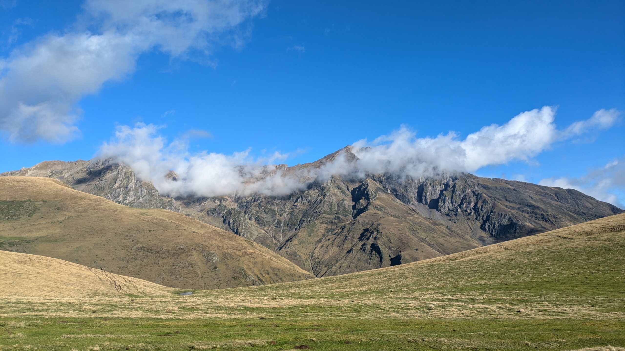
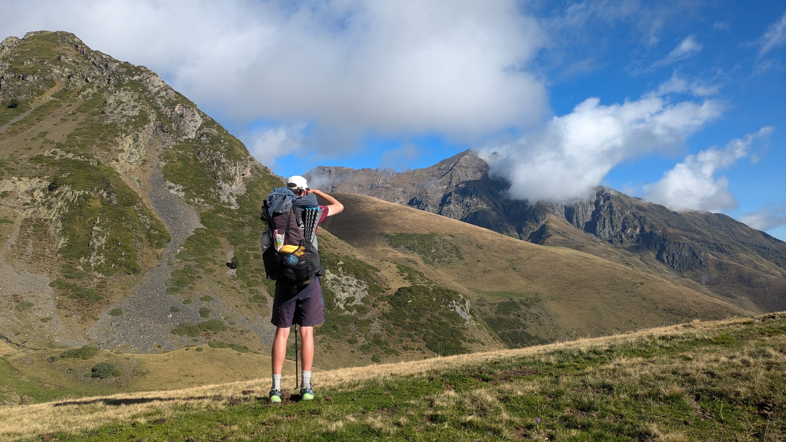
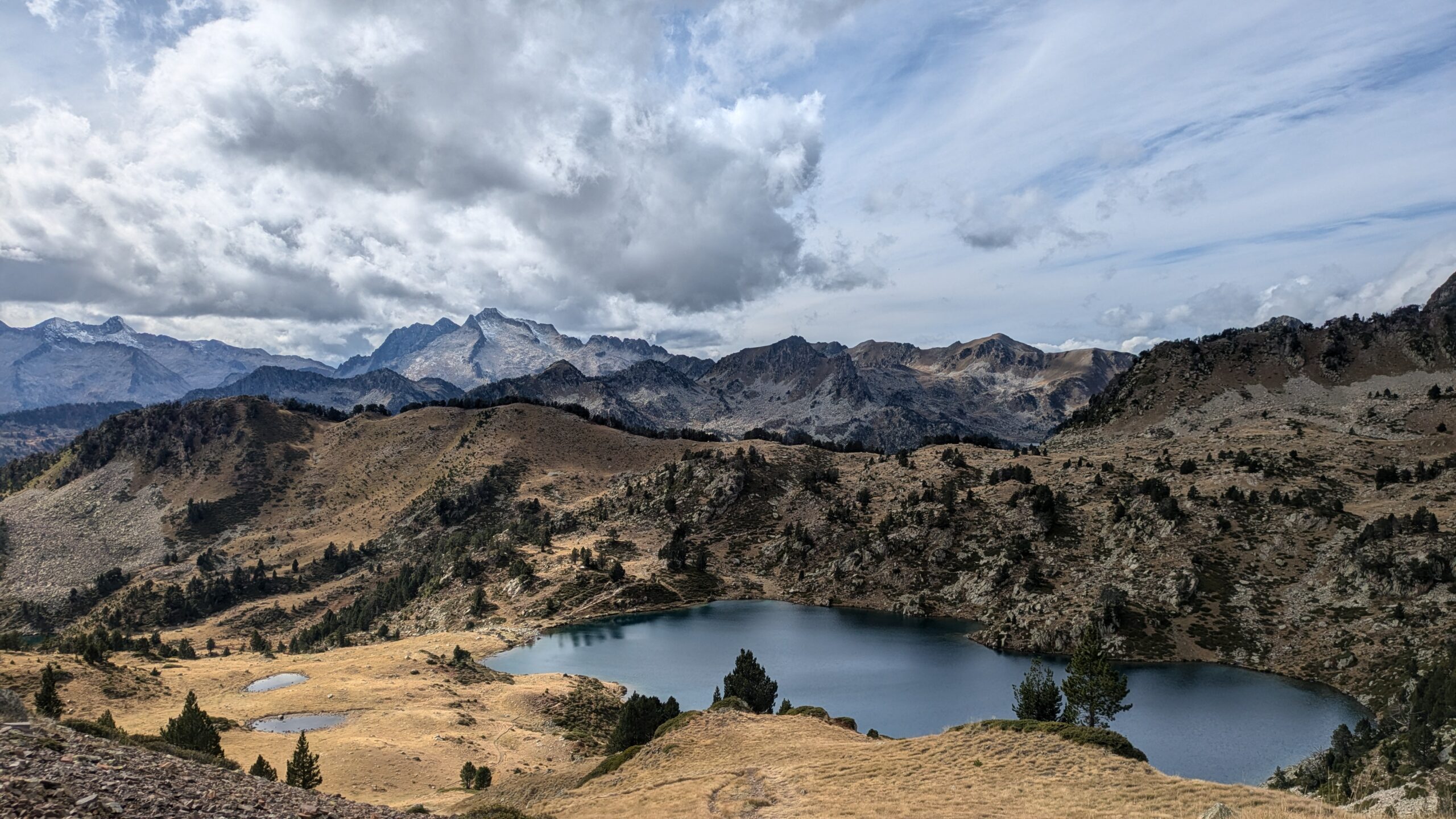
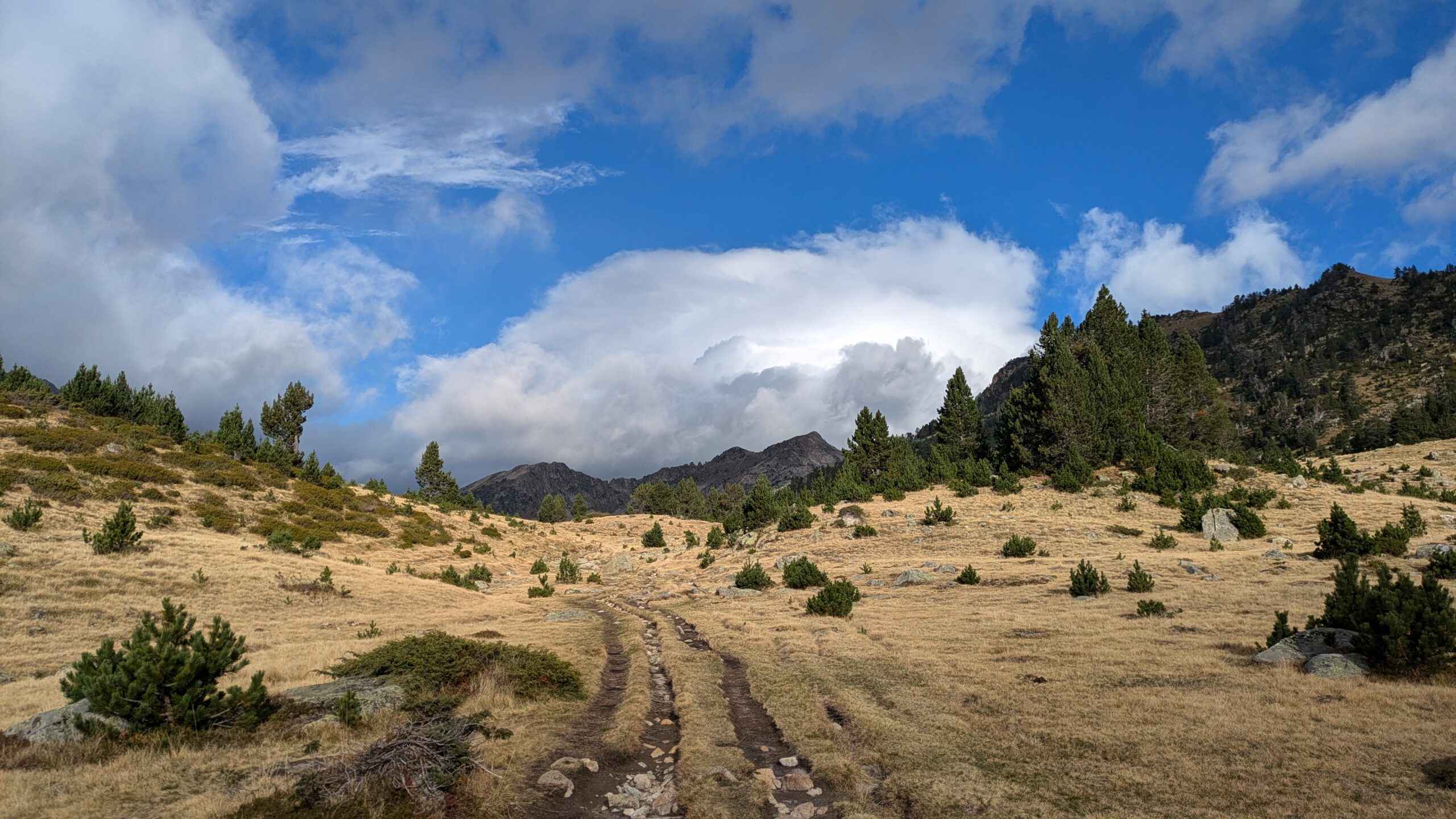
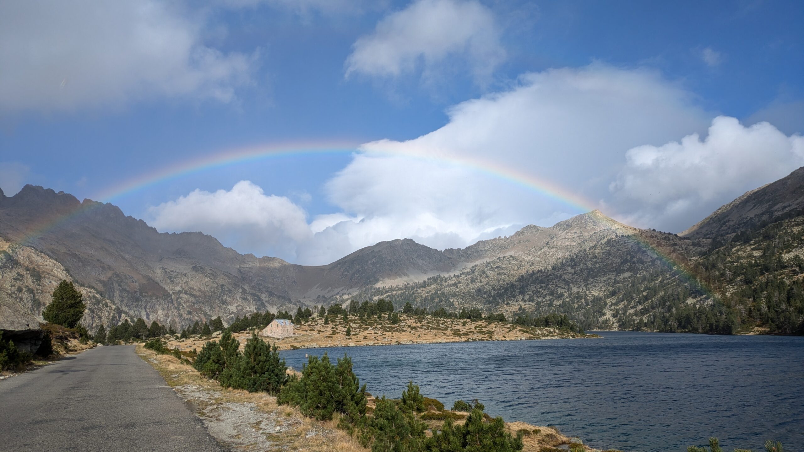
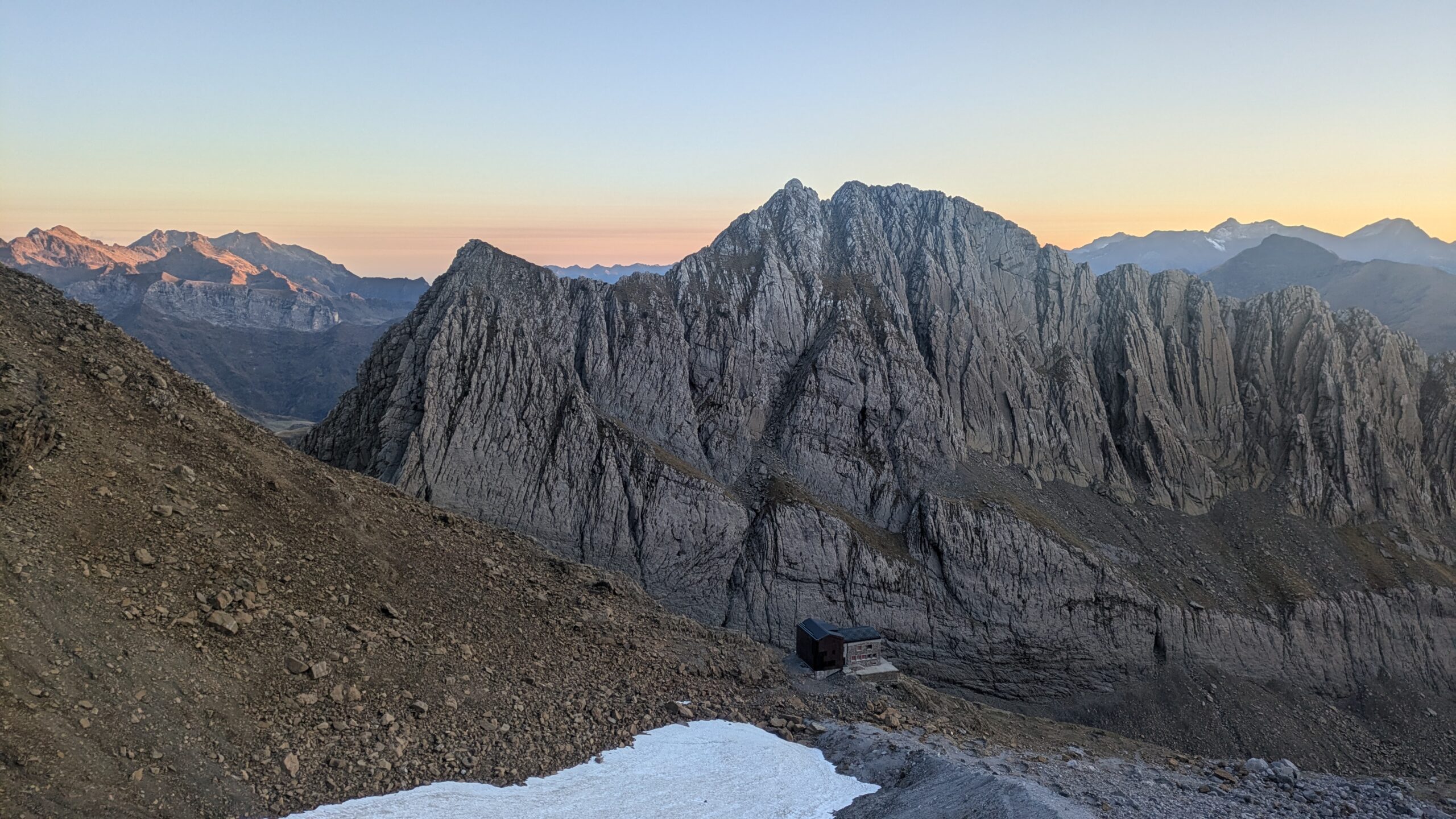
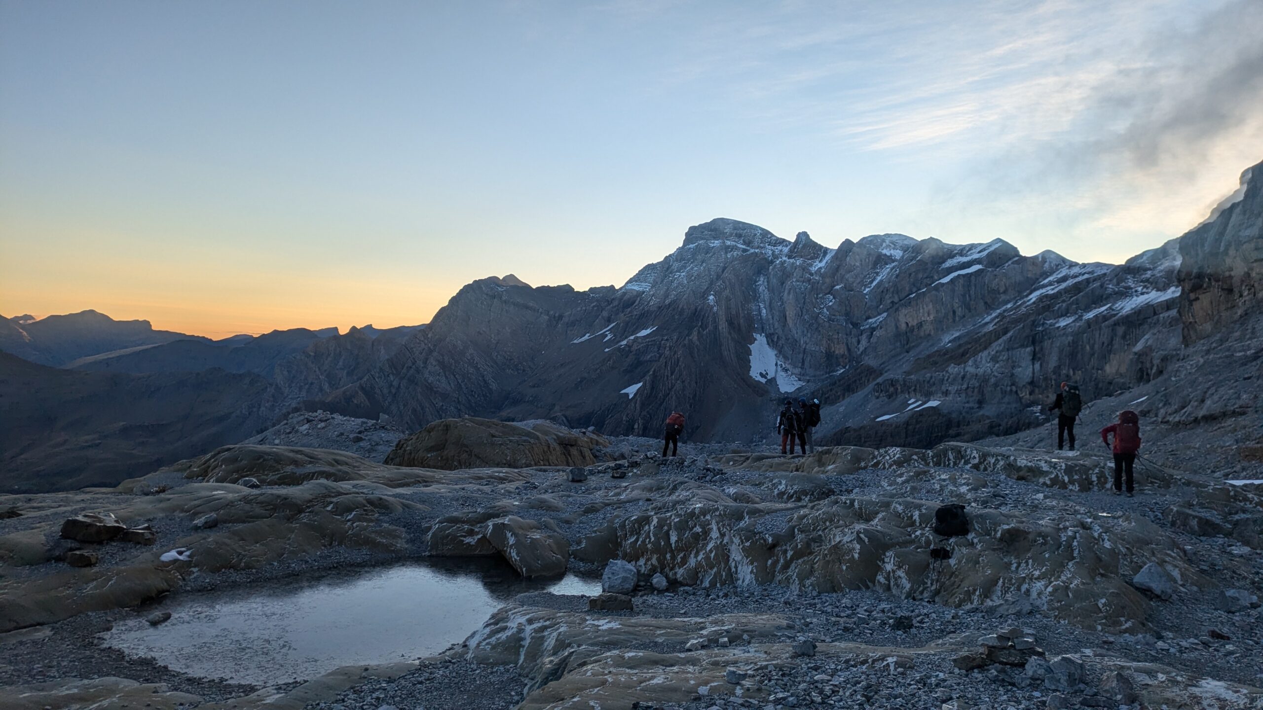
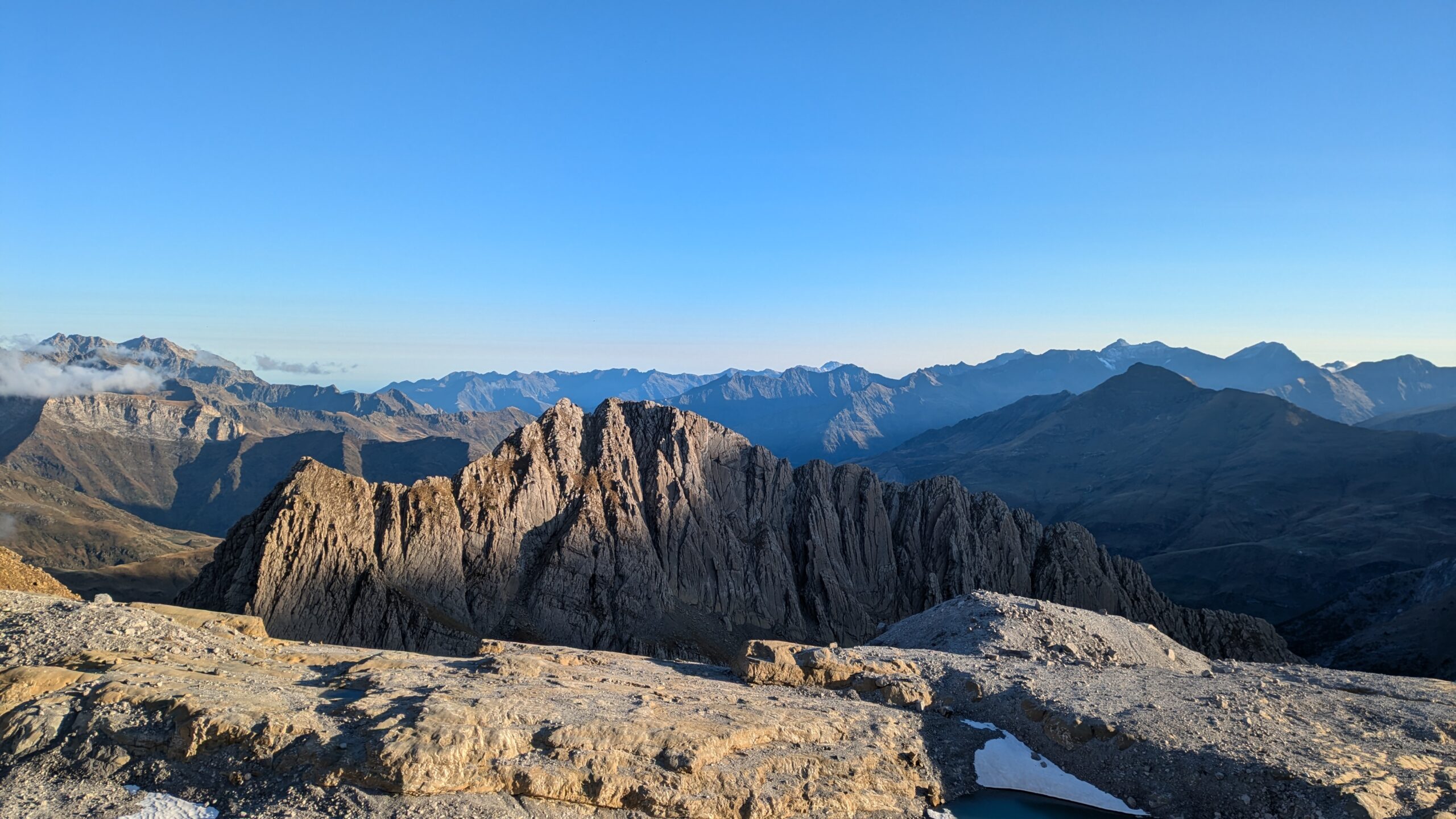
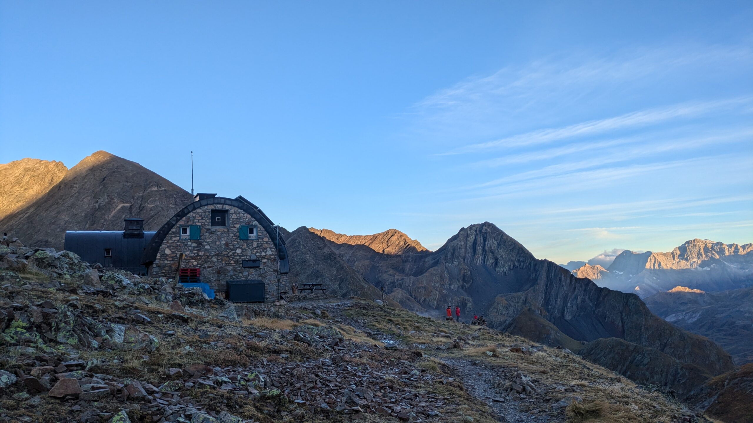
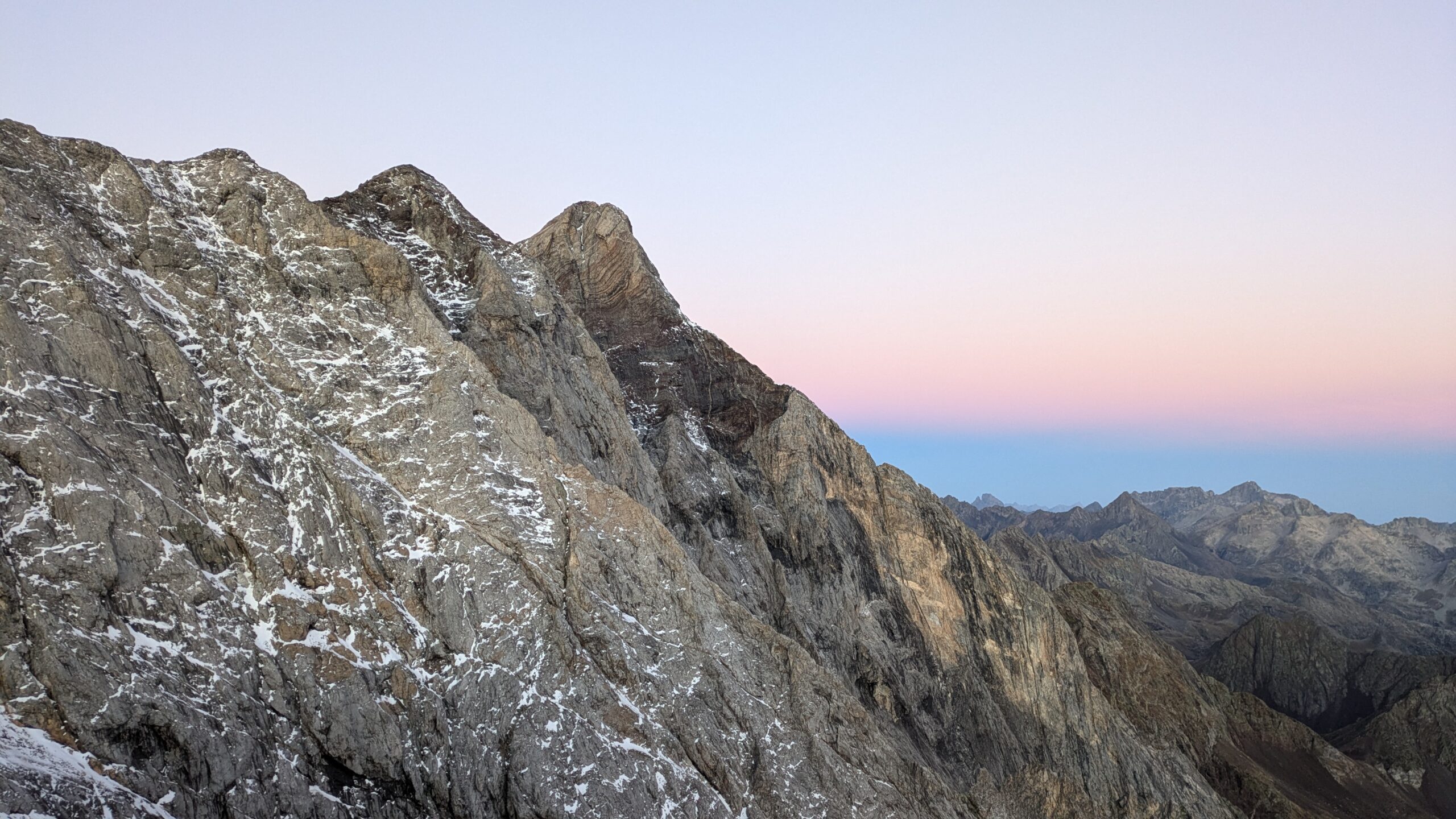
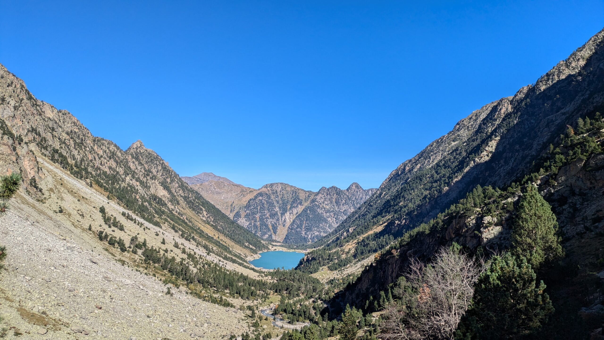
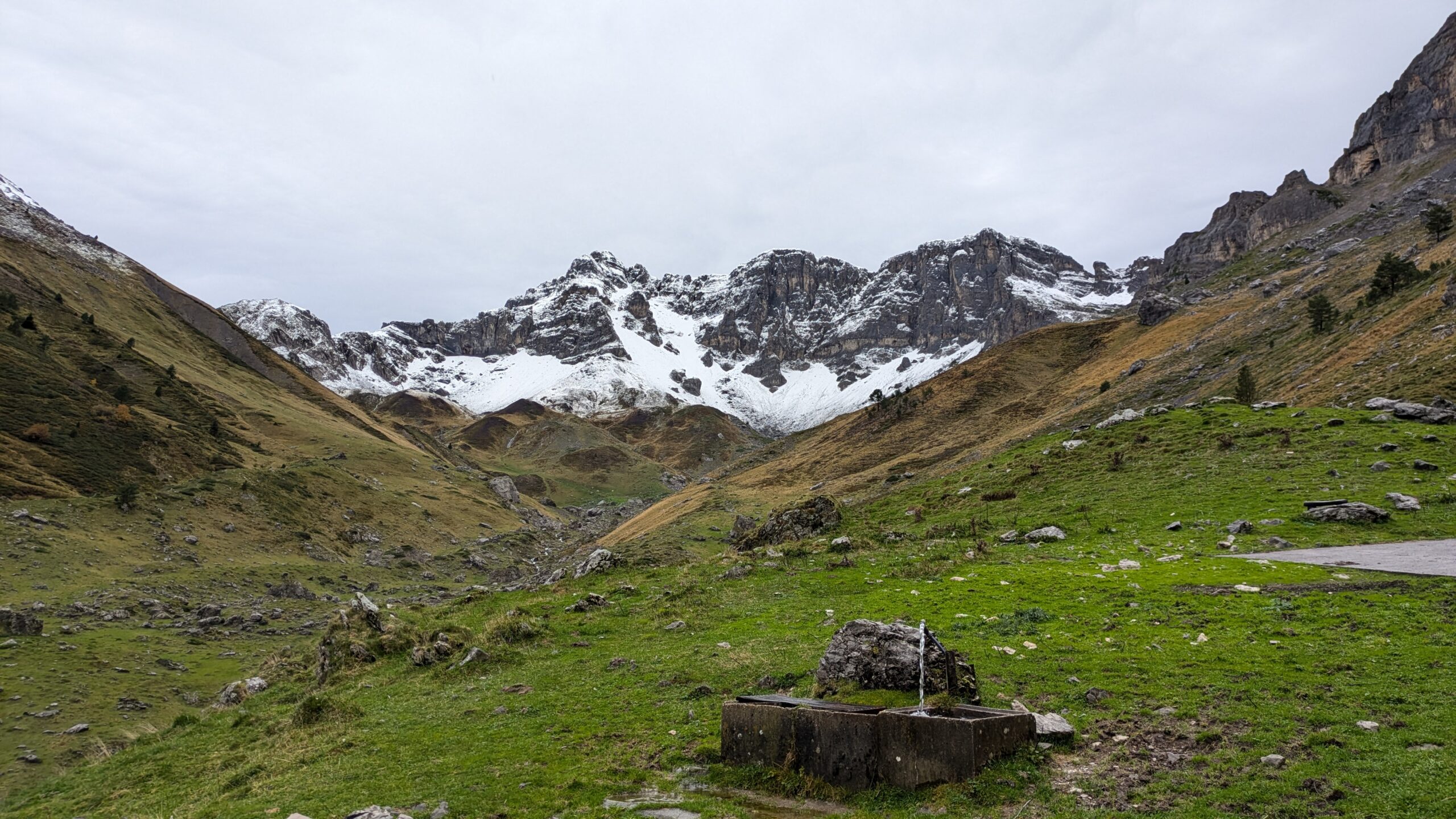
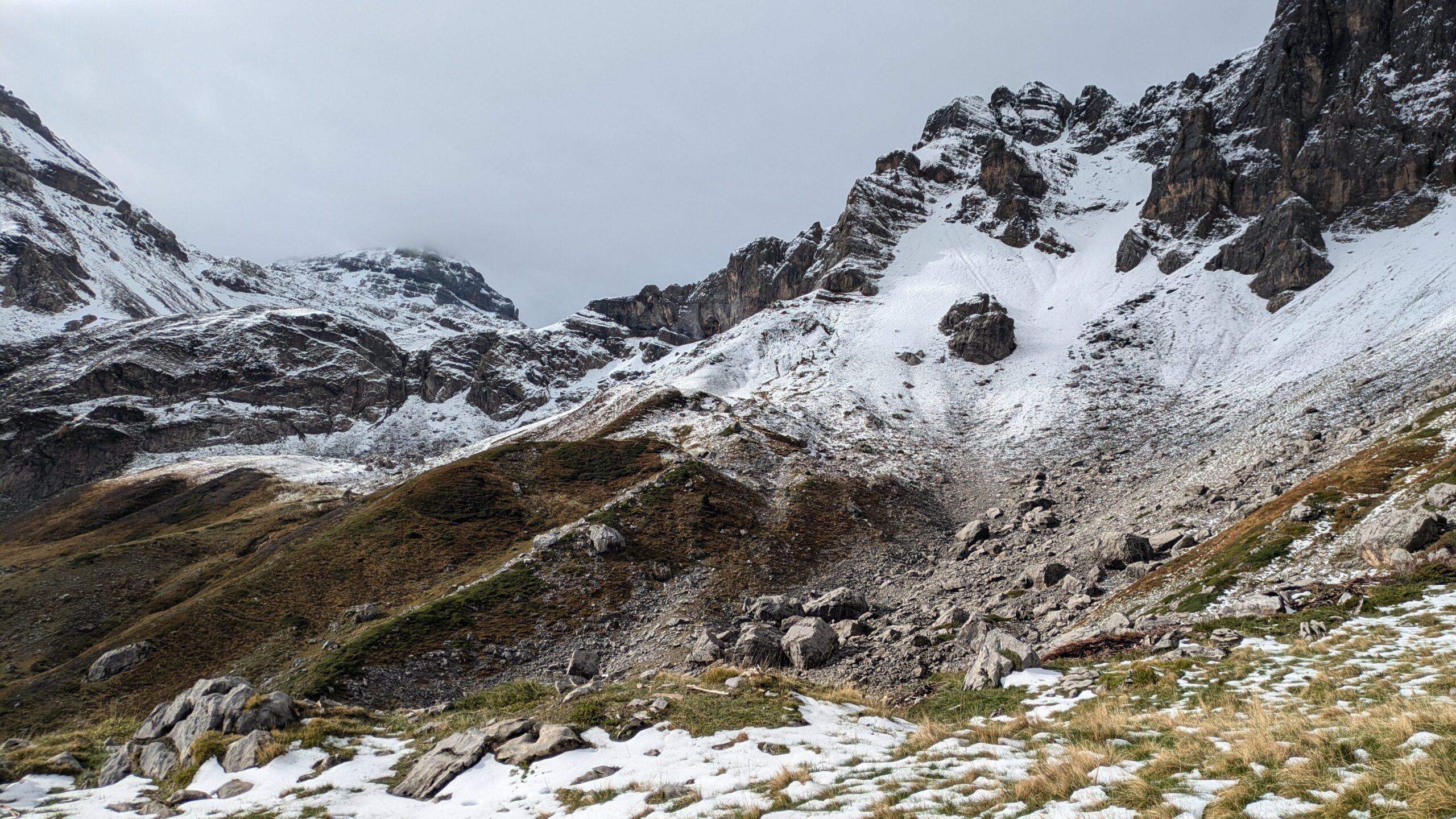
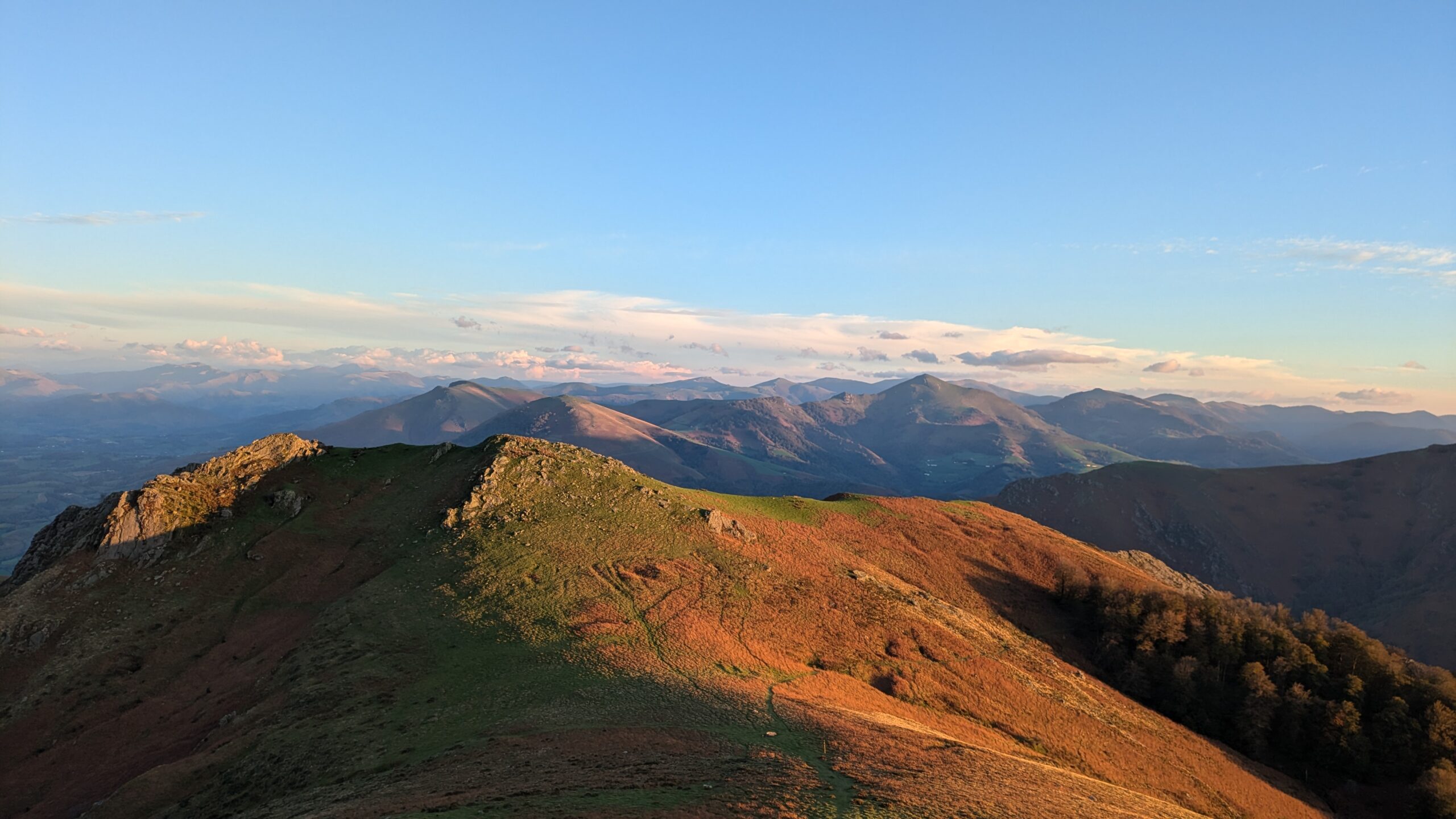
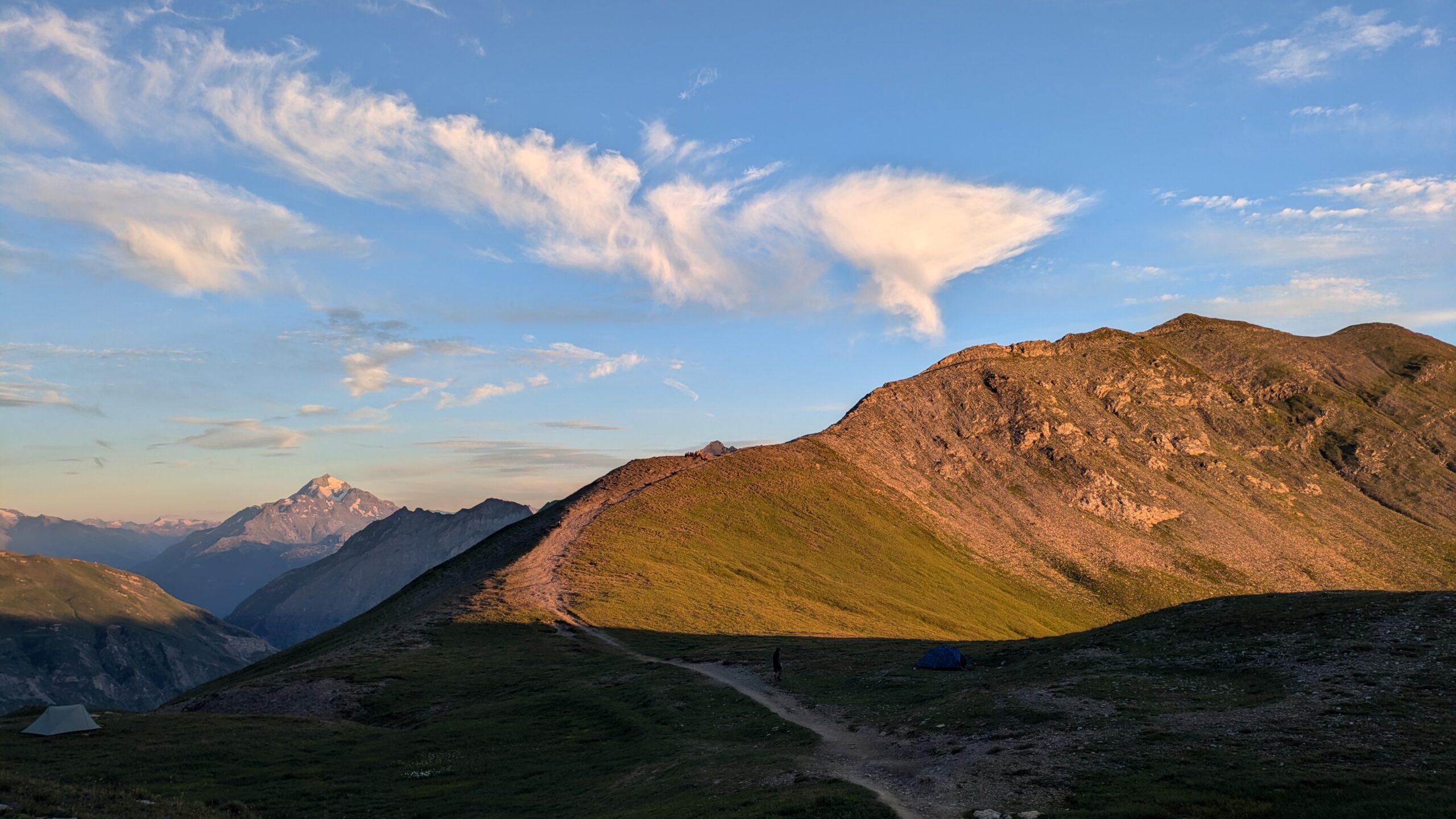
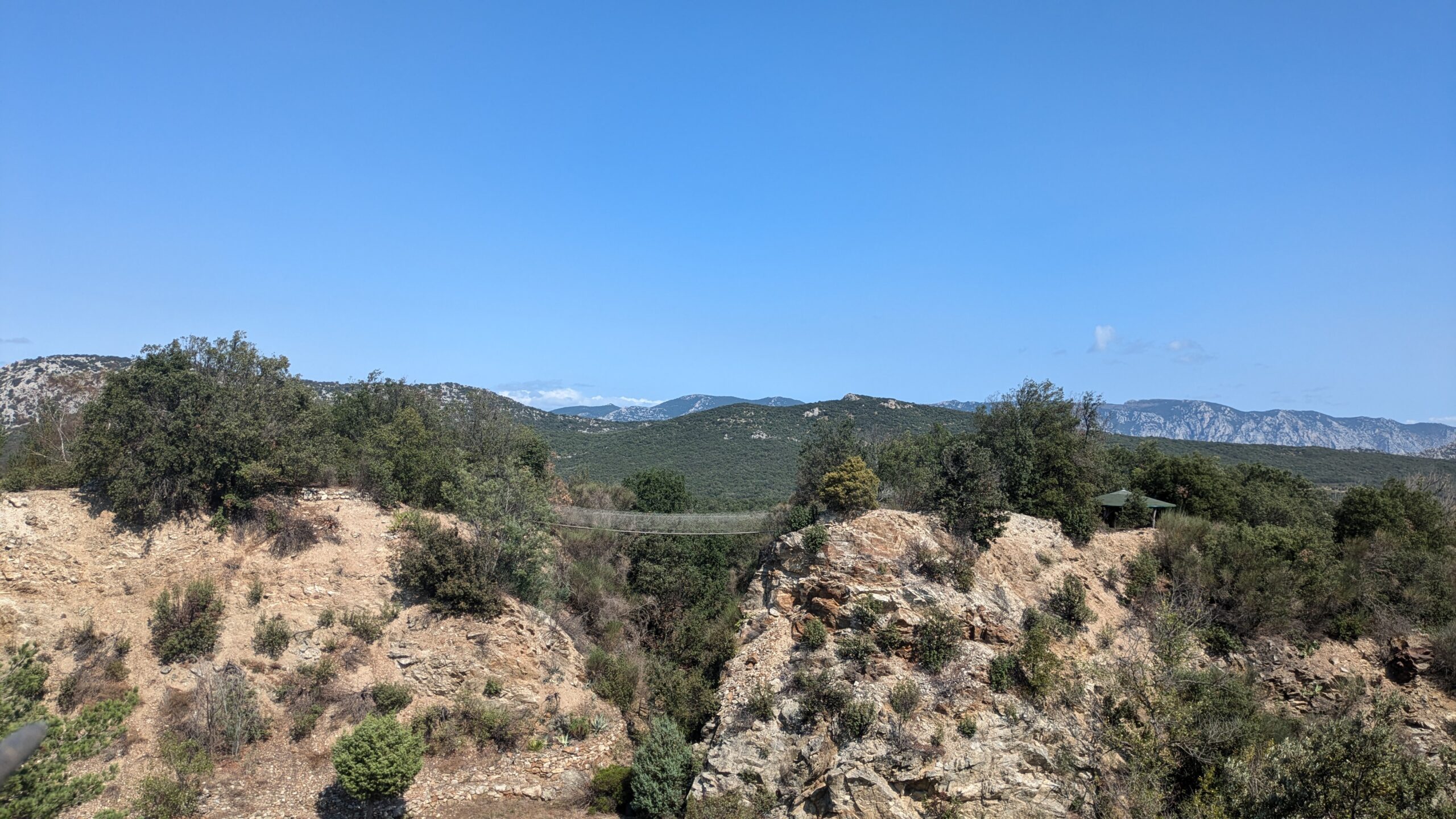
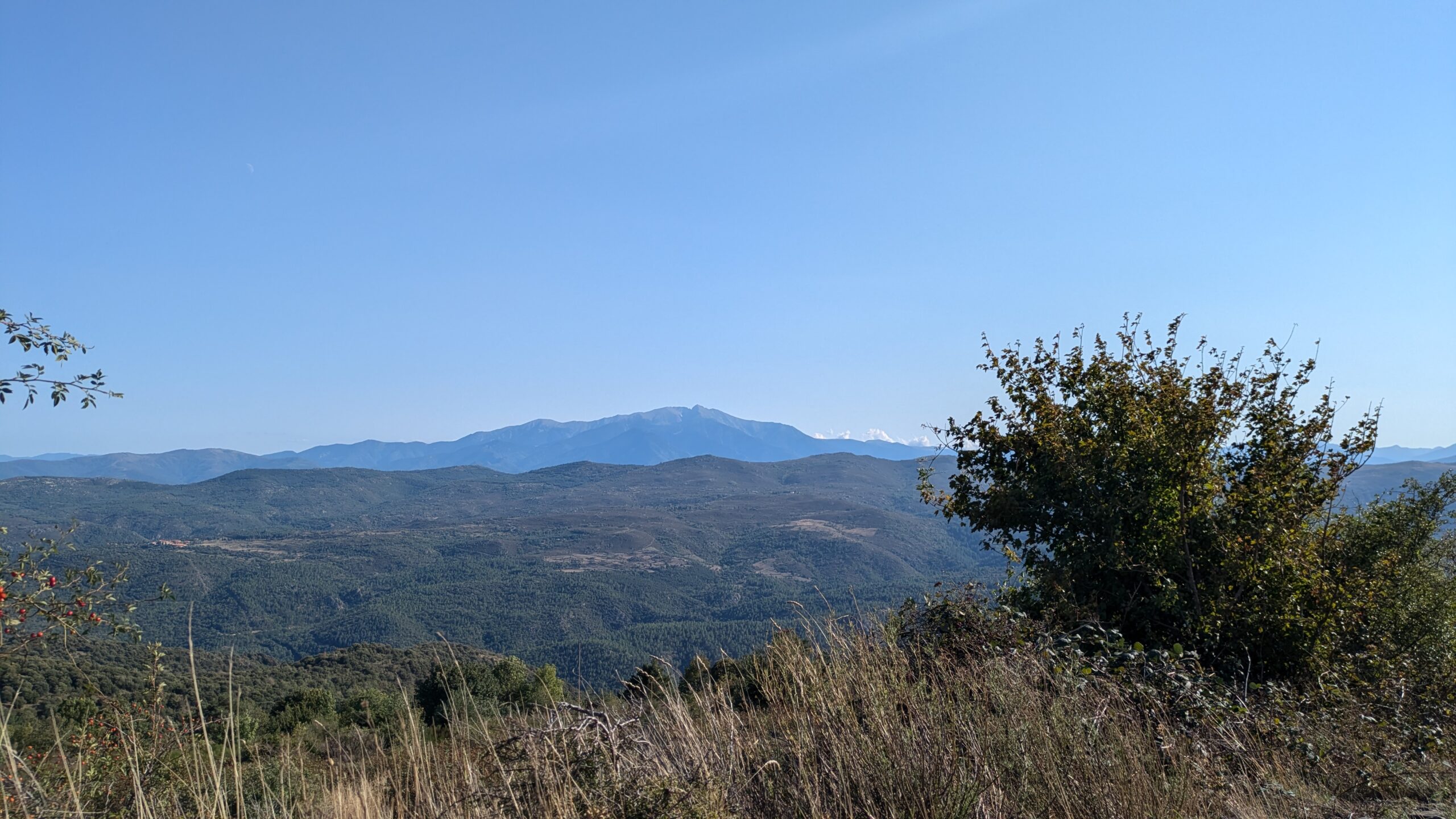
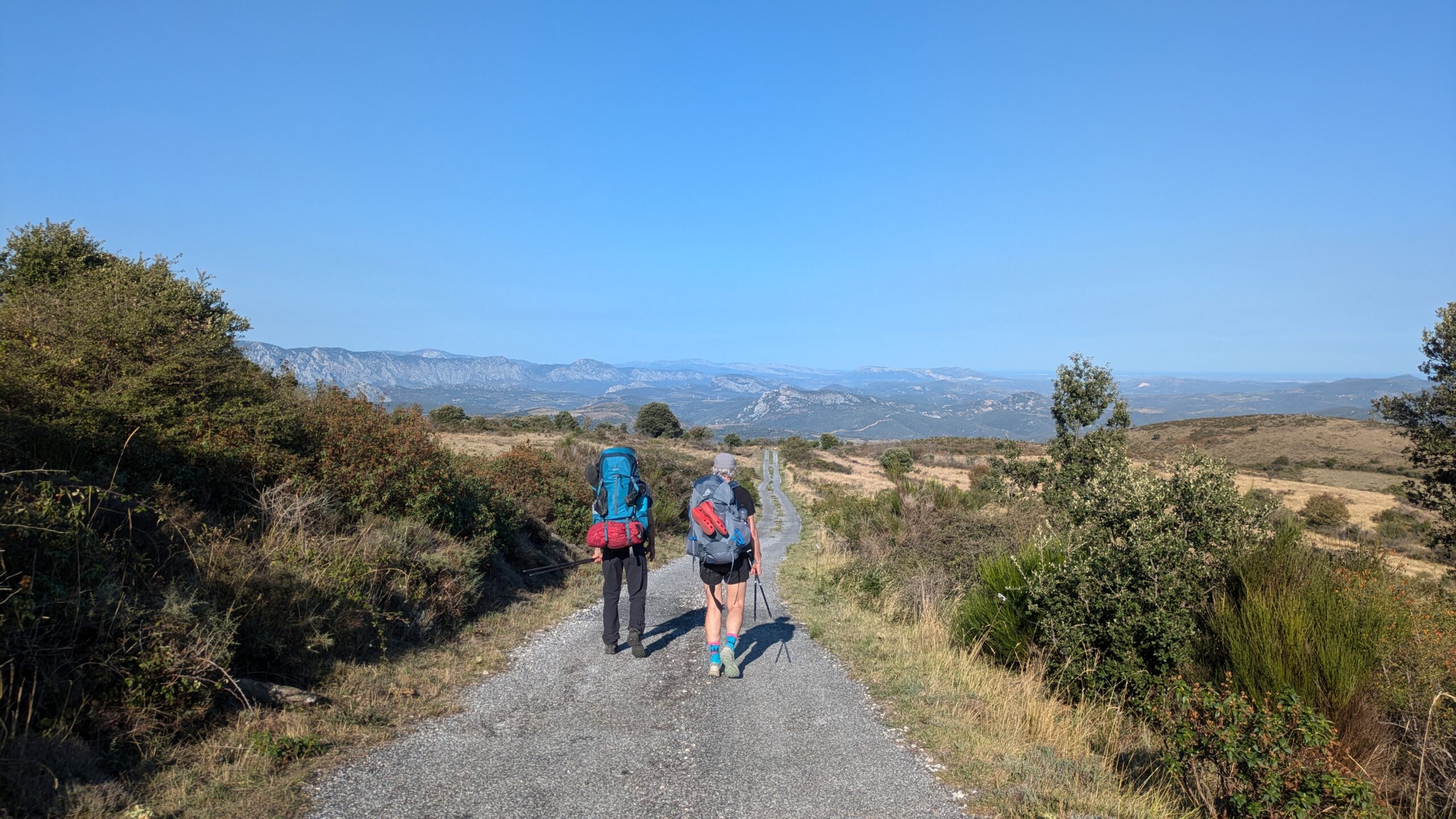
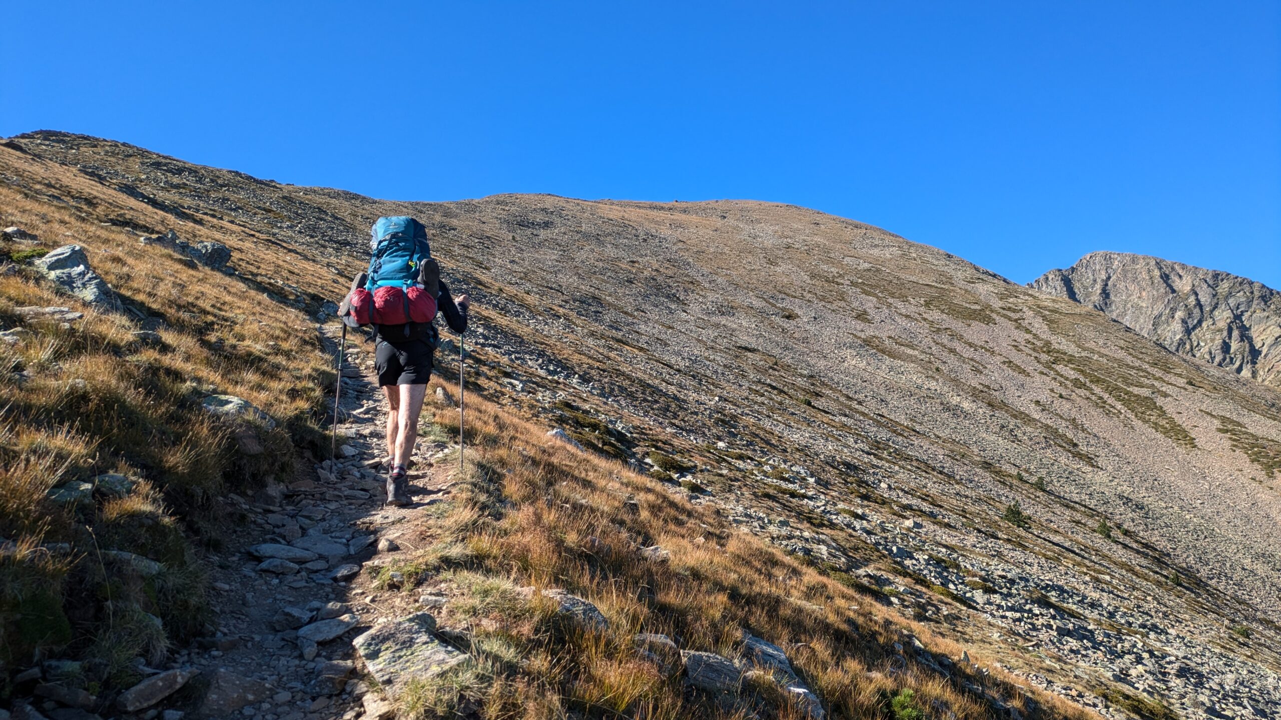
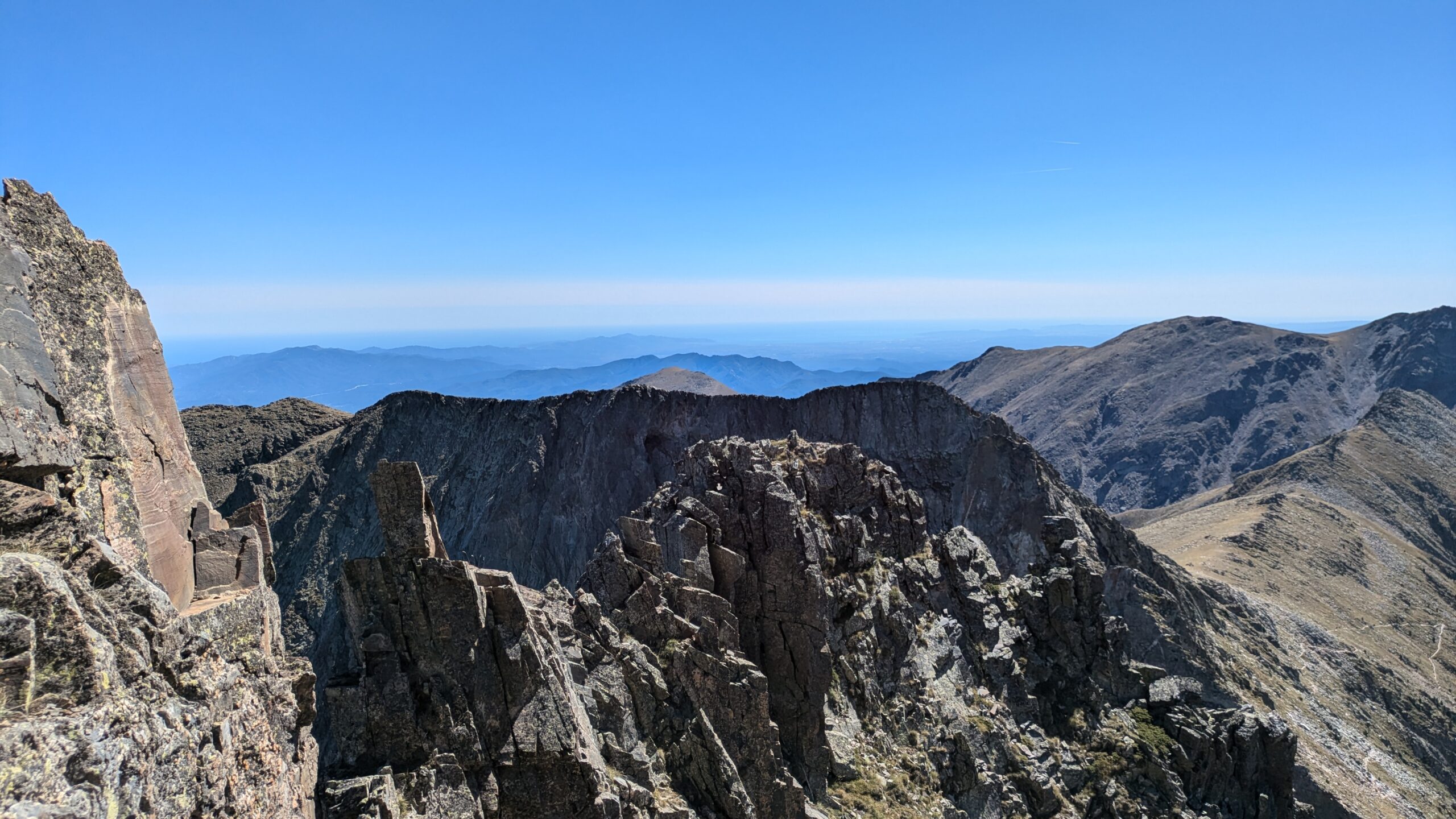
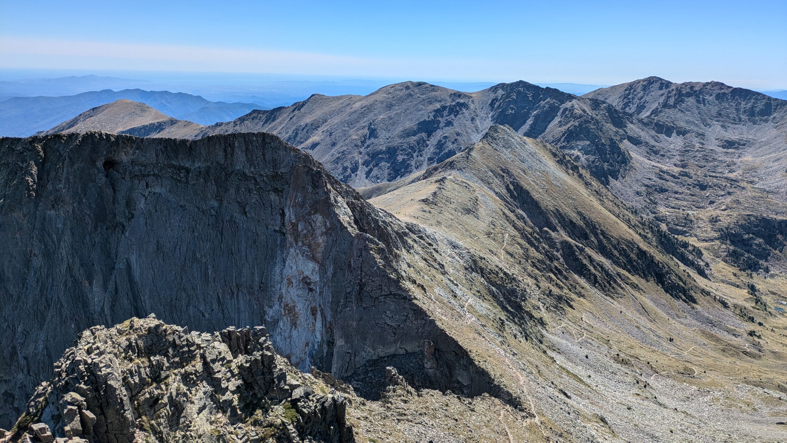
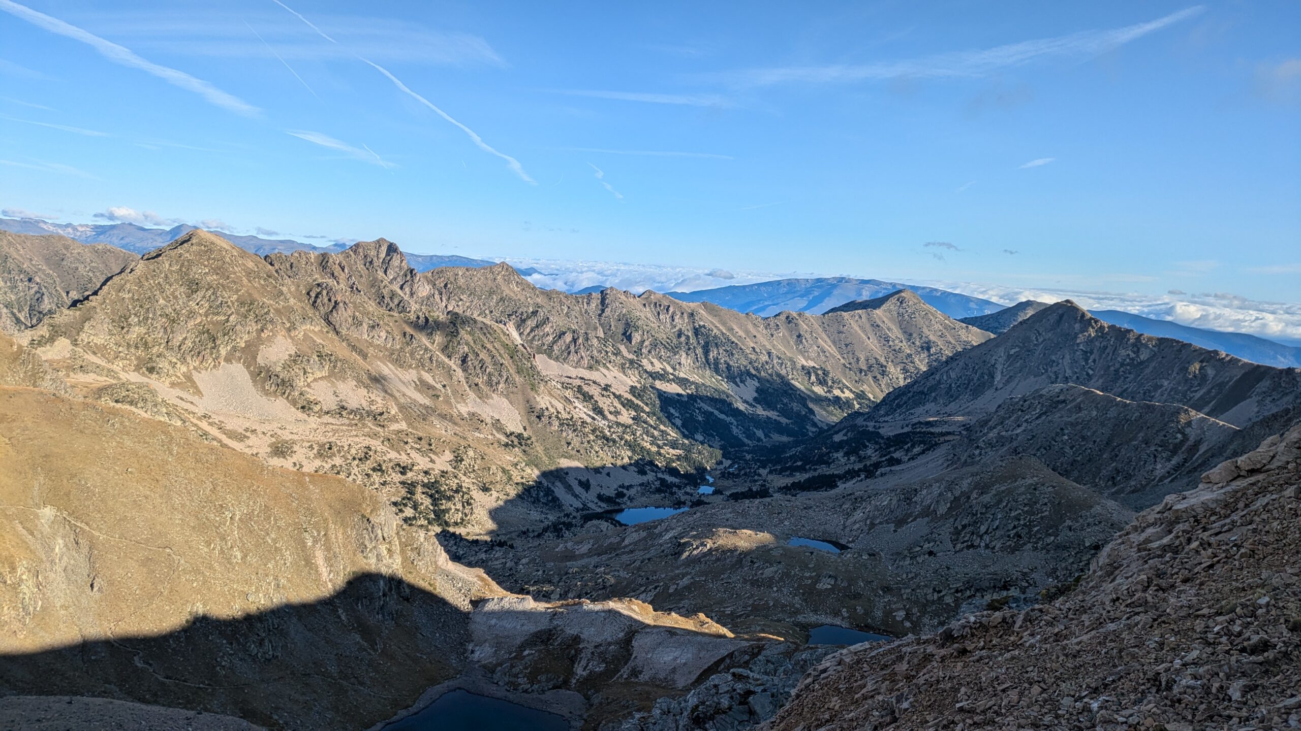
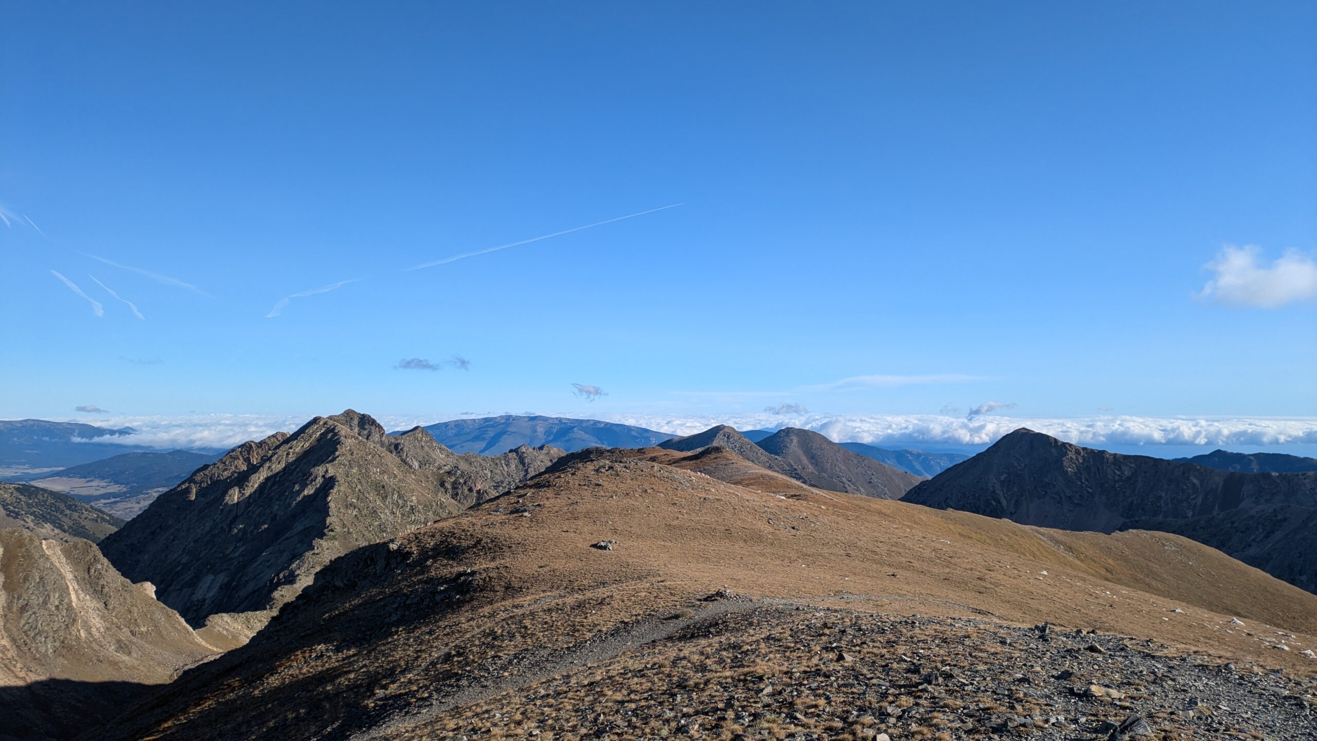
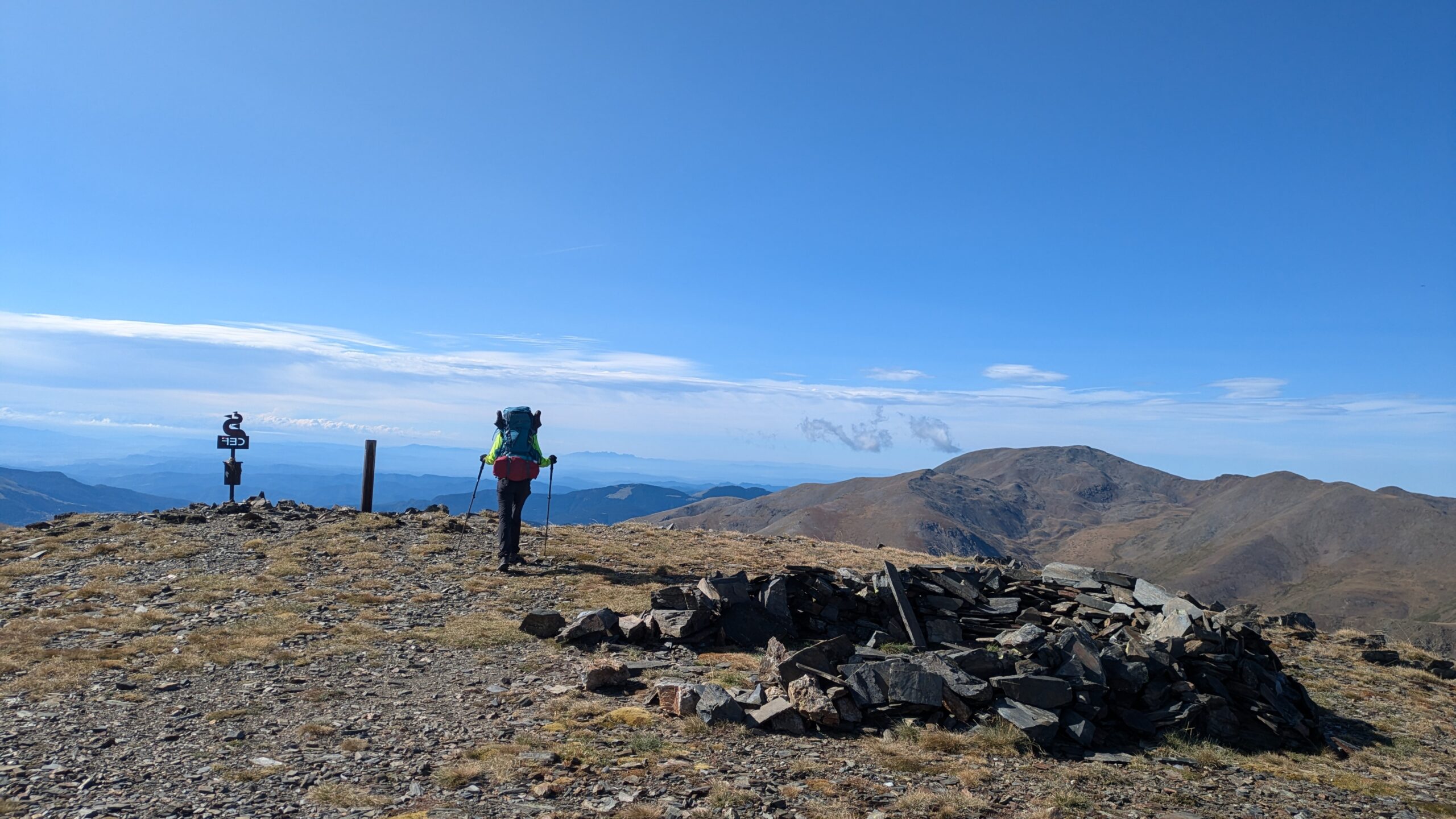
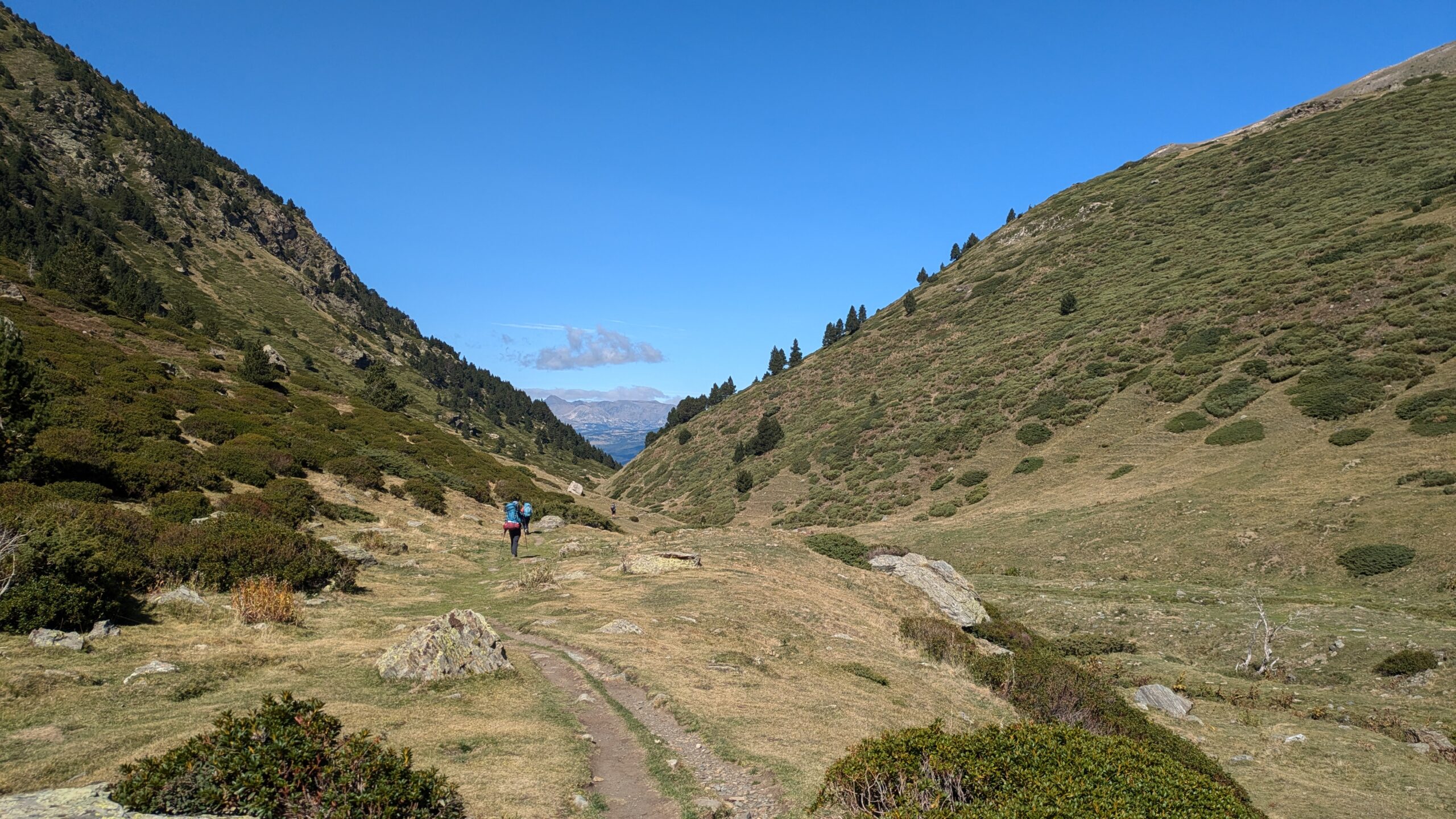
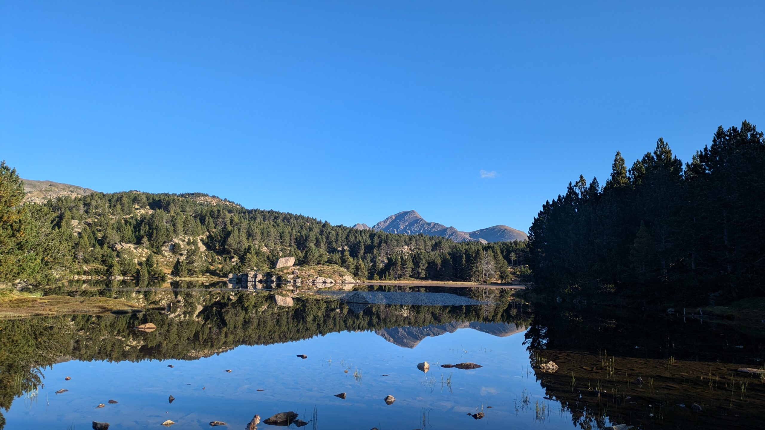
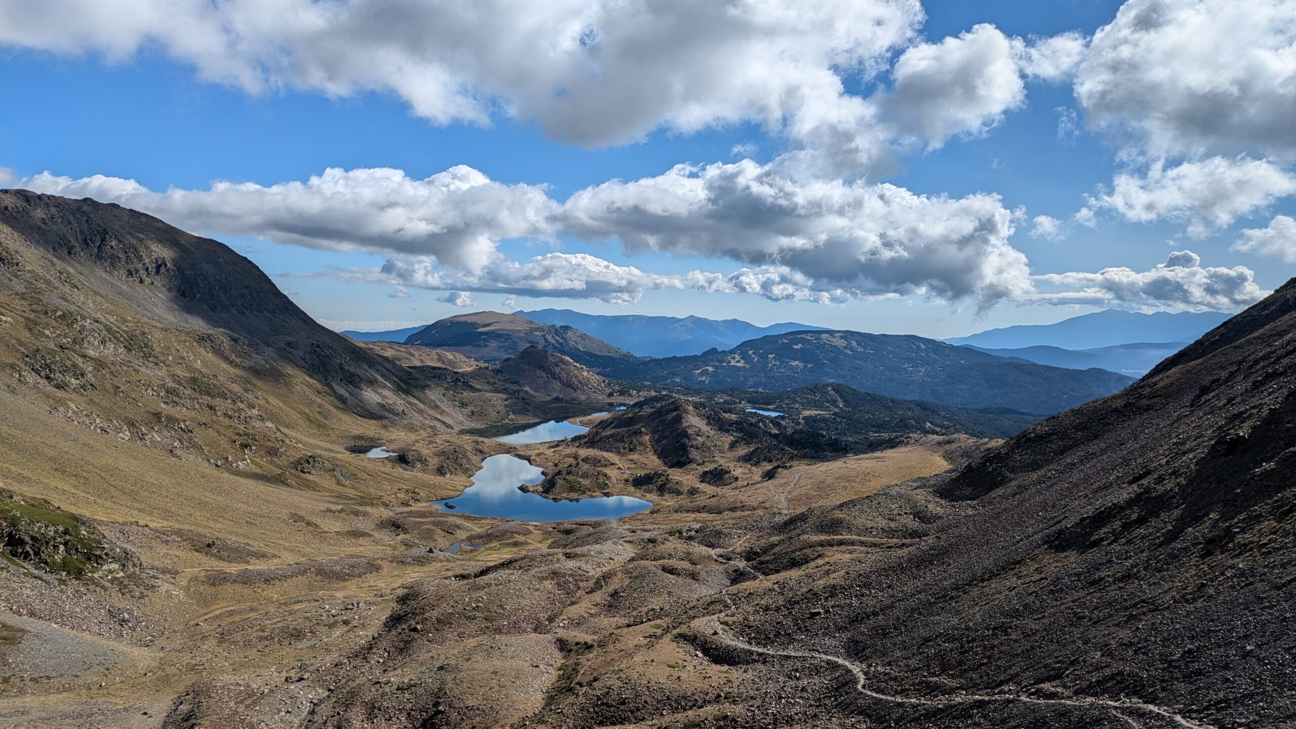
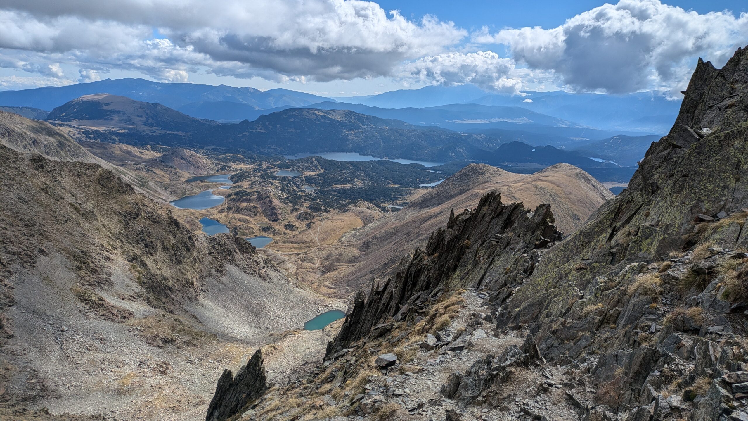
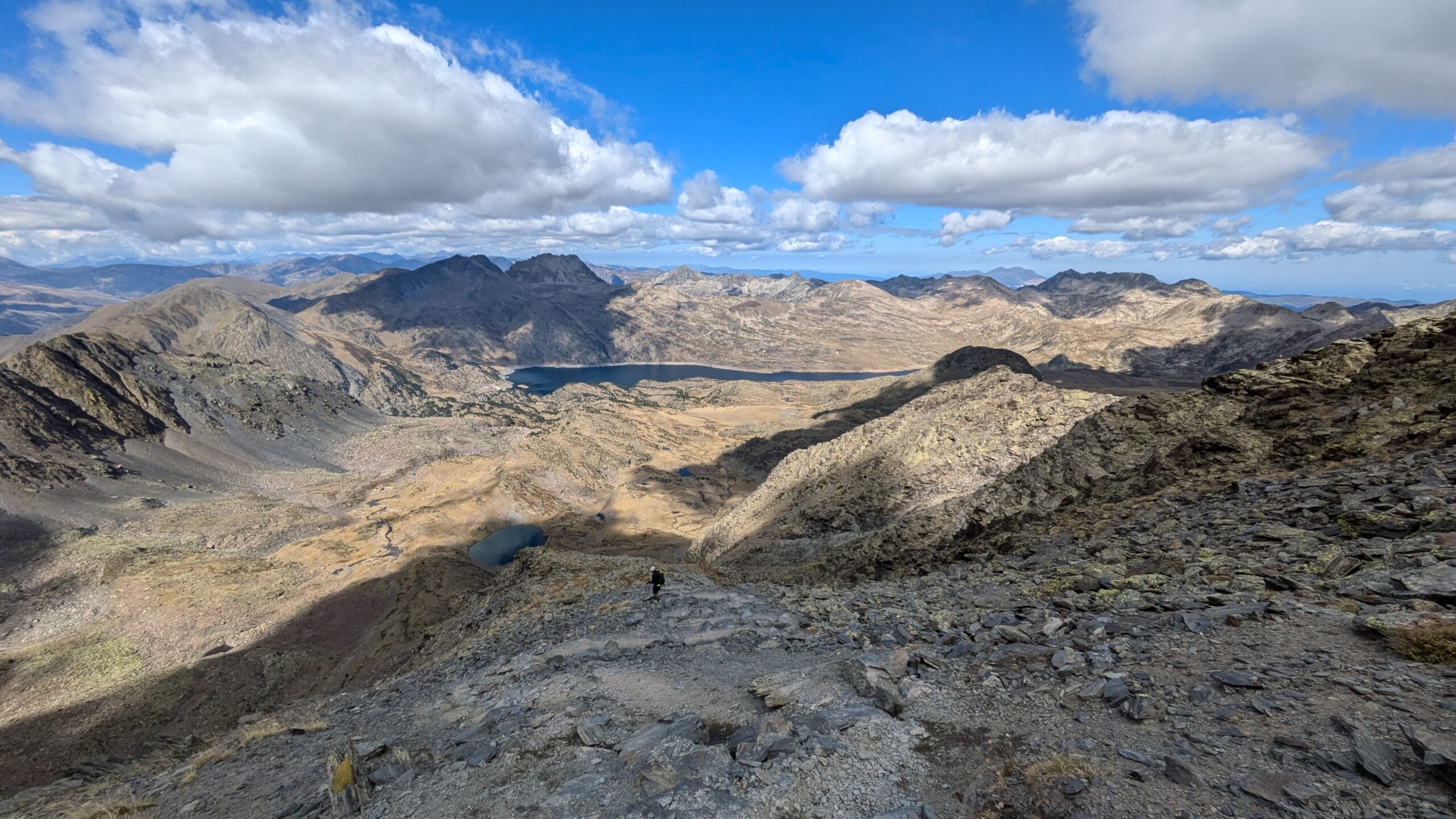
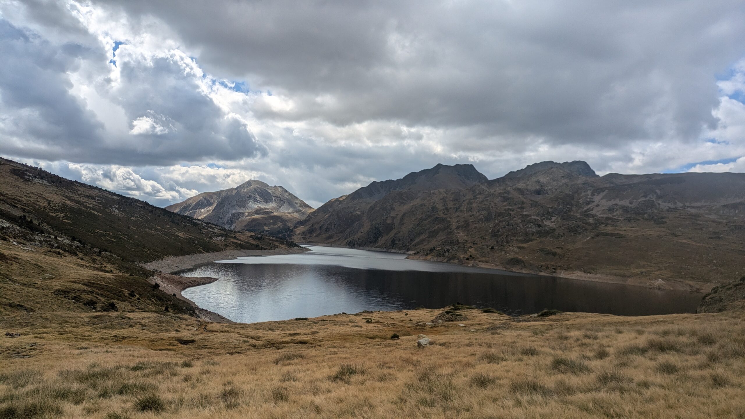
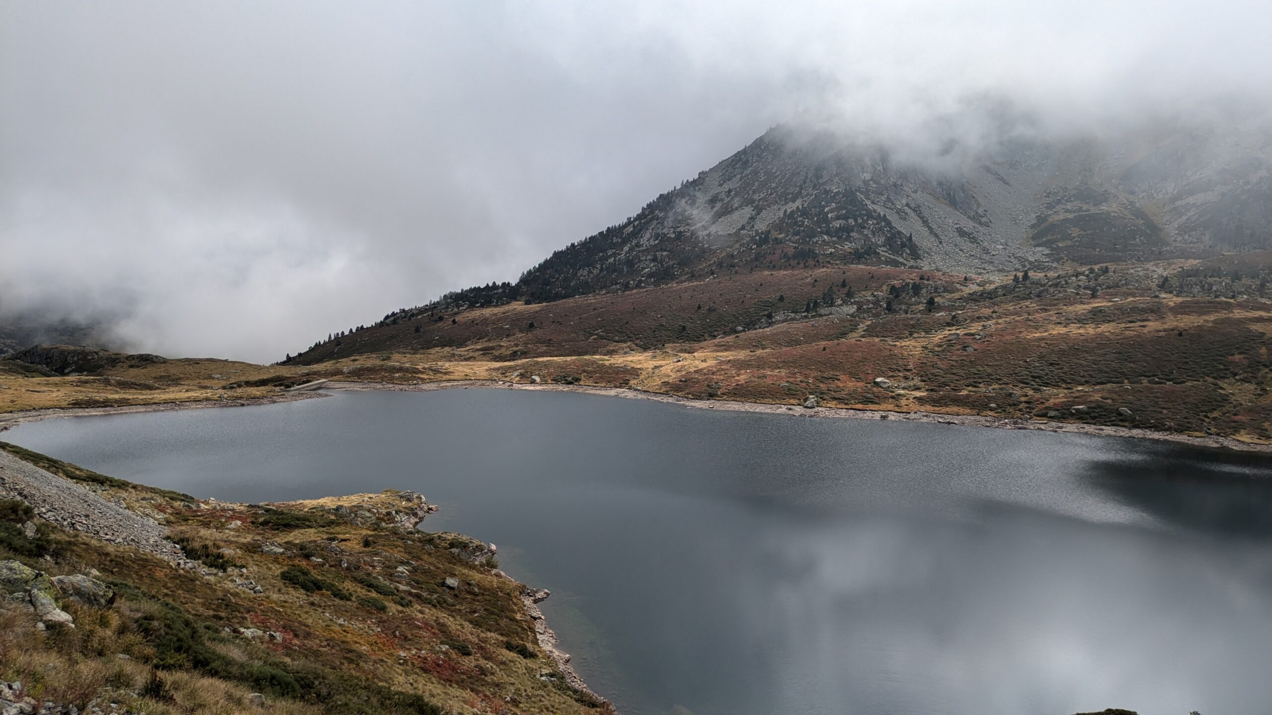
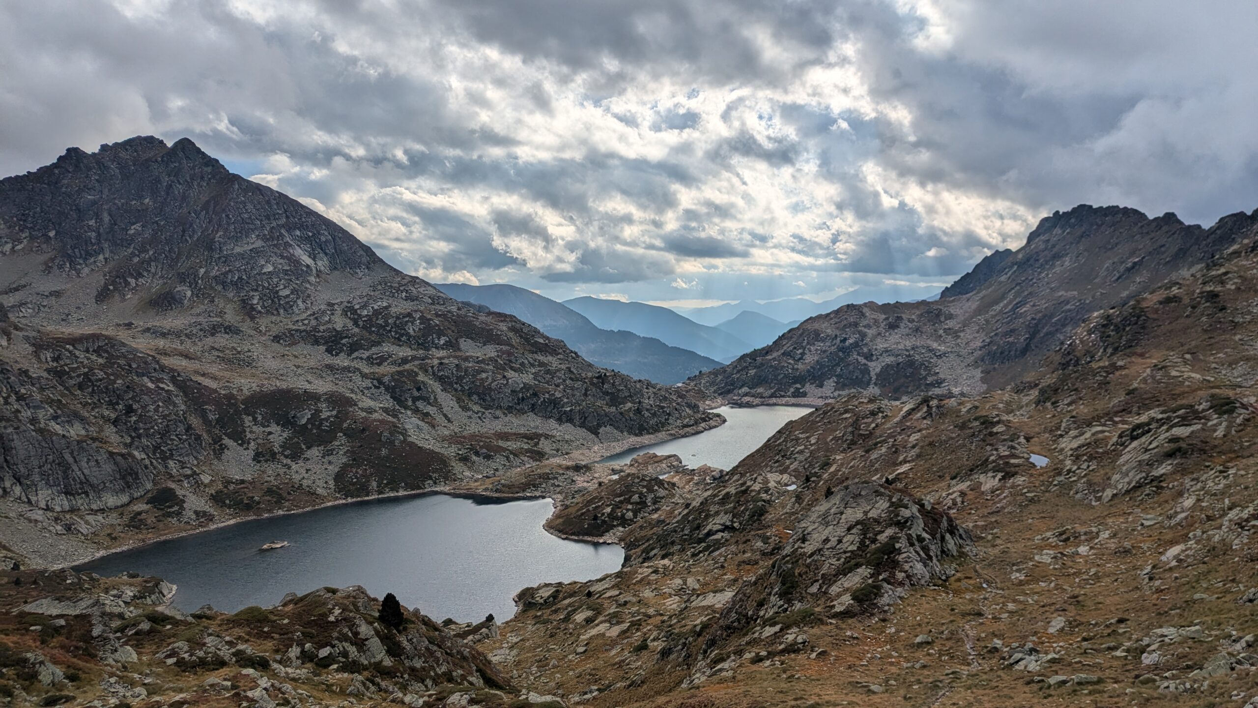
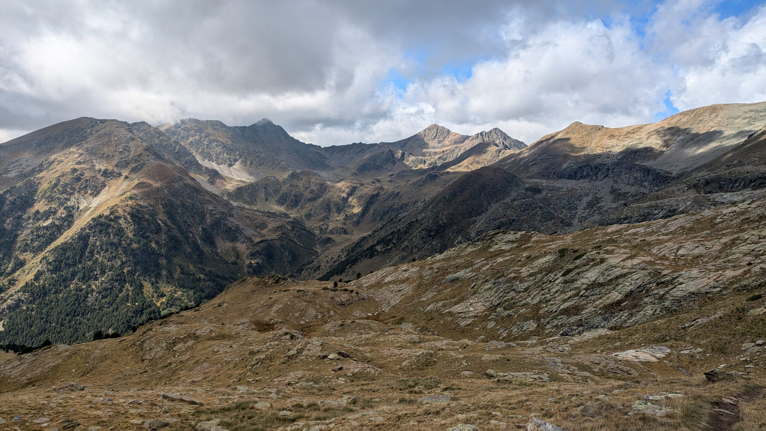
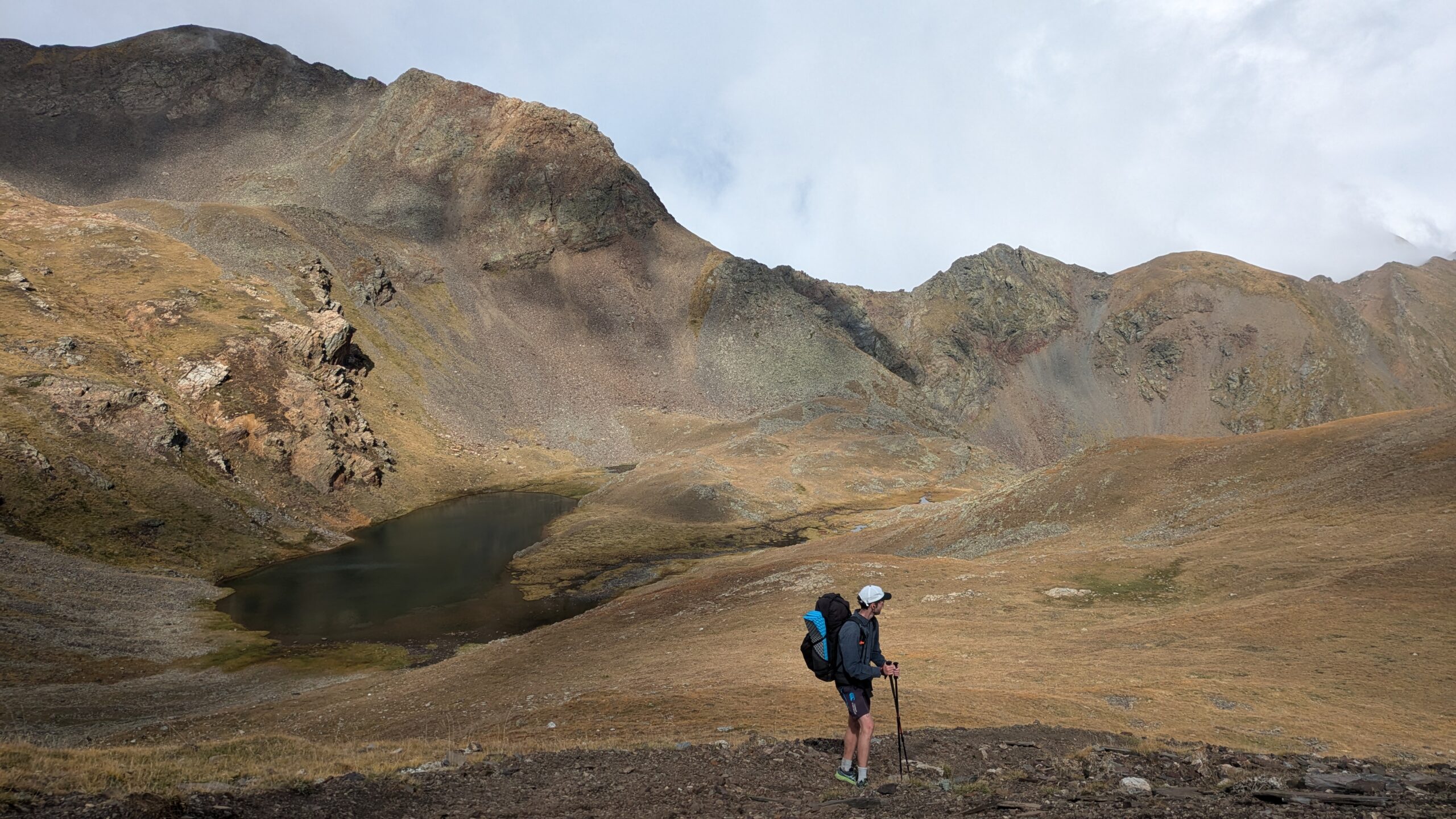
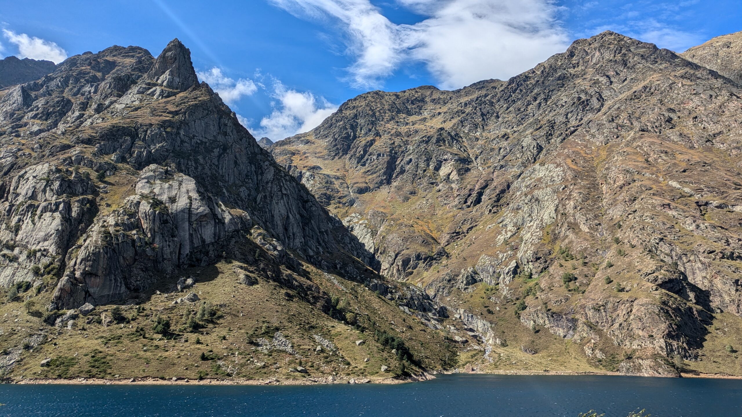
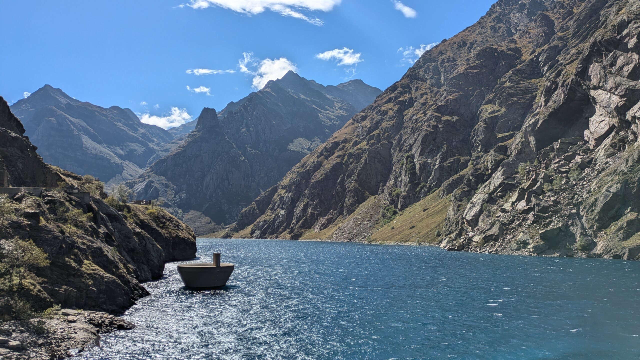
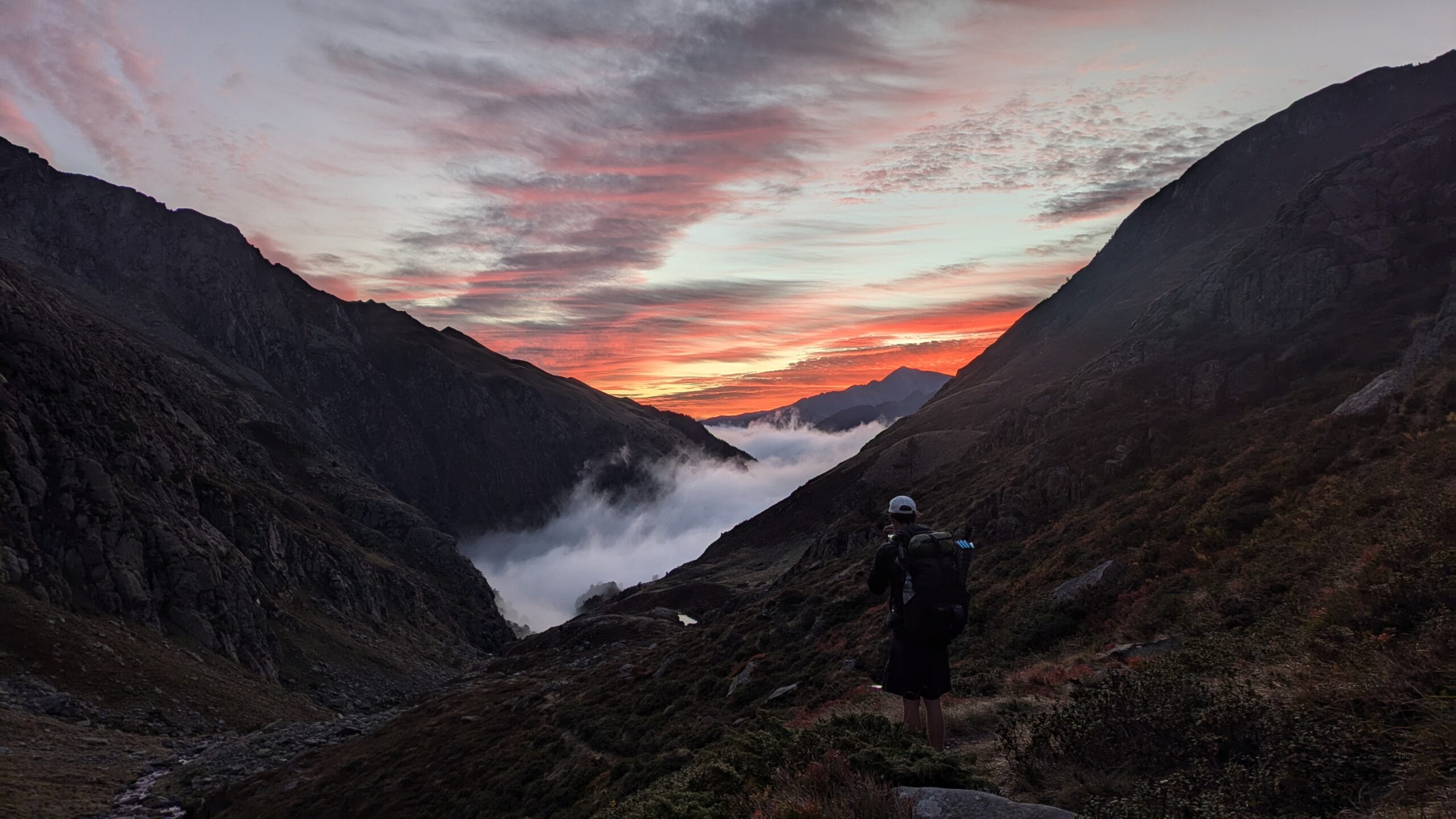
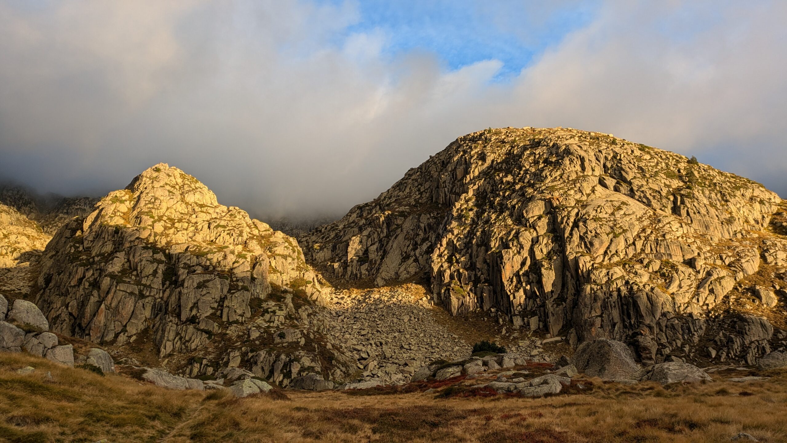
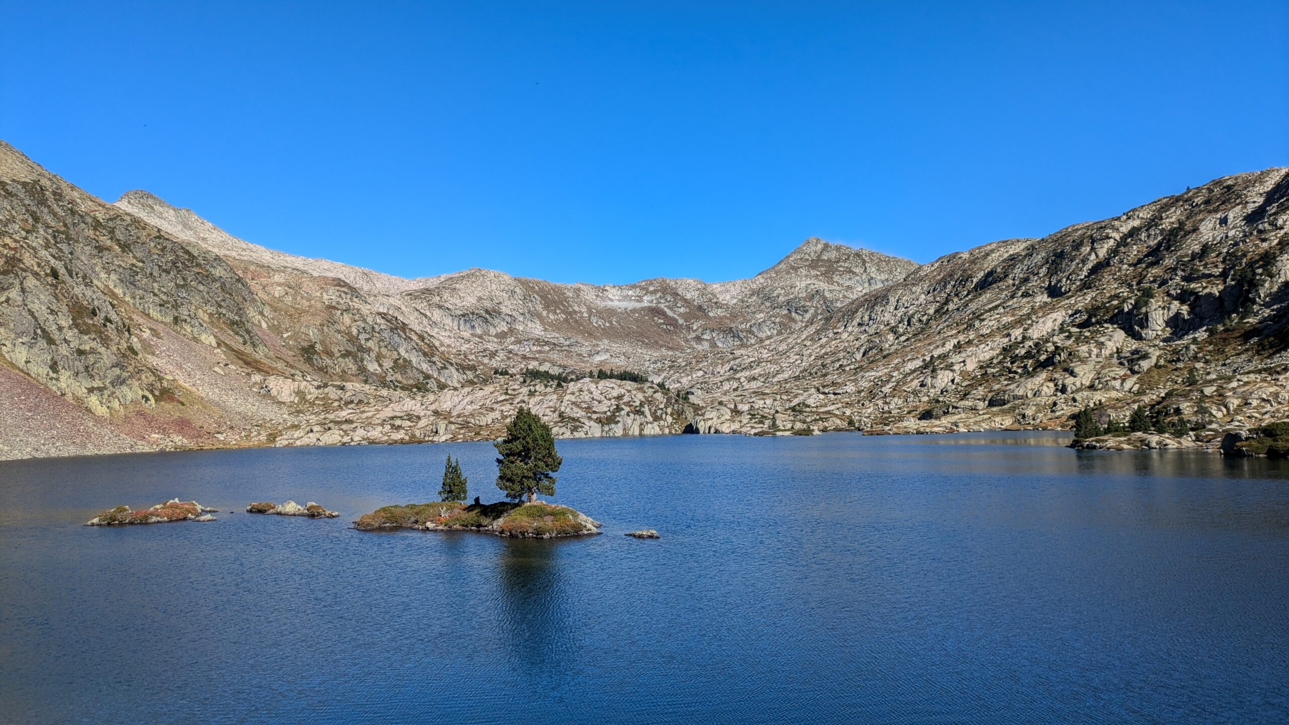
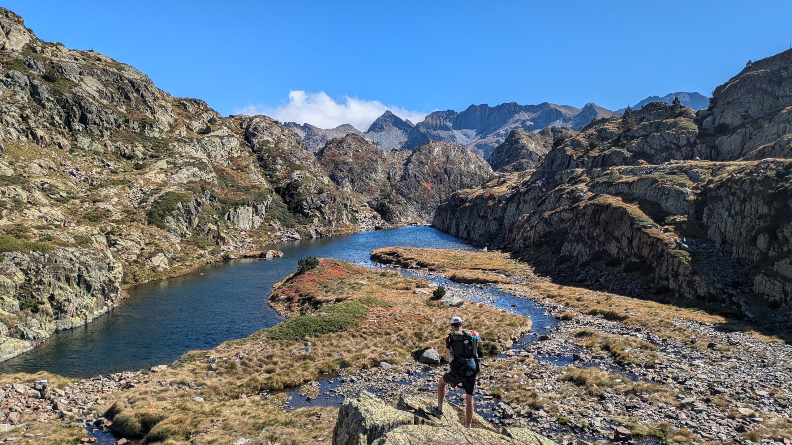
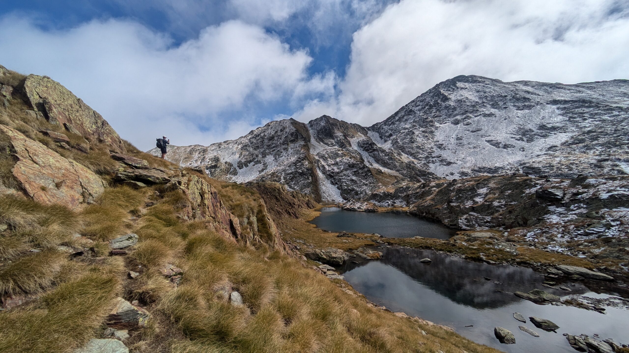
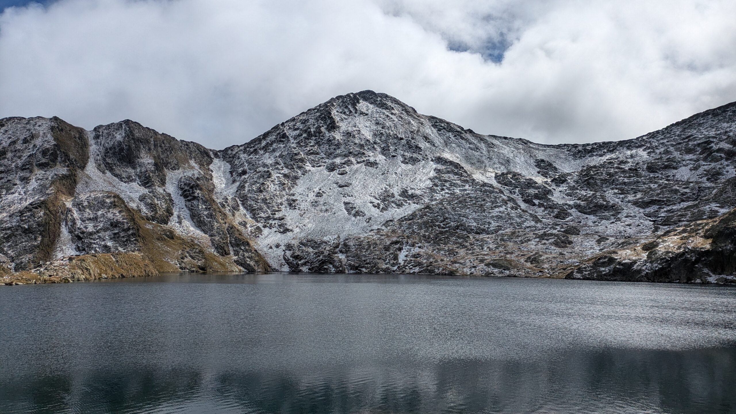
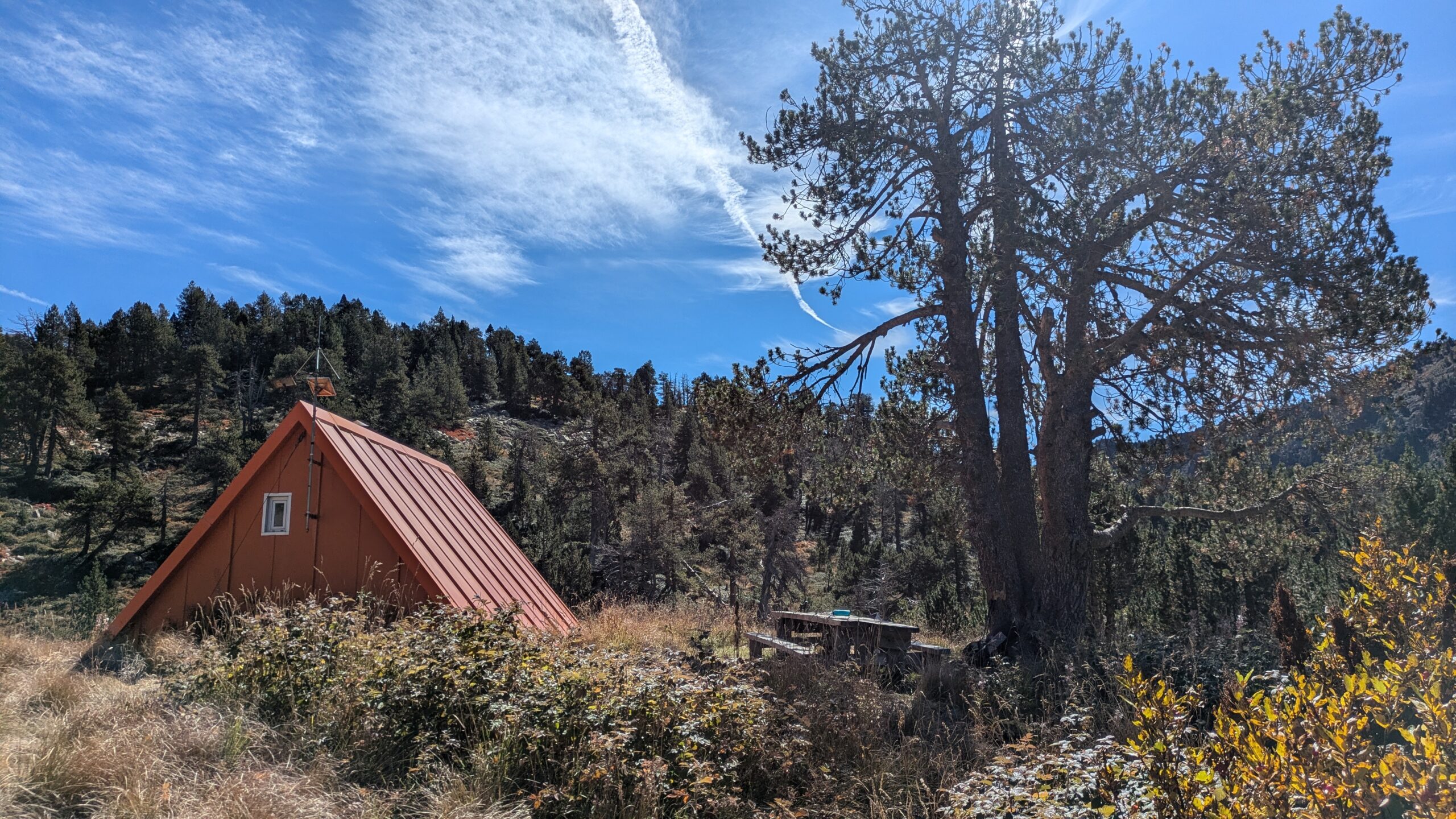
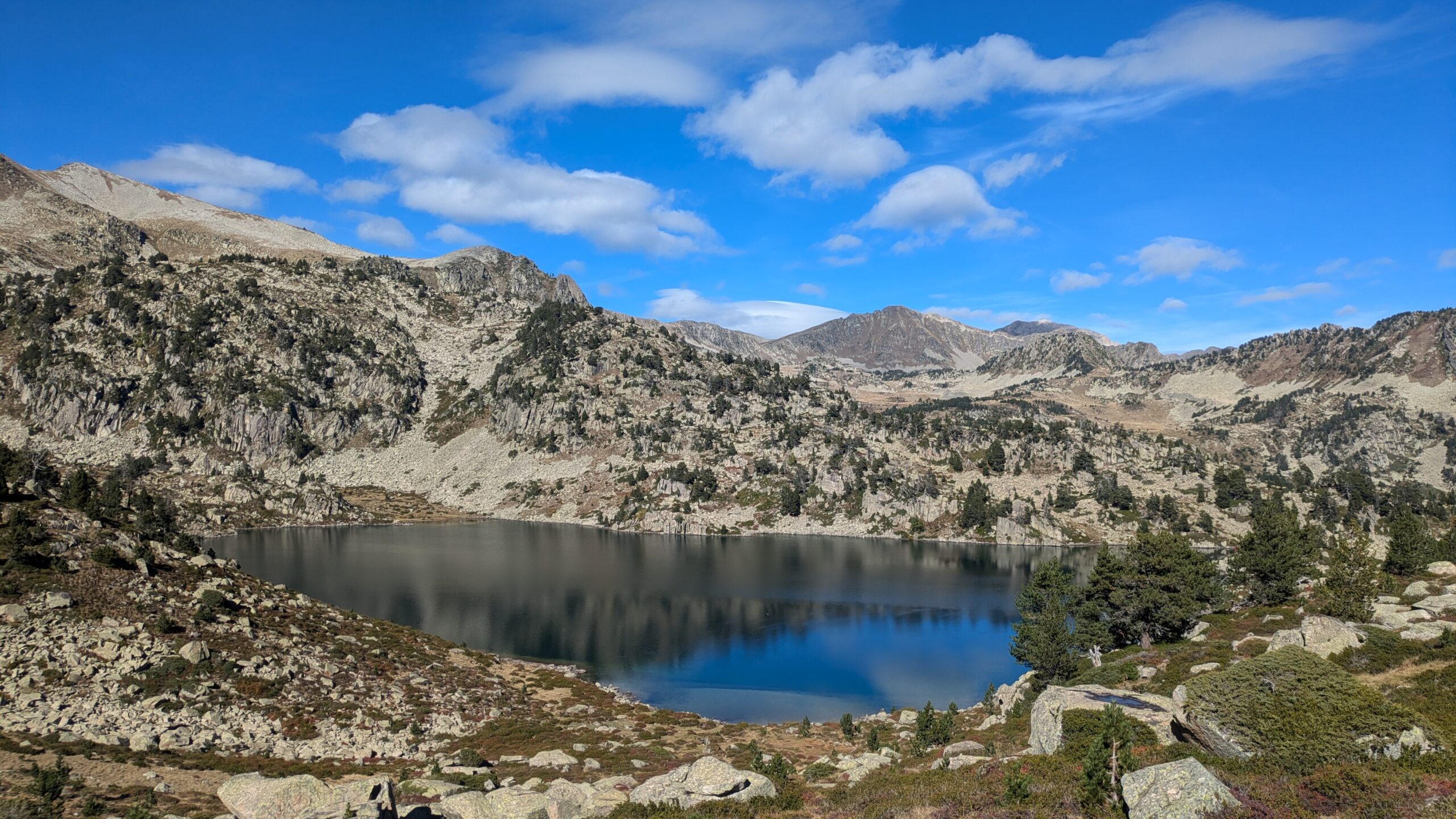
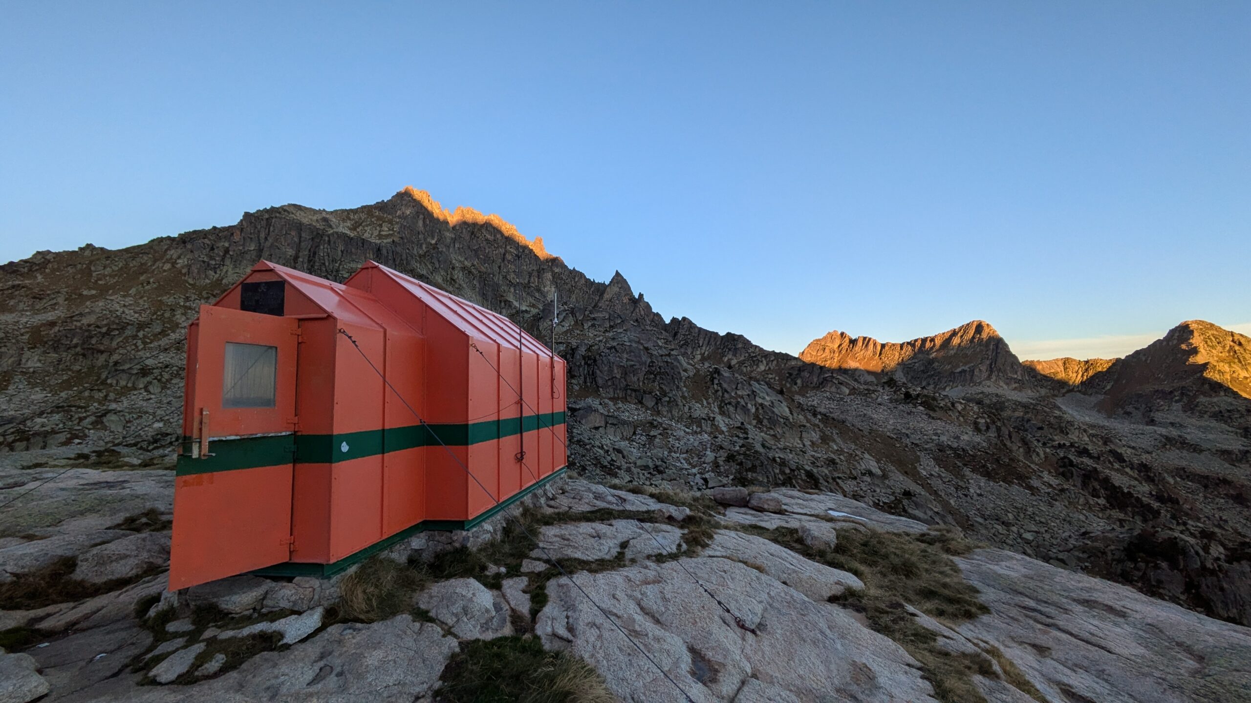
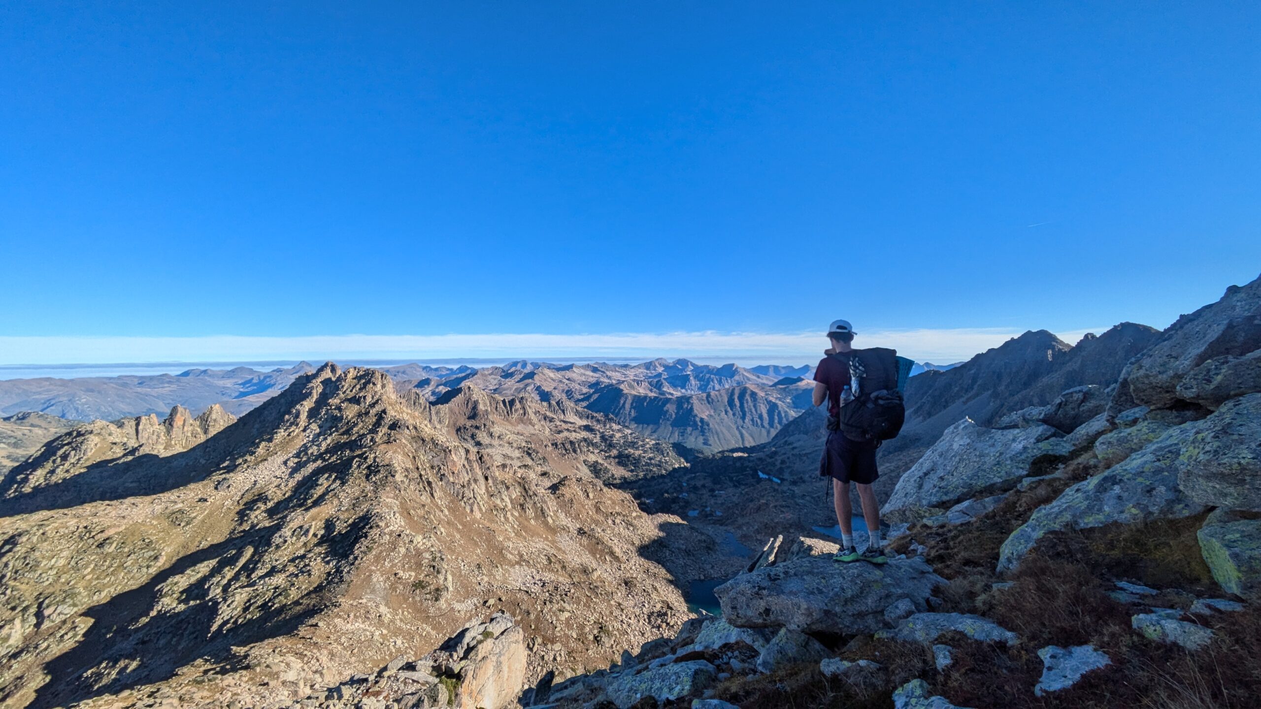
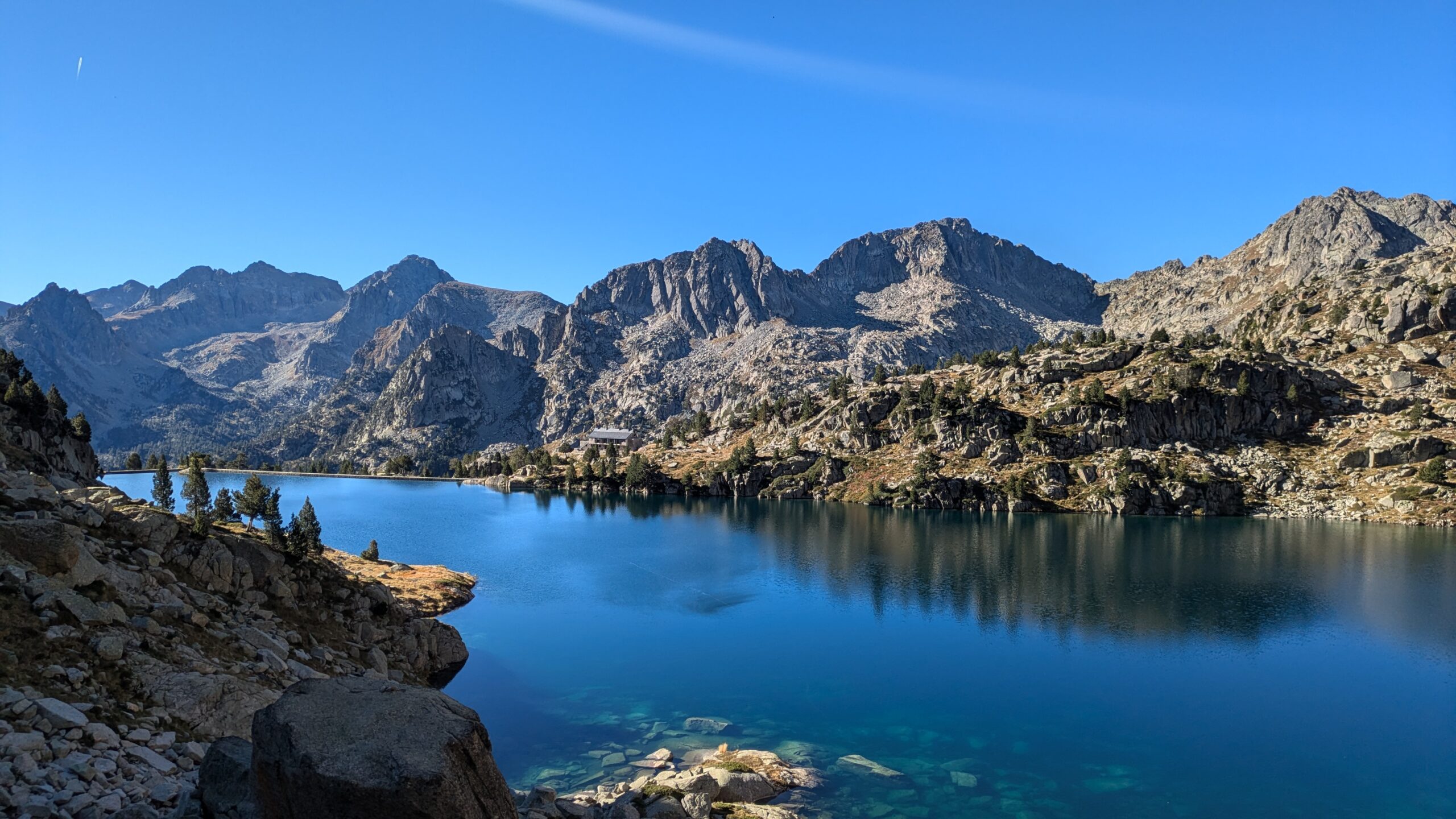
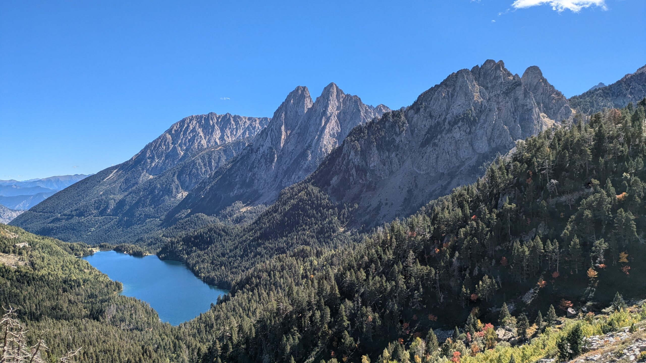
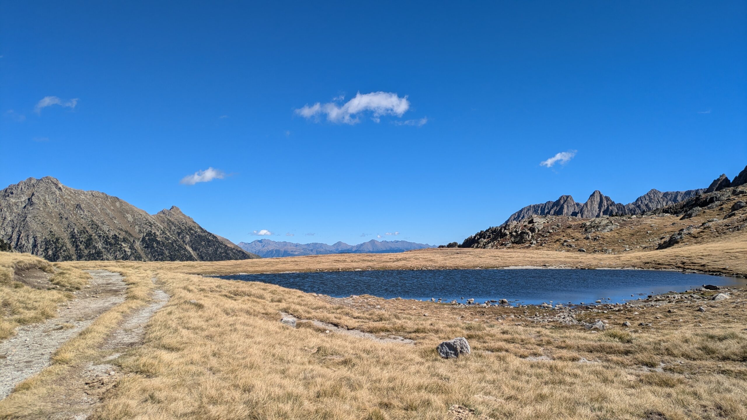
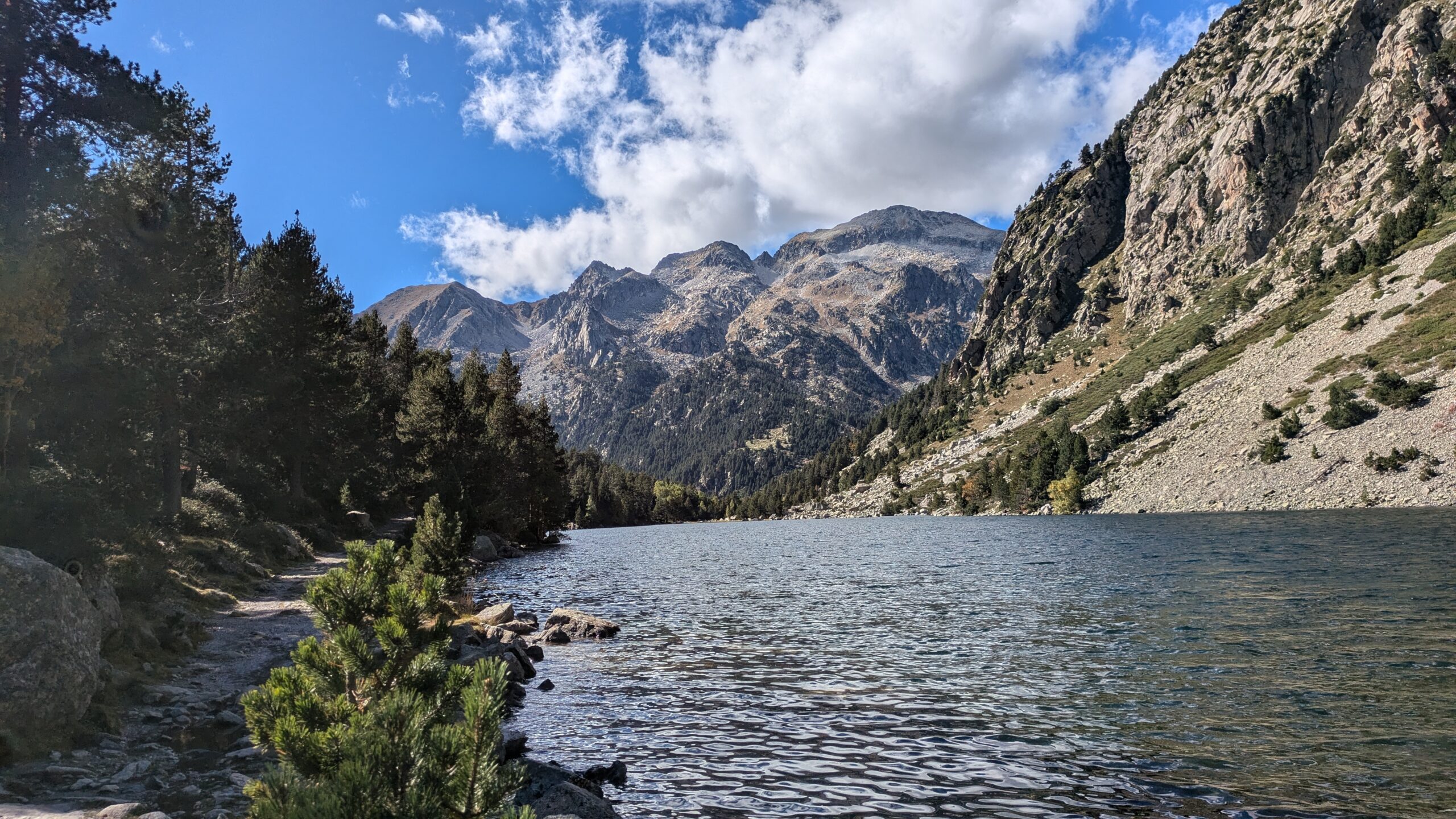
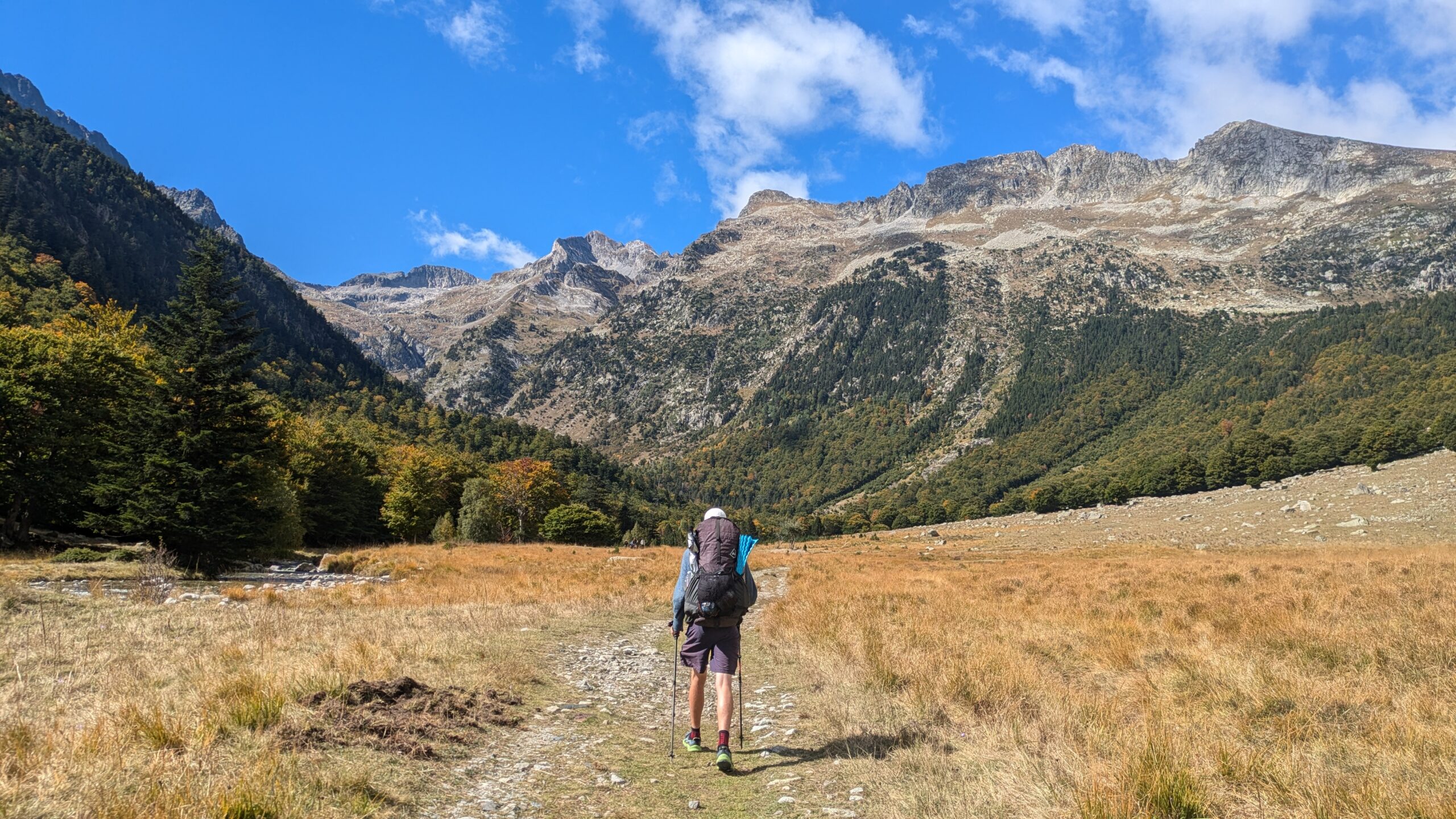
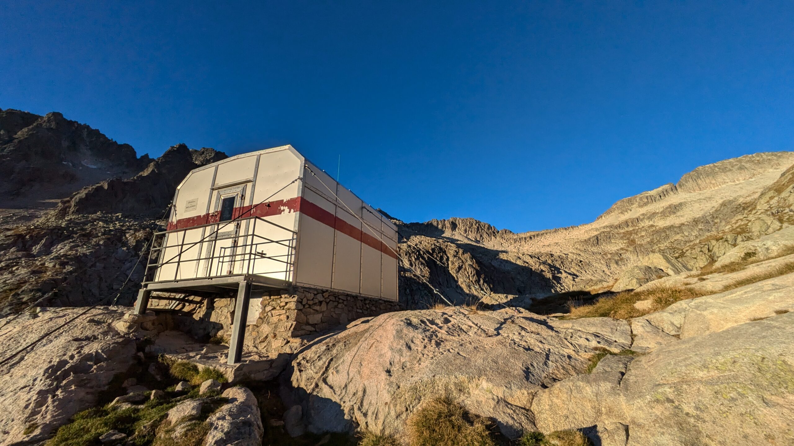
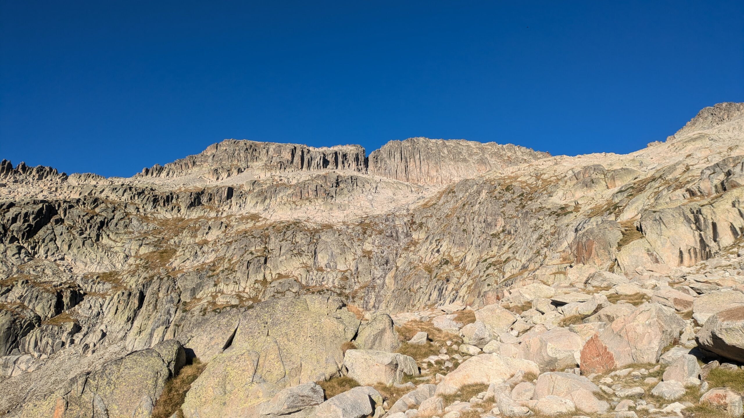
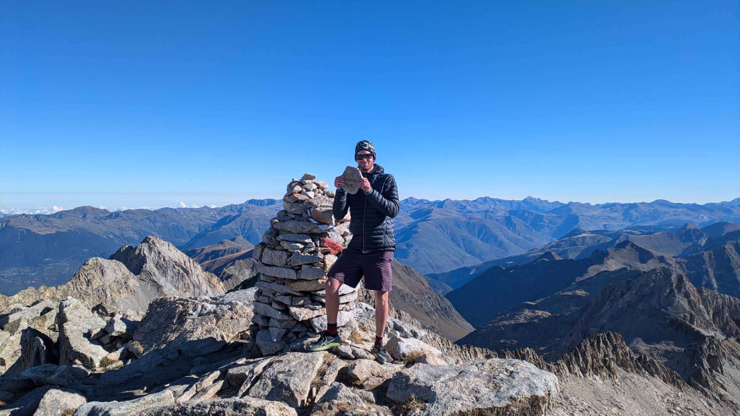
Stage 5: Eastern Pyrenees
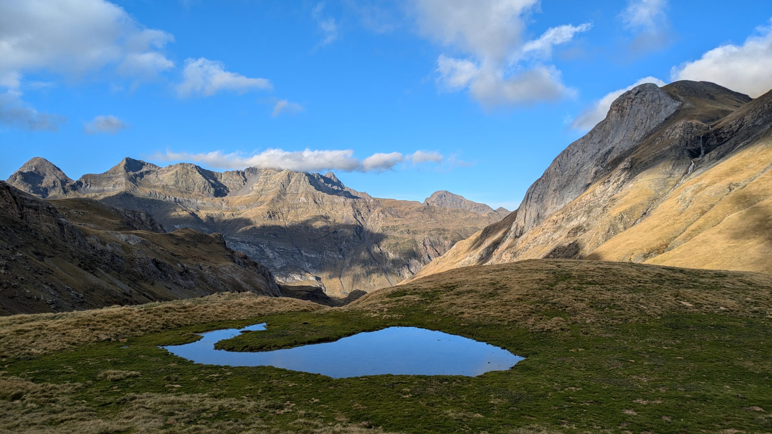
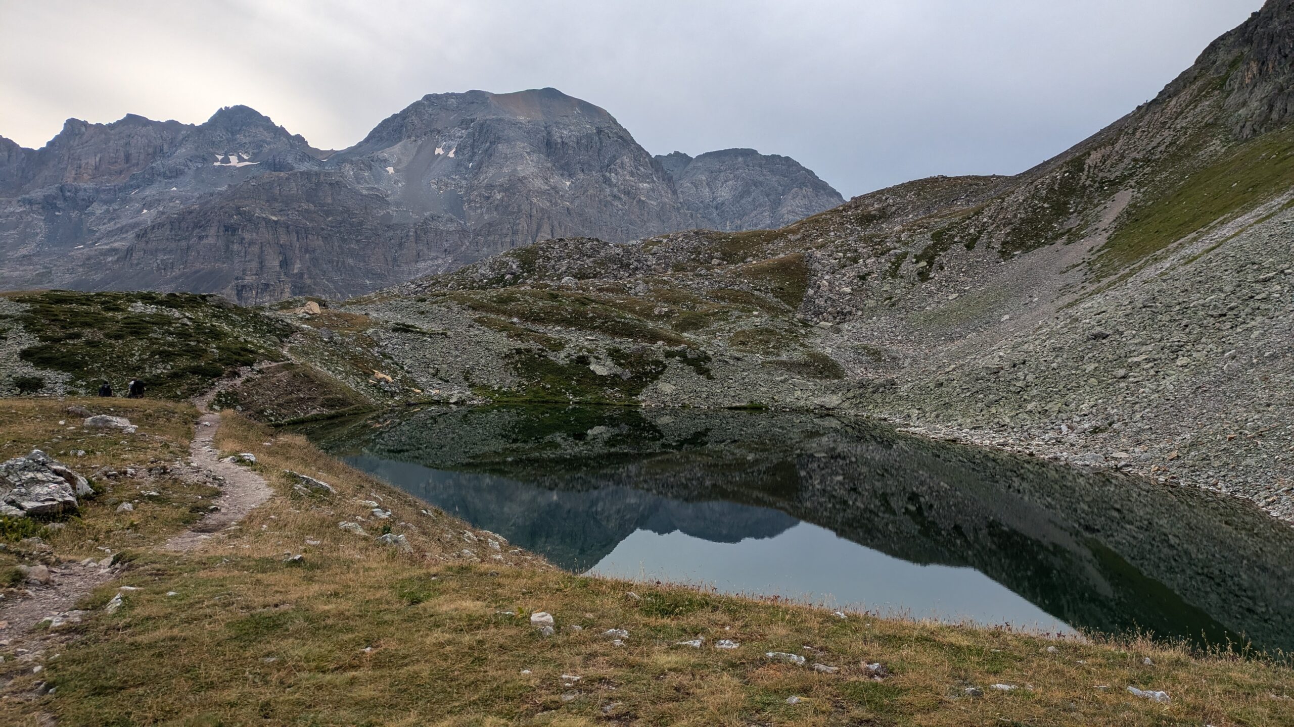
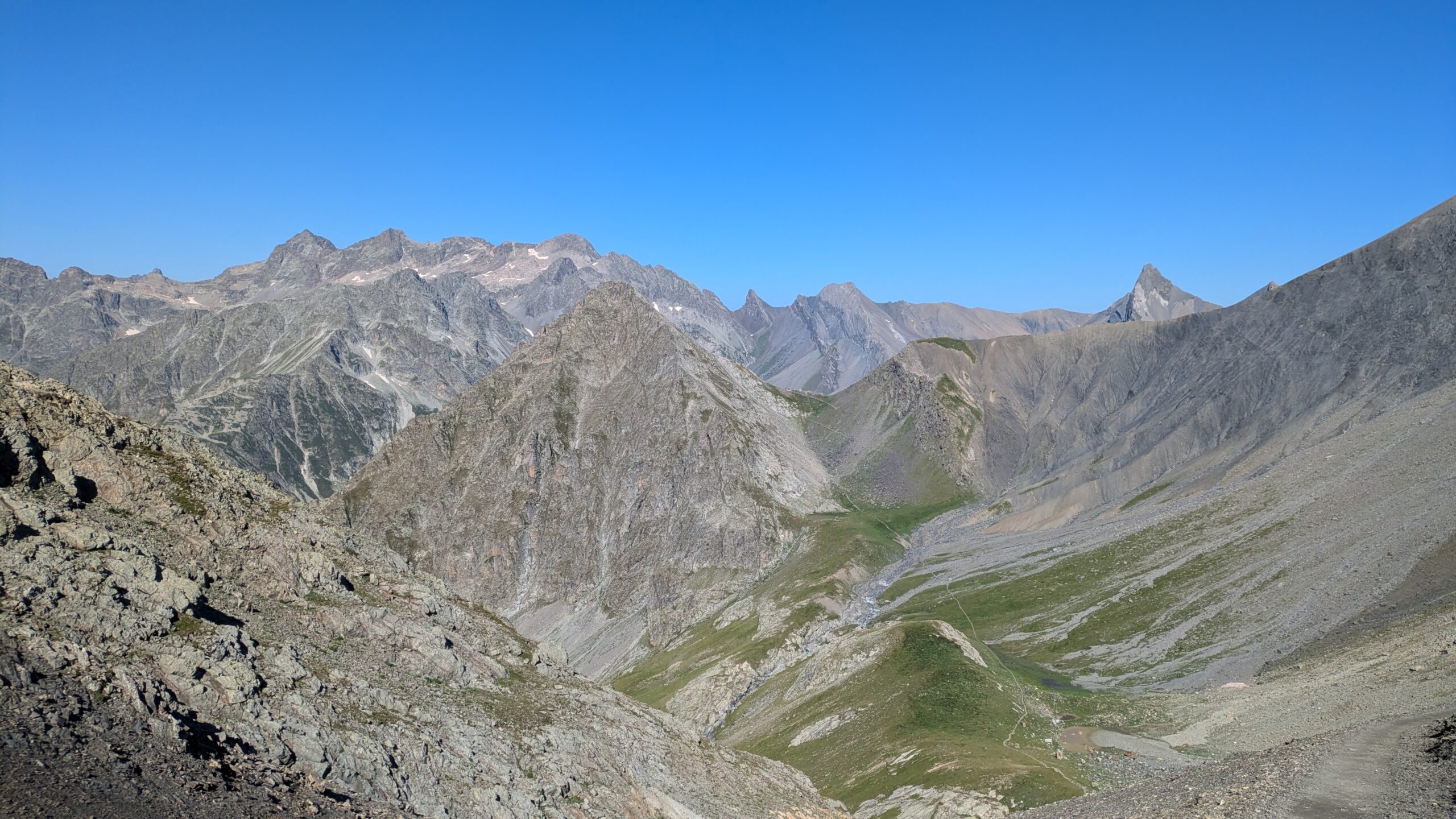
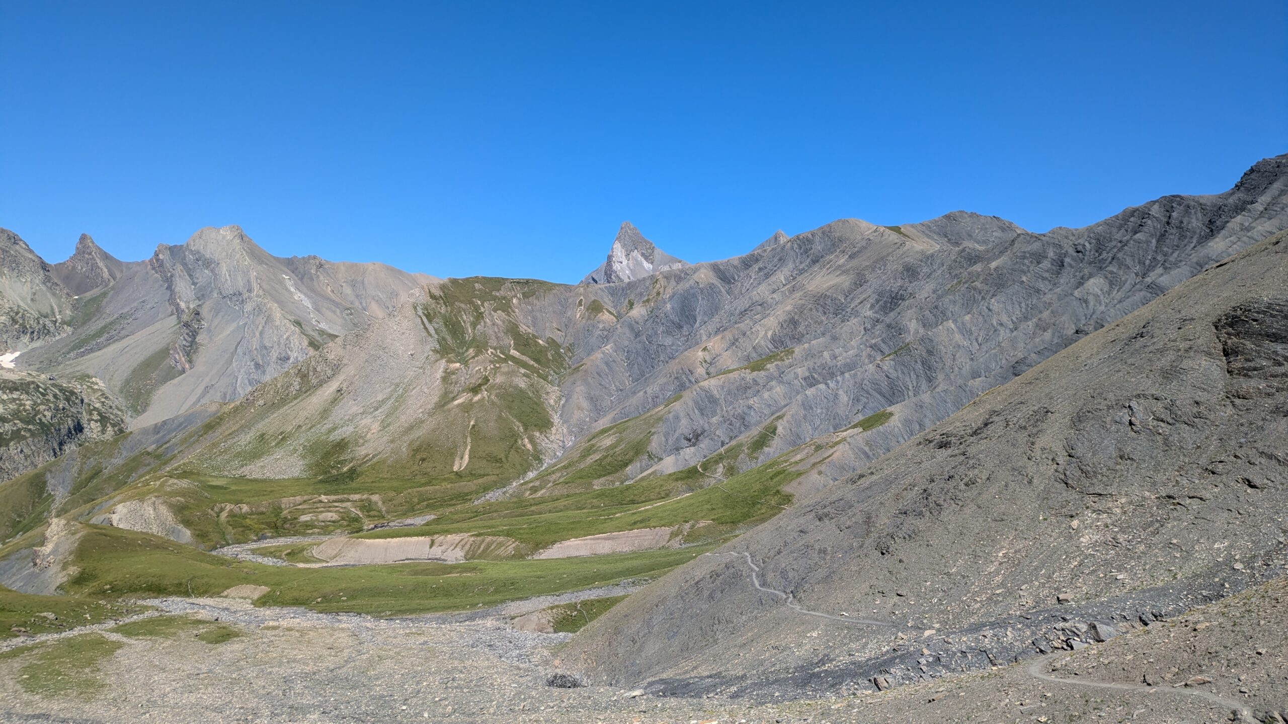
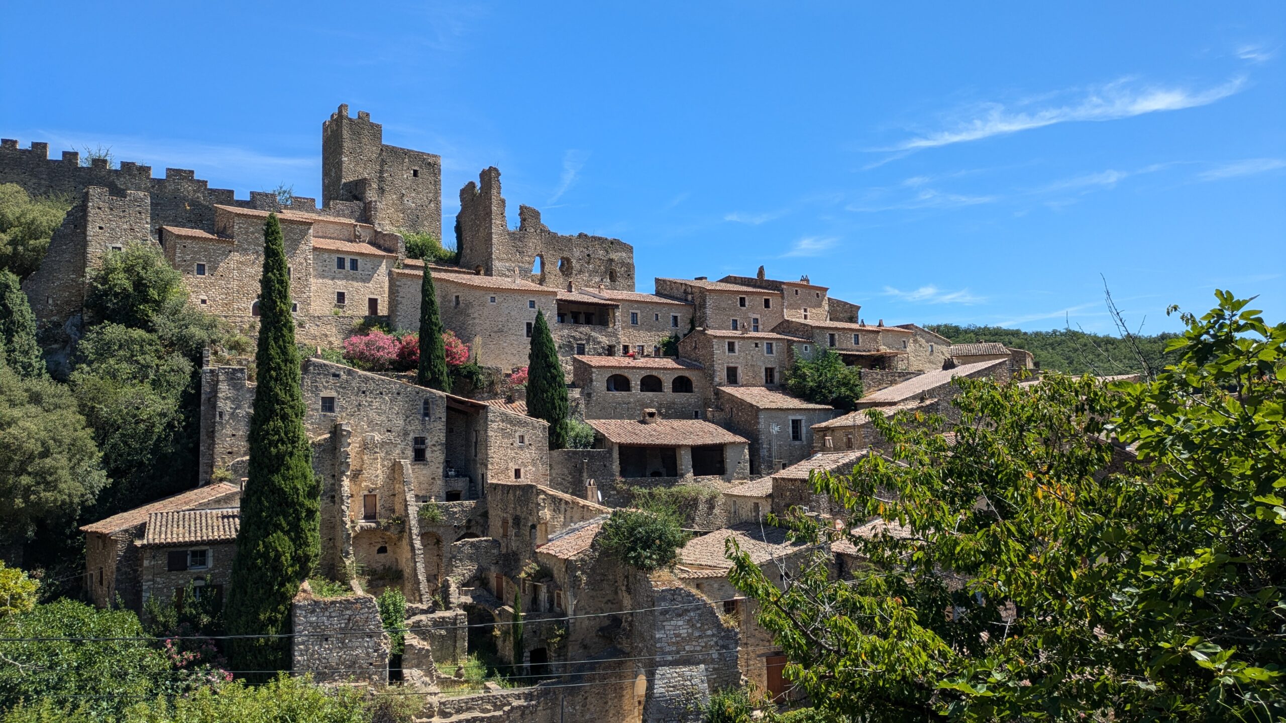
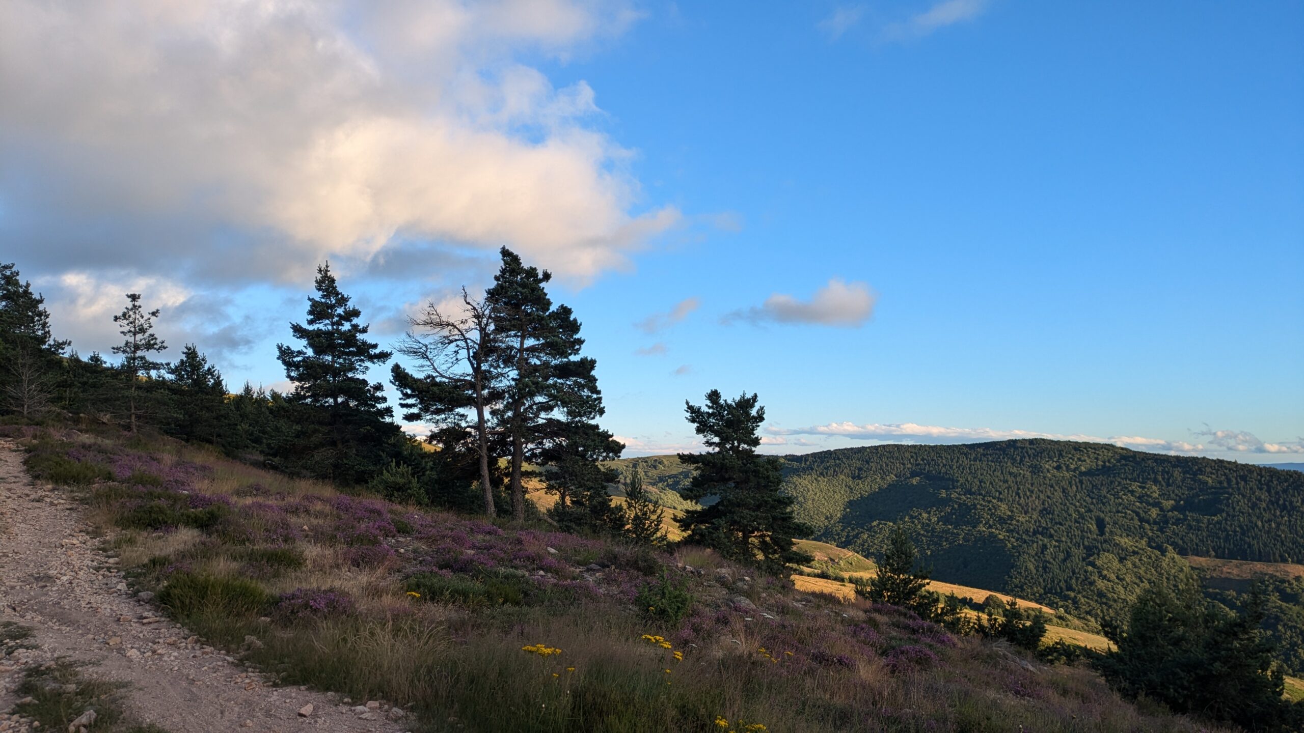
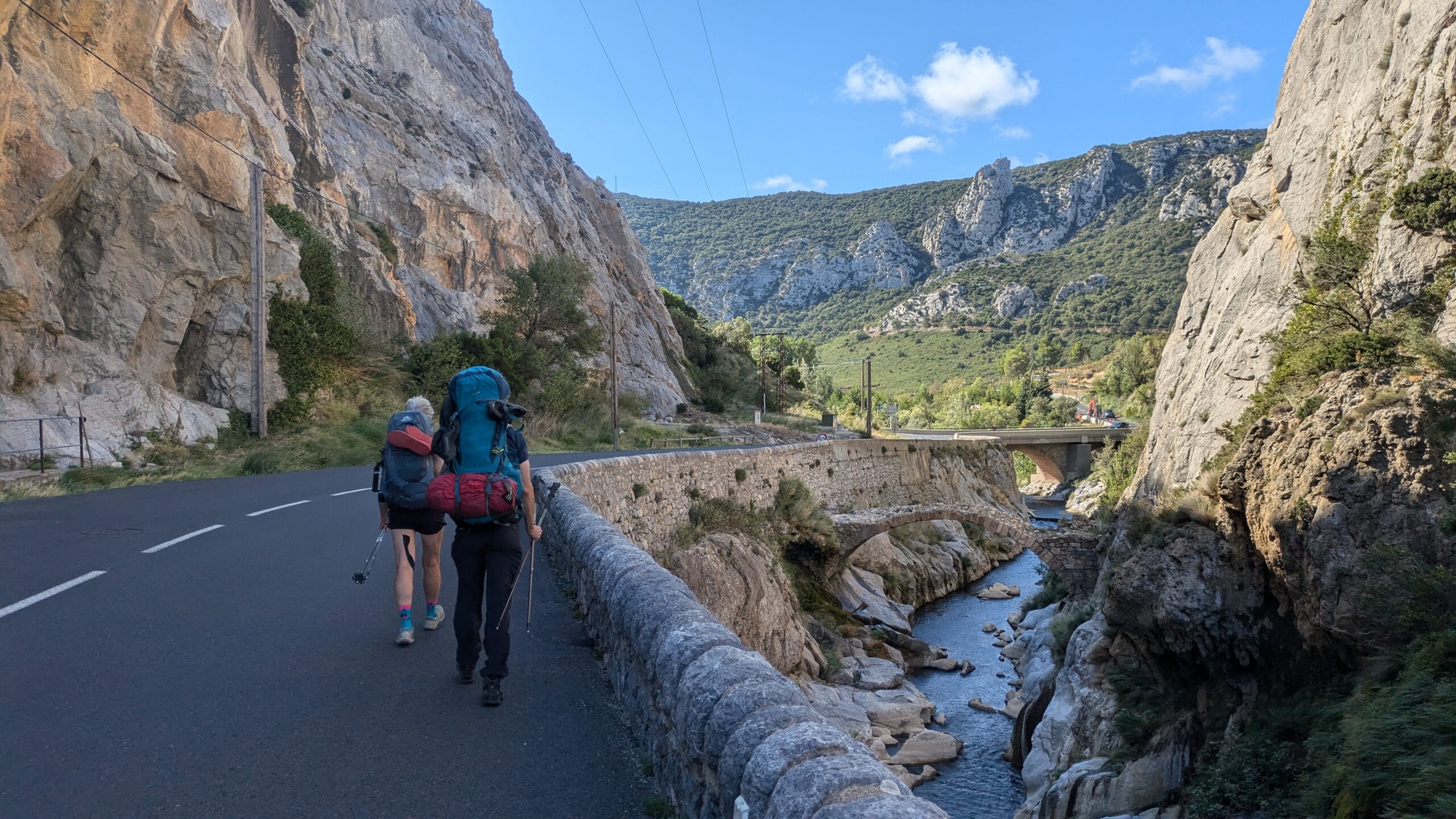
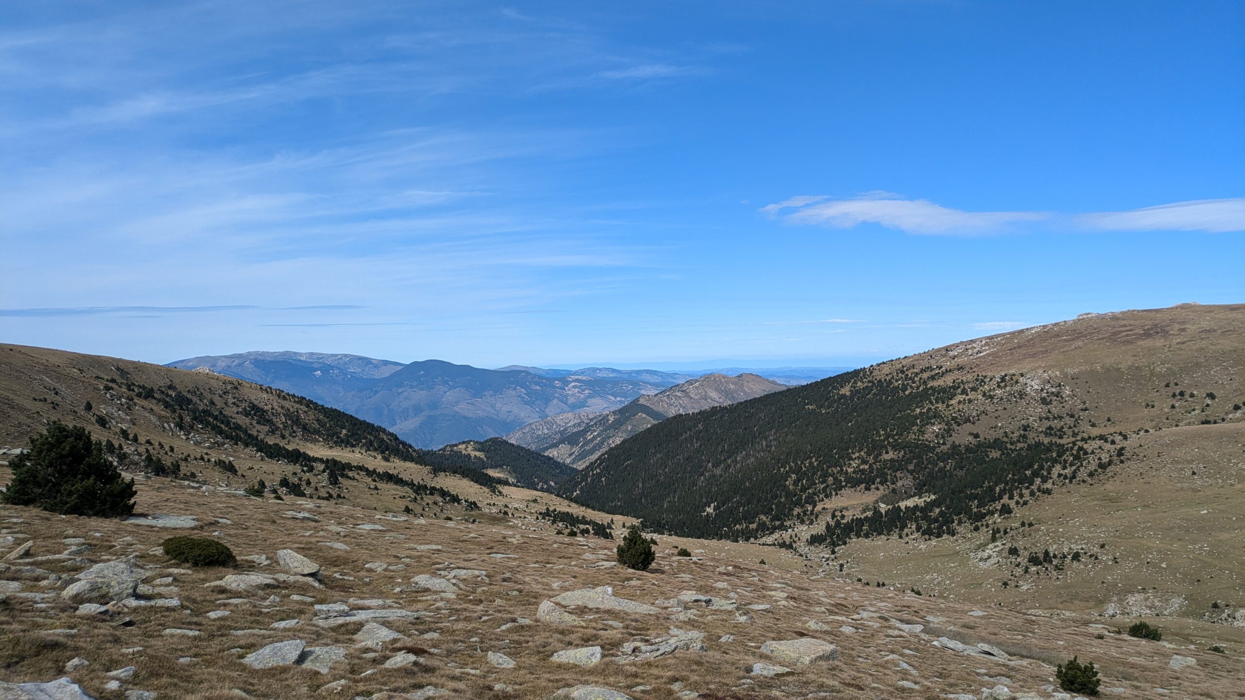
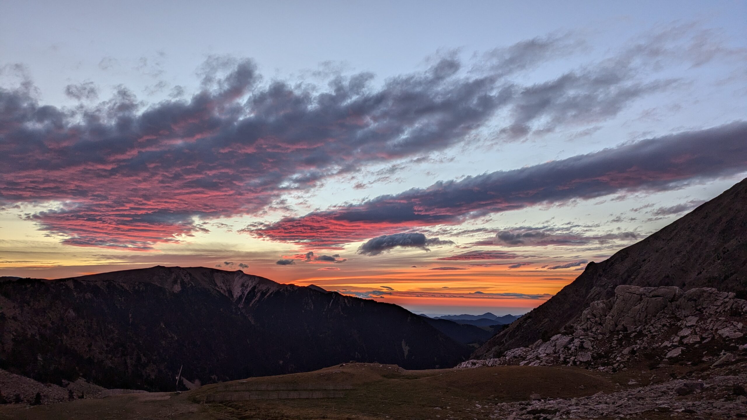
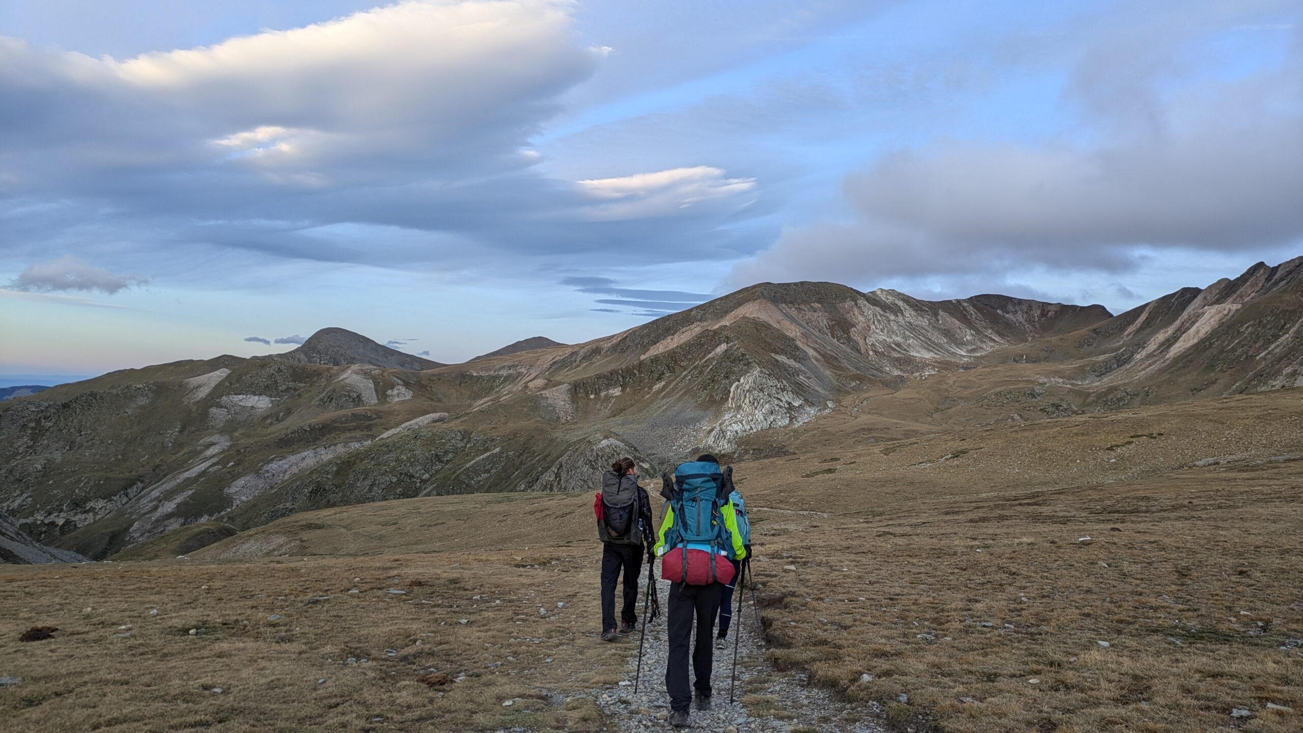
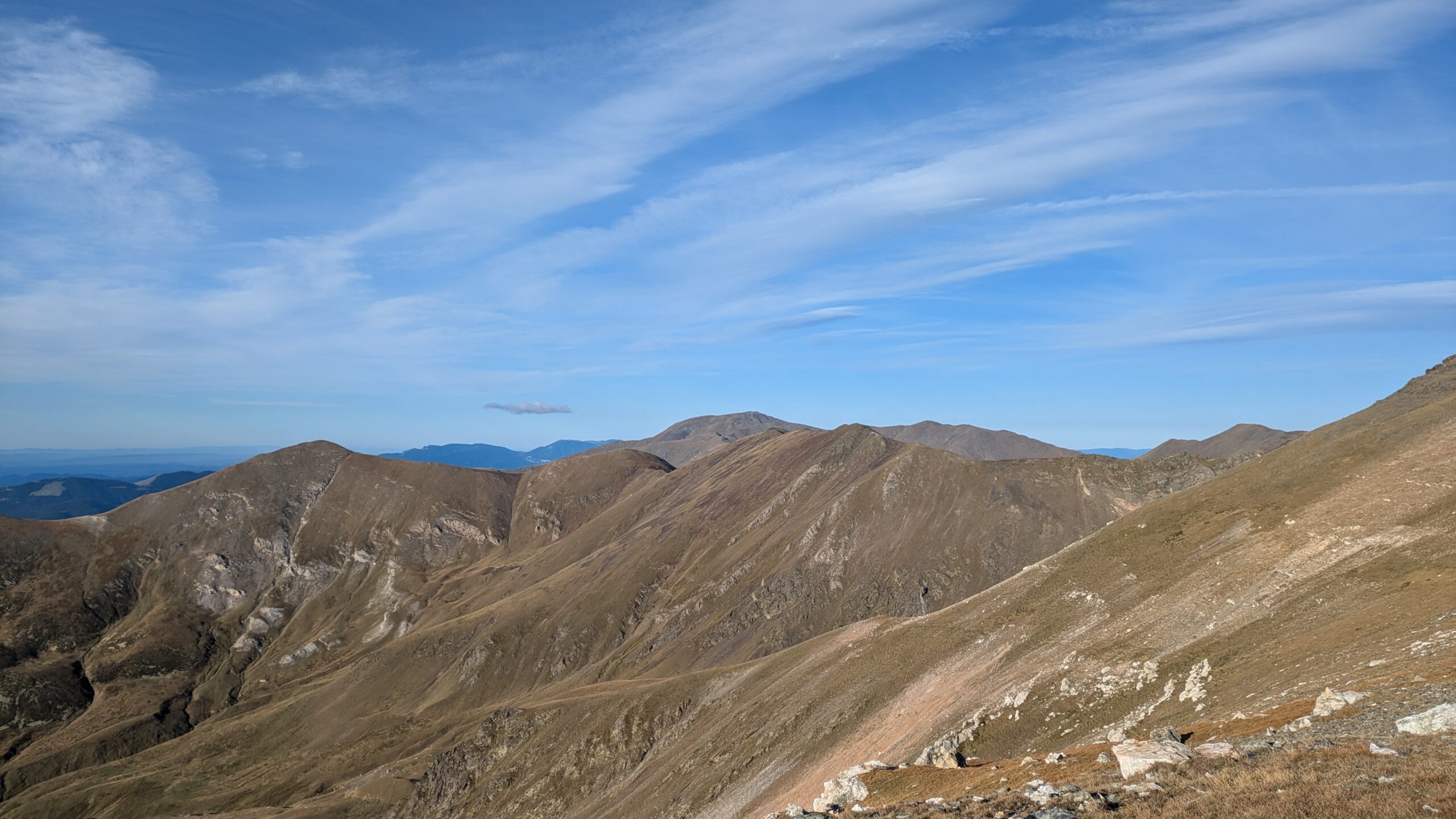
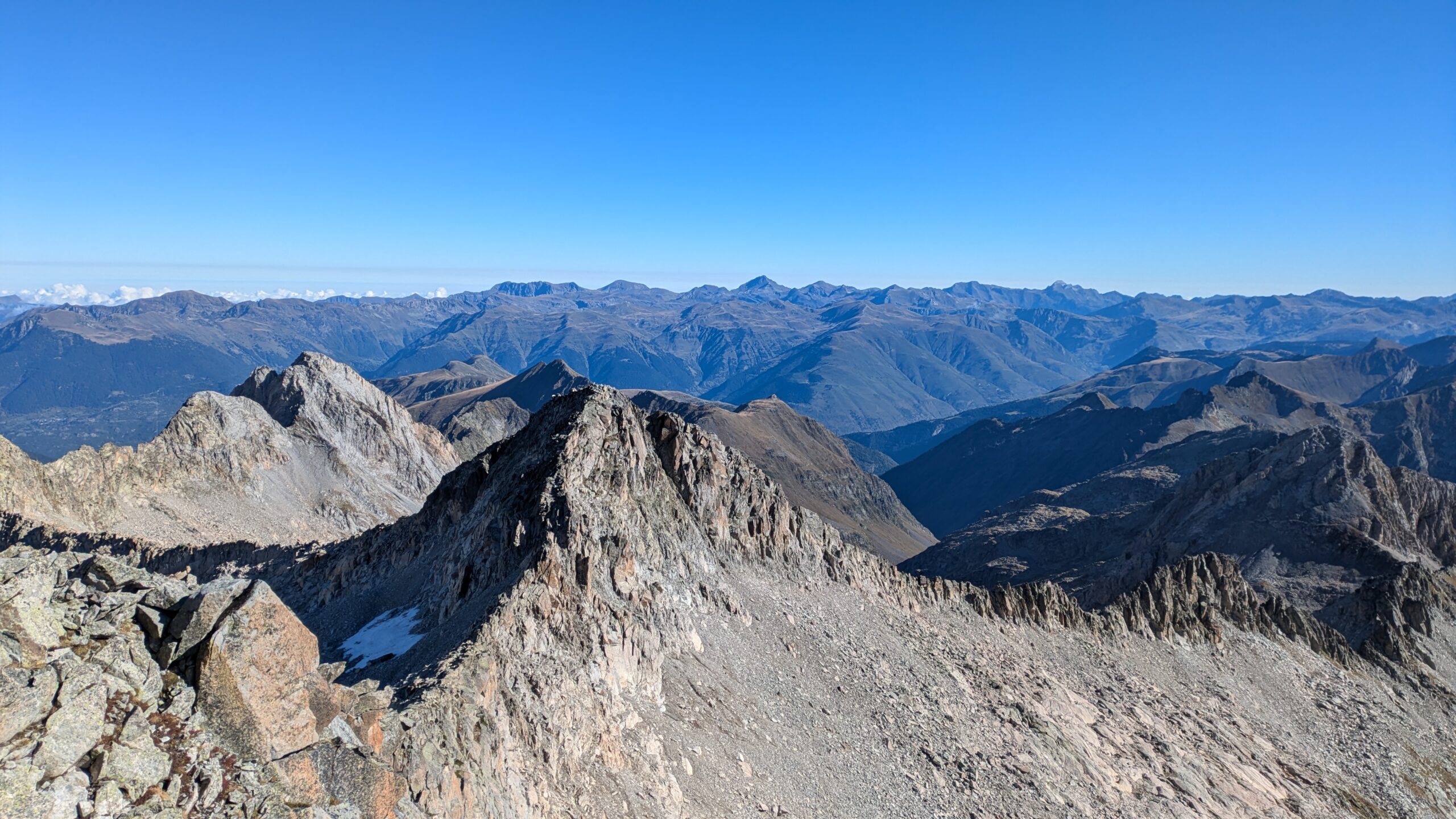
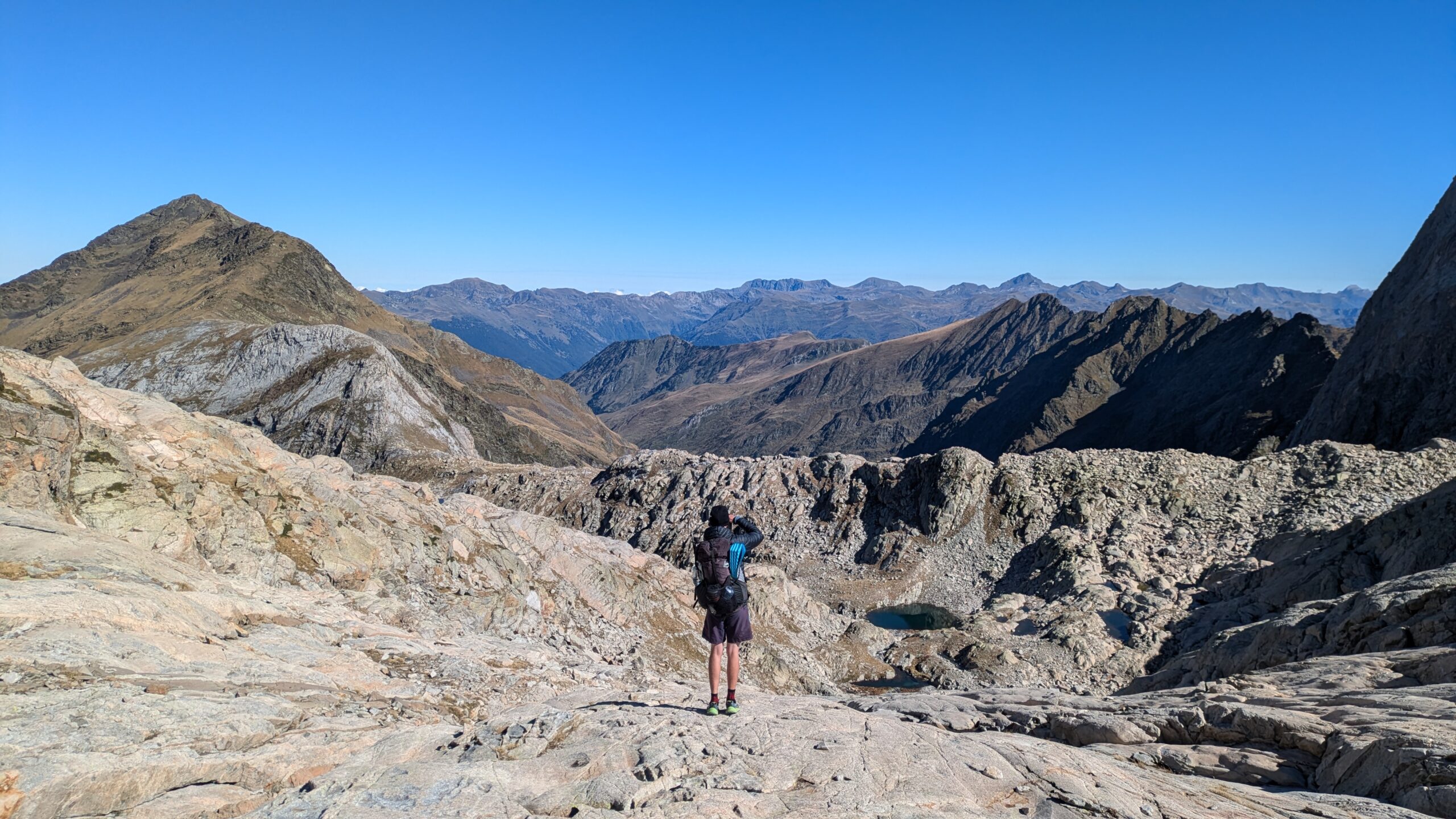
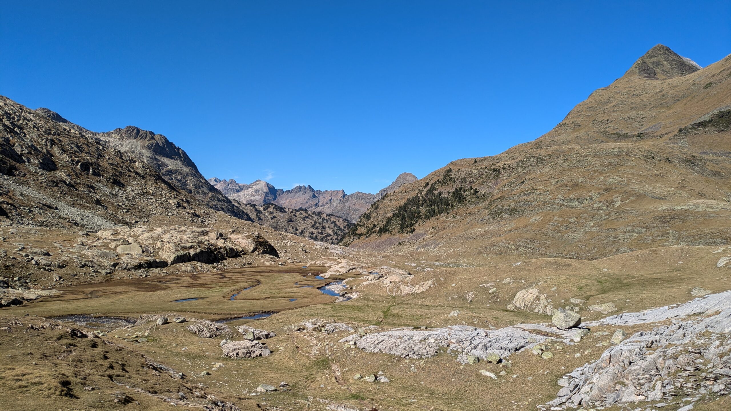
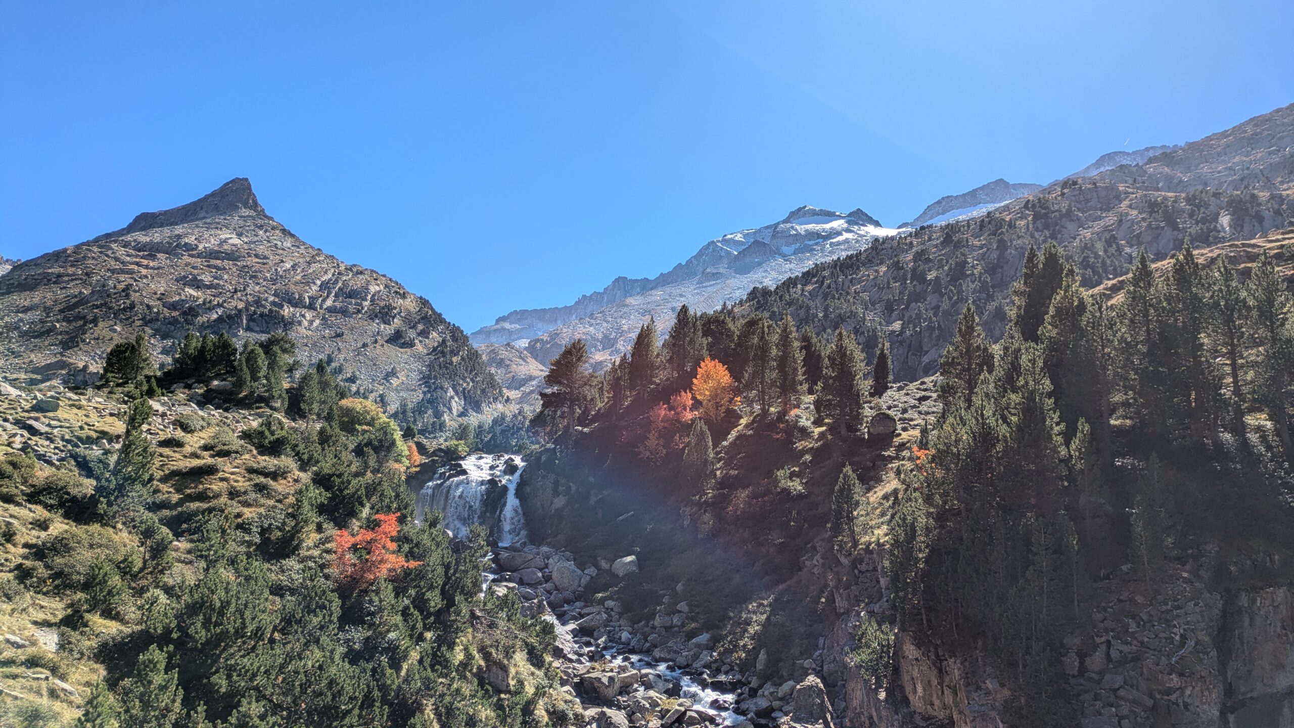
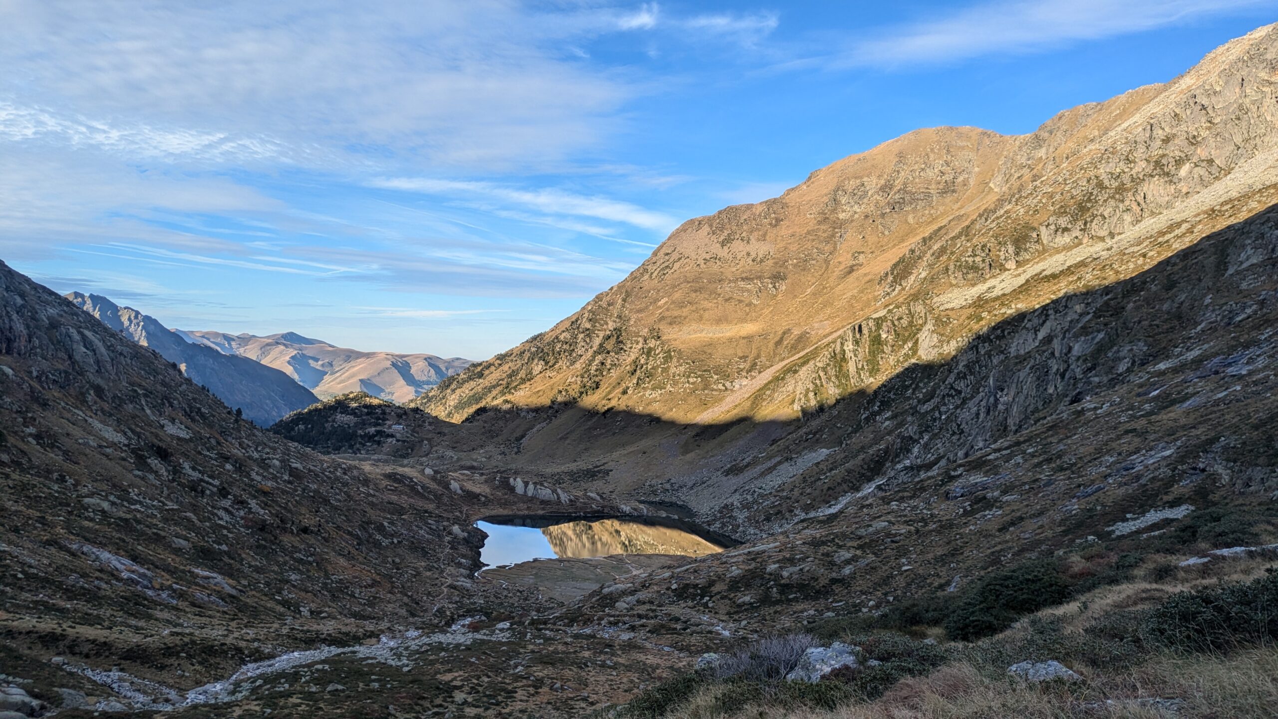
Stage 5 of the HexaTrek stretches over 532 km between the Corbières, Catalonia, and Ariège, with a positive elevation gain of 30,600 meters, to be completed in 25 to 35 days. This stage takes you along the wild ridgelines of the Pyrenees, crossing borders between France, Andorra, and Spain, and offering exceptional panoramas over forests and mountain landscapes. Hikers can also choose an alternative route via the Haute Route des Pyrénées (HRP) for an even more immersive experience.


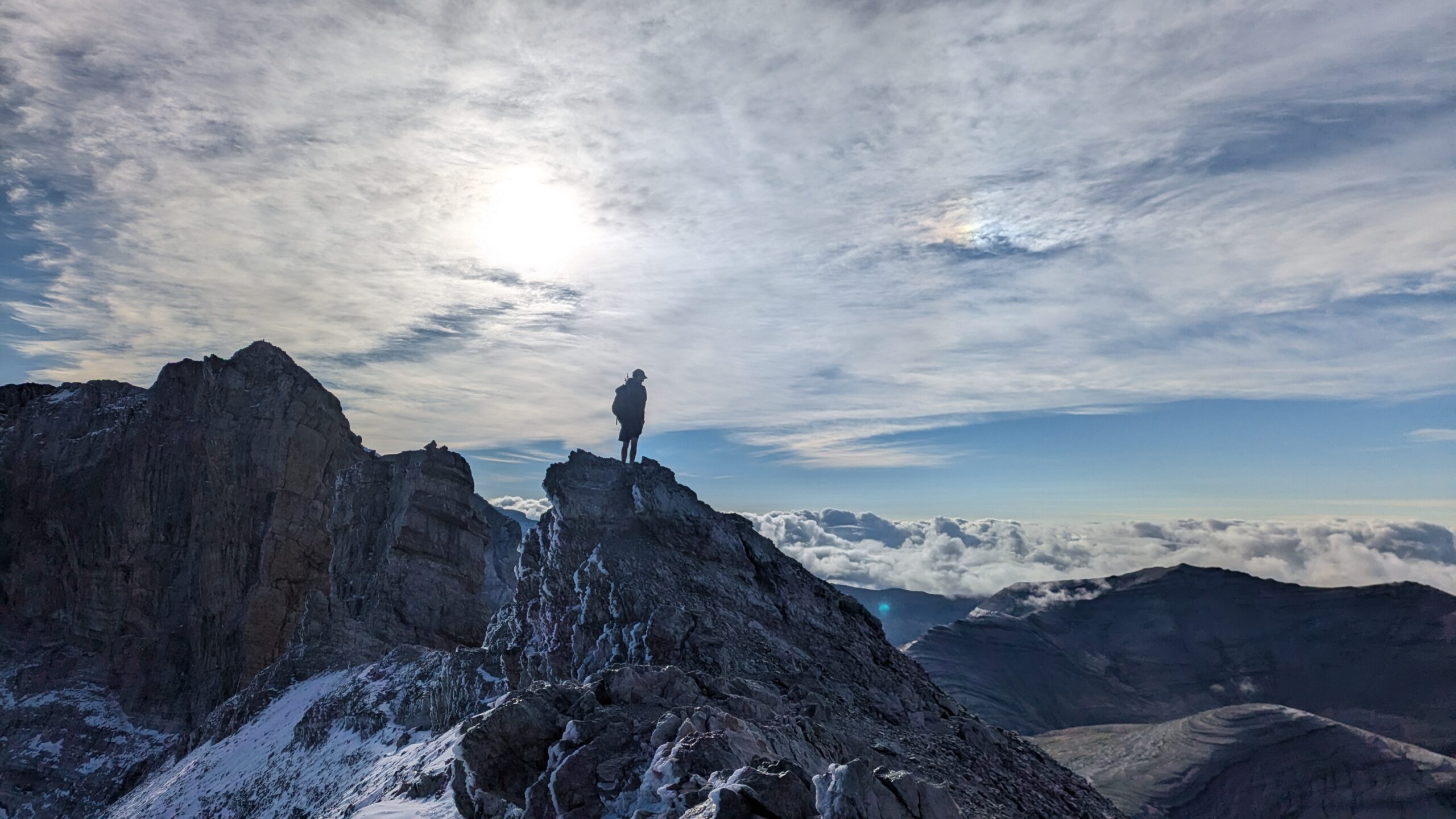
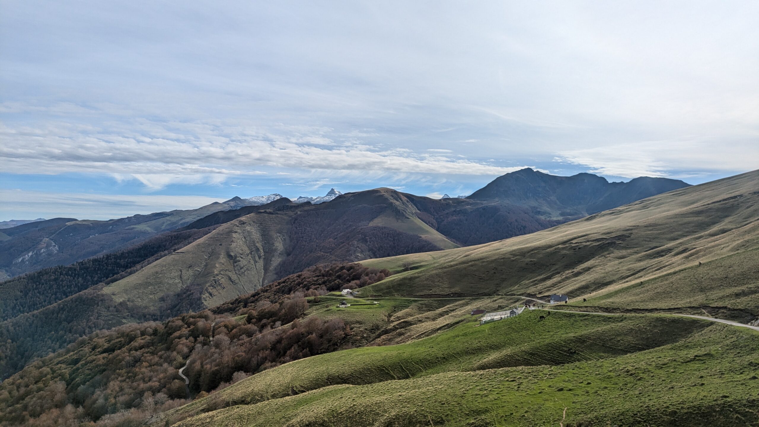
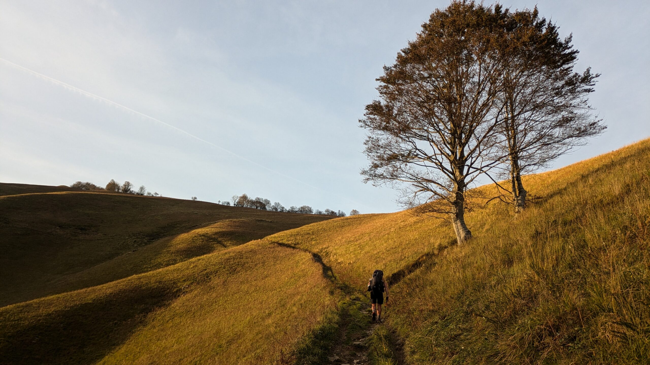
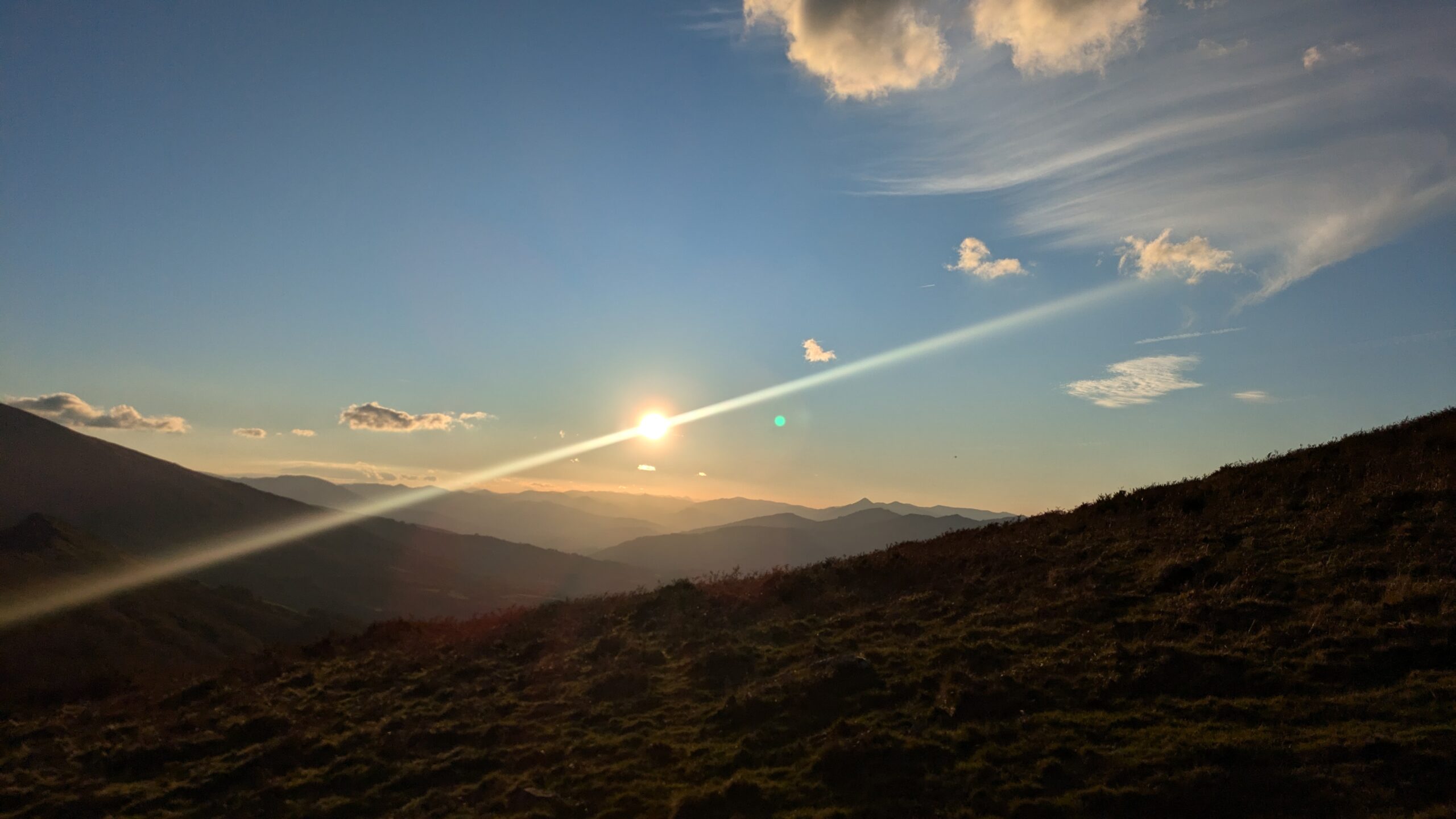
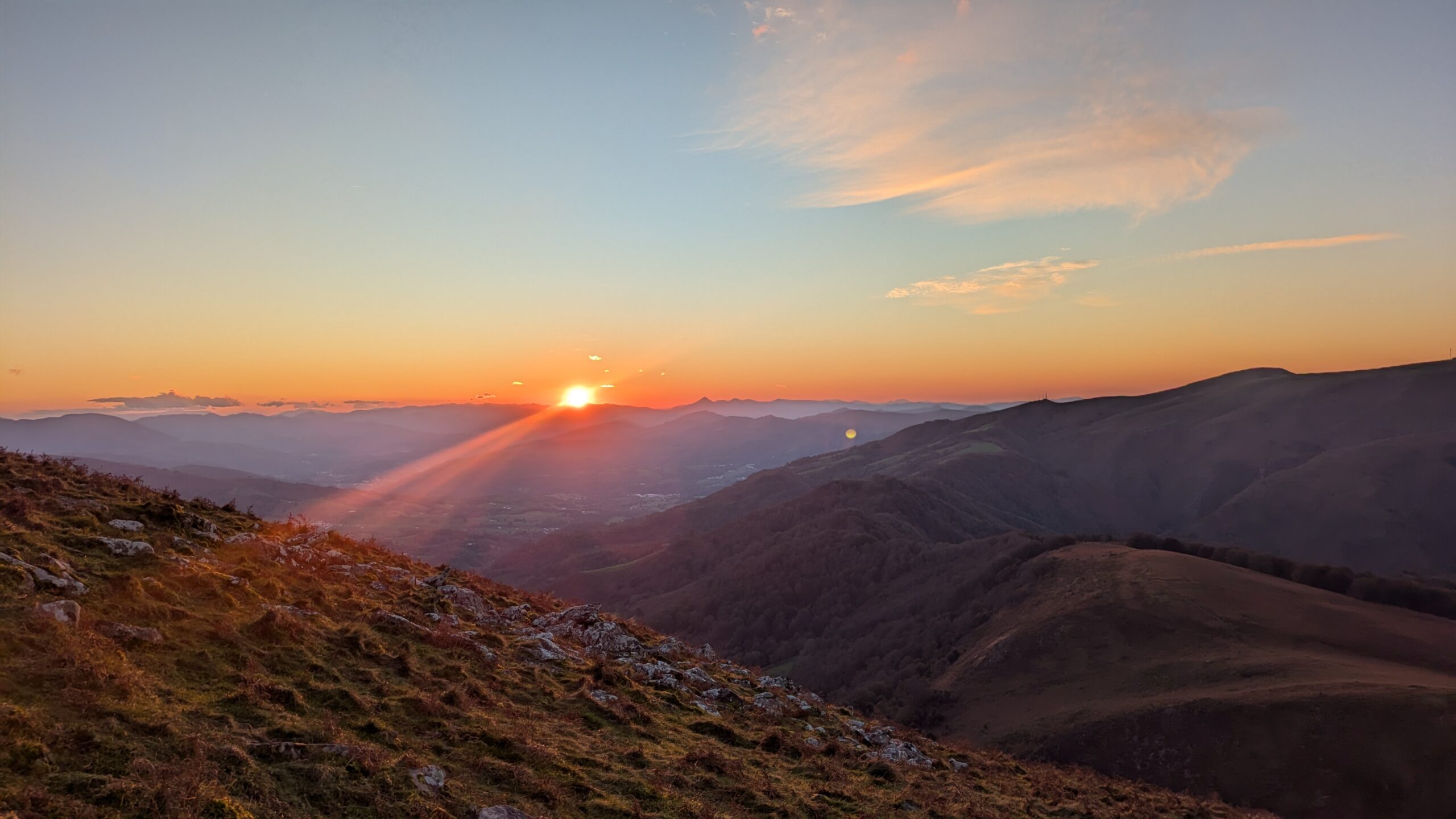
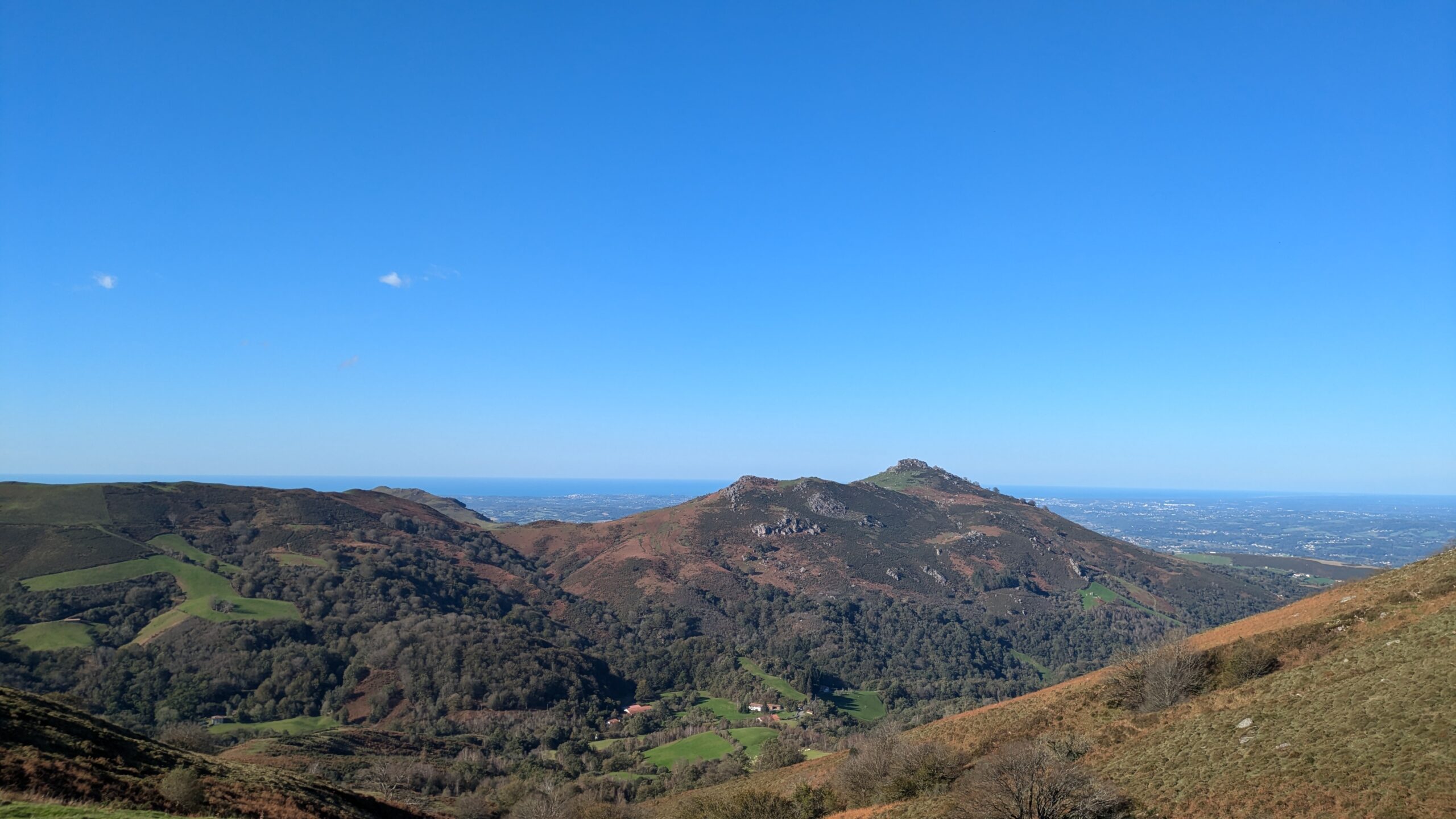
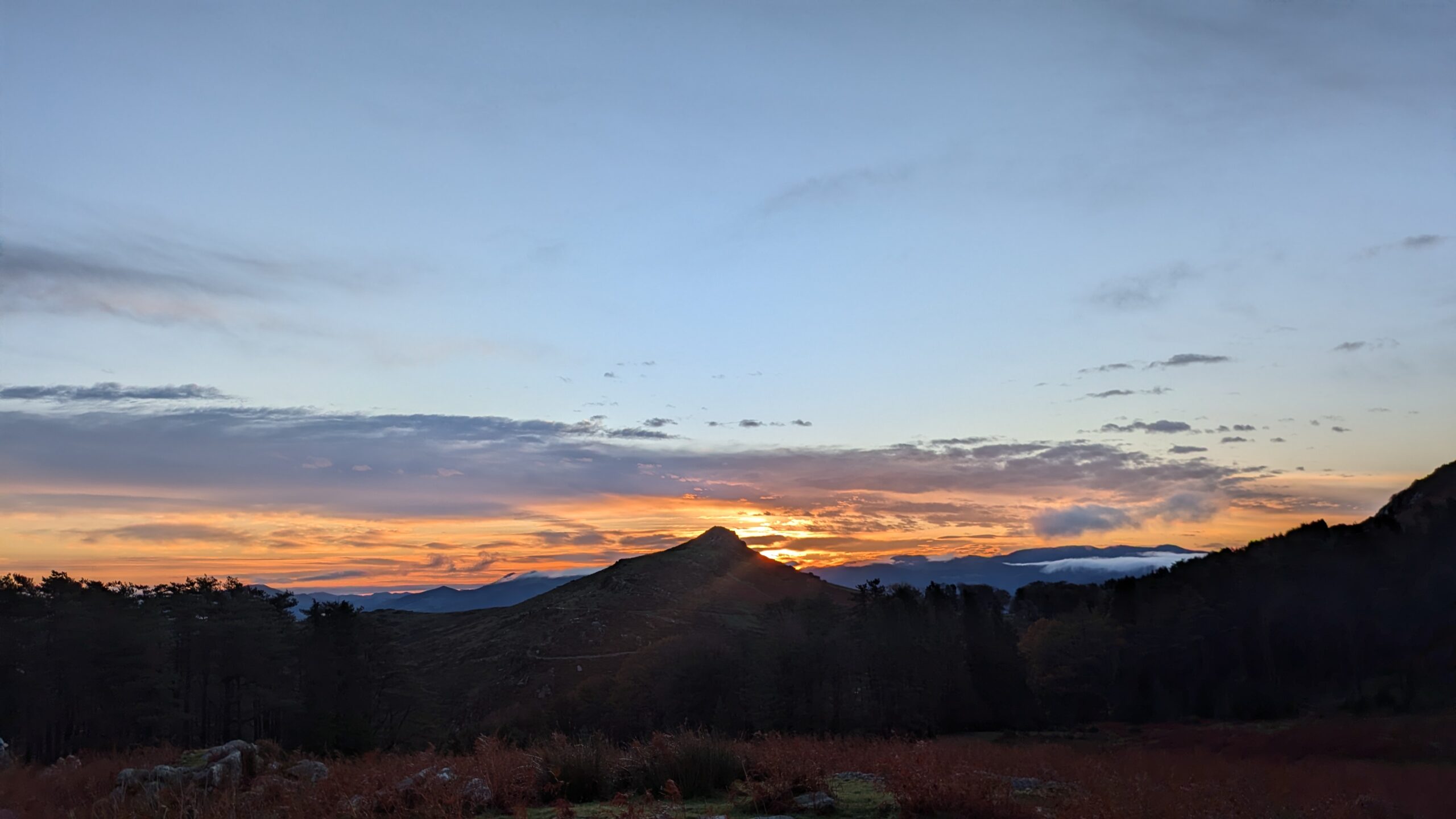
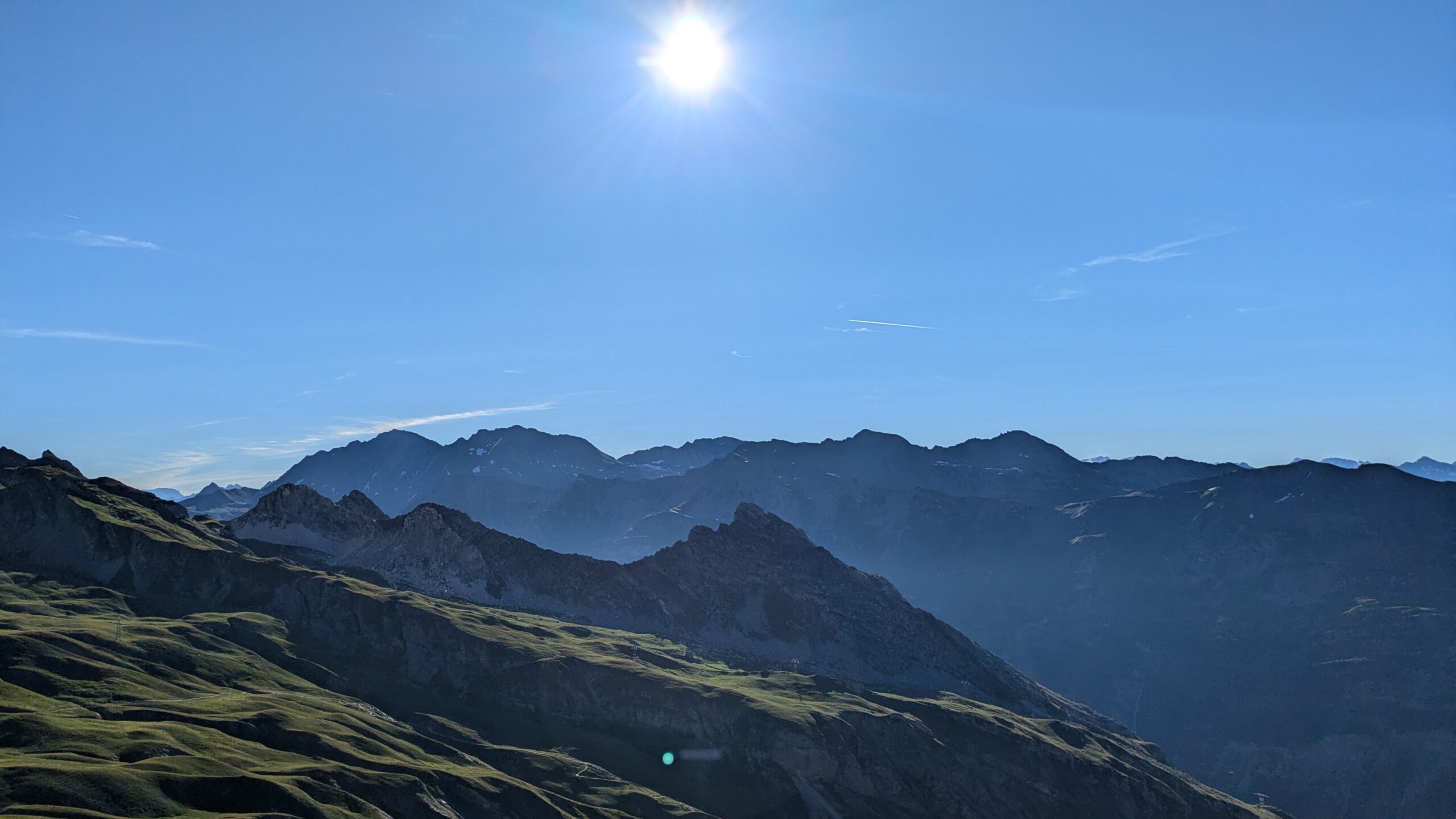
Stage 6: Western Pyrenees
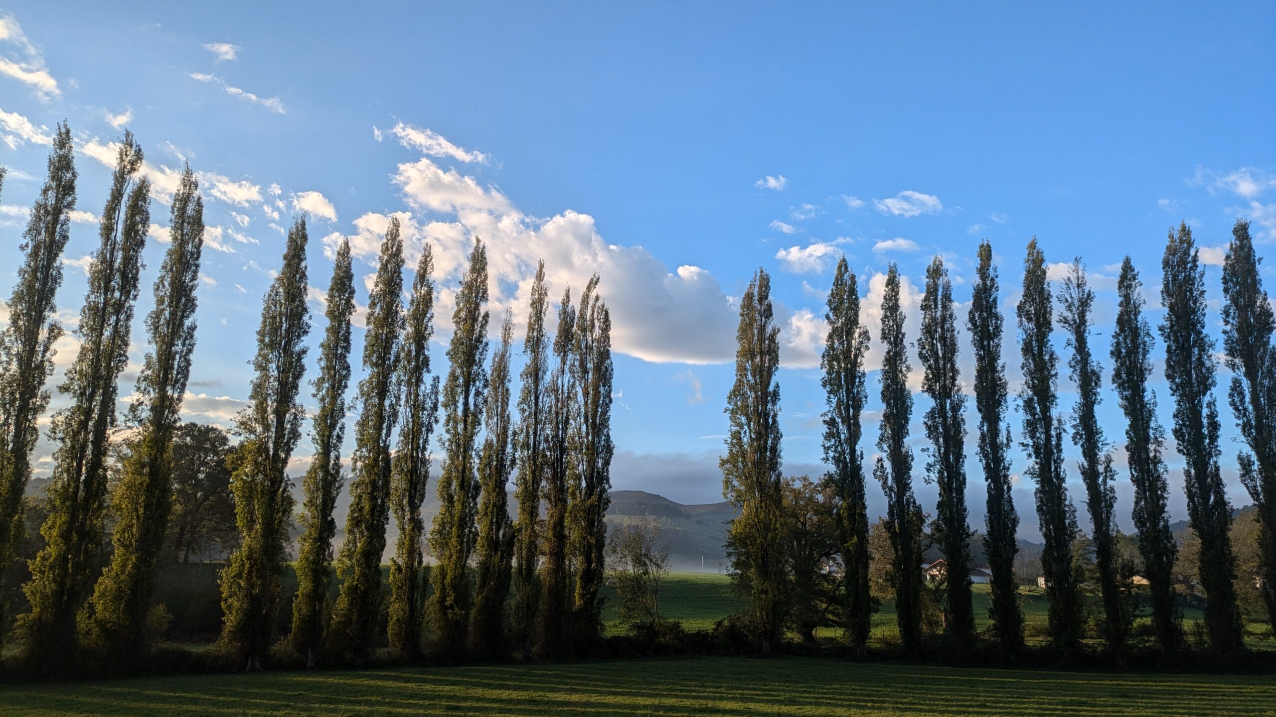
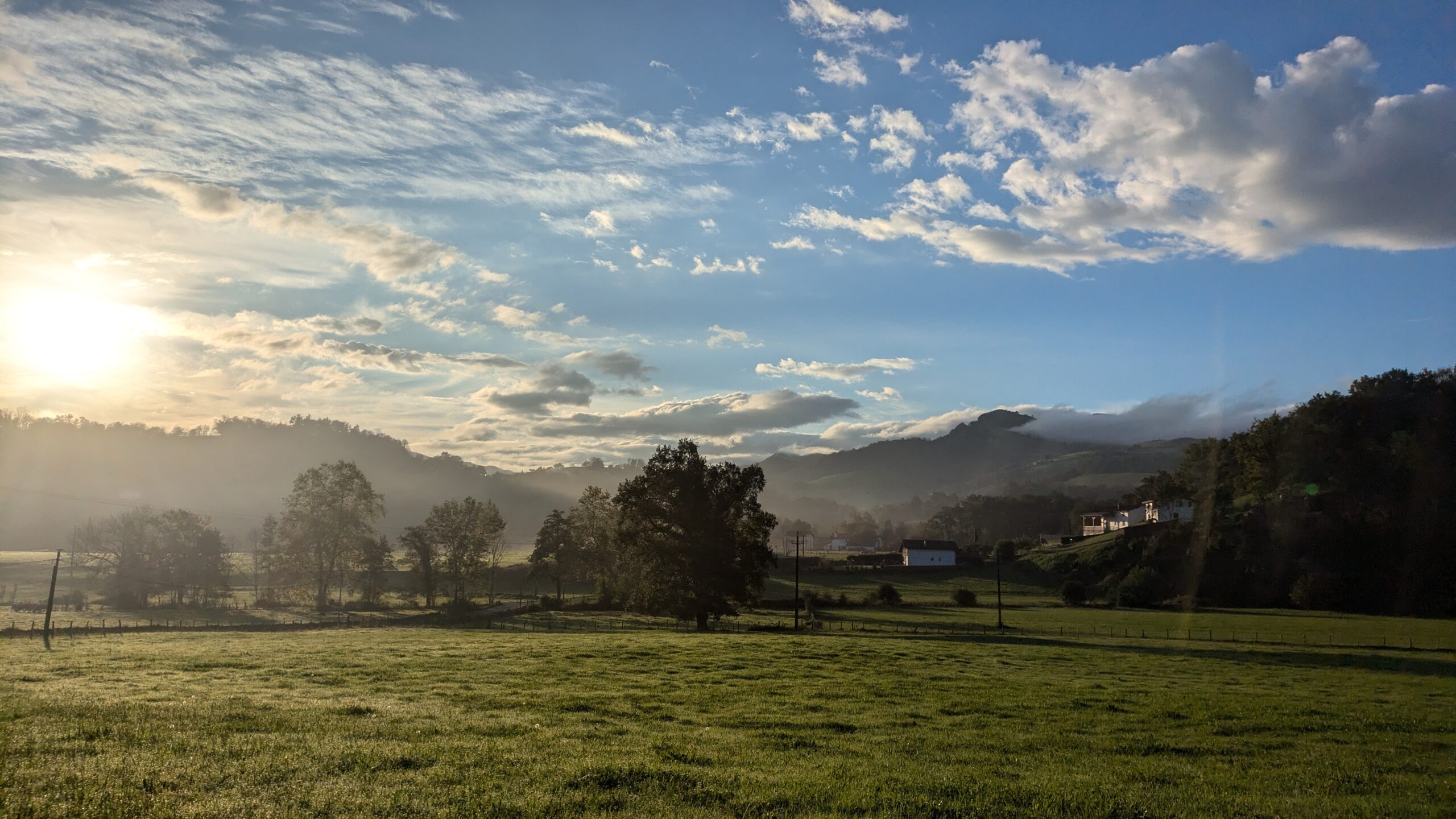
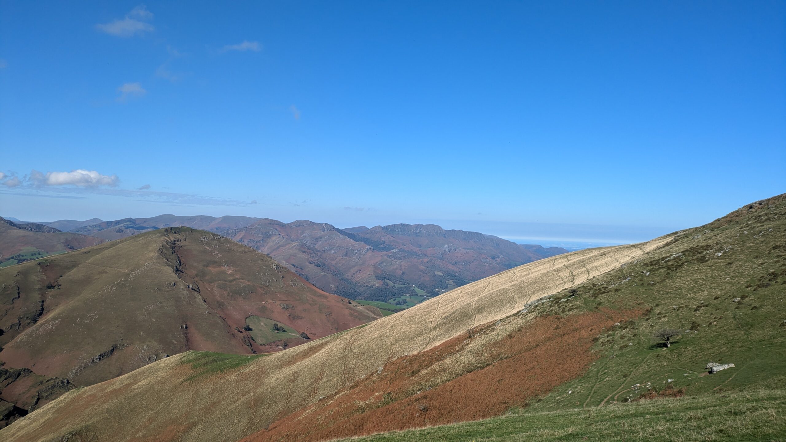
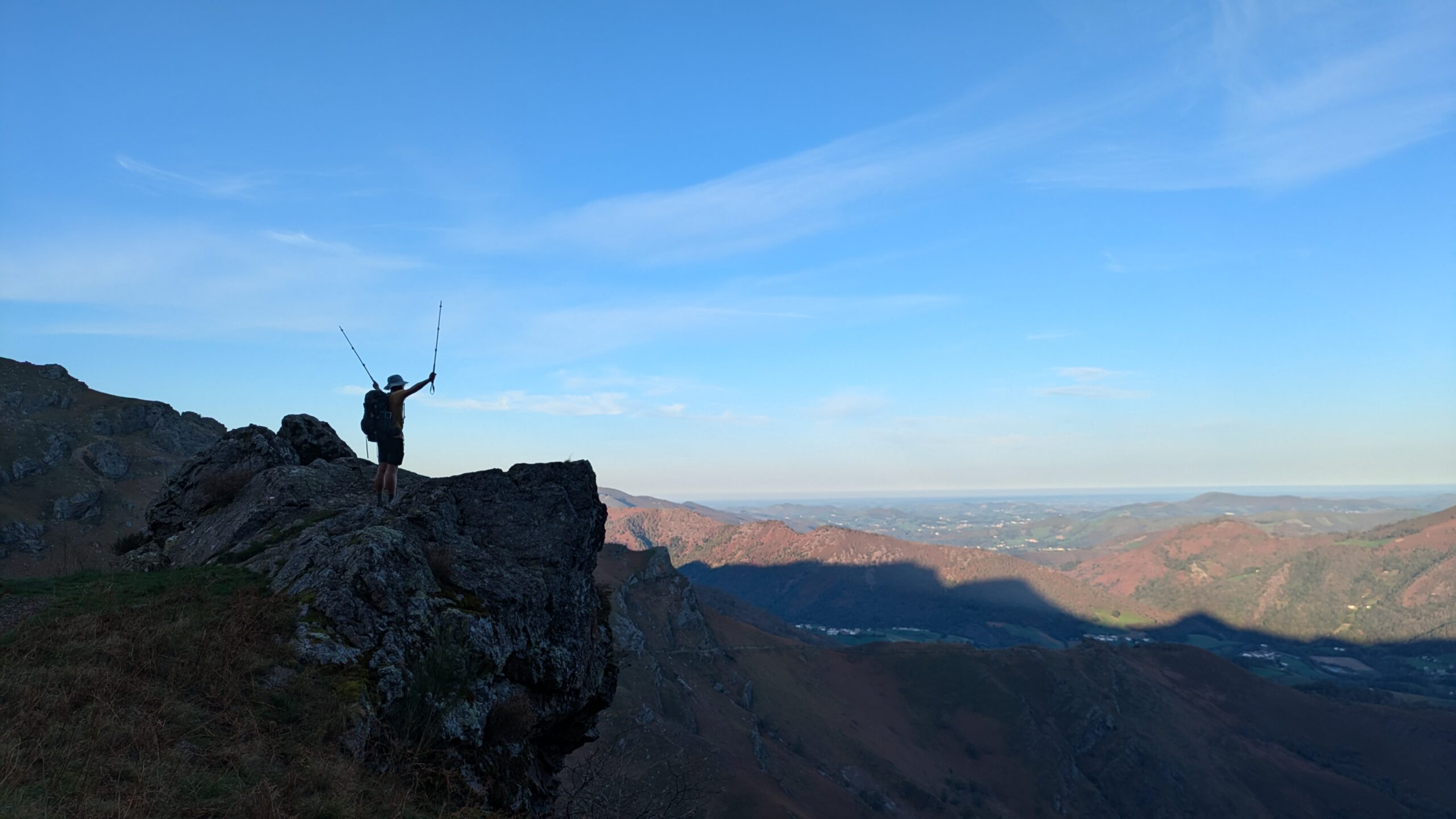
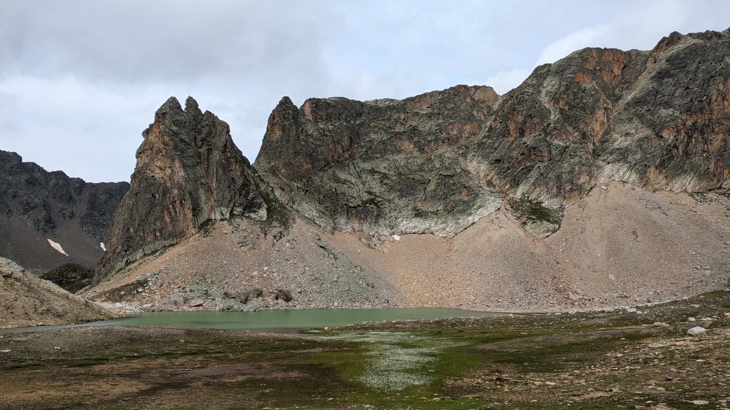
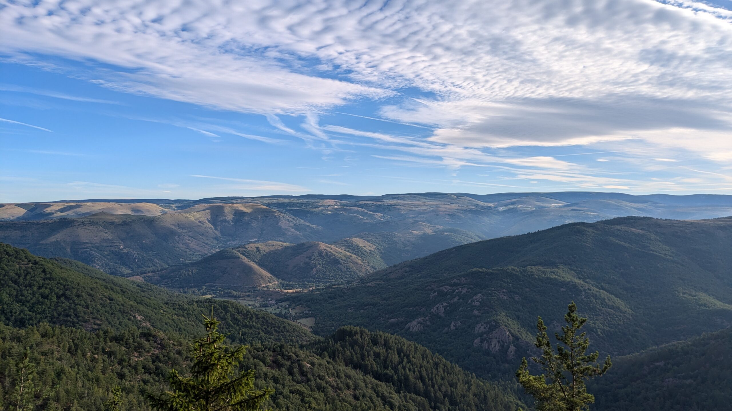
Stage 6 of the HexaTrek spans 437 km between the Pyrenees National Park, Béarn, and the Basque Country, with a total elevation gain of 22,600 meters, to be completed over 20 to 30 days. This stage stands out for its imposing peaks and significant elevation changes, offering hikers spectacular landscapes where the beauty of the mountains meets the challenge of sharp ridgelines. It is the final stage when hiking north to south, and the first when going south to north, marking a memorable turning point in the adventure with truly breathtaking panoramas.